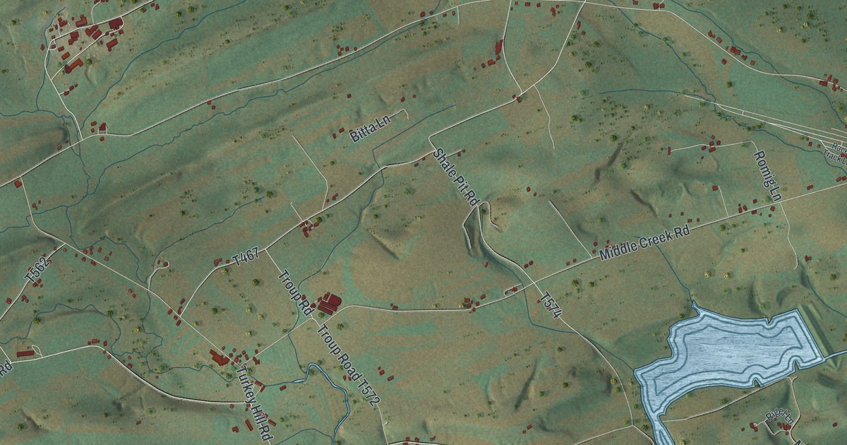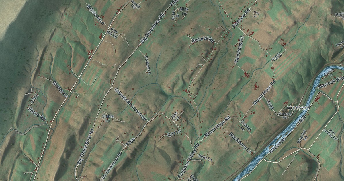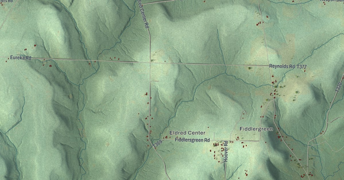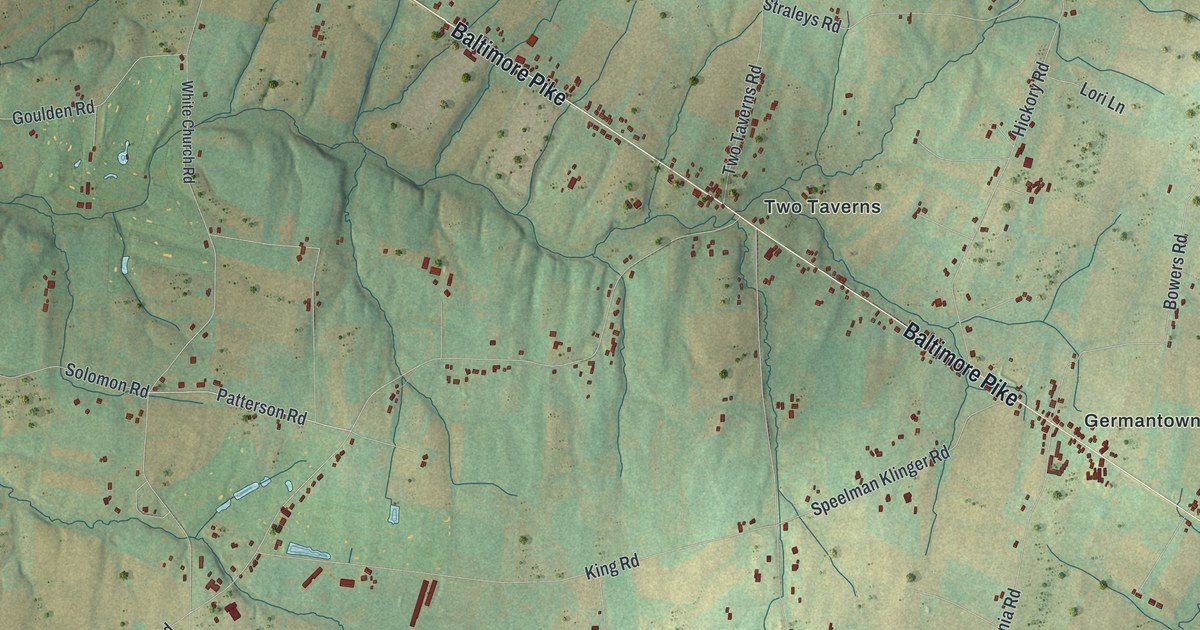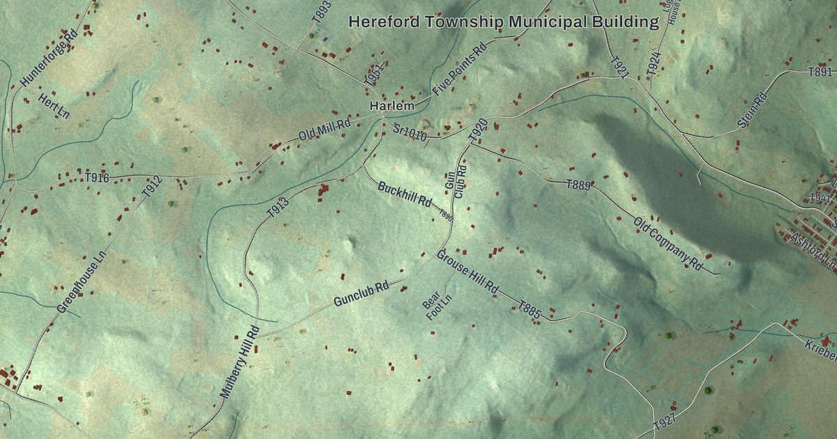
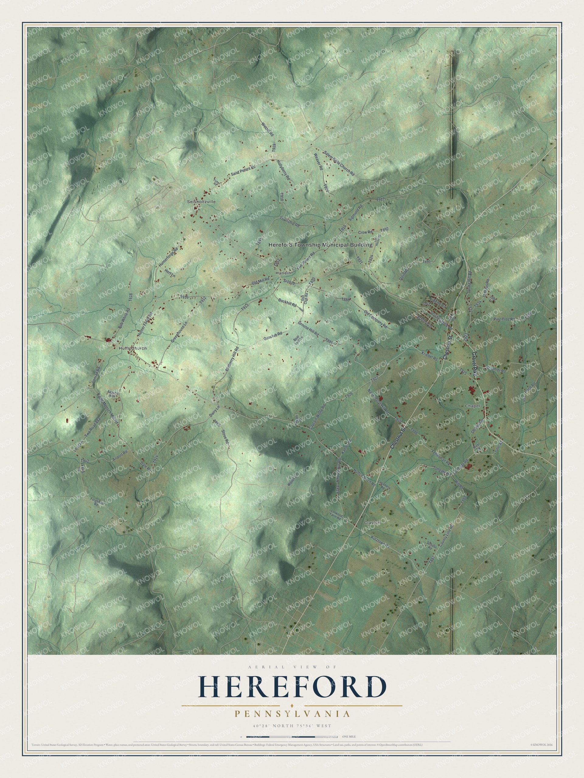
This beautifully detailed map of Hereford, Pennsylvania was created in 2026 using aerial imagery combined with modern topographical, census, street and landmark data. It's a modern aerial view of Hereford in Berks County, Pennsylvania, that combines modern data with a vintage aesthetic. The roads feature printed names, and if you look closely you can find your exact house accurately shown in its correct location.
Explore an aerial view of Hereford, Pennsylvania
On this map you'll find Hereford Township Municipal Building, Chapel, Clayton, Harlem, Huffs Church, Seisholtzville, Chestnut Street, Gravel Pike, T885, Grouse Hill Road, Nanny Goat Hill Road, T940, and more. Each red shape is a building, so zoom in on the preview and look for yours.
Hereford has a story worth telling. The PA Historical and Museum Commission puts it this way: "Established by Thomas Maybury in 1745 on the west bank of the Perkiomen Creek for the purpose of manufacturing iron. Maybury is credited with producing here in 1767 the first cast-iron cooking-stove in North America."
Hereford is a place in Berks County. The Census Bureau counted 2,962 people here in 2020.
Take a closer look at the Hereford map
Names on this map
These names are printed on this map.
Places: Hereford Township Municipal Building, Chapel, Clayton, Harlem, Huffs Church and Seisholtzville.
Streets and roads: Chestnut Street, Gravel Pike, Grouse Hill Road, Nanny Goat Hill Road, Kutztown Road, Kriebel Road, Toll Gate Road, Seisholtzville Road, Tollgate Road, Sr1010, Salem Bible Church Road, Five Points Road.
More street names, A to Z
Airport Road, Apache Run, Ashford Lane, Bear Foot Lane, Bob White Road, Buckhill Road, Camp Mensch Mill Road, Captain Wolfe Road, Church Hill Road, Conrad Road, County Line Road, Creamery Road, Crow Road, Dairy Lane, Dale Road, Fetterman Road, Fisher Road, Forgedale Road, Greenhouse Lane, Gunclub Road, Gun Club Road, Hert Lane, Heyser Road, Hill Road, Hoch Road, Hollyberry Road, Huffs Church Road, Hunterforge Road, Hunter Forge Road, Jade Lane, Kahler Road, Kemp Road, Lesher Road, Liberty Circle, Log House Road, Long Lane, Lorwood Farm Road, Mulberry Hill Road, Old Company Road, Old Mill Road, Orthaus Road, Pine Tree Road, Rizzi Square, Saint Peters Road, Schuhler Road, Schultz Road, Shiffert Road, Sigmund Road, Spring Hill Road, Star Road, Stein Road, Stove Road, Township Road, Twp Road 882, Weaver Road, Wetzel Road, Woods Lane.
Created by KNOWOL in 2026. The buildings are small red shapes, the roads carry their printed names, and shaded relief shows the shape of the land. The title panel reads "AERIAL VIEW OF HEREFORD PENNSYLVANIA" with 4, 0, °, 2, 8, ', , N, O, R, T, H, , 7, 5, °, 3, 6, ', , W, E, S, T.
It looks right in a kitchen, an office or a den, and it's a gift for anyone who grew up in Hereford or moved away. Open the preview and find your street. See sizes and frames for the Hereford map.