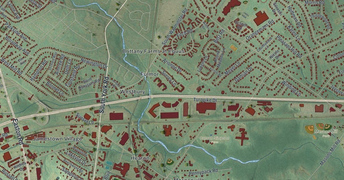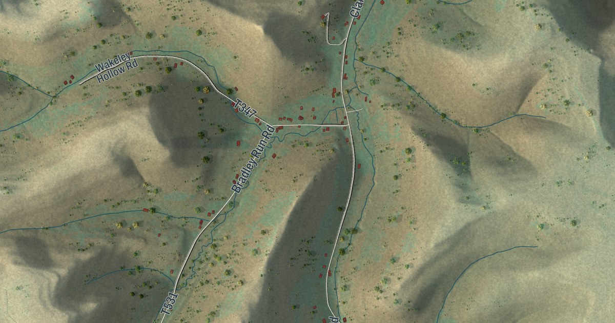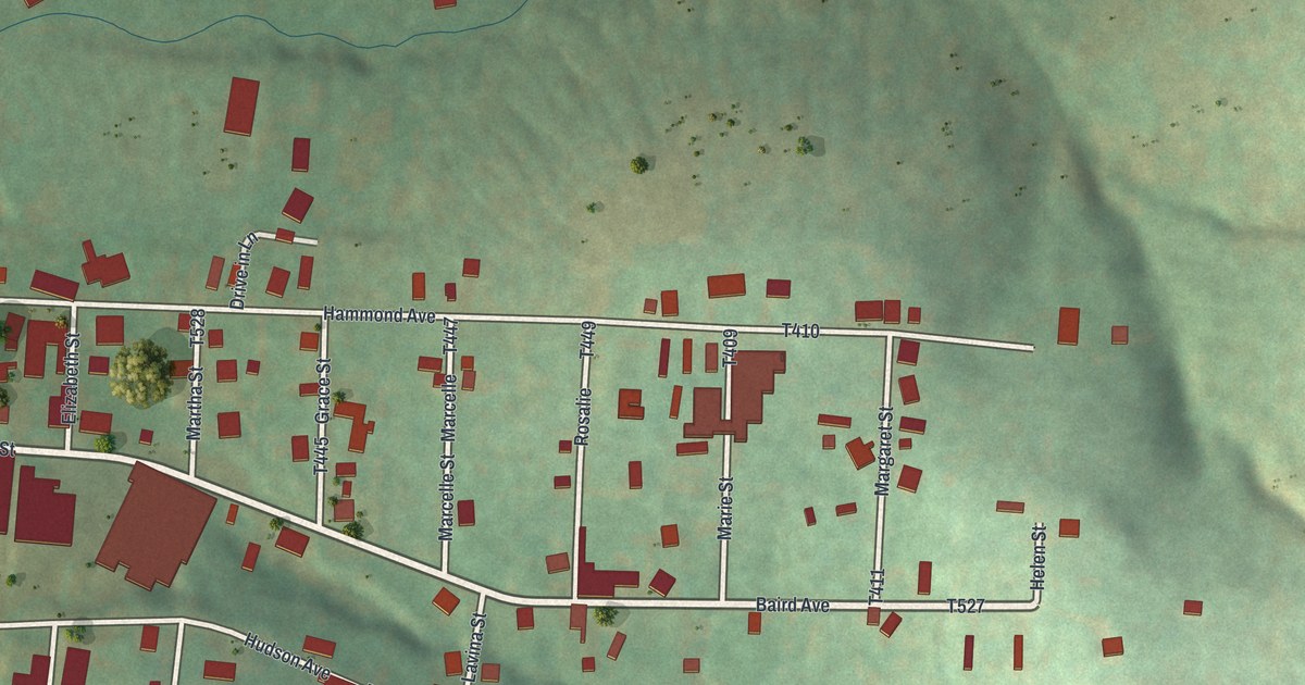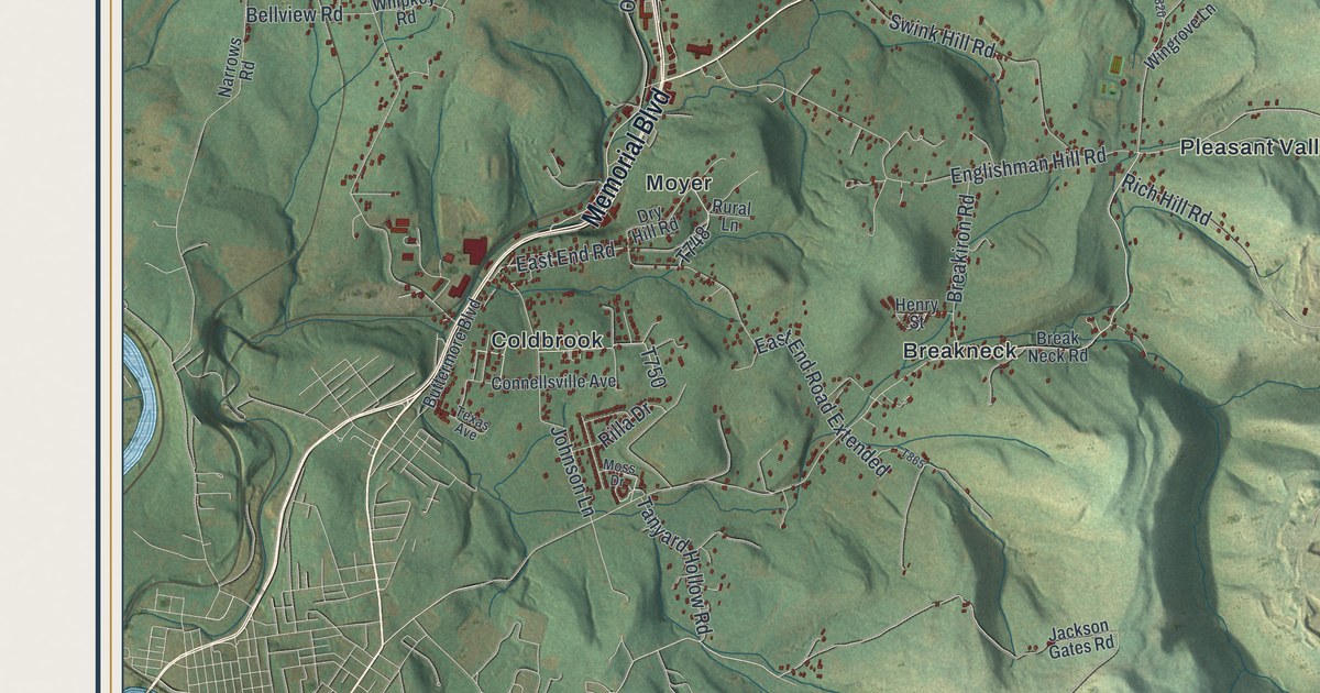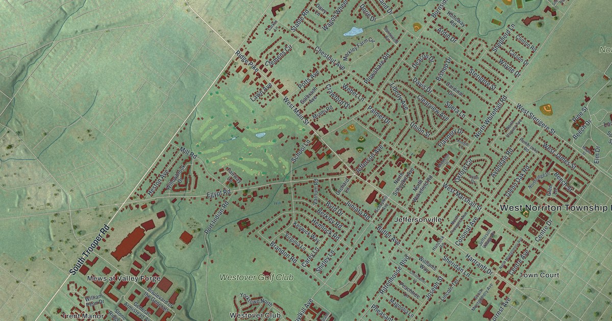
This beautifully detailed map of West Norriton, Pennsylvania was created in 2026 using aerial imagery combined with modern topographical, census, street and landmark data. It’s a one-of-a-kind view of West Norriton that combines accurate data with a vintage aesthetic. The map shows every building in its true location, many of the roads carry their names, and the shaded topographic relief shows the shape of the land.
Explore an aerial view of West Norriton, Pennsylvania
On the map you’ll find West Norriton Township Hall, Betzwood, Montgomery Cemetery, Norristown Farm Park, Jeffersonville, Mews at Valley Forge, Norrington Knoll, Trent Manor, Westover Club, and Westover Golf Club, along with Town Court, South Trooper Road, and more. If you look closely you can even find your house accurately drawn in its correct location. Zoom in on the preview to look for yours.
Did you know this piece of West Norriton, Pennsylvania history?
From the PA Historical and Museum Commission: "David Rittenhouse, colonial scientist, astronomer, and instrument maker, lived on a nearby farm, where he built a telescope, said to be first made in America, and observed the transit of Venus in 1769."
Take a closer look at the West Norriton map
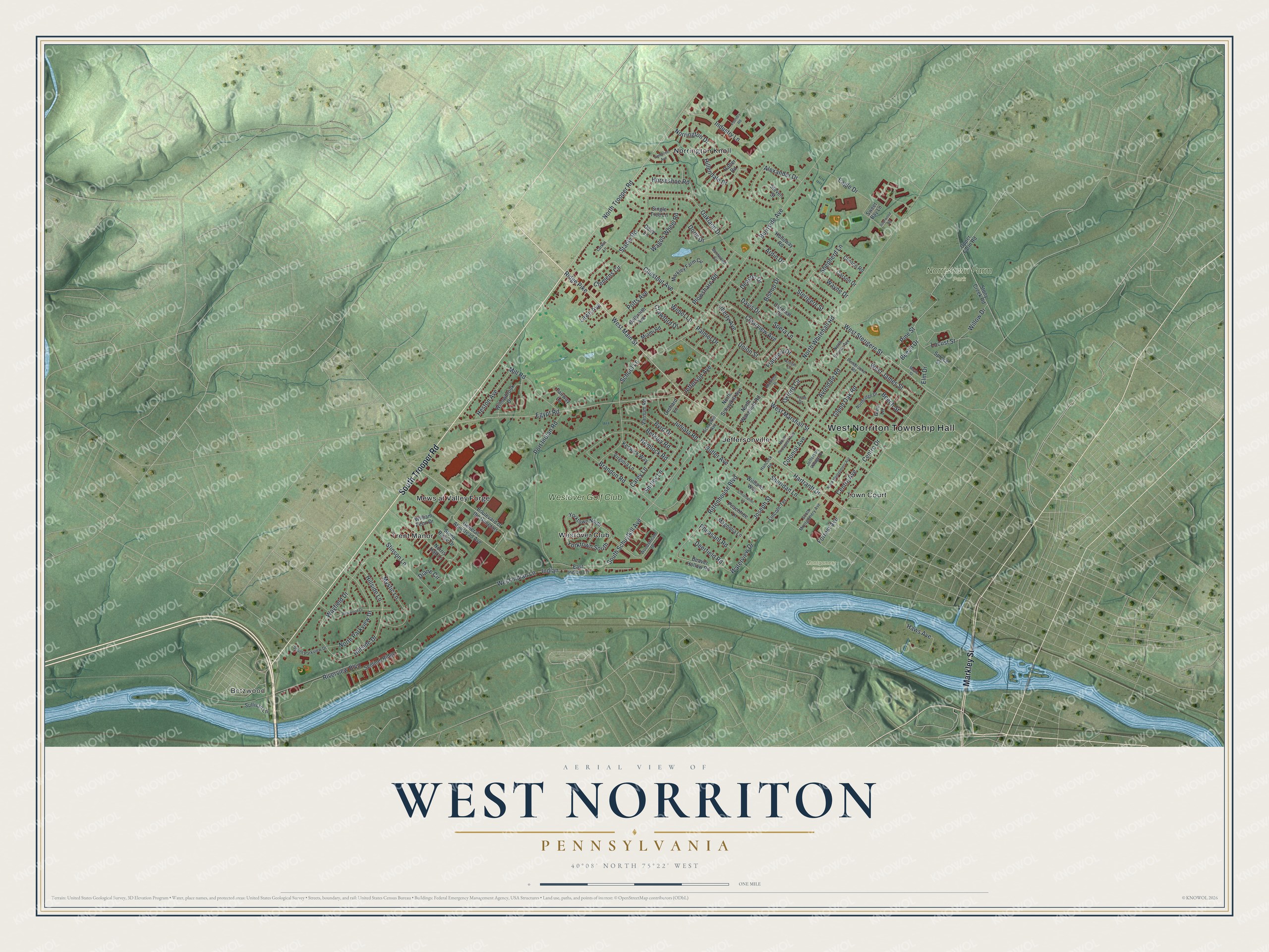
Street and place names on the West Norriton, Pennsylvania map
These names are printed on the map of West Norriton, Pennsylvania.
Places: West Norriton Township Hall, Betzwood, Montgomery Cemetery, Norristown Farm Park, Jeffersonville, Mews at Valley Forge, Norrington Knoll, Town Court, Trent Manor, Westover Club and Westover Golf Club.
Streets and roads: South Trooper Road, Markley Street, North Trooper Road, Ridge Pike, Norrington Drive, Beech Drive, West Main Street, Egypt Road, Wayfield Drive, North Whitehall Road, Riverview Boulevard, Burnside Avenue.
More street names, A to Z
Alexander Drive, Ardin Drive, Avondale Road, Barnwood Circle, Beaver Hollow Road, Beech Street, Berkley Road, Betzwood Drive, Bishop Drive, Boulevard of the Generals, Brandon Road, Butler Avenue, Byrd Drive, Cardinal Circle, Carey Lane, Carson Drive, Centre Avenue, Centre Drive, Chestnut Avenue, Christopher Lane, Clearview Avenue, Clemens Circle, Clinton Road, Colonial Avenue, Crawford Drive, Dairy Lane, Davis Drive, Deacon Drive, Deerfield Road, Diane Circle, Dorie Drive, Eagle Drive, East Indian Lane, Elm Drive, Fairway Lane, Fieldcrest Avenue, Flannery Drive, Forrest Avenue, Foundry Road, Galbraith Avenue, General Armistead Avenue, Glen Lane, Glenn Oak Road, Hancock Road, Hartranft Drive, Haws Avenue, Hemlock Road, Heston Avenue, Hillendale Drive, Hillside Drive, Hillside Lane, Holloway Road, Horseshoe Road, Indian, Industry Lane, Jefferson Avenue, Jefferson Village Drive, Joseph Street, Juniata Road, Keswick Way, Koegel Lane, Larkin Lane, Lawn Avenue, Liberty Avenue, Lincoln Terrace, Locust Street, Lynn Drive, Magnolia Lane, Maple Street, Markley Farm Circle, Miami Road, Middleton Place, Mill Road, Mystic Lane, Norris Hall Lane, North Hoover Avenue, North Montgomery Avenue, North Parkview Drive, North Prospect Avenue, Northridge Drive, North Schuylkill Avenue, North Wakefield Road, Oakland Drive, Orchard Lane, Oxford Circle, Palmer Drive, Peachtree Lane, Pembrooke Road, Pheasant Road, Pine Street, Plowshare Road, Port Indian Road, Potts Avenue, Rafter Road, Rittenhouse Boulevard, School Lane, Schuylkill Avenue, Sentinel Ridge, Shepherd Lane, Sheridan Lane, Shirley Lane, Single Tree Lane, Sourwood Road, South Montgomery Avenue, South Parkview Drive, South Schuylkill Avenue, Spera Lane, Spruce Street, Stable Road, Sterigere Street, Steven Street, Stinson Lane, Stone Ridge Drive, Stony Creek Road, Sullivan Lane, Sweet Bay Lane, Union Street, Upper Farm Road, Varnum Road, Virginia Lane, Wagon Wheel Road, Waterview Drive, Wayne Drive, Weber Lane, West Indian Lane, West James Street, West Marshall Street, West Sterigere Street, William Penn Drive, Williams Way, Willowbrook Drive, Willow Drive, Woodstream Drive, Yorktown North, Yorktown South.
See the West Norriton, Pennsylvania map on a wall
The West Norriton map as an 18 x 24 inch print in a black frame.

This beautifully detailed map of West Norriton makes an attractive addition to your office, library, or den, and it can even be used to teach children the geography and history of the area. It also makes a great gift for someone who left West Norriton and still calls it home. When you’re done exploring, click here to get your copy of the West Norriton map.