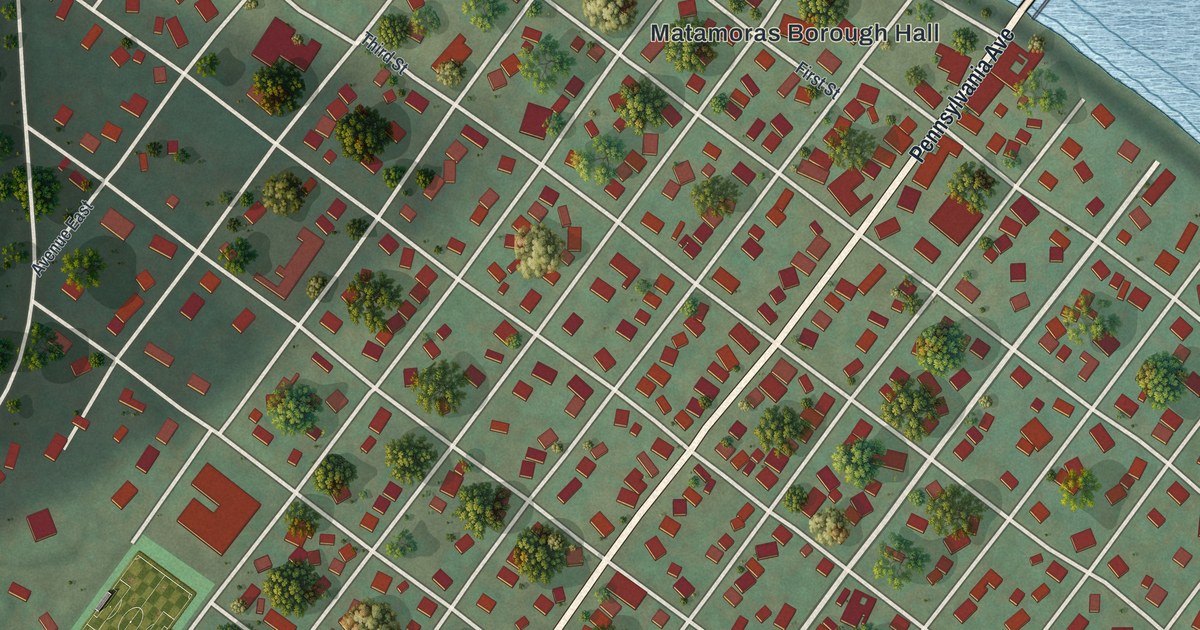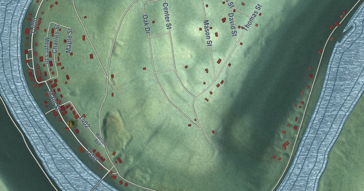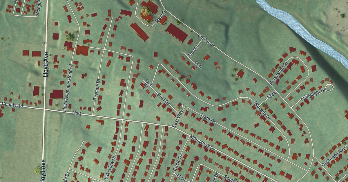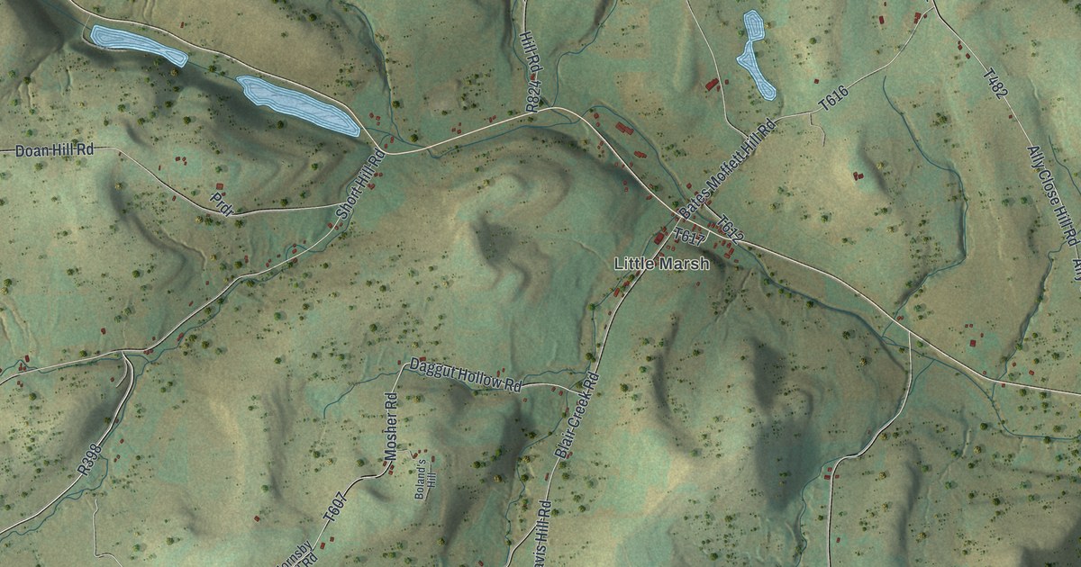
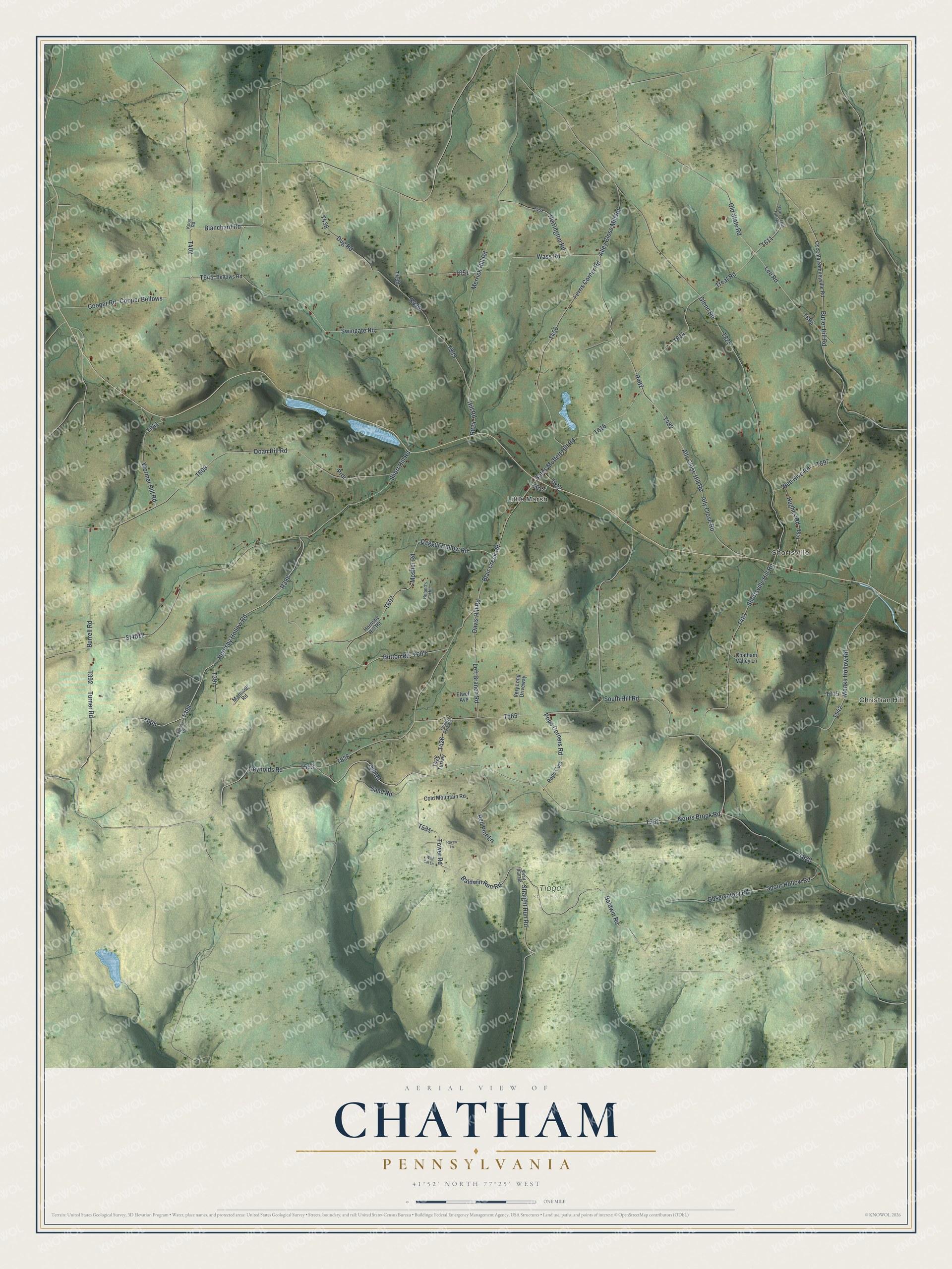
This beautifully detailed map of Chatham, Pennsylvania was created in 2026 using aerial imagery combined with modern topographical, census, street and landmark data. It’s a one-of-a-kind view of Chatham that combines accurate data with a vintage aesthetic. The map shows every building in its true location, many of the roads carry their names, and the shaded topographic relief shows the shape of the land.
Explore an aerial view of Chatham, Pennsylvania
On the map you’ll find Christian Hill, Shortsville, Little Marsh, and Tioga State Forest, along with Reynolds Road, Turner Road, Norris Brook Road, Burrell Road, and more. If you look closely you can even find your house accurately drawn in its correct location. Zoom in on the preview to look for yours.
Did you know this piece of Chatham, Pennsylvania history?
From the 1897 History of Tioga County, Pennsylvania: "William Wass, a native of Sussex county, New Jersey, and a soldier of the War of 1812, located in Deerfield township in 1817. His son, David Wass, now a resident of Knoxville, says that in 1818 he removed to Chatham township and settled about two miles west of East Chatham."
Take a closer look at the Chatham map
Street and place names on the Chatham, Pennsylvania map
These names are printed on the map of Chatham, Pennsylvania.
Places: Christian Hill, Shortsville, Little Marsh and Tioga State Forest.
Streets and roads: Reynolds Road, Turner Road, Norris Brook Road, Burrell Road, Hornsby Hollow Road, Wormer Hill Road, Baldwin Road, Old Road, Cooper Bellows, Merrick Hill Road, Butler Hill Road, Old State Road.
More street names, A to Z
Alley Close Mill Road, Ally Close Hill Road, Ally Close Road, Baldwin Run Road, Bates Moffett Hill Road, Bates Treat Hill Road, Bee Hive Road, Bellows Road, Blair Creek Road, Blanchard Road, Boland's Hill, Button Road, Chatham Valley Lane, Cold Mountain Road, Cooper Road, Daggut Hollow Road, Davis Hill Road, Doan Hill Road, Dug Road, Elwell Avenue, Ferris Corner Road, Glenn Road, Herrington Road, Hill Road, Hornsby Drive, Hornsby Hill Road, Hughes Road, Knox Road, Lee Road, Left Branch Road, Marmour Road, Monks Hollow Road, Mosher Road, Observatory Road, Osceola-Kenneyville Road, Pope Corners Road, Pope Cors, Prdr, Raven Lane, Red Pine Lane, Sand Road, Short Hill Road, Shortsville Hill Road, South Hill Road, Spoor Hollow Road, St4012, Straight Run Road, Strait Run Road, Swingate Road, Tower Road, Treat Road, Turkey Path Road, Very Long Driveway, Wass Road, Wild Cat Lane.
See the Chatham, Pennsylvania map on a wall
The Chatham map as an 18 x 24 inch print in a black frame.

This beautifully detailed map of Chatham makes an attractive addition to your office, library, or den, and it can even be used to teach children the geography and history of the area. It also makes a great gift for someone who left Chatham and still calls it home. When you’re done exploring, click here to get your copy of the Chatham map.