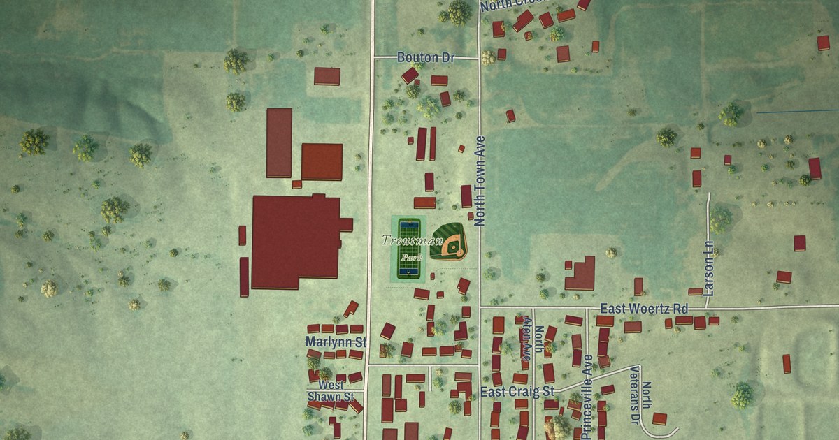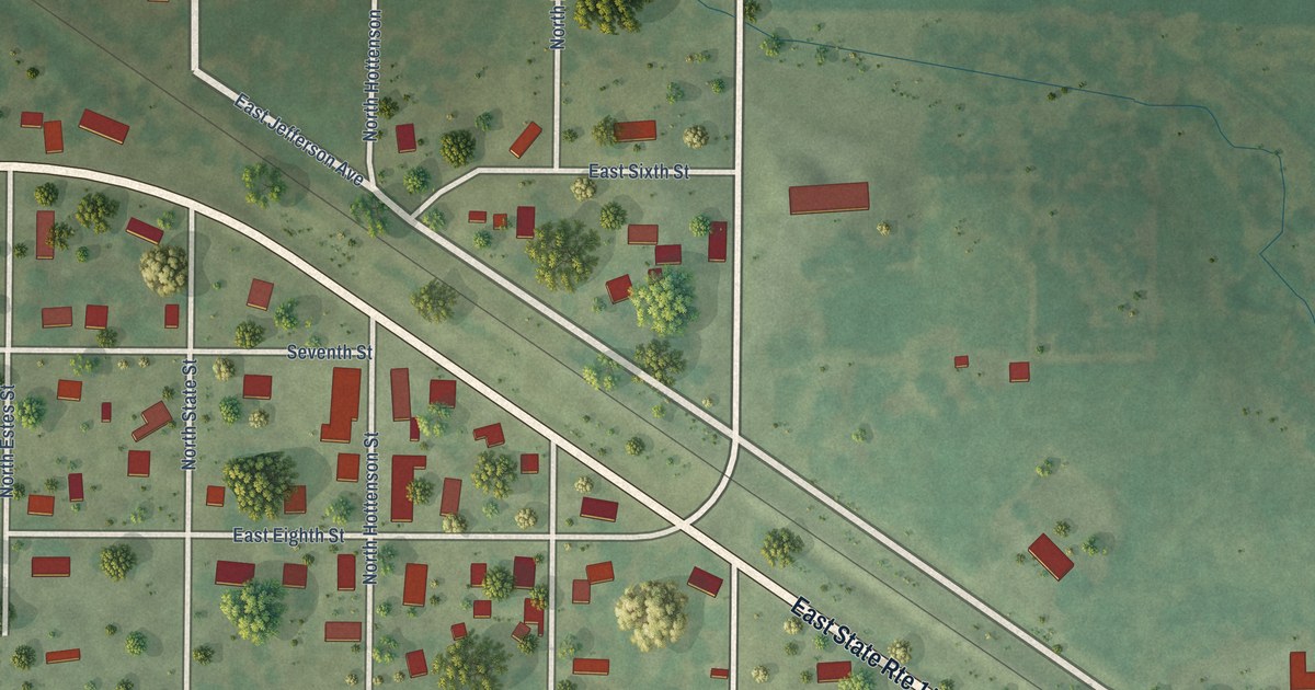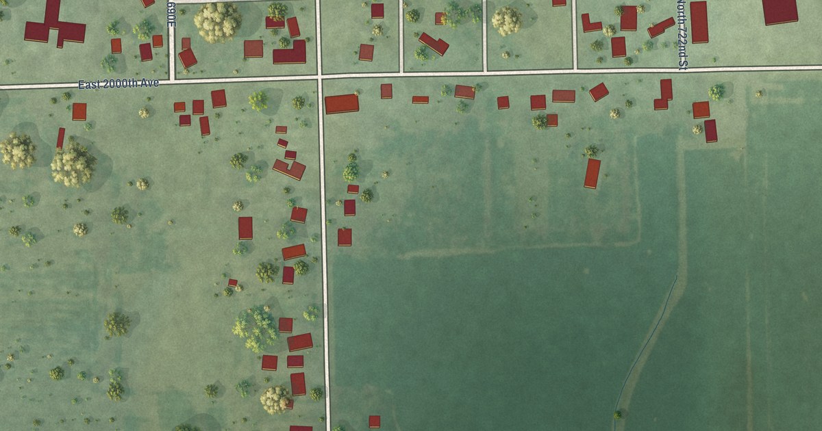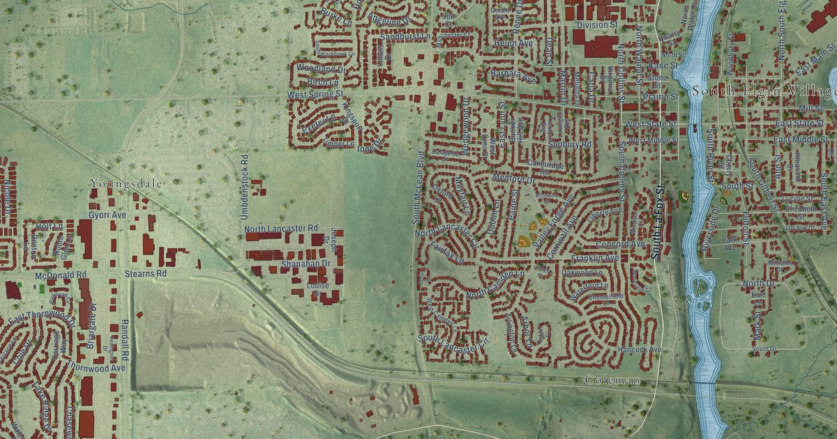
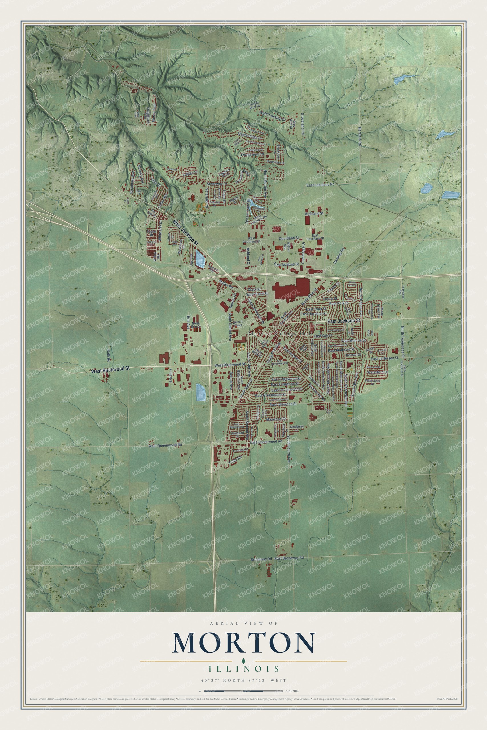
This beautifully detailed map of Morton, Illinois was created in 2026 using aerial imagery combined with modern topographical, census, street and landmark data. It’s a one-of-a-kind view of Morton that combines accurate data with a vintage aesthetic. The map shows every building in its true location, many of the roads carry their names, and the shaded topographic relief shows the shape of the land.
Explore an aerial view of Morton, Illinois
On the map you’ll find Morton Village Hall and Westwood Park, along with West Birchwood Street, West Jackson Street, East Jackson Street, Harding Road, East Ashland Street, Detroit Avenue, North Morton Avenue, South Detroit Avenue, South Fourth Avenue, East Idlewood Street, and more. If you look closely you can even find your house accurately drawn in its correct location. Zoom in on the preview to look for yours.
Did you know this piece of Morton, Illinois history?
From the Historical Marker Database: "Morton Pottery was founded in 1922 by the sons of Andrew Rapp Sr.: Andrew Jr., Henry, William, Samuel, Solomon, and Nathan. The company produced many unique kitchenware, utilitarian and decorative ceramic items including ashtrays for Everett Dirksen, elephants for Republican candidates and a special donkey for Joe Kennedy (brother of JFK)."
Take a closer look at the Morton map
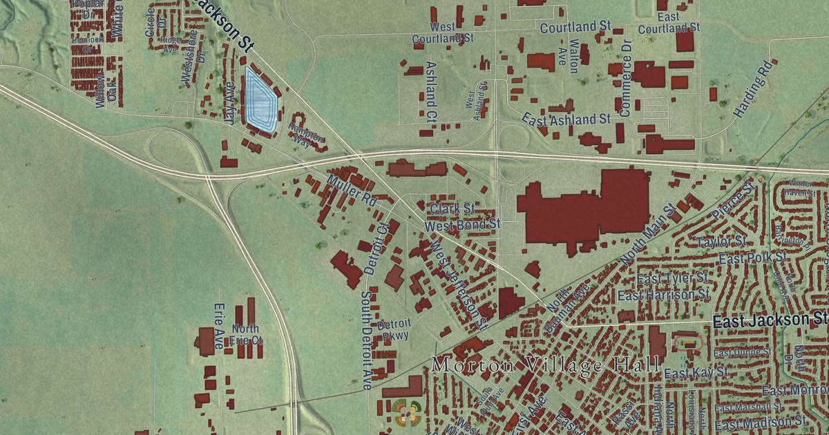
Street and place names on the Morton, Illinois map
These names are printed on the map of Morton, Illinois.
Places: Morton Village Hall and Westwood Park.
Streets and roads: West Birchwood Street, West Jackson Street, East Jackson Street, Harding Road, East Ashland Street, Detroit Avenue, North Morton Avenue, South Detroit Avenue, South Fourth Avenue, East Idlewood Street, Detroit Court, Topaz Drive.
More street names, A to Z
Ashland Court, Barrington Place, Beverly Avenue, Blackberry Lane, Brentwood Road, Broadway Road, Cedar Avenue, Circle Drive, Clark Street, Commerce Drive, Copperfield Drive, Coral Drive, Courtland Street, Deerfield Drive, Detroit Parkway, Diamond Point, East Adams Street, East Birchwood Street, East Broadway Road, East Courtland Street, East Dunne Street, East Edgewood Street, East Fernwood Street, East Forestwood Street, East Greenwood Street, East Harrison Street, East Hazelwood Street, East Jefferson Street, East Kay Street, East Lakeland Road, East Madison Street, East Marshall Street, East Maywood Street, East Monroe Street, East Polk Street, East Queenwood Road, East Tyler Street, Erie Avenue, Flint Avenue, Forestview Road, Garnet Drive, Greenleaf Court, Grey Wolf Court, Groveland Road, Hampton Way, Hemlock Drive, Herstein Road, Hickory Ridge Drive, Highland Street, Hyde Park Drive, Indigo Drive, Jasper Drive, Jay Avenue, Johnson Street, Linden Street, Locust Ridge Court, Lotus Drive, Maple Ridge Drive, Maywood Street, Mossy Trail, Muller Road, Newberry Court, North Bauman Avenue, North Drive, North Erie Court, North Indiana Avenue, North Louisiana Avenue, North Main Street, North Ohio Avenue, North Oregon Avenue, Northshore Drive, North Tennessee Street, Oak Ridge Point, Oak Street, Oakwood Street, Onyx Drive, Ossami Lake Drive, Pennsylvania Avenue, Pierce Street, Pin Oak Drive, Poplar Drive, Prairie Trce, Rassi Avenue, Rhode Island Avenue, Ridge Avenue, Robin Avenue, Roth Road, Sapphire Point, Shaggybark Trail, Shiloh Street, South Baltimore Avenue, South First Avenue, South Glen Avenue, South Kansas Avenue, South Lee Avenue, South Louisiana Avenue, South Main Street, South Minnesota Avenue, South Mississippi Avenue, South Missouri Avenue, South Montana Avenue, South Nebraska Avenue, South Ohio Avenue, South Plum Avenue, South Second Avenue, Southshore Drive, South Tennessee Street, Stoneway Drive, Sunset Court, Sunset Road, Sycamore Avenue, Tamarack Avenue, Taylor Street, Tennessee Avenue, Timberlane Drive, Timber Wolf Drive, Tuscany Court, Veterans Road, Victor Street, Villa Trail, Walton Avenue, Warwick Circle, Waterford Drive, West Ashland Street, West Bond Street, West Courtland Street, West Jefferson Street, West Lakeland Road, West Queenwood Road, Westshore Drive, West Wick Street, Wheatfield Drive, Whetstone Drive, White Oak Drive, Willow Oak, Winter Haven Street, Wolf Crossing Drive, Yordy Road, York Avenue.
See the Morton, Illinois map on a wall
The Morton map as an 18 x 24 inch print in a black frame.

This beautifully detailed map of Morton makes an attractive addition to your office, library, or den, and it can even be used to teach children the geography and history of the area. It also makes a great gift for someone who left Morton and still calls it home. When you’re done exploring, click here to get your copy of the Morton map.