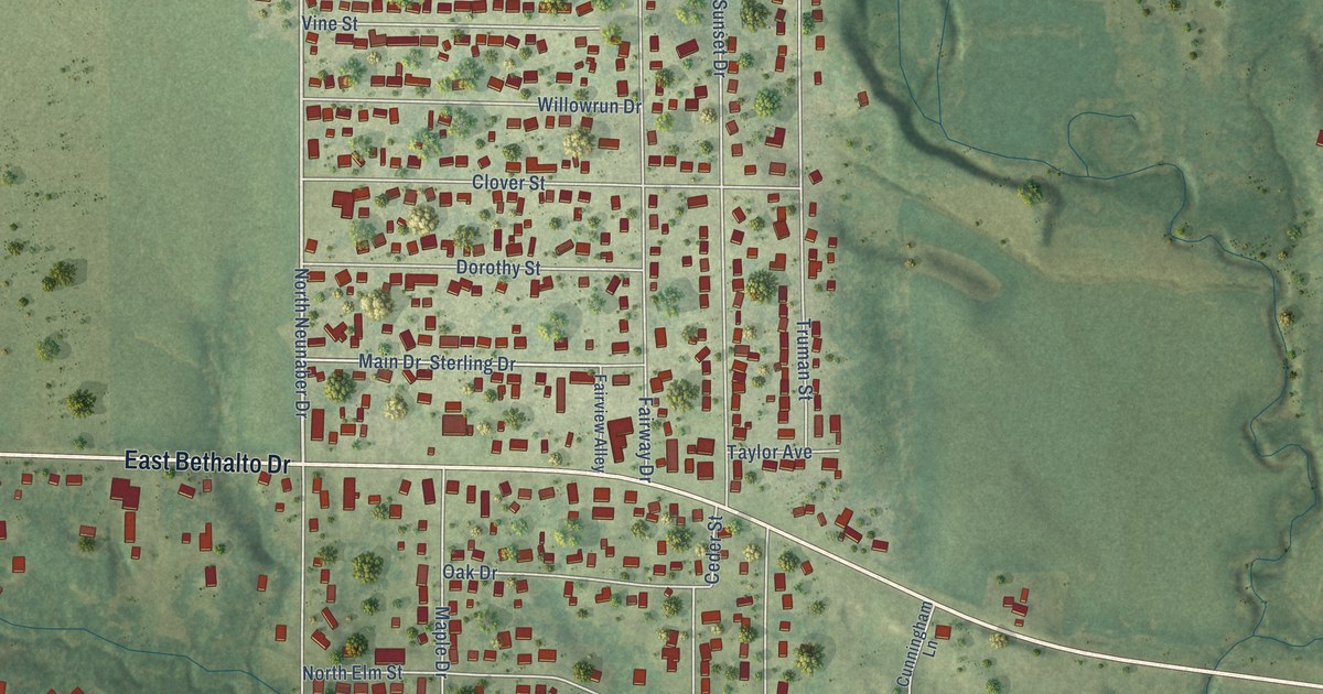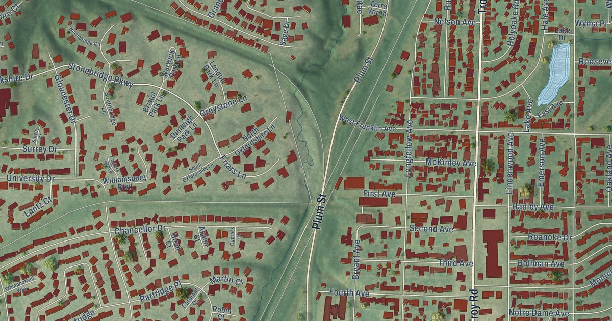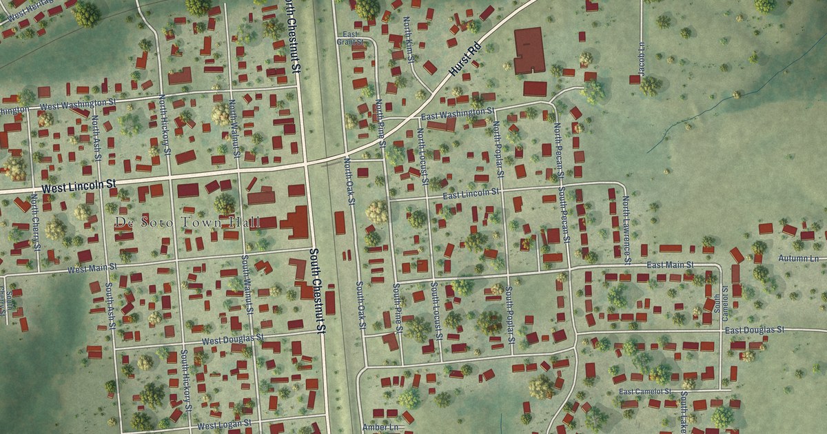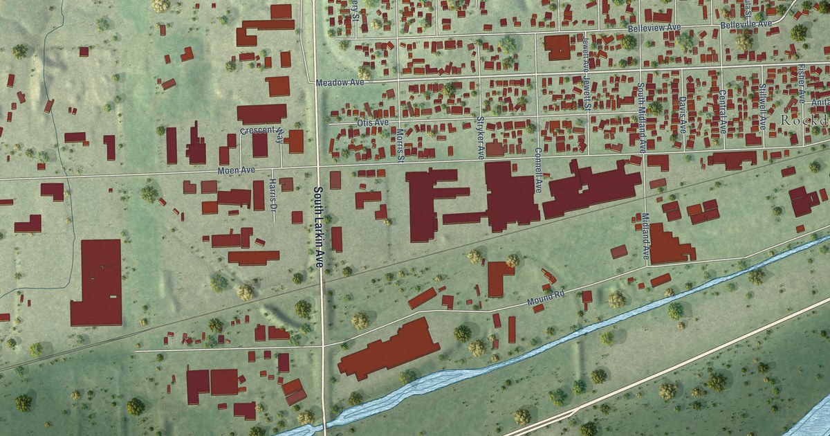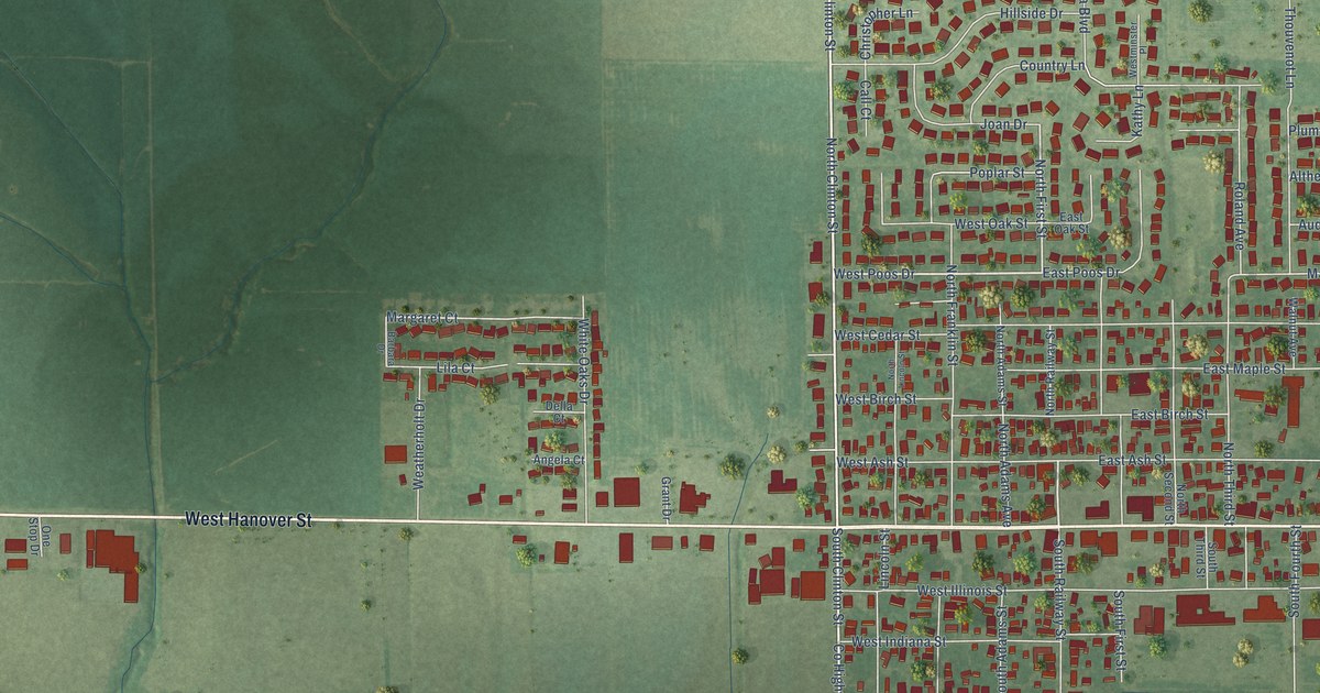
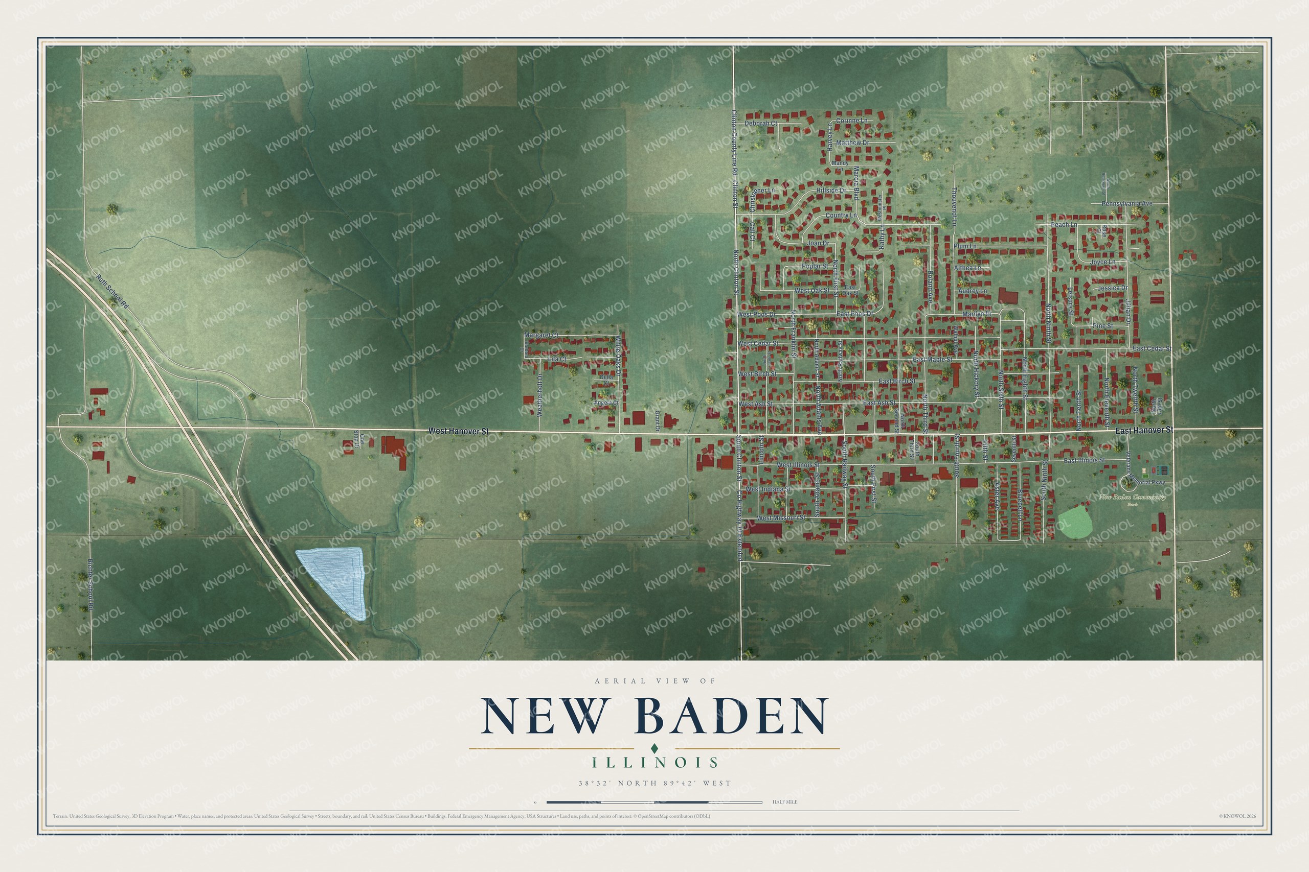
This beautifully detailed map of New Baden, Illinois was created in 2026 using aerial imagery combined with modern topographical, census, street and landmark data. It’s a one-of-a-kind view of New Baden that combines accurate data with a vintage aesthetic. The map shows every building in its true location, many of the roads carry their names, and the shaded topographic relief shows the shape of the land.
Explore an aerial view of New Baden, Illinois
On the map you’ll find New Baden Community Park, along with West Hanover Street, East Hanover Street, North Clinton Street, Clinton Street, West Poos Drive, County Highway 10 Extended, South Clinton Street, North First Street, Margaret Court, Marilyn Drive, Harvey Lane, and more. If you look closely you can even find your house accurately drawn in its correct location. Zoom in on the preview to look for yours.
Did you know this piece of New Baden, Illinois history?
New Baden was named for Baden, a historic region of Germany. It was founded in 1855 and stayed small until 1896, when a terrible tornado struck. Neighboring towns helped rebuild it. The new village was bigger and more modern. It thrived as the long depression ended.
Take a closer look at the New Baden map
Street and place names on the New Baden, Illinois map
These names are printed on the map of New Baden, Illinois.
Places: New Baden Community Park.
Streets and roads: West Hanover Street, East Hanover Street, North Clinton Street, Clinton Street, West Poos Drive, County Highway 10 Extended, South Clinton Street, North First Street, Margaret Court, Marilyn Drive, Harvey Lane, Ruth School Road.
More street names, A to Z
Althea Lane, Angela Court, Aster Avenue, Audrey Lane, Barbara Drive, Bluebell Lane, Call Court, Christopher Lane, Clinton County Line Road, Corinne Lane, Country Lane, Deborah Court, Della Court, East Ash Street, East Birch Street, East Cedar Street, East Illinois Street, East Maple Street, East Oak Street, East Poos Drive, Fifth Street, Grant Drive, Hillside Drive, Jessica Drive, Jillian Drive, Joan Drive, Joyce Lane, Kathy Lane, Leisure Street, Lila Court, Lincoln Street, Mandy Lane, Marcia Boulevard, Matthew Drive, North 13th Street, North Adams Avenue, North Adams Street, North Eighth Street, North Eleventh Street, North Franklin Street, North Hickory Street, North Lincoln Street, North Ninth Street, North Railway Street, North Roosevelt Street, North Second Street, North Sixth Street, North Tenth Street, North Third Street, North Twelfth Street, One Stop Drive, Peach Lane, Pennsylvania Avenue, Pine Street, Plum Lane, Poplar Street, Richter School Road, Roland Avenue, Rose Court, Seventh Street, South Adams Street, South First Street, South Fourth Street, South Ninth Street, South Railway Street, South Third Street, Thouvenot Lane, Veterans Memorial Parkway, Walnut Avenue, Weatherholt Drive, West Ash Street, West Birch Street, West Cedar Street, West Illinois Street, West Indiana Street, Westminster Place, West Missouri Street, West Oak Street, White Oaks Drive.
See the New Baden, Illinois map on a wall
The New Baden map as an 18 x 24 inch print in a black frame.

This beautifully detailed map of New Baden makes an attractive addition to your office, library, or den, and it can even be used to teach children the geography and history of the area. It also makes a great gift for anyone with New Baden roots. When you’re done exploring, click here to get your copy of the New Baden map.