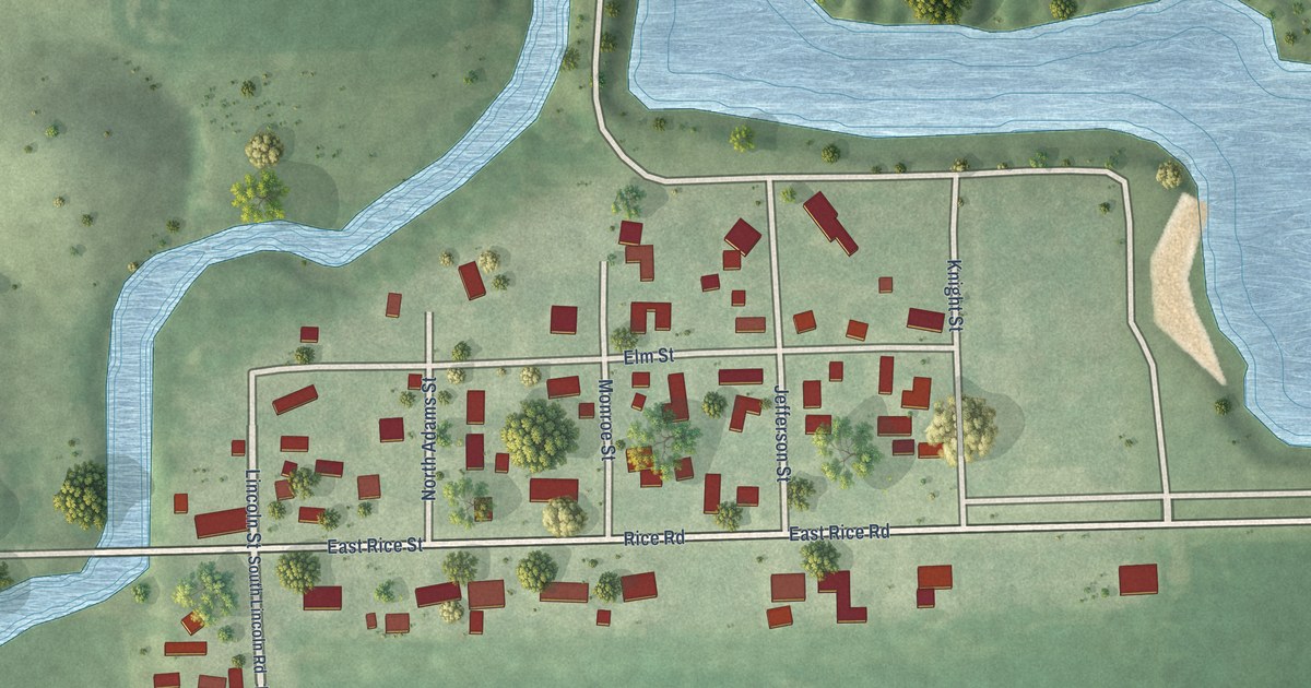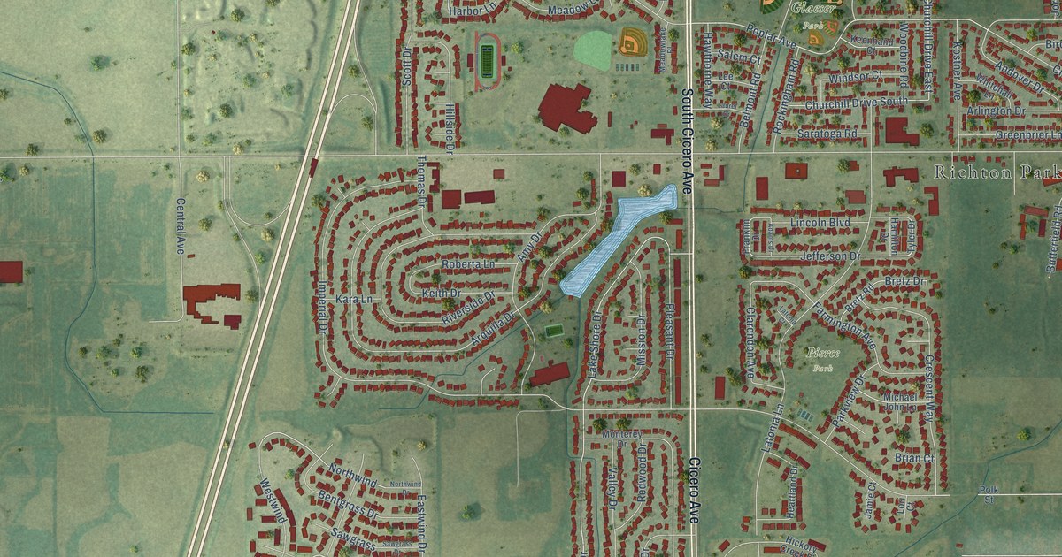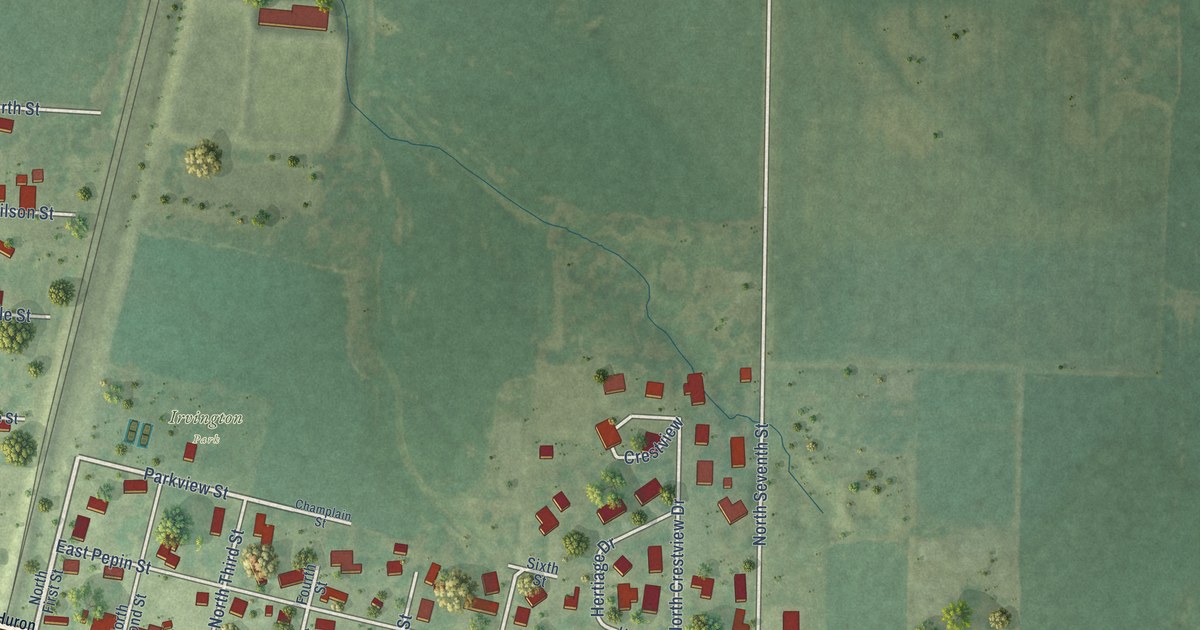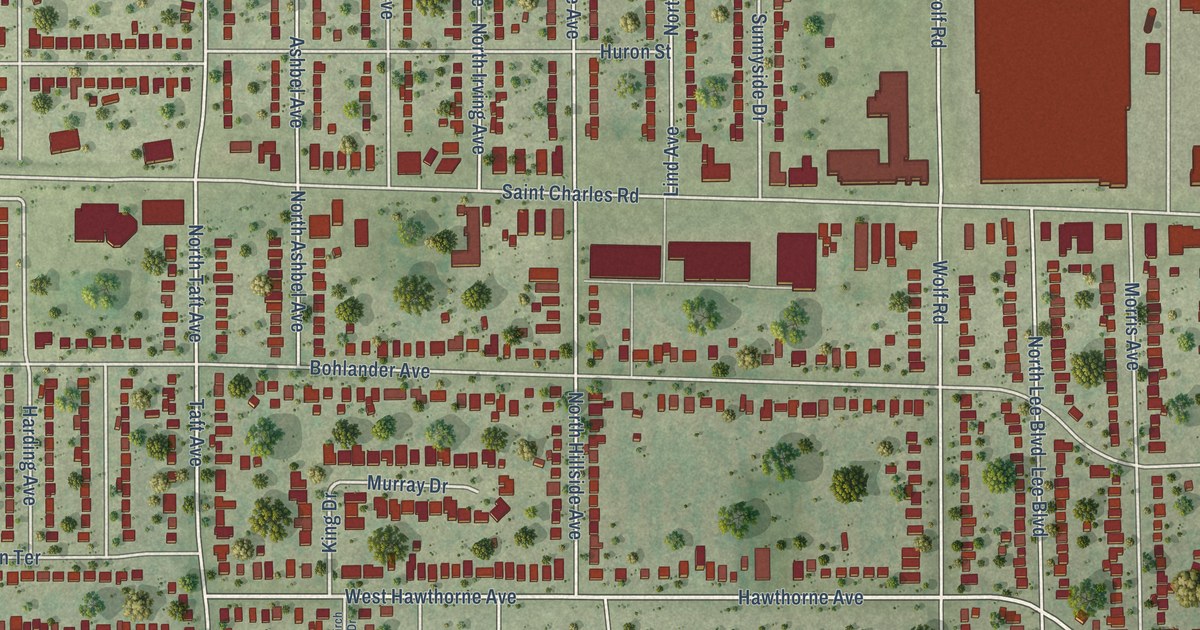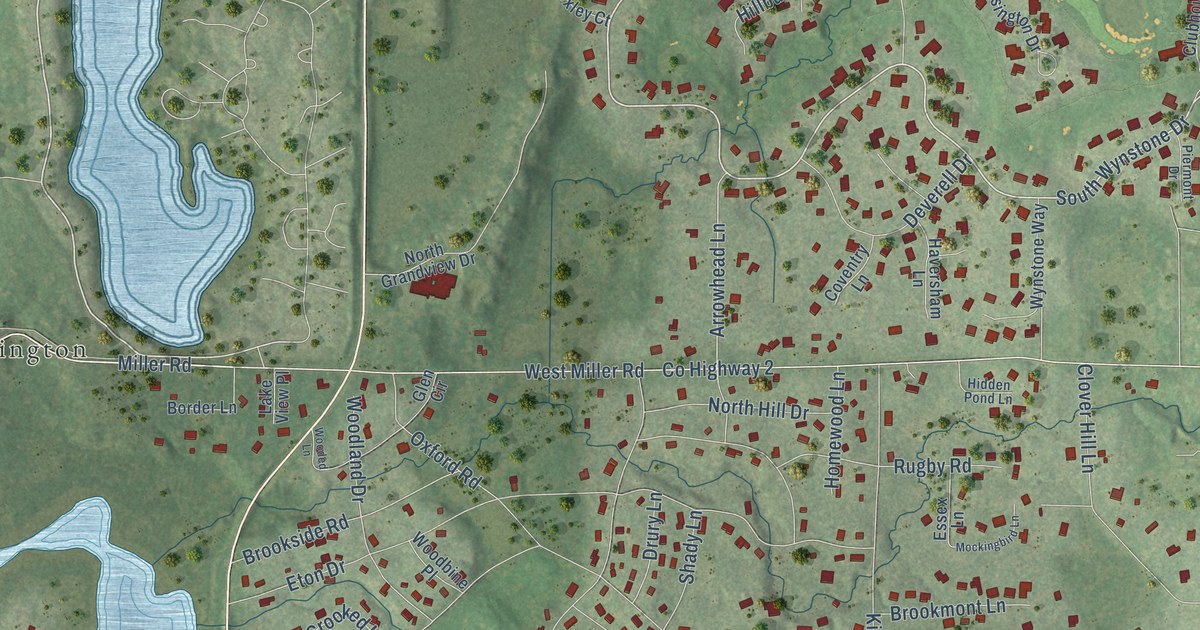
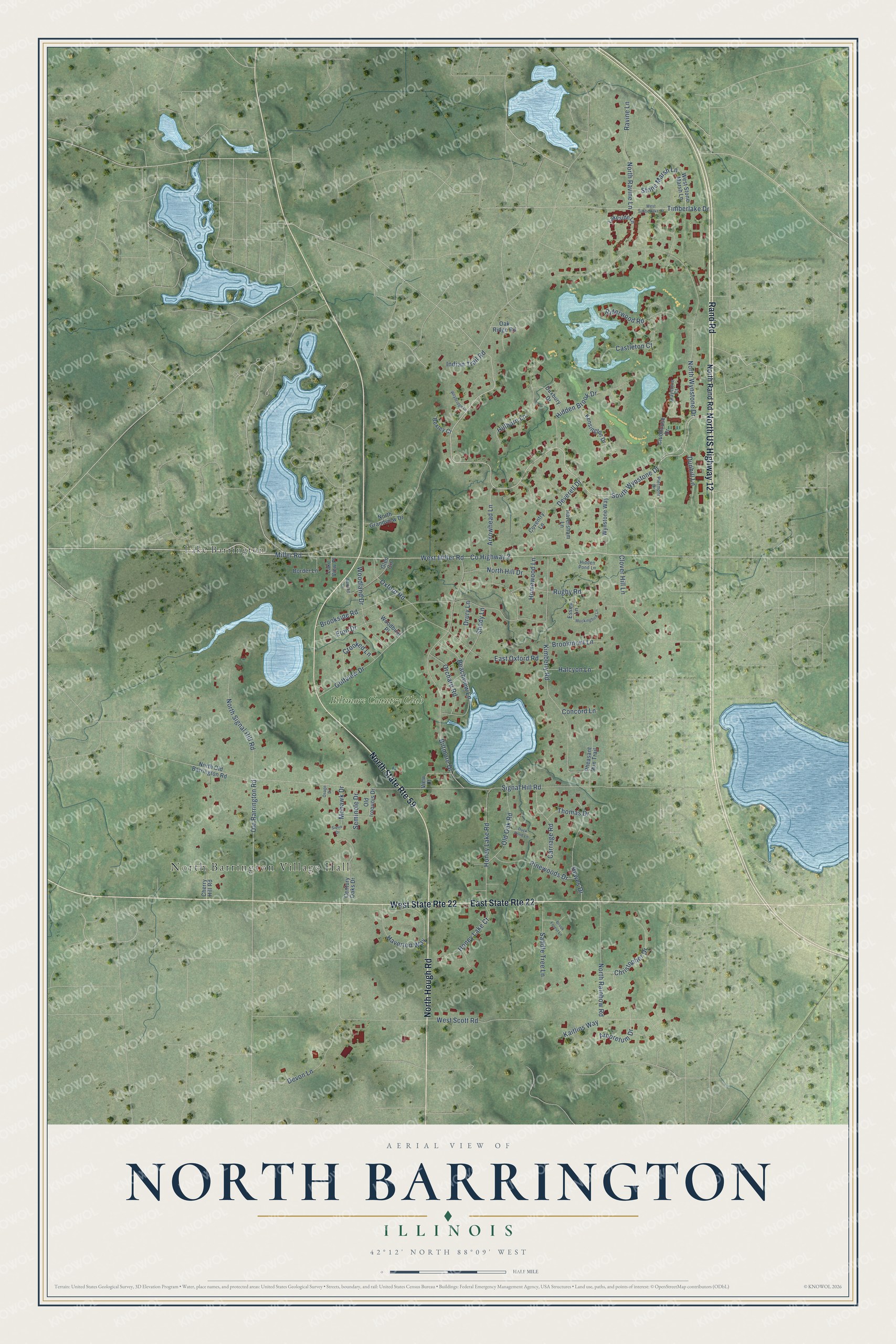
This beautifully detailed map of North Barrington, Illinois was created in 2026 using aerial imagery combined with modern topographical, census, street and landmark data. It's a modern aerial view of North Barrington in Lake County, Illinois, that combines modern data with a vintage aesthetic. The roads feature printed names, and if you look closely you can find your exact house accurately shown in its correct location.
Explore an aerial view of North Barrington, Illinois
On this map you'll find North Barrington Village Hall, Lake Barrington, Biltmore Country Club, North US Highway 12, Rand Road, North Hough Road, South Wynstone Drive, North Wynstone Drive, Miller Road, Old Barrington Road, Co Highway 2, Arrowhead Lane, and more. Each red shape is a building, so zoom in on the preview and look for yours.
North Barrington is a village in Lake County. The Census Bureau counted 3,171 people here in 2020. The map prints the town name in its title panel, with the coordinates below it.
Take a closer look at the North Barrington map
Names on this map
These names are printed on this map.
Places: North Barrington Village Hall, Lake Barrington and Biltmore Country Club.
Streets and roads: North US Highway 12, Rand Road, North State Route 59, East State Route 22, West State Route 22, North Hough Road, South Wynstone Drive, North Wynstone Drive, Miller Road, Old Barrington Road, County Highway 2, Arrowhead Lane.
More street names, A to Z
Arboretum Drive, Beachview Lane, Bexley Court, Biltmore Drive, Border Lane, Brook Forest Lane, Brookmont Lane, Brookside Road, Carriage Road, Castleton Court, Century Oaks Drive, Cherry Hill Road, Christopher Drive, Clover Hill Lane, Clubhouse Drive, Concord Lane, Coventry Lane, Crooked Lane, Deverell Drive, Devon Lane, Drury Lane, Duck Pond Lane, Dunhill Lane, Duxbury Drive, East Oxford Road, Essex Lane, Eton Drive, Glen Circle, Golfview Drive, Graystone Court, Halcyon Lane, Haversham Lane, Haverton Way, Hewes Drive, Hidden Brook Drive, Hidden Pond Lane, Hillburn Lane, Homewood Lane, Honey Lake Court, Honey Lake Road, Indian Trail Road, Kaitlins Way, Kensington Drive, Kimberly Road, Lakeside Lane, Lake View Place, Mockingbird Lane, Mohawk Drive, North Grandview Drive, North Hill Drive, North Old Barrington Road, North Rainbow Road, North Rand Road, North Ravine Lane, North Signal Hill Road, Oak Ridge Road, Old Iroquois Drive, Old Oak Road, Orchard Road, Osage Drive, Oxford Road, Pheasant Run Trail, Piermont Drive, Pinewoods Drive, Ravine Lane, Riderwood Road, Rugby Road, Saddle Tree Lane, Seminole Drive, Shady Lane, Signal Hill Road, Sioux Drive, Stone Marsh Lane, Thomas Drive, Timberlake Drive, View Court, West Miller Road, West Scott Road, West Stone Marsh Lane, West Timberlake Drive, Weybridge Lane, Woodbine Place, Wooded Lane, Woodland Drive, Wynstone Way.
Created by KNOWOL in 2026. The buildings are small red shapes, the roads carry their printed names, and shaded relief shows the shape of the land. The title panel reads "AERIAL VIEW OF NORTH BARRINGTON ILLINOIS" with 42°12' NORTH 88°09' WEST.
It looks right in a kitchen, an office or a den, and it's a gift for anyone who grew up in North Barrington or moved away. Open the preview and find your street. See sizes and frames for the North Barrington map.