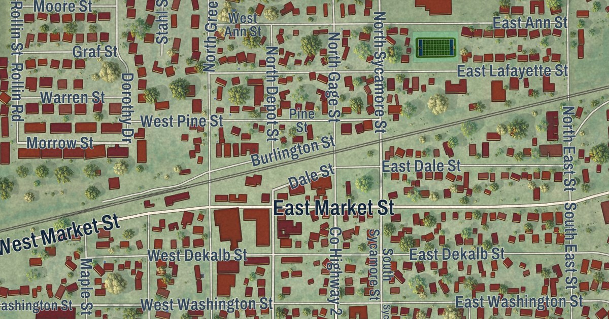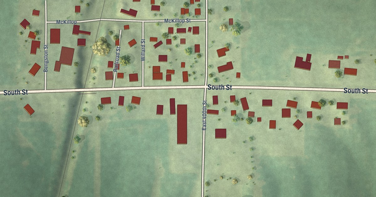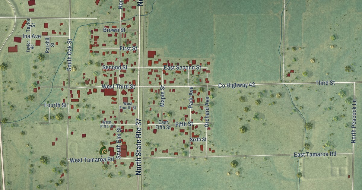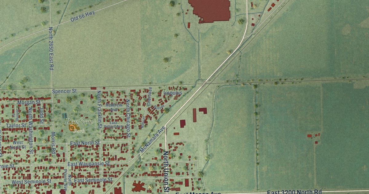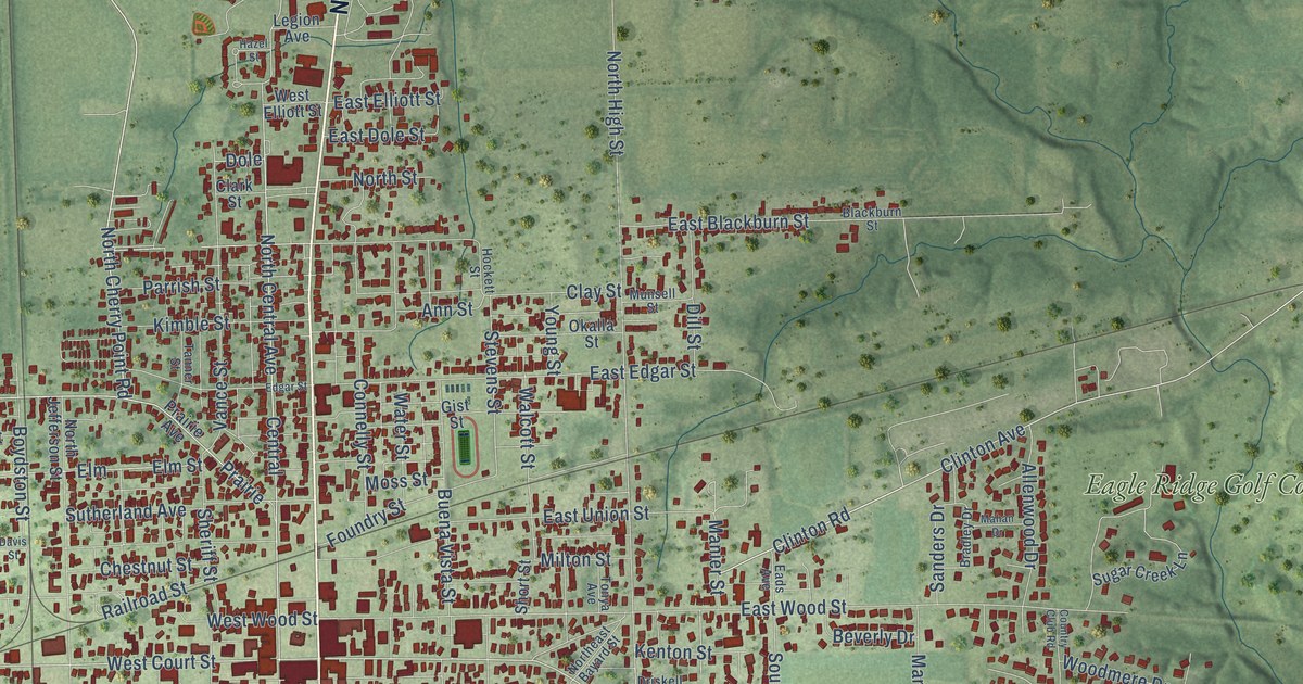
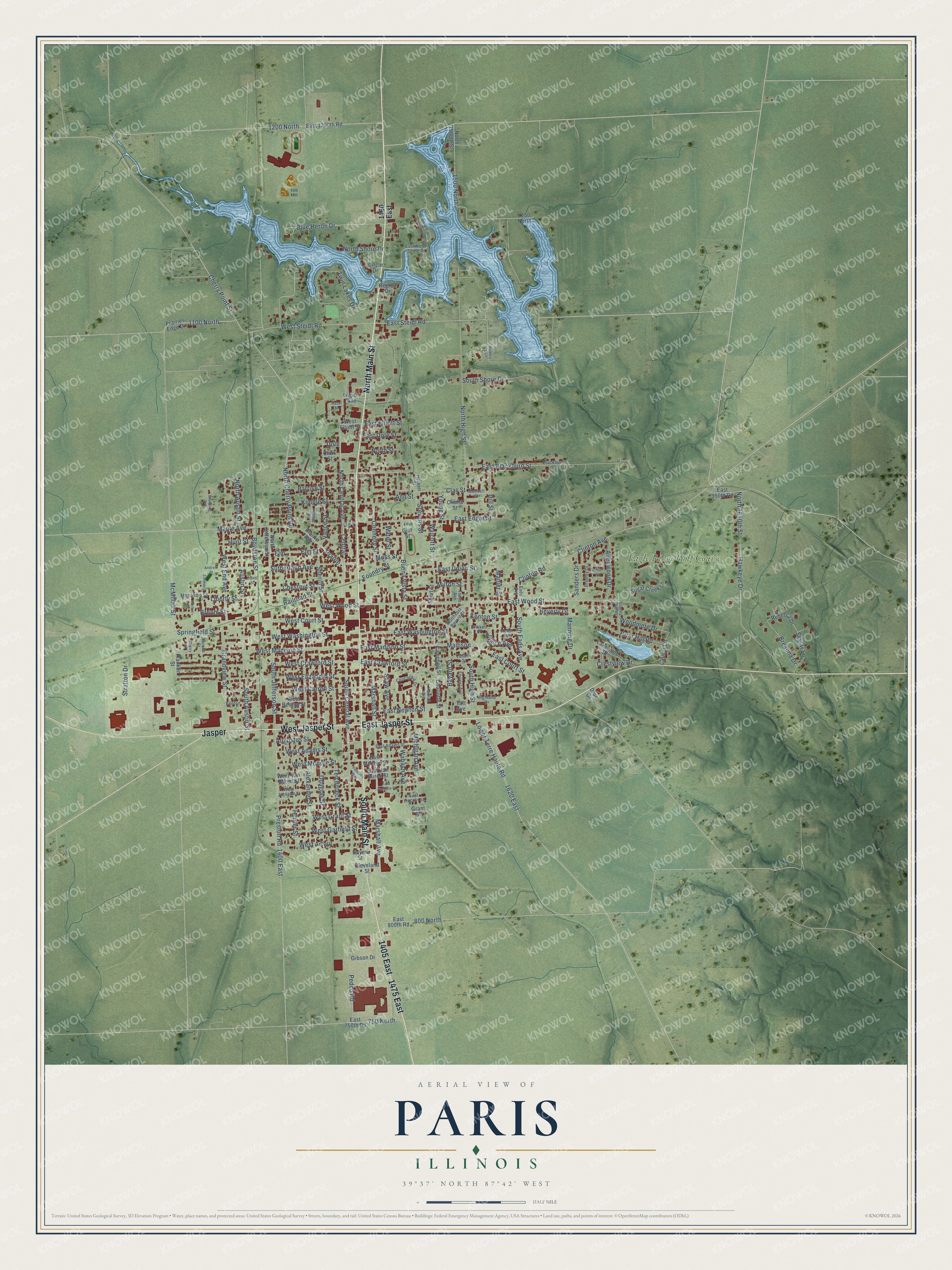
This beautifully detailed map of Paris, Illinois was created in 2026 using aerial imagery combined with modern topographical, census, street and landmark data. It’s a one-of-a-kind view of Paris that combines accurate data with a vintage aesthetic. The map shows every building in its true location, many of the roads carry their names, and the shaded topographic relief shows the shape of the land.
Explore an aerial view of Paris, Illinois
On the map you’ll find Eagle Ridge Golf Course, Jasper, 1405 East, 1475 East, and 1200 North, along with North Main Street, East Jasper Street, West Jasper Street, South Main Street, North Cherry Point Road, East Court Street, Clinton Avenue, and more. If you look closely you can even find your house accurately drawn in its correct location. Zoom in on the preview to look for yours.
Did you know this piece of Paris, Illinois history?
From the 1879 History of Edgar County, Illinois: "The first house of worship (aside from the settlers* cabin) in Paris, was the old Court House that stood on the south side of the public square."
Take a closer look at the Paris map
Street and place names on the Paris, Illinois map
These names are printed on the map of Paris, Illinois.
Places: Eagle Ridge Golf Course.
Streets and roads: North Main Street, East Jasper Street, West Jasper Street, Jasper, South Main Street, 1405 East, 1475 East, 1200 North, North Cherry Point Road, East Court Street, Clinton Avenue, West Steidl Road.
More street names, A to Z
750 North, 800 North, 1100 North, 1150 North, 1400 East, 1460 East, 1500 North, 1620 East, Alexander Street, Allenwood Drive, Andrew Street, Ann Street, Augustus Street, Austin Street, Bayard Street, Benton, Beverly Drive, Blackburn Street, Blue Heron Drive, Boydston Street, Bradley Drive, Breanna Drive, Briar Hill Road, Broom Street, Browning Avenue, Buena Vista Street, Campbell Street, Central, Charlotte Street, Cherry Point Street, Cherry Street, Chestnut Street, Circle Drive, Clark Street, Clay Street, Cleveland Street, Clinton Road, Concordia Drive, Connelly Street, Country Club Road, Crestview Drive, Davis Street, Dill Street, Dole, Douglas Street, Driskell Street, Drue Drive, Eads Avenue, East 750th Road, East 800th Road, East 950th Road, East 1200th Road, East Adams Street, East Blackburn Street, East Crawford Street, East Dole Street, East Edgar Street, East Elliott Street, East Jackson Street, East Lincoln Street, East Madison Street, East Monroe Street, East Newton Street, East North Shore Drive, East Steidl Road, East Union Street, East Van Buren Street, East Washington Street, East Wood Street, Edgar Street, Elm, Elm Street, Forrest Avenue, Foundry Street, Franklin Street, Gibson Drive, Gist Street, Grandview Street, Grant Street, Hannah Avenue, Harrison Street, Hawkeye Drive, Hayes Street, Hazel Street, Helen Avenue, Hickory Drive, Highland Drive, Hockett Street, Hunter Street, Hunt Street, Janice Avenue, Kenton Street, Kimble Street, Lake Side Terrace Drive, Lakewood Drive, Lasalle Street, Laurel Lane, Legion Avenue, Liberty Street, Lower Terre Haute Road, Madison, Mahan Drive, Manier Street, Manning Drive, Maple Avenue, Marshall Avenue, Marshall Street, McMillan Street, Michigan Avenue, Milton Street, Morton Street, Moss Street, Munsell Street, North 1500th Street, North 1650th Street, North Austin Street, North Central Avenue, Northeast Bayard Street, North High Street, North Jefferson Street, North Shore Drive, North Street, Okalla Street, Parrish Street, Pedco Road, Prairie, Prairie Avenue, Prairies Edge Drive, Preston Road, Railroad Street, Rebecca Drive, Regina Drive, Rozelle Street, Sanders Drive, Shaw Avenue, Sheriff Street, Short Street, Skylar Lane, South Austin Street, South Central Avenue, South Eads Avenue, South High Street, South Jefferson Street, South Shore Drive, Springfield Street, Stevens Street, Stratton Drive, Sugar Creek Lane, Sutherland Avenue, Taft Avenue, Tanner Street, Ten Broeck Street, Tonya Avenue, Twin Lakes Drive, Vance Street, Vandalia Way, Wabash Avenue, Walcott Street, Water Street, West Adams Street, West Arthur, West Benton Street, West Carroll Street, West Court Street, West Crawford Street, West Elizabeth Street, West Elliott Street, West End Avenue, West Garfield Street, West Grant Street, West Jackson Street, West Madison Street, West Monroe Street, West Van Buren Street, West Washington Street, West Wood Street, Woodmere Drive, Young Street, Zimmerly Street.
See the Paris, Illinois map on a wall
The Paris map as an 18 x 24 inch print in a black frame.

This beautifully detailed map of Paris makes an attractive addition to your office, library, or den, and it can even be used to teach children the geography and history of the area. It also makes a great gift for anyone with Paris roots. When you’re done exploring, click here to get your copy of the Paris map.