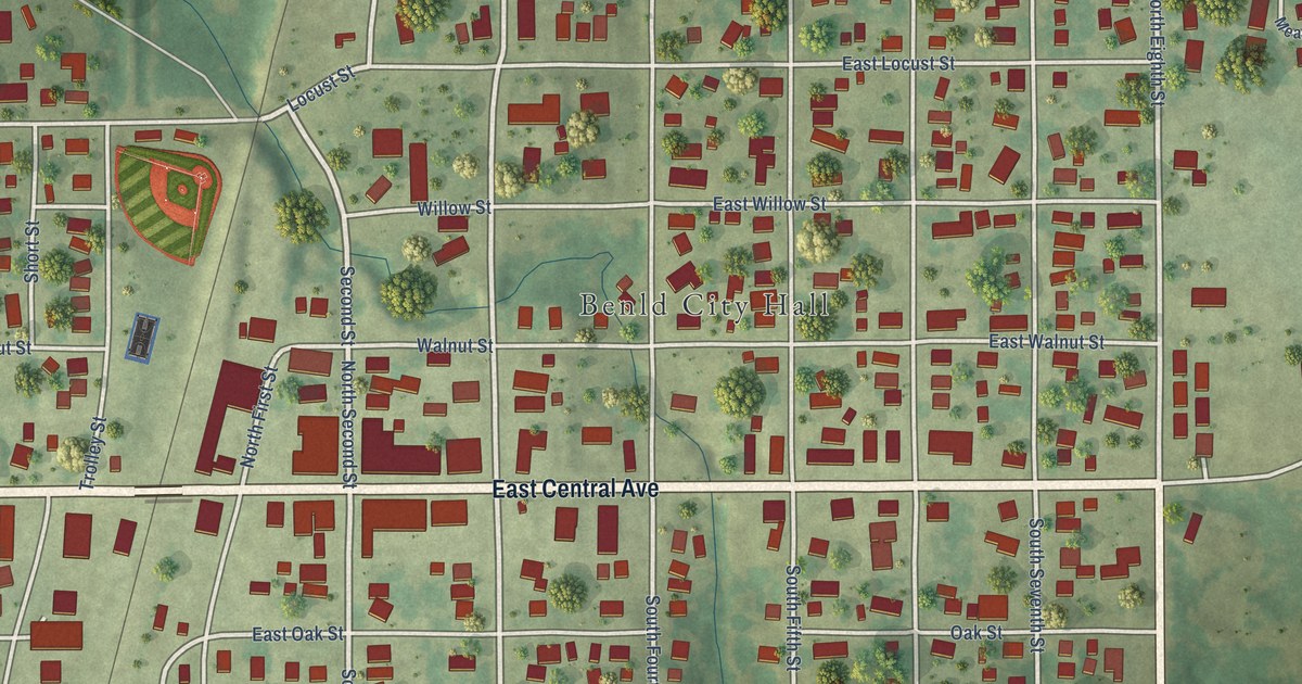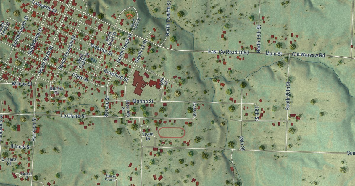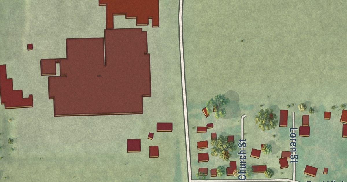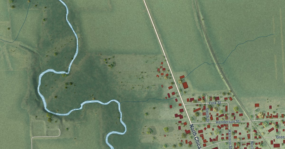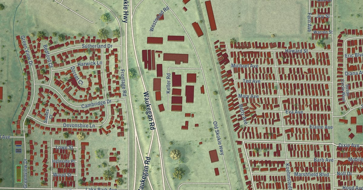
This beautifully detailed map of Park City, Illinois was created in 2026 using aerial imagery combined with modern topographical, census, street and landmark data. It’s a one-of-a-kind view of Park City that combines accurate data with a vintage aesthetic. The map shows every building in its true location, many of the roads carry their names, and the shaded topographic relief shows the shape of the land.
Explore an aerial view of Park City, Illinois
On the map you’ll find Wilson, along with Belvidere Road, Skokie Highway, South Waukegan Road, Telegraph Road, Waukegan Road, Dixie Avenue, Will Street, Ruth Wilcox Avenue, Knight Avenue, Eighth Street, Lake Park Avenue, and more. If you look closely you can even find your house accurately drawn in its correct location. Zoom in on the preview to look for yours.
Did you know this piece of Park City, Illinois history?
From the Encyclopedia of Chicago: "Owners of four mobile home parks banded together to incorporate Park City in 1958 to block annexation from nearby Waukegan."
Take a closer look at the Park City map
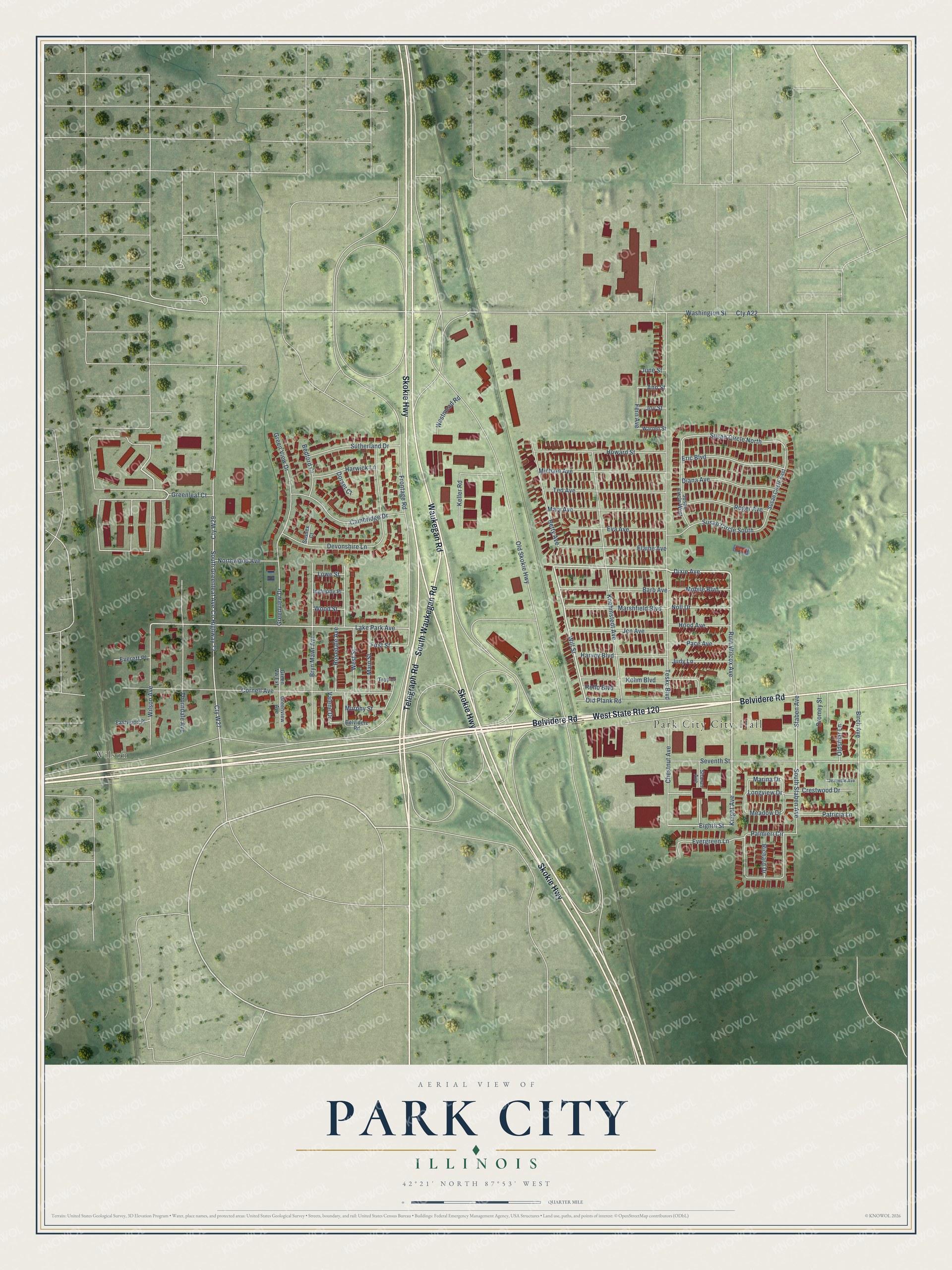
Street and place names on the Park City, Illinois map
These names are printed on the map of Park City, Illinois.
Places: Park City City Hall and Wilson.
Streets and roads: Belvidere Road, Skokie Highway, South Waukegan Road, Telegraph Road, Waukegan Road, West State Route 120, Dixie Avenue, Will Street, Ruth Wilcox Avenue, Knight Avenue, Eighth Street, Lake Park Avenue.
More street names, A to Z
Ann Street, Barb Avenue, Bedford Court, Betty Avenue, Birch Avenue, Bryn Mawr Avenue, Cambridge Drive, Chestnut Avenue, Cornell Avenue, County Highway 72, Crestwood Drive, Cty A22, Cty W27, Cty W29, Devonshire Lane, Diana Avenue, Dorset Court, Dromey Street, Eastwood Place, Elaine Avenue, Eric Boulevard, Eva Avenue, Everett Place, Evergreen Lane, Fern Avenue, First Street, Frontage Road, Greenleaf Court, Greenview Avenue, Green View Drive, Greenview Drive, Green Vw Extension, Harvey Boulevard, Harwick Lane, Hood Avenue, Howard Street, Ingleside Place, Jeanette Avenue, Jen Avenue, Joy Street, Judy Lane, June Street, Kehm Boulevard, Keller Road, Koehmstedt Avenue, Longview Drive, Lowe Street, Main Street, Marina Drive, Marshfield Boulevard, Mary Avenue, Meadow Drive, Michael Avenue, Mobile Boulevard, Murphy Street, Noll Drive, Northwood Avenue, Old Plank Road, Old Skokie Highway, Oldsmar Lane, Pace Avenue, Palmieri Circle, Patricia Lane, Richard Drive, Roger Avenue, Rollo Boulevard, Rosedale Avenue, Seventh Street, Sharon Avenue, South Greenleaf Avenue, South Staben Avenue, Staben Avenue, Susan Circle East, Susan Circle North, Susan Circle South, Susan Circle West, Sussex Court, Sutherland Drive, Ted Avenue, Teske Boulevard, Thorndale Avenue, Troy Drive, Valene Drive, Warren Street, Washington Street, Westmead Road, West Street, Wilson Avenue, Wood Street.
See the Park City, Illinois map on a wall
The Park City map as an 18 x 24 inch print in a black frame.

This beautifully detailed map of Park City makes an attractive addition to your office, library, or den, and it can even be used to teach children the geography and history of the area. It also makes a great gift for anyone with Park City roots. When you’re done exploring, click here to get your copy of the Park City map.