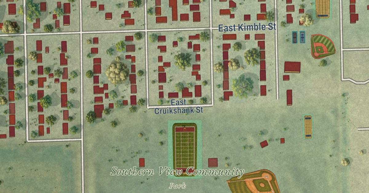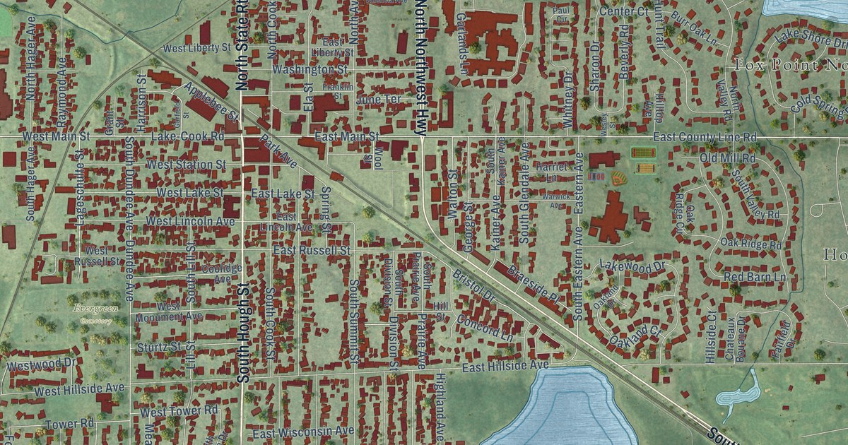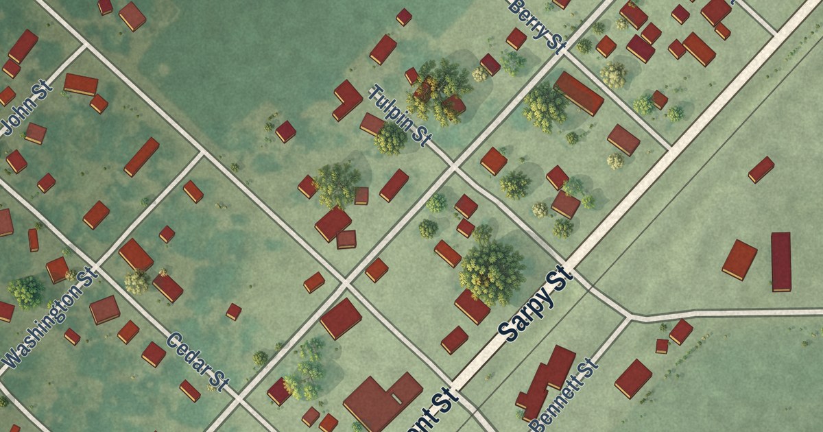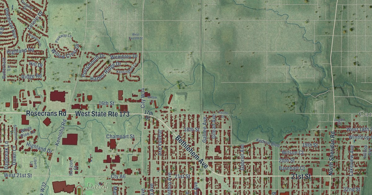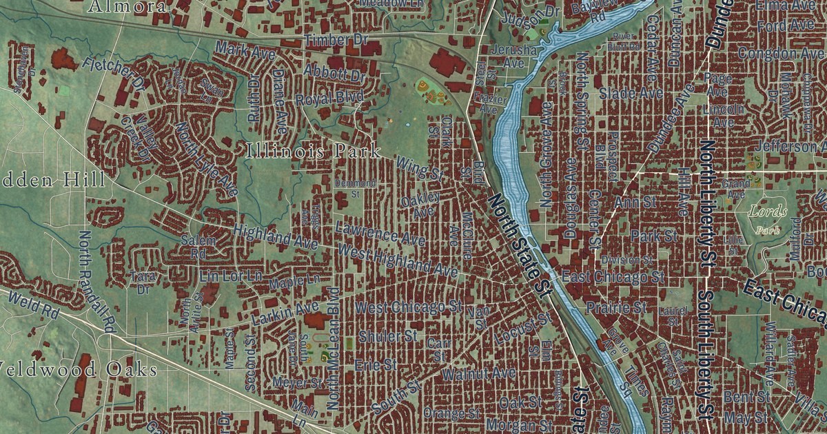
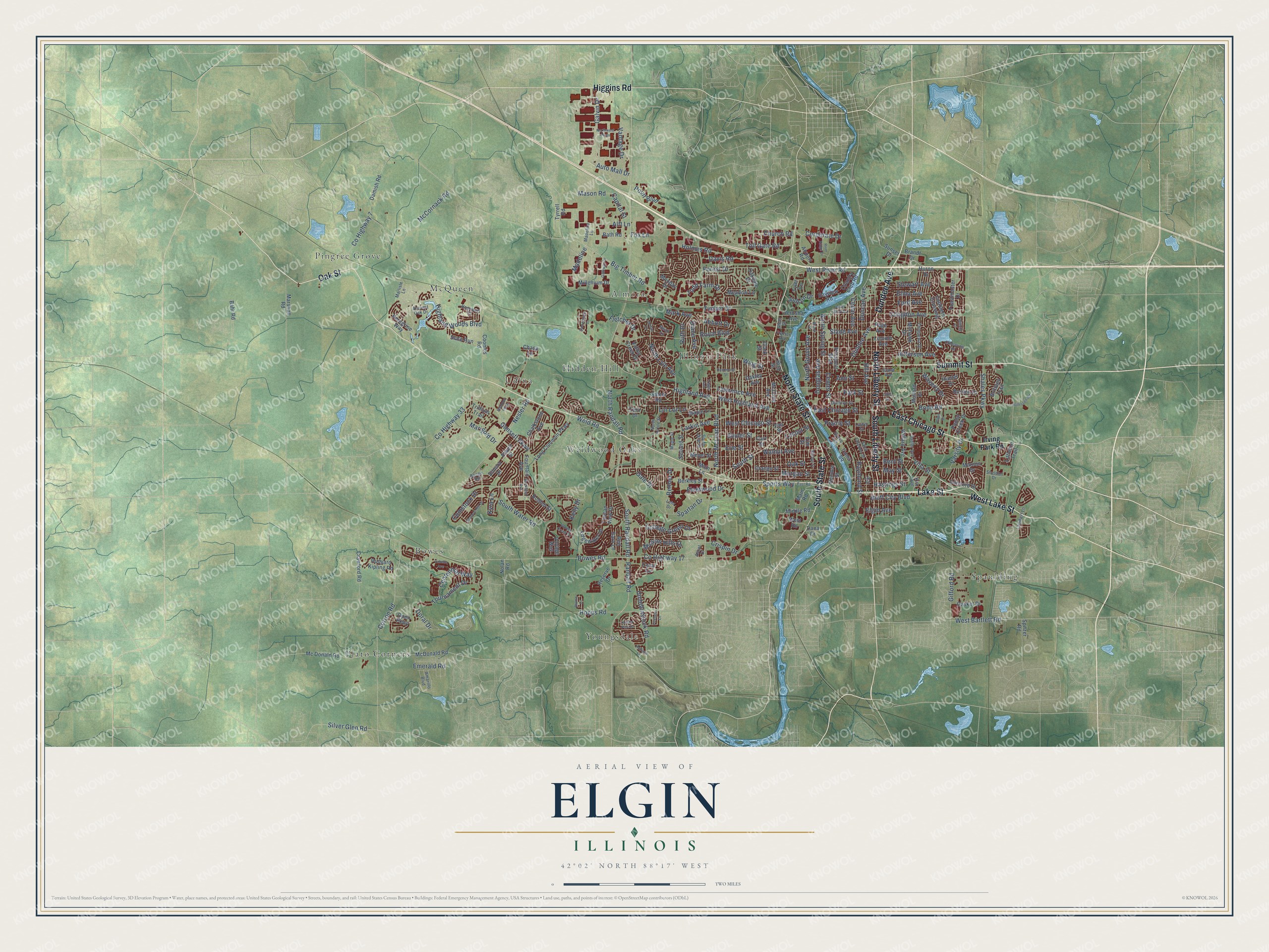
This beautifully detailed map of Elgin, Illinois was created in 2026 using aerial imagery combined with modern topographical, census, street and landmark data. It’s a one-of-a-kind view of Elgin that combines accurate data with a vintage aesthetic. The map shows every building in its true location, many of the roads carry their names, and the shaded topographic relief shows the shape of the land.
Explore an aerial view of Elgin, Illinois
On the map you’ll find Lords Park, Almora, Bowes, Hidden Hill, Illinois Park, McQueen, Pingree Grove, Plato Corners, Spaulding, Udina, Weldwood Oaks, Youngsdale, and more. If you look closely you can even find your house accurately drawn in its correct location. Zoom in on the preview to look for yours.
Did you know this piece of Elgin, Illinois history?
From the Historical Marker Database: "The Elgin Historic District is one of the city's oldest residential areas and includes the site of the founder's log cabin. Lots in the district were first platted in 1842."
Take a closer look at the Elgin map
Street and place names on the Elgin, Illinois map
These names are printed on the map of Elgin, Illinois.
Places: Lords Park, Plato Corners, Pingree Grove, Youngsdale, Weldwood Oaks, Spaulding, Almora, Bowes, Udina, McQueen, Illinois Park and Hidden Hill.
Streets and roads: Summit Street, East Chicago Street, Dundee Avenue, Lake Street, North Liberty Street, South Liberty Street, West Lake Street, North State Street, South State Street, Higgins Road, Oak Street, Villa Street.
More street names, A to Z
Abbott Drive, Airport Road, Alft Lane, Allen Drive, Amarillo Boulevard, Ancient Oak Drive, Ann Street, Ascot Drive, Atwell Street, Auto Mall Drive, Bahr Road, Bath Road, Bayview Road, Bent Street, Berkley Street, Big Timber Road, Billings Street, Bird Street, Bluff City Boulevard, Blume Drive, Bode Road, Borden Drive, Bowes Road, Brandt Drive, Brittany Trail, Brook Street, Capital Street, Carr Street, Cedar Avenue, Centennial Way, Center Street, Chalkstone Avenue, Chase Lane, Chippewa Drive, Church Road, Clark Street, Cobblers Crossing, Coldspring Road, College Green Drive, Comstock Drive, Concord Drive, Congdon Avenue, Coombs Road, Coral Cv, Corporate Drive, Corron Road, Country Club Road, County Highway 7, County Highway 17, County Highway 33, Crawford Road, Crispin Drive, Damish Road, Dana Drive, Davis Road, Demmond Street, Diane Avenue, Division Street, Doral Drive, Douglas Avenue, Duncan Avenue, East Road, Edgewater Drive, Elgin Avenue, Elma Avenue, Elm Street, Emerald Road, Erie Street, Fleetwood Drive, Fletcher Drive, Ford Avenue, Forest Drive, Fountain Avenue, Fox Lane, Foxmoor Lane, Frazier Avenue, Gale Street, Galvin Drive, Gansett Parkway, Gasket Drive, Gateway Drive, Gifford Road, Grand Avenue, Grove Avenue, Hastings Street, Hatfield Lane, Hendee Street, Highland Avenue, Highland Woods Boulevard, Hill Avenue, Holden Street, Holmes Road, Hopewell Place, Hopps Road, Hunter Drive, Huron Drive, Irving Park Road, Jay Street, Jefferson Avenue, Jerusha Avenue, Jordan Lane, Judson Drive, Kelly Drive, Kirk Avenue, Knotty Pine Drive, Kyra Lane, Lambert Lane, Larkin Avenue, Laurel Street, Lawrence Avenue, Lehr Drive, Lillie Street, Lincoln Avenue, Lin Lor Lane, Littleton Trail, Locust Street, Long Common Parkway, Madeline, Madeline Lane, Main Lane, Main Road, Maple Lane, Maple Street, Marigold Drive, Mark Avenue, Marlisle Lane, Maroon Drive, Marshall Road, Mason Road, May Street, McClure Avenue, McCornack Road, Mc Donald Road, McDonald Road, Meadow Lane, Meyer Street, Middle Road, Millenium Drive, Mission Hills Drive, Mohawk Drive, Monday Drive, Morgan Street, Mulford Drive, Nesler Road, Nolan Road, North Airlite Street, North Grove Avenue, North Lyle Avenue, North McLean Boulevard, North Randall Road, North Spring Street, Northwest Parkway, Oakdale Drive, Oakley Avenue, Open Parkway, Orange Street, Page Avenue, Park Street, Peregrine Way, Point Boulevard, Poplar Creek Drive, Prairie Street, Prospect Boulevard, Randall Road, Range Road, Raymond Street, Red Barn Lane, Renner Drive, Reserve Drive, River Bluff Road, River Ridge Drive, Rockland Avenue, Rohrssen Road, Royal Boulevard, Rudyard Kipling Road, Ruth Drive, Sadler Avenue, Saint Charles Street, Salem Road, Second Street, Shadow Hill Drive, Shales Parkway, Shannon Parkway, Sheldon Drive, Shuler Street, Silver Glen Road, Slade Avenue, Slate Run, Sonora Drive, South Jane Drive, South Randall Road, South Street, South Water Road, Spartan Drive, Spitzer Road, Sports Way, Steel Street, Stewart Avenue, Stonehaven Drive, Stoney Creek Drive, Sunset Drive, Swan Lane, Tara Drive, Timber Drive, Times Square, Toastmaster Drive, Todd Farm Drive, Toll Gate Road, Tournament Drive, Triggs Avenue, Trillium Trail, Tuscan View Drive, Tyler Lane, Tyrrell Road, Umbdenstock Road, Vahella Avenue, Valley Creek Drive, Van Street, Vantage Drive, Varsity Drive, Voyage Way, Walnut Avenue, Waverly Drive, Weld Road, West Bartlett Road, West Chicago Street, West Highland Avenue, West River Road, West Road, Willard Avenue, Willoby Lane, Wing Street.
See the Elgin, Illinois map on a wall
The Elgin map as an 18 x 24 inch print in a black frame.

This beautifully detailed map of Elgin makes an attractive addition to your office, library, or den, and it can even be used to teach children the geography and history of the area. It also makes a great gift for anyone who grew up in Elgin or moved away. When you’re done exploring, click here to get your copy of the Elgin map.