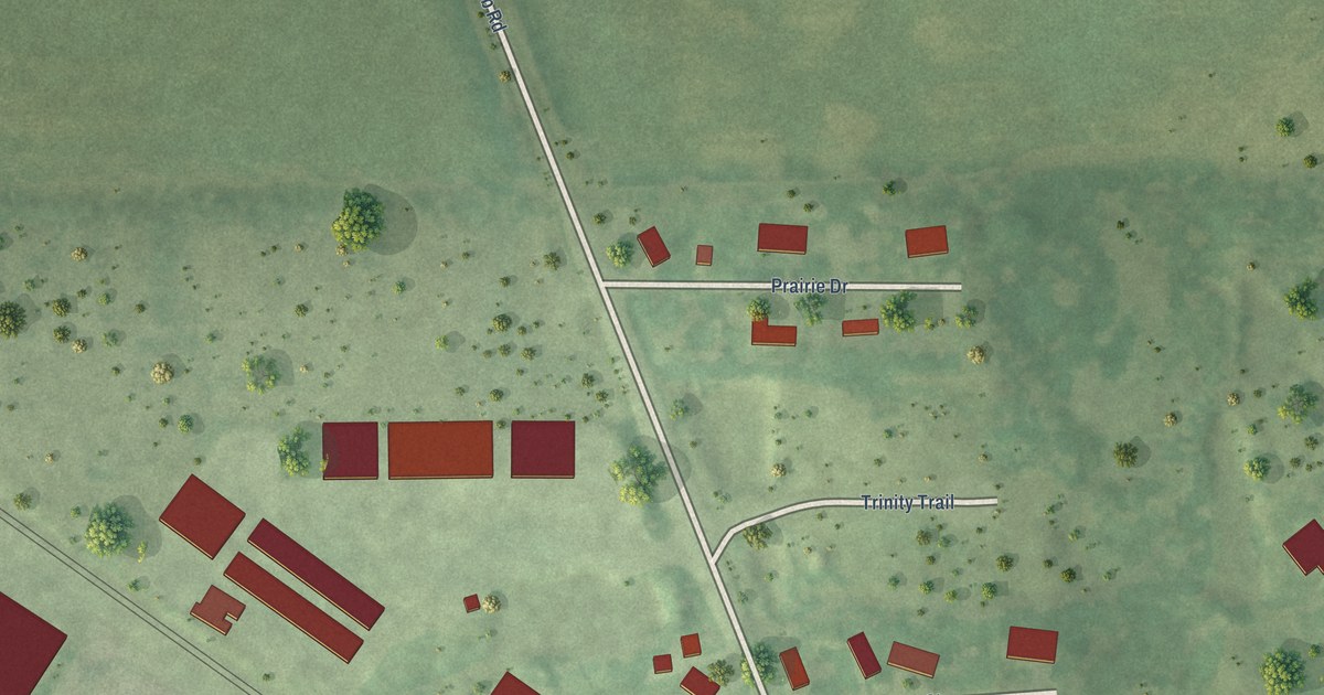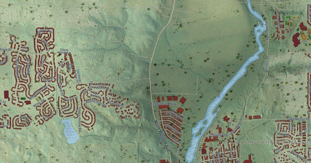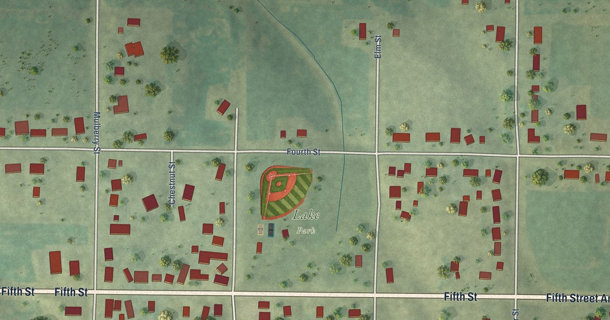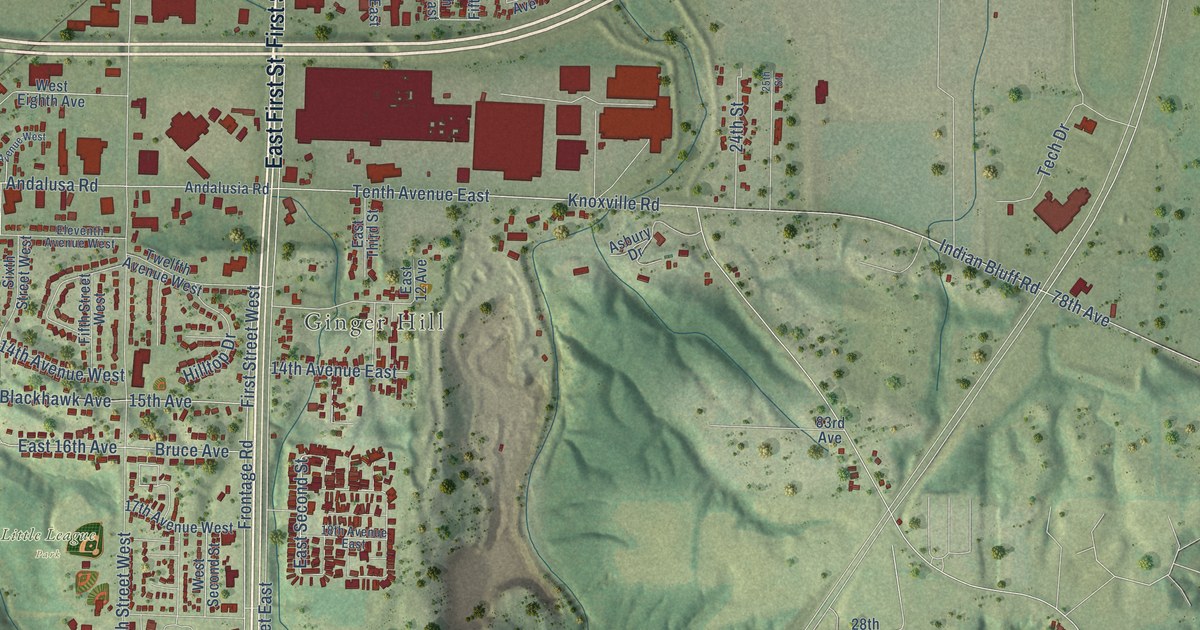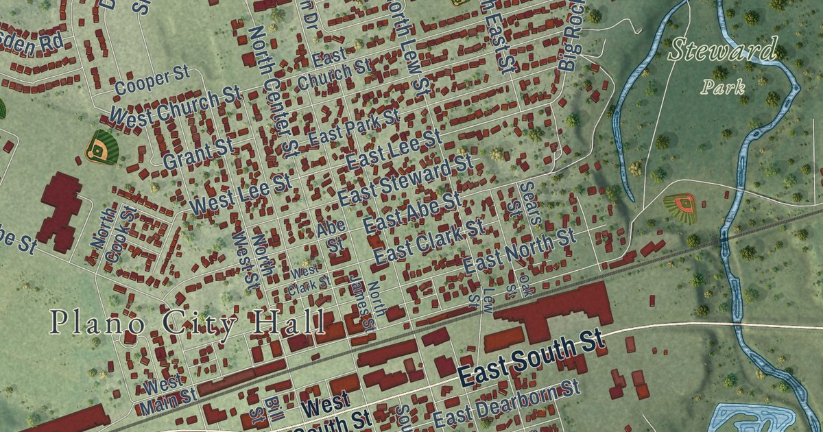
This beautifully detailed map of Plano, Illinois was created in 2026 using aerial imagery combined with modern topographical, census, street and landmark data. It’s a one-of-a-kind view of Plano that combines accurate data with a vintage aesthetic. The map shows every building in its true location, many of the roads carry their names, and the shaded topographic relief shows the shape of the land.
Explore an aerial view of Plano, Illinois
On the map you’ll find Plano City Hall, Foli Park, and Steward Park, along with West Veterans Parkway, East South Street, West US Highway 34, Carey Street, County Highway 9, Keller Street, Kristen Street, Needham Road, South Hale Street, and more. If you look closely you can even find your house accurately drawn in its correct location. Zoom in on the preview to look for yours.
Did you know this piece of Plano, Illinois history?
From the Historical Marker Database: "Plano Stone Church was completed and dedicated in November 1868. The pews and pulpit, made from native lumber by church members, are still in use."
Take a closer look at the Plano map
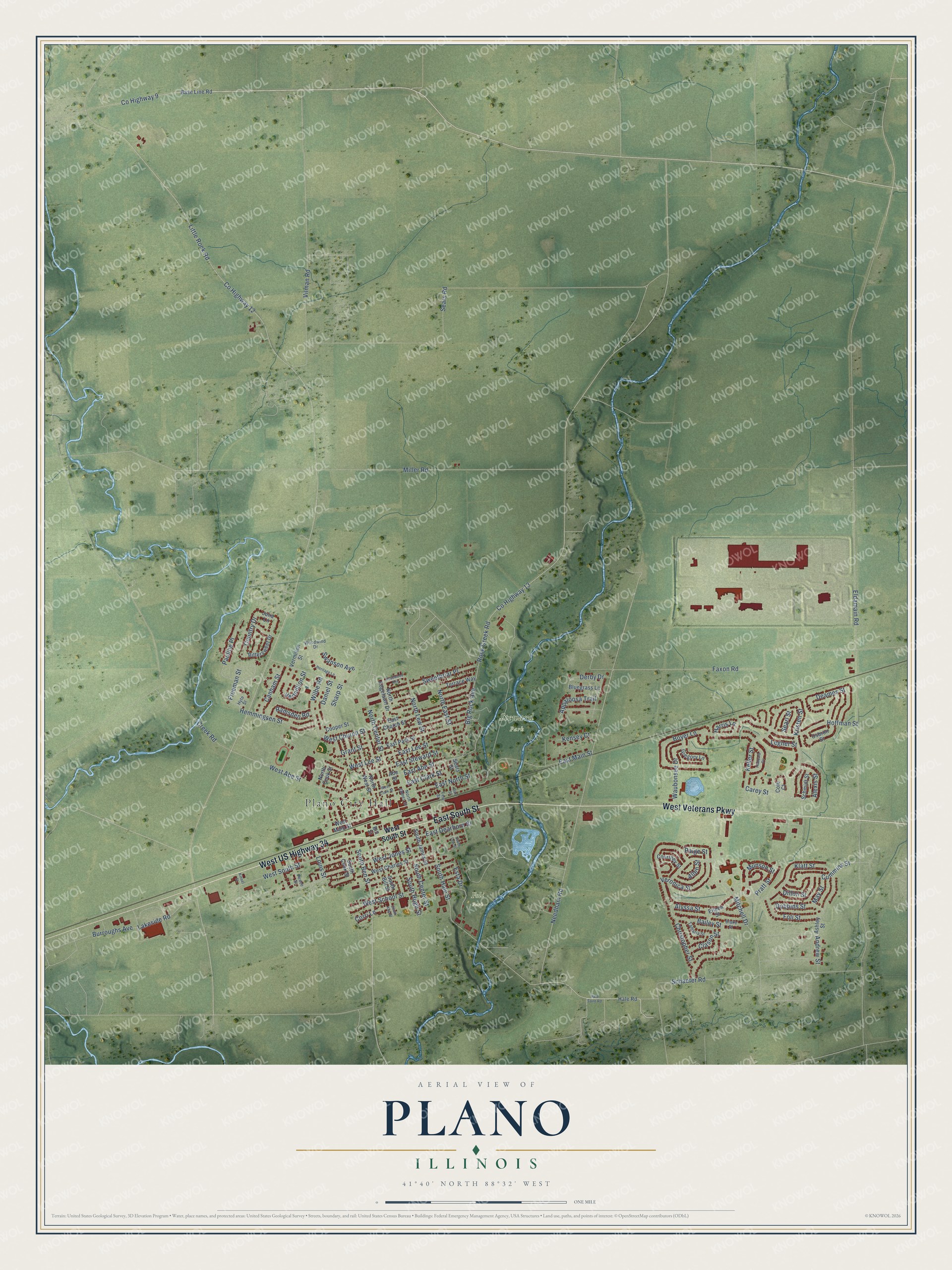
Street and place names on the Plano, Illinois map
These names are printed on the map of Plano, Illinois.
Places: Plano City Hall, Foli Park and Steward Park.
Streets and roads: West Veterans Parkway, East South Street, West US Highway 34, Carey Street, County Highway 9, Keller Street, Kristen Street, Needham Road, South Hale Street, East Lee Street, Big Rock Avenue, East Dearborn Street.
More street names, A to Z
Abe Street, Alexis Street, Allen Street, Alyssa Street, Andrew Street, Appaloosa Trail, Ashley Street, Bailey Street, Base Line Road, Bill Street, Bittersweet Drive, Blake Street, Bluegrass Lane, Boyer Lane, Burroughs Avenue, Canham Street, Christopher Street, Clason Street, Cole Court, Cooper Street, Corri Lane, Country Drive, County Highway 12, County Highway 13, Courtney Street, Creek Road, Cummins Street, Daniel Street, Deames Street, Derby Drive, Dillon Street, Dobbins Street, East Abe Street, East Church Street, East Clark Street, East Main Street, East North Street, East Park Street, East Steward Street, Eileen Street, Eldamain Road, Esta Drive, Faxon Road, Foli Street, Freeman Street, Grant Street, Gregory Lane, Hale Road, Hale Saint Road, Harris Lane, Hemmingsen Street, Heritage Lane, Hoffman Street, Hubbard Circle, Hyte Street, Julia Lane, Kensey Court, Kinsel Street, Klatt Street, Lakeside Road, Legner Street, Lew Street, Little Rock Road, Louis Street, May Street, Miller Road, Mitchell Drive, Munson Street, North Center Street, North Cook Street, North East Street, North Edgelawn Drive, North James Street, North Lew Street, North West Street, Oak Street, Osbron Street, Paige Street, Pauline Place, Pence Street, Pratt Street, Ramsden Road, Rock Creek Road, Rosewood Avenue, Schaefer Road, Schmidt Street, Searl Street, Sears Road, Sears Street, Sharp Street, South Ben Street, South Bill Street, South Center Street, South Cook Street, South Hugh Street, South James Street, South Kay Street, South Lew Street, Swanson Avenue, Sweetbriar Place, Tamaria Street, Terrace Way, Vermilion Street, Vermillion Street, Veronica Street, Vilman Road, Waubonsee Drive, West Abe Street, West Charles Street, West Church Street, West Clark Street, West Jones Street, West Lee Street, West Main Street, West School Street, West South Street, Wilbe Road, Woodwind Drive.
See the Plano, Illinois map on a wall
The Plano map as an 18 x 24 inch print in a black frame.

This beautifully detailed map of Plano makes an attractive addition to your office, library, or den, and it can even be used to teach children the geography and history of the area. It also makes a great gift for someone who left Plano and still calls it home. When you’re done exploring, click here to get your copy of the Plano map.