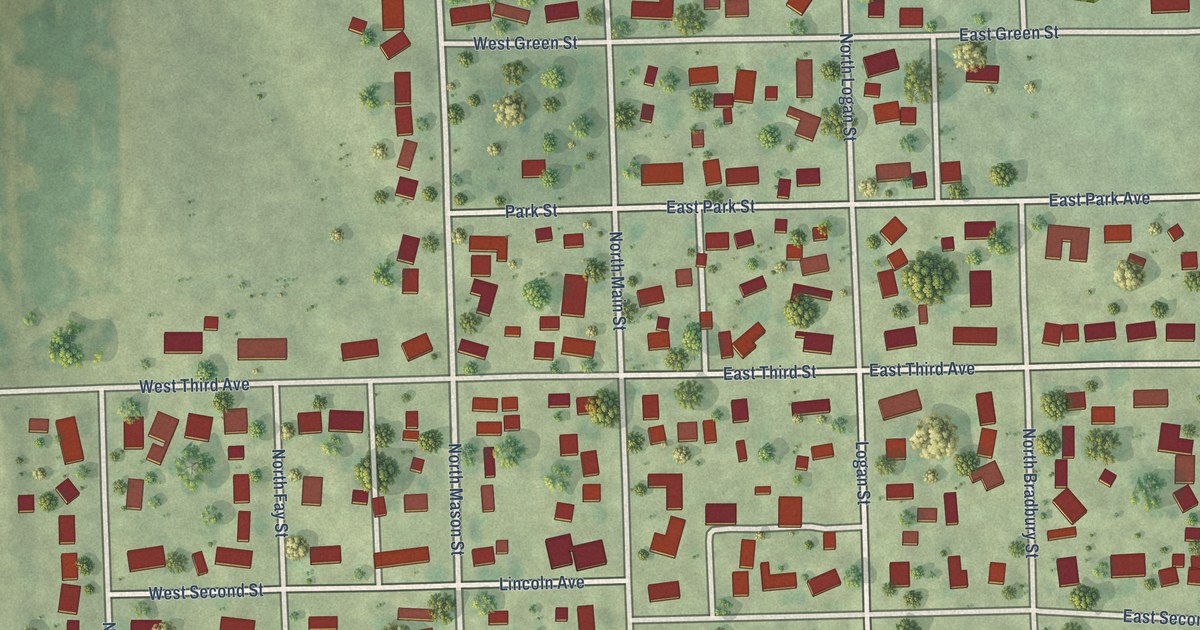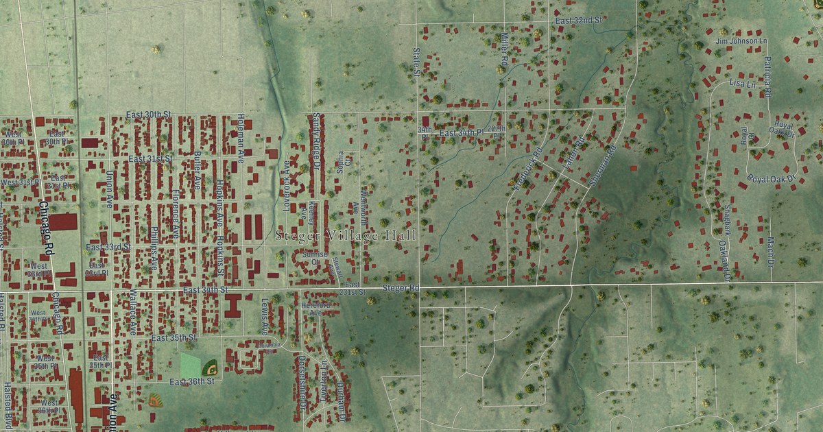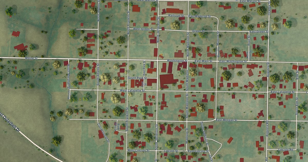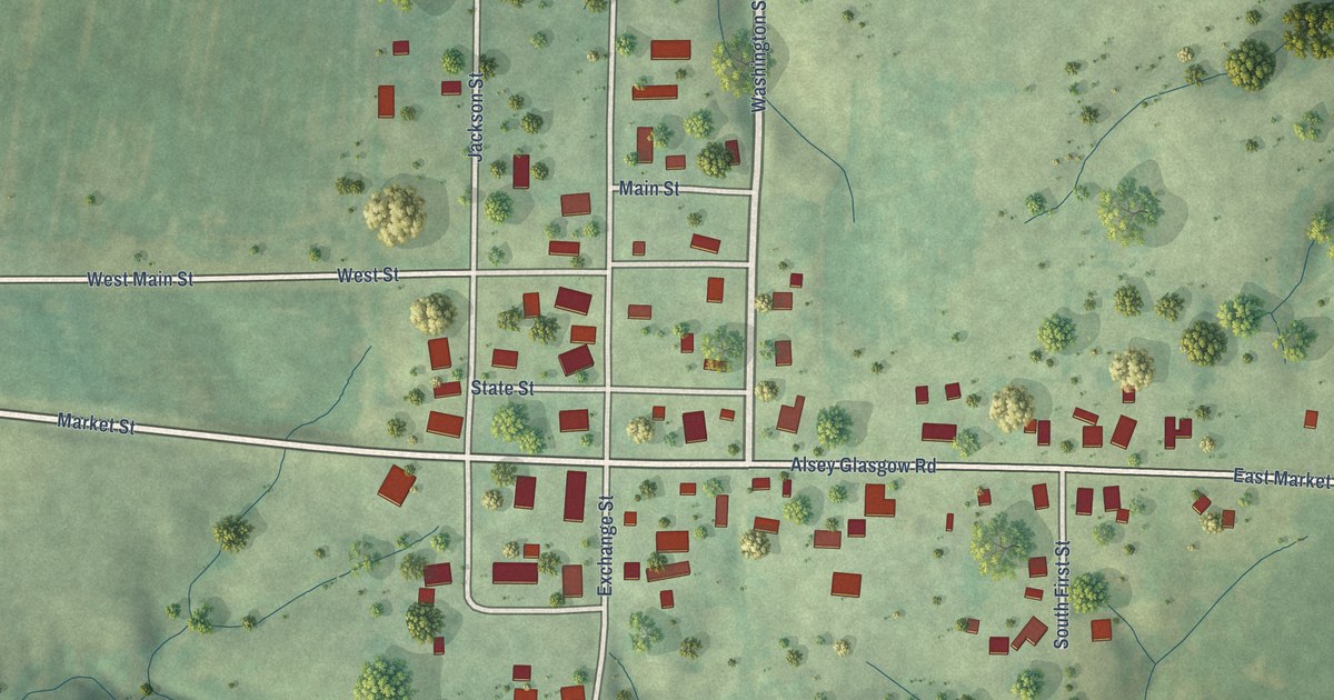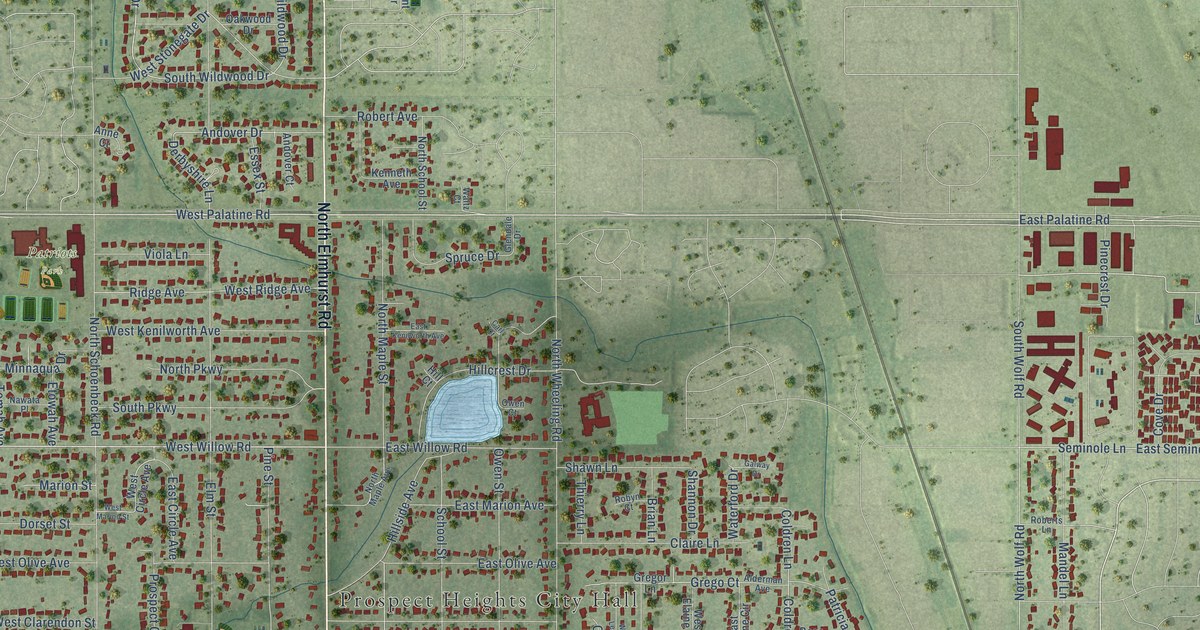
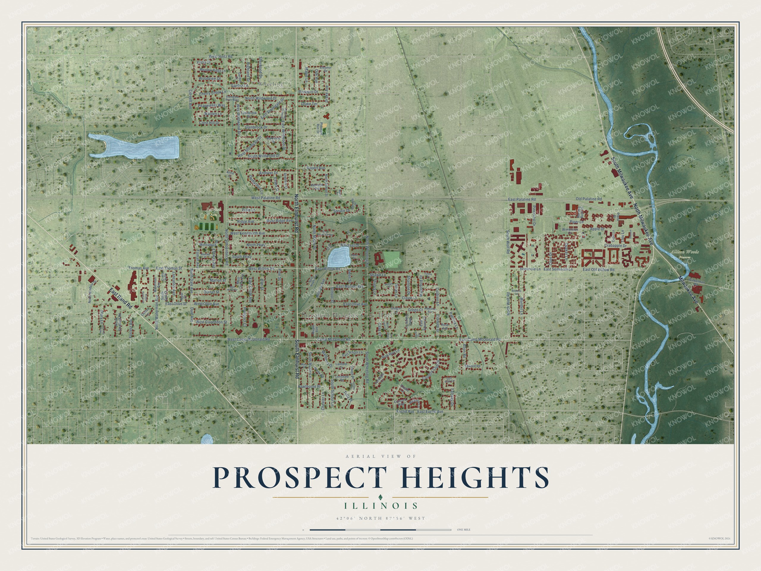
This beautifully detailed map of Prospect Heights, Illinois was created in 2026 using aerial imagery combined with modern topographical, census, street and landmark data. It’s a one-of-a-kind view of Prospect Heights that combines accurate data with a vintage aesthetic. The map shows every building in its true location, many of the roads carry their names, and the shaded topographic relief shows the shape of the land.
Explore an aerial view of Prospect Heights, Illinois
On the map you’ll find Prospect Heights City Hall, Allison Woods Preserve, Patriots Park, and Wheeling, along with South Elmhurst Road, North Milwaukee Avenue, North Elmhurst Road, East Rand Road, Milwaukee Avenue, South Milwaukee Avenue, East Palatine Road, Camp McDonald Road, and more. If you look closely you can even find your house accurately drawn in its correct location. Zoom in on the preview to look for yours.
Did you know this piece of Prospect Heights, Illinois history?
From the City of Prospect Heights: "The first family moved in during January 1936 and by the end of the year there were six affordable homes in the pleasant rural area to be called Prospect Heights."
Take a closer look at the Prospect Heights map
Street and place names on the Prospect Heights, Illinois map
These names are printed on the map of Prospect Heights, Illinois.
Places: Prospect Heights City Hall, Allison Woods Preserve, Patriots Park and Wheeling.
Streets and roads: South Elmhurst Road, North Milwaukee Avenue, North Elmhurst Road, East Rand Road, Milwaukee Avenue, South Milwaukee Avenue, East Palatine Road, Camp McDonald Road, East Camp McDonald Road, West Willow Road, Country Club Drive, Thomas Avenue.
More street names, A to Z
Alderman Avenue, Alton Road, Andover Court, Andover Drive, Anne Court, Apple Drive, Blossom Lane, Brian Lane, Brook Road, Burning Bush Drive, Carl Court, Casa Court, Center Lane, Cherry Creek Lane, Chester Lane, Cider Lane, Claire Lane, Coldren Drive, Coldren Lane, Concord Way, Cornell Avenue, Cove Drive, Crabapple Drive, Crest Hill Drive, Dale Avenue, Derbyshire Lane, Dorset Street, Drake Avenue, Drake Terrace, Drury Lane, East Circle Avenue, East Elaine Circle, East Euclid Avenue, East Kenilworth Avenue, East Marion Avenue, East Old Willow Road, East Olive Avenue, East Olive Street, East School Lane, East Seminole Lane, East Stonegate Drive, East Thomas Street, East Wildwood Drive, East Willow Road, Edward Road, Elaine Circle, Eleanor Drive, Elm Street, Essex Street, Etowah Avenue, Euclid Avenue, Fairway Drive, Ferndale Lane, Forrest Avenue, Galway Drive, Garden Court, Garden Lane, Glenbrook Drive, Glendale Drive, Golf View Circle, Grego Court, Gregor Lane, Hawthorne Place, Highland Drive, Hill Court, Hillcrest Drive, Hillside Avenue, Kenneth Avenue, Kerry Court, Lancaster Avenue, Lanford Lane, Leon Lane, Linden Road South, Lonsdale Road, Lynnbrook Drive, Mandel Lane, Maple Avenue, Maple Lane, Marberry Drive, Marion Street, Mars Place, Meadow Ridge Lane, Minnaqua Drive, Mulberry Lane, Nawata Place, North Dale Avenue, North Drury Lane, North Gail Court, North Maple Avenue, North Maple Street, North Parkway, North Schoenbeck Road, North School Street, North Stratford Road, North Waterman Avenue, North Wheeling Road, North Wildwood Drive, North Windsor Drive, North Wolf Road, Oak Avenue, Oakwood Drive, Old Palatine Road, Owen Court, Owen Place, Owen Street, Patricia Lane, Pearwinkle Way, Pinecrest Drive, Pine Street, Piper Lane, Plaza Drive, Pleasant Run Drive, Prospect Court, Prospect Drive, Quaker Lane, Ridge Avenue, Robert Avenue, Roberts Lane, Rob Roy Lane, Robyn Court, Rose Avenue, Royal Court, School Street, Seminole Lane, Shannon Drive, Shawn Lane, Sherwood Drive, South Gail Court, South Maple Lane, South Owen Place, South Parkway, South School Lane, South Wheeling Road, South Wildwood Drive, South Wolf Road, Spruce Drive, Stonegate Drive West, Thierry Lane, Thistle Lane, Tomah Avenue, Tree Lane, Tully Place, Viola Lane, Walden Lane, Waltz Court, Waterford Drive, Waterman Avenue, West Camp McDonald Road, West Circle Avenue, West Clarendon Street, West Elaine Circle, West Hintz Road, West Kenilworth Avenue, West Leon Lane, West Marion Street, West Olive Avenue, West Palatine Road, West Ridge Avenue, West Stonegate Drive, West Wildwood Drive, Wildwood Drive East, Wimbleton Drive, Winkelman Road, Woodview Drive.
See the Prospect Heights, Illinois map on a wall
The Prospect Heights map as an 18 x 24 inch print in a black frame.

This beautifully detailed map of Prospect Heights makes an attractive addition to your office, library, or den, and it can even be used to teach children the geography and history of the area. It also makes a great gift for someone who left Prospect Heights and still calls it home. When you’re done exploring, click here to get your copy of the Prospect Heights map.