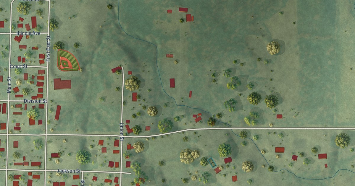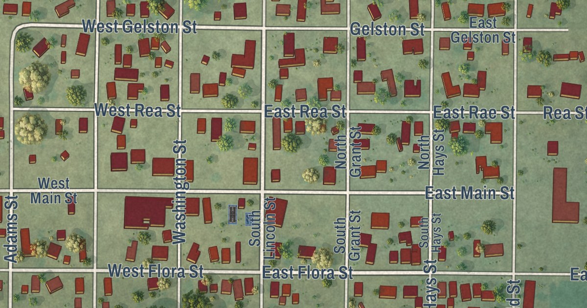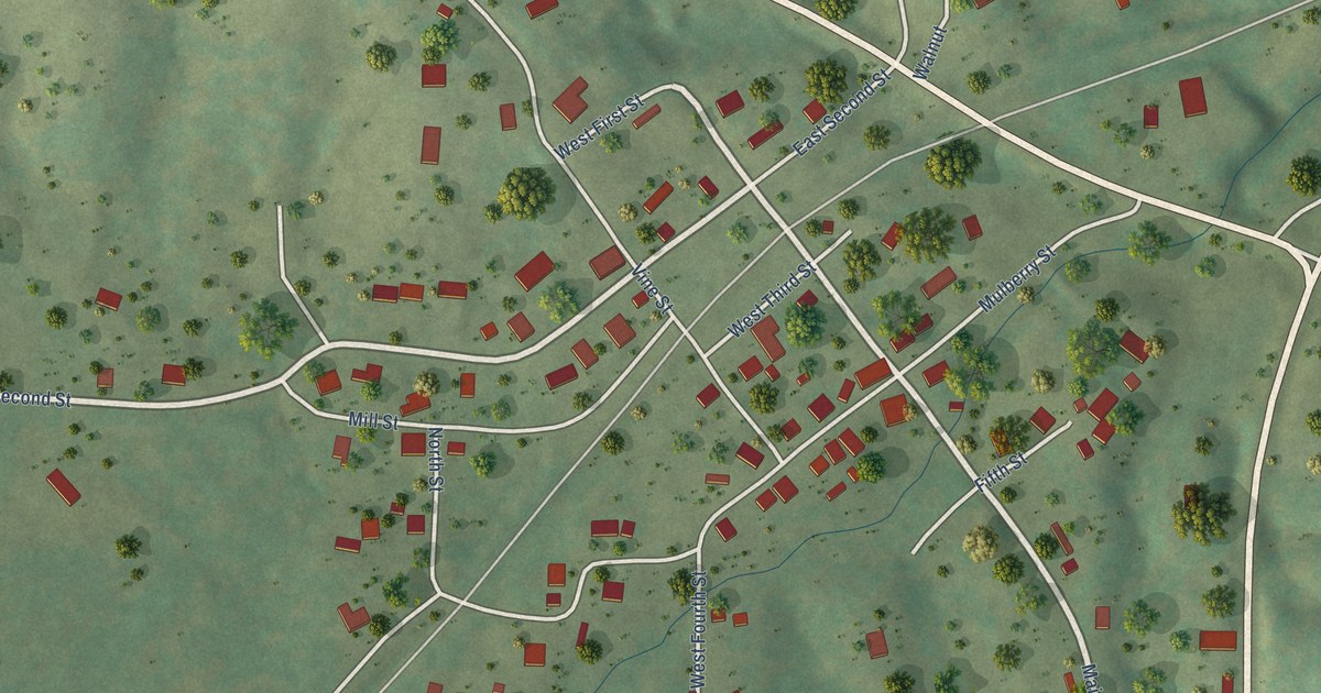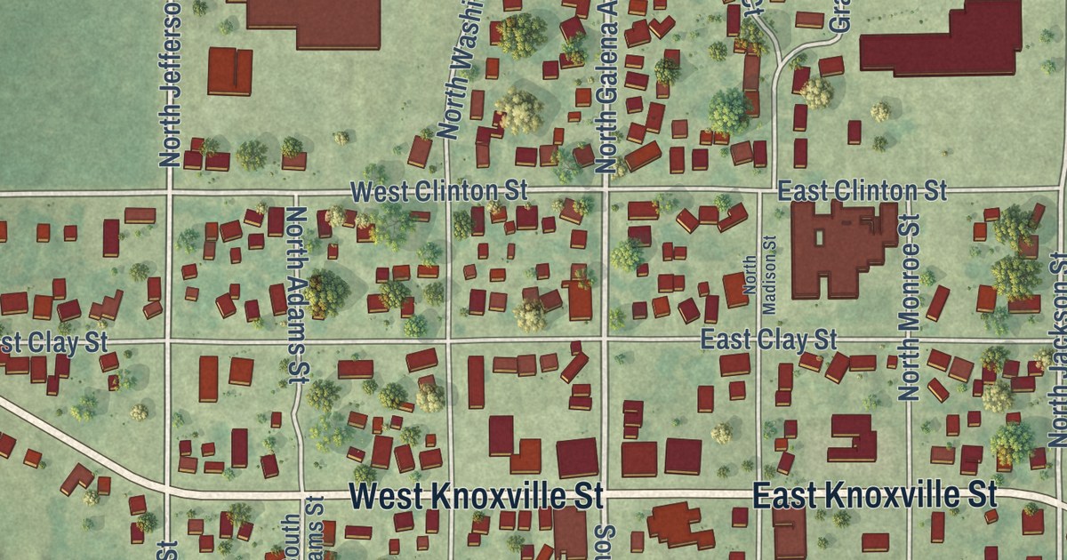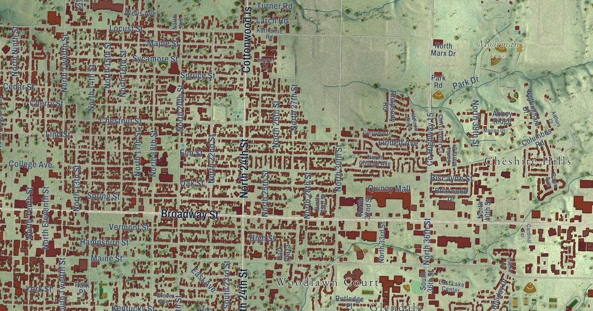
This beautifully detailed map of Quincy, Illinois was created in 2026 using aerial imagery combined with modern topographical, census, street and landmark data. It’s a one-of-a-kind view of Quincy that combines accurate data with a vintage aesthetic. The map shows every building in its true location, many of the roads carry their names, and the shaded topographic relief shows the shape of the land.
Explore an aerial view of Quincy, Illinois
On the map you’ll find South Crest, Southern View, Northridge, Bob Mays Park, Gardner Park, Moorman Park, Cherry Lane Estates, Cheshire Hills, Glendale, Grandview Acres, and Hillside Manor, along with South Park Terrace, and more. If you look closely you can even find your house accurately drawn in its correct location. Zoom in on the preview to look for yours.
Did you know this about Quincy, Illinois?
From the Lincoln Financial Foundation: "After the talk at Kendall Hall, Lincoln, Jonas and several others went to an oyster-house, possibly the one next to the Tremont, returning later to the Quincy House, where Lincoln stayed overnight."
Take a closer look at the Quincy map
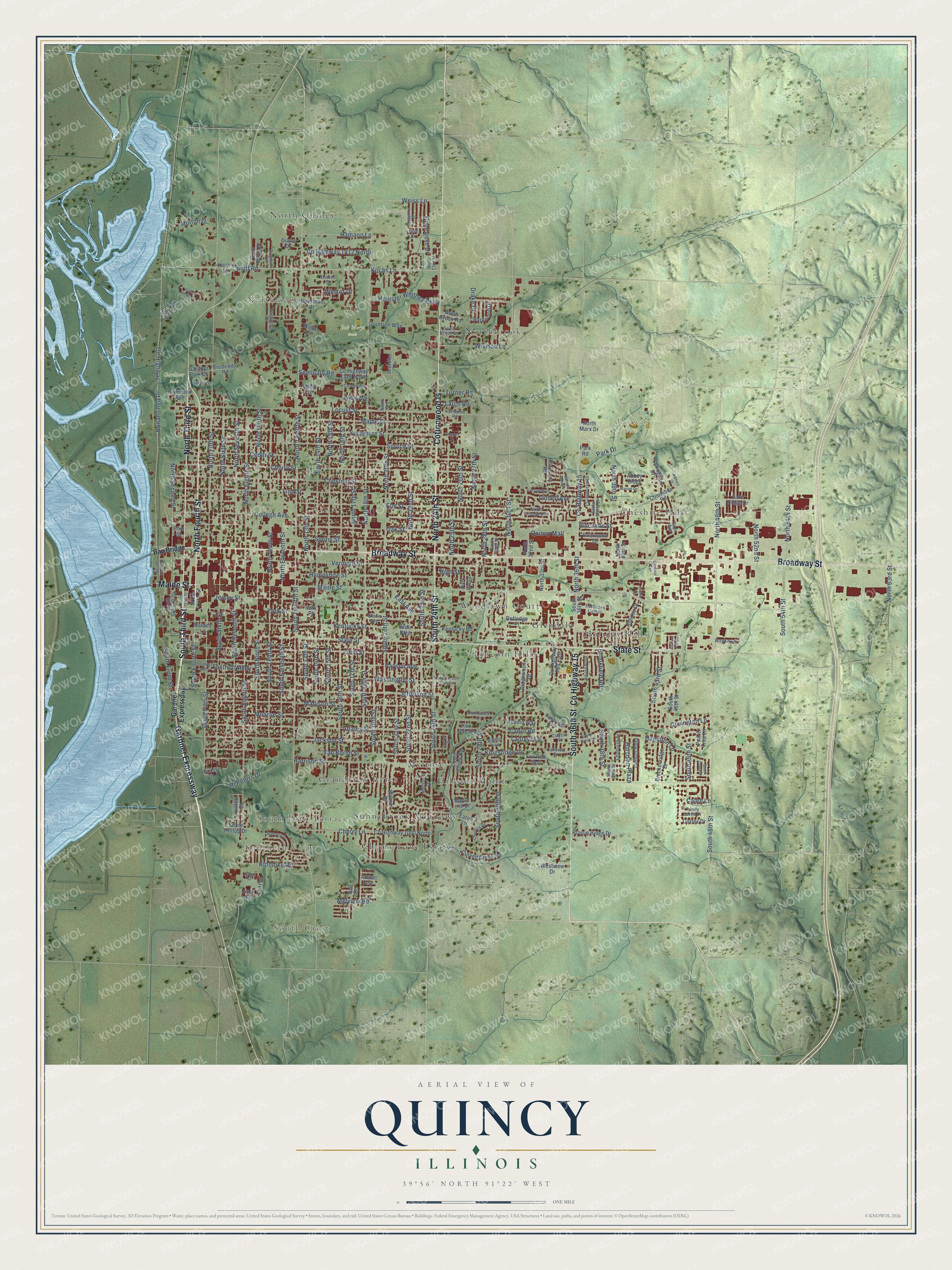
Street and place names on the Quincy, Illinois map
These names are printed on the map of Quincy, Illinois.
Places: South Crest, Southern View, Northridge, South Park Terrace, Bob Mays Park, Gardner Park, Moorman Park, Cherry Lane Estates, Cheshire Hills, Glendale, Grandview Acres, Hillside Manor, Holiday Hills, Lincoln Hills, Melrose, North Quincy, Northbrook, Sunnybrook Meadows and Woodlawn Court.
Streets and roads: Gardner Expressway, South 36th Street, Maine Street, South Third Street, North Fourth Street, State Street, Broadway Street, North 24th Street, Cottonwood Is, North Third Street, County Highway 15, South 24th Street.
More street names, A to Z
Abbey Ridge, Acadia Way, Adams Street, Aldo Boulevard, Amber Avenue, Anyka Lane, April Avenue, Arthurs Court, Bay Bridge, Biscayne Street, Bluff Ridge Drive, Bluff Road, Bonansinga Drive, Breckenridge Drive, Bredeweg Road, Briarwood Drive, Brookfield Road, Cabot Road, Cadbury Ridge, Caleb Lane, Callaway Drive, Cambridge Ests, Cardinal Terrace, Carnoustie Lane, Cedar Street, Center Avenue, Cherry Lane, Cherry Street, Chestnut Street, Cheswick Road, Christopher Court, Clayton Road, College Avenue, Columbus Road, Cortez Drive, County Highway 7, County Highway 788 East, County Highway 1000 North, County Highway 1326 North, County Highway 1412 North, Covington Lane, Crestview Drive, Curtis Creek Road, Curved Creek Road, Diana Drive, Donlee Street, Drake Drive, Dublin Drive, East Avenue, East Lake Center, Eaton Lane, Edinburgh Drive, Elm Street, Emerald Drive, Fasthoff Alley, Fox Run East, Frese Drive, Gardner Expresspay, Gardner Park Drive, Genevieve Drive, Grant Drive, Grove Avenue, Hamann Lane, Hampshire Street, Hampton Lane, Harrison Plaza, Harrison Street, Hickory Pointe, High Street, Hill and Brook, Hilltop Drive, Holiday Drive, Hollister Whitney Parkway, Jackson Street, Jefferson Street, Jennifer Lane, Jersey Street, Josephine Drive, Joshua Street, Katherine Road, Ken Ray Drive, Kentucky Road, Kentucky Street, Kingsridge Drive, Klondike Road, Koch's Lane, Kochs Lane, Lake Ridge Drive, Lantern Lane, Larch Road, Lexi Lane, Liebig Alley, Lindell Avenue, Lind Street, Locust Street, Madison Street, Madonna Drive, Maiden Lane, Manor Hill Drive, Maple Street, Marian Drive, Melodie North, Melrose Drive, Melview Road, Merle Street, Mohrman Drive, Monroe Street, Morton Drive, North 13th Street, North 14th Street, North 15th Street, North 16th Street, North 17th Street, North 18th Street, North 20th Street, North 22nd Street, North 23rd Street, North 25th Street, North 26th Street, North 27th Street, North 28th Street, North 29th Street, North 30th Street, North 32nd Street, North 33rd Street, North 36th Street, North 39th Street, North 40th Street, North 48th Street, North 52nd Street, North 54th Street, North 63rd Street, North Avenue, North Brook Road, North College Avenue, North Country Club Drive, North Eighth Street, North Eleventh Street, North Fifth Street, North Front Street, North Marx Drive, North Ninth Street, Northridge Drive, North Second Street, North Seventh Street, North Sixth Street, North Tenth Street, North Twelfth Street, Nottingham Drive, Oak Street, Ohio Street, Park Drive, Park Place, Park Plaza, Park Road, Parkwood Drive, Pawn Avenue, Payson Avenue, Peach Tree Lane, Pine Street, Prairie Ridge Drive, Quail Creek Drive, Quincy Mall, Quintron Way, Rhapsody Road, Ridgewood Drive, Riverside Terrace, Riverview Avenue, Rj Peters Drive, Rutledge Place, Santa Maria Drive, Scenic Drive, Scotia Trail, Seminary Road, Sharon Drive, South 13th Street, South 14th Street, South 15th Street, South 16th Street, South 17th Street, South 18th Street, South 19th Street, South 20th Street, South 21st Street, South 22nd Street, South 23rd Street, South 28th Street, South 30th Street, South 38th Street, South 39th Street, South 43rd Street, South 45th Street, South 46th Street, South 48th Street, South 54th Street, South Brook Road, South Eighth Street, South Eleventh Street, South Fifth Street, South Fourth Street, South Front Street, South Hilltop Drive, South Ninth Street, South Second Street, South Seventh Street, South Sixth Street, South Tenth Street, South Twelfth Street, Spring Street, Spruce Street, Stone Crest Drive, Sycamore Street, Trinity Lakes Drive, Turner Road, Vail Drive, Valley View Road, Valley Vw West, Van Buren Street, Vermont Street, Washington Street, Watts Lane, Weiss Lane, Wells Avenue, Westview Drive, Wilmar Drive, Winsor Drive, Wisman Lane, York Street.
See the Quincy, Illinois map on a wall
The Quincy map as an 18 x 24 inch print in a black frame.

This beautifully detailed map of Quincy makes an attractive addition to your office, library, or den, and it can even be used to teach children the geography and history of the area. It also makes a great gift for anyone with Quincy roots. When you’re done exploring, click here to get your copy of the Quincy map.