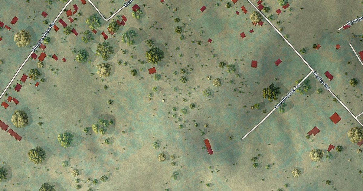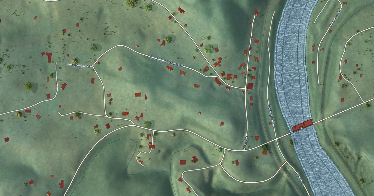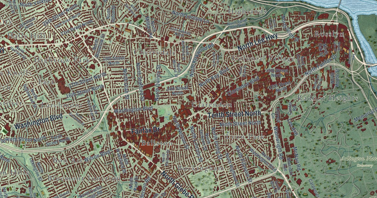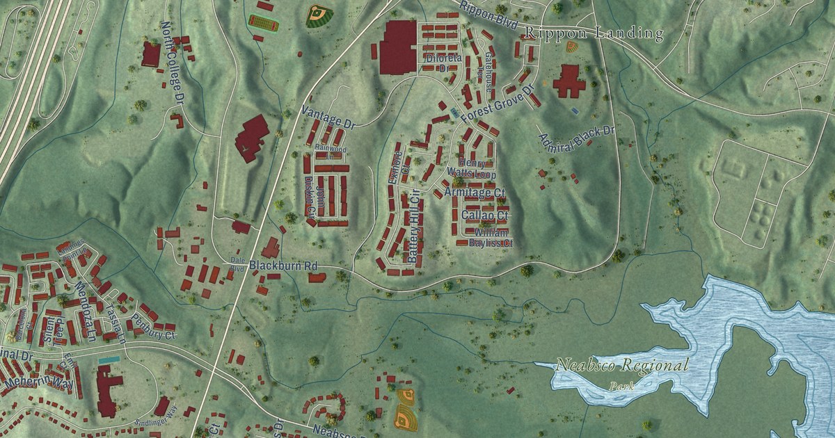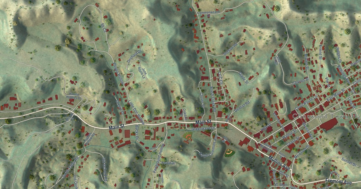
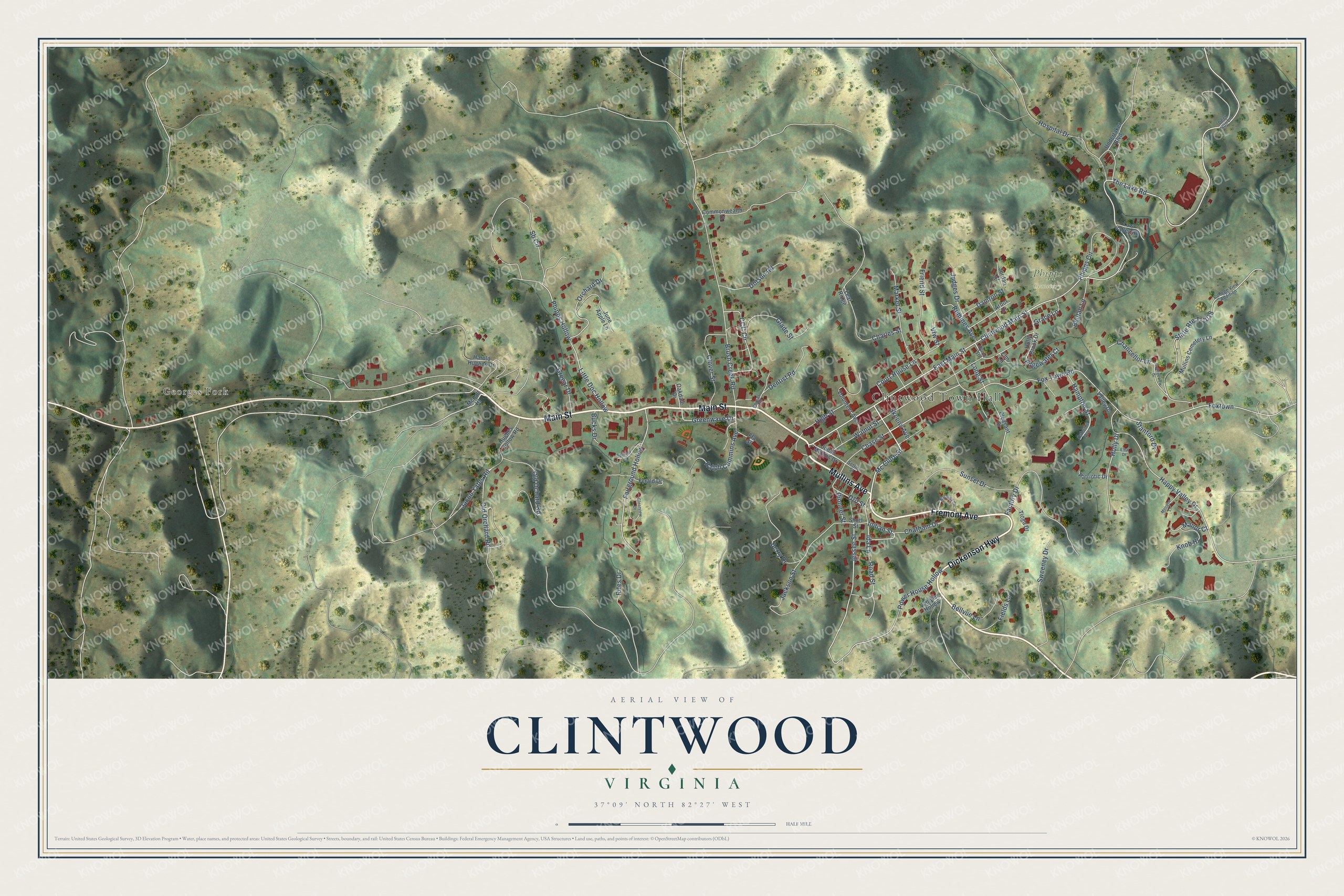
This beautifully detailed map of Clintwood, Virginia was created in 2026 using aerial imagery combined with modern topographical, census, street and landmark data. It’s a one-of-a-kind view of Clintwood that combines accurate data with a vintage aesthetic. The map shows every building in its true location, many of the roads carry their names, and the shaded topographic relief shows the shape of the land.
Explore an aerial view of Clintwood, Virginia
On the map you’ll find Clintwood Town Hall, Georges Fork, and Phipps Cemetery, along with Main Street, Mullins Avenue, Fremont Avenue, Dickenson Highway, Mc Clure Street, East Main Street, Chase Street, Fox Town Road, Court House Lane, and more. If you look closely you can even find your house accurately drawn in its correct location. Zoom in on the preview to look for yours.
Did you know this piece of Clintwood, Virginia history?
In June 1948 Clintwood elected a town council made up entirely of women. Nicknamed the Petticoat Government, it cleaned up the town, fixed parking and garbage pickup, and started a fire department with a new fire truck. Lady Astor and the Voice of America took notice.
Take a closer look at the Clintwood map
Street and place names on the Clintwood, Virginia map
These names are printed on the map of Clintwood, Virginia.
Places: Clintwood Town Hall, Georges Fork and Phipps Cemetery.
Streets and roads: Main Street, Mullins Avenue, Fremont Avenue, Dickenson Highway, Mc Clure Street, East Main Street, Chase Street, Fox Town Road, Court House Lane, Clintwood Main Street, The Lake Road, Power House Hollow.
More street names, A to Z
Arbor Drive, Bellvue Lane, Berry Drive, Beulah Lane, Brush Creek Road, Bucks Drive, CCC Circle, Chancellor Lane, Charles Street, Chatham Drive, Clearview Drive, Clover Street, College View Addition, Collegeview Drive, Commonwealth Drive, D&l Street, Damron Street, Deer Run Lane, Dentist Road, Dotson Road, Edgewater Court, Elm Lane, Elva Drive, Factory Drive, Fairground Hollow, Ferald Drive, Ffa Street, Fields Lane, Foxtown, Friend Street, Glade Street, Grace Lane, Greear Drive, Greenwave Drive, Hampton Street, Happy Valley Drive, Harold Hughes Drive, High Street, Holly Brook Drive, Holly Drive, Hospital Drive, Hughes Hollow Road, Hyton Street, Ida Lane, Indian Street, Jackson Street, Jacob Yates Road, Jessee Street, Jonah Mullins Drive, Jordan Street, Judges Drive, June Apple Lane, Knob Hl, Leaf Ridge, Little Doc Hollow, Long Street, Low Valley Road, Manor Court, Market Street, McFall Hl, Melrose Lane, Mullins Cemetery Lane, Oakdale Drive, Old Ochard Road, Old Orchard Road, Orchard Drive, Osborne Avenue, Patriotic Drive, Phipps Circle, Phipps Drive, Phipps Hollow, Pioneer Street, Pleasant Drive, Ralph Cummins Avenue, Remines Avenue, Rifes Drive, Road Street, Sb Circle, Settler Street, Short Street, Skeens Avenue, Spruce Lane, Stanford Drive, State Route T-1018, Sunset Drive, Sweeney Drive, Tioga Drive, Undertaker Boulevard, Valley Drive, Vanover Hollow, Vfw Street, Volunteer Avenue, Walnut Street, Watauga Circle.
See the Clintwood, Virginia map on a wall
The Clintwood map as an 18 x 24 inch print in a black frame.

This beautifully detailed map of Clintwood makes an attractive addition to your office, library, or den, and it can even be used to teach children the geography and history of the area. It also makes a great gift for anyone who grew up in Clintwood or moved away. When you’re done exploring, click here to get your copy of the Clintwood map.