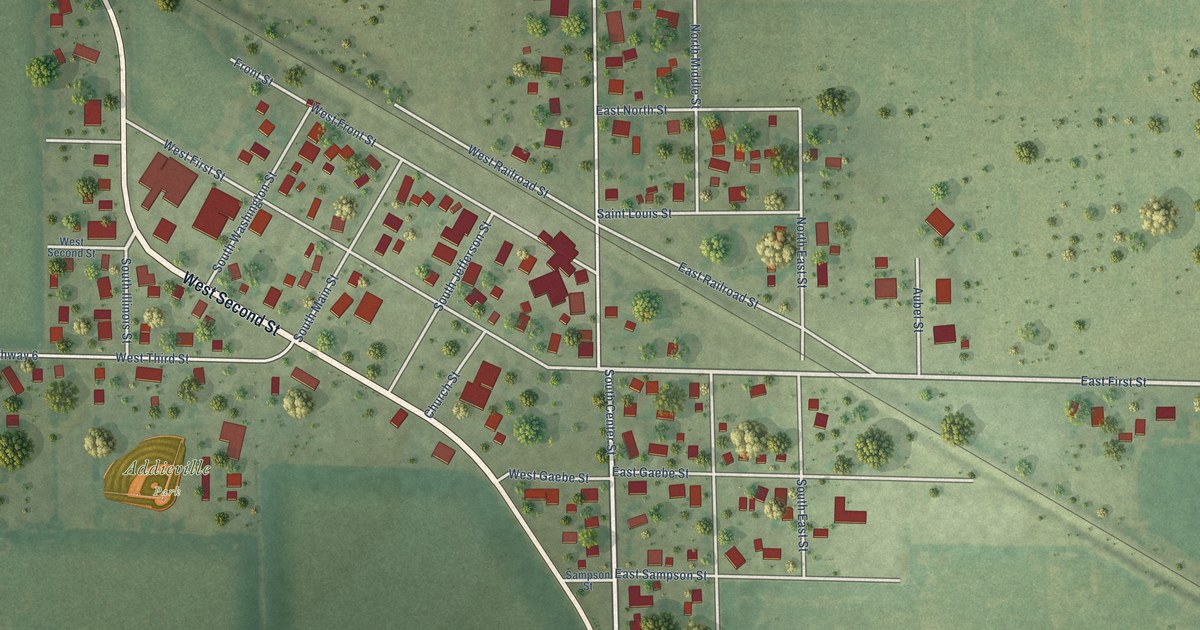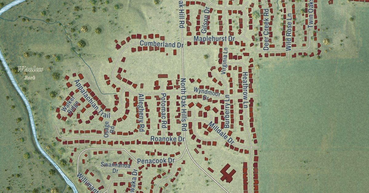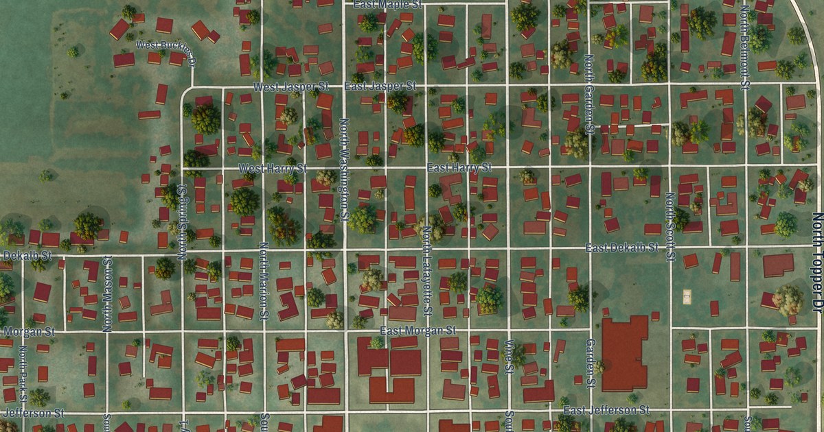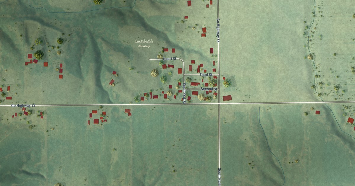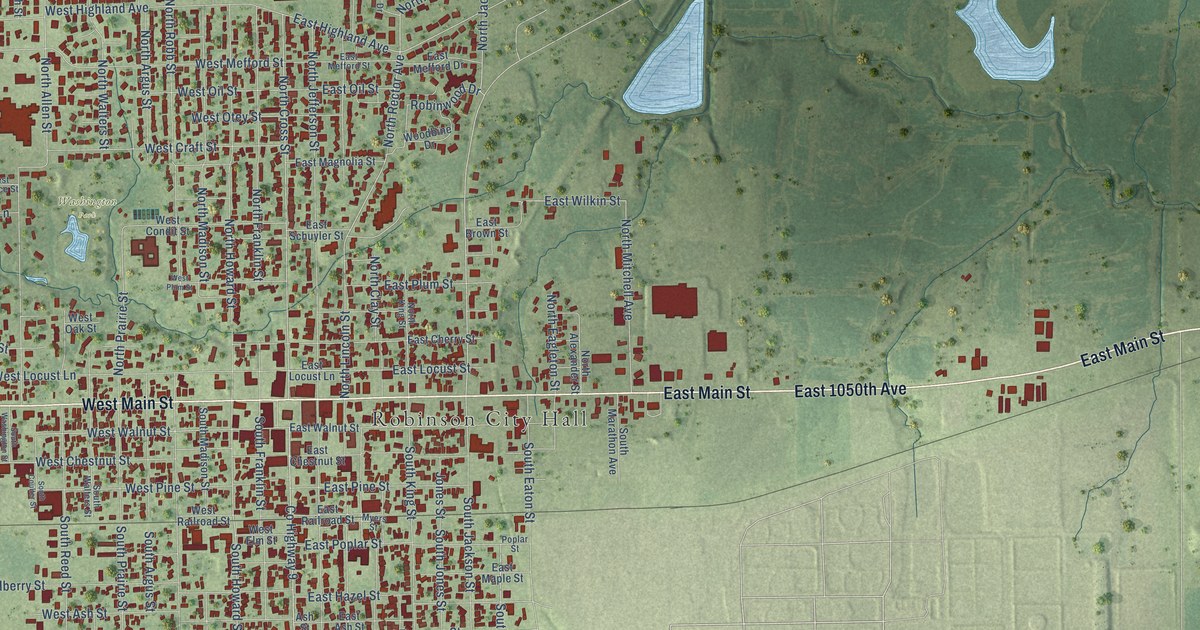
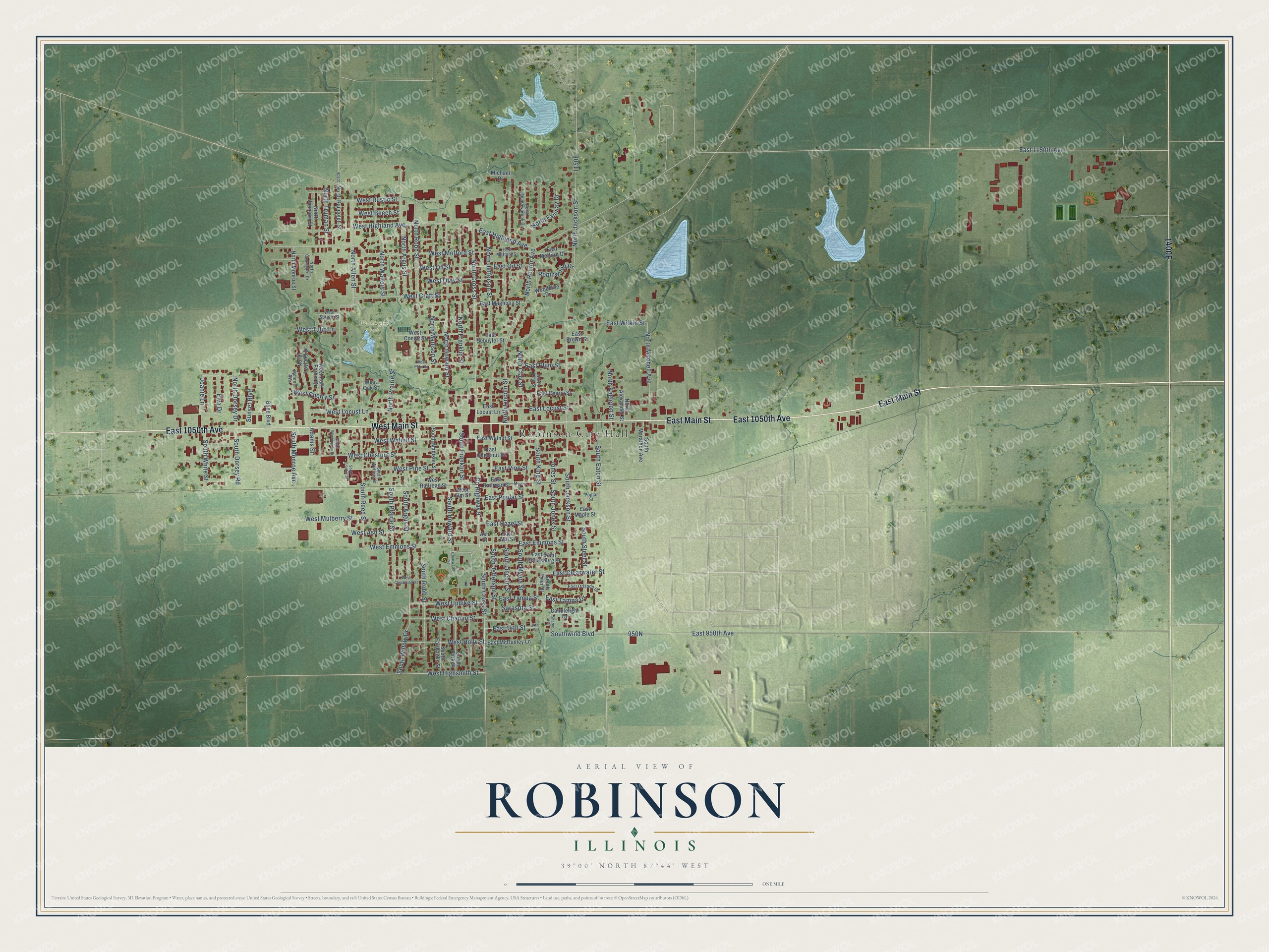
This beautifully detailed map of Robinson, Illinois was created in 2026 using aerial imagery combined with modern topographical, census, street and landmark data. It’s a one-of-a-kind view of Robinson that combines accurate data with a vintage aesthetic. The map shows every building in its true location, many of the roads carry their names, and the shaded topographic relief shows the shape of the land.
Explore an aerial view of Robinson, Illinois
On the map you’ll find Robinson City Hall, Washington Park, 1400E, and 950N, along with East Main Street, East 1050th Avenue, West Main Street, East 950th Avenue, Southwind Boulevard, South Cross Street, West Highsmith Street, West Cherry Street, and more. If you look closely you can even find your house accurately drawn in its correct location. Zoom in on the preview to look for yours.
Did you know this piece of Robinson, Illinois history?
The Heath bar began in Robinson. In 1913 schoolteacher L.S. Heath bought a candy shop there for his oldest sons, Bayard and Everett. The brothers opened a candy store, ice cream parlor and candy plant in one in 1914. In 1928 they began selling their toffee locally as Heath English Toffee.
Take a closer look at the Robinson map
Street and place names on the Robinson, Illinois map
These names are printed on the map of Robinson, Illinois.
Places: Robinson City Hall and Washington Park.
Streets and roads: East Main Street, East 1050th Avenue, West Main Street, East 950th Avenue, Southwind Boulevard, South Cross Street, West Highsmith Street, West Cherry Street, South Steel Street, East Tampa Drive, Joanie Lane, North Cross Street.
More street names, A to Z
14th Street, Adams Street, Ash Street, Bline Boulevard, Candlelight Drive, Clearwater Street, County Highway 9, East 14th Street, East 1150th Avenue, East Ash Street, East Brown Street, East Cherry Street, East Chestnut Street, East Clearwater Street, East Emmons Street, East Hazel Street, East Highland Avenue, East Locust Lane, East Locust Street, East Magnolia Street, East Maple Street, East McDudley Lane, East Mefford Drive, East Mefford Street, East Oil Street, East Orlando Drive, East Pine Street, East Plum Street, East Poplar Street, East Railroad Street, East Saint Petersburg Street, East Schuyler Street, East Tampa Street, East Walnut Street, East Wilkin Street, Elva Drive, Jones Street, Michael Drive, Monroe Avenue, Myers Street, North Alexander Street, North Allen Street, North Argus Street, North Clay Street, North Courtyard Drive, North Dorsey Drive, North Eagleton Street, North Fairway Drive, North Franklin Street, North Howard Street, North Jackson Street, North Jefferson Street, North Johnson Street, North King Street, North Lincoln Street, North Loyland Drive, North Madison Street, North Meadowbrook Drive, North Mitchell Avenue, North Monroe Street, North Prairie Street, North Randolph Street, North Rector Avenue, North Robb Street, North Truman Street, North Walters Street, Poplar Street, Robinwood Drive, Sarasota Street, Sharon Avenue, South Argus Street, South Coulter Street, South Dorsey Road, South Eaton Street, South Fairbanks Street, South Franklin Street, South Howard Street, South Jackson Street, South Jefferson Street, South Jones Street, South King Street, South Lincoln Street, South Madison Street, South Marathon Avenue, South Monroe Avenue, South Myers Street, South Park Street, South Prairie Street, South Reed Street, South Robb Street, South Tyler Street, South Walters Street, South Washington Street, South White Street, South Willow Drive, Sunset Boulevard, West Ash Street, West Beech Street, West Chaplin Street, West Chestnut Street, West Clearwater Street, West Condit Street, West Craft Street, West Elm Street, West Emmons Street, West Highland Avenue, West Holly Street, West Locust Lane, West Mefford Street, West Mulberry Street, West Oak Street, West Oil Street, West Otey Street, West Park Forest Drive, West Pine Street, West Plum Street, West Railroad Street, West Rustic Street, West Spruce Street, West Tulip Lane, West Updike Street, West Walnut Street, Woodbine Drive.
See the Robinson, Illinois map on a wall
The Robinson map as an 18 x 24 inch print in a black frame.

This beautifully detailed map of Robinson makes an attractive addition to your office, library, or den, and it can even be used to teach children the geography and history of the area. It also makes a great gift for anyone who grew up in Robinson or moved away. When you’re done exploring, click here to get your copy of the Robinson map.