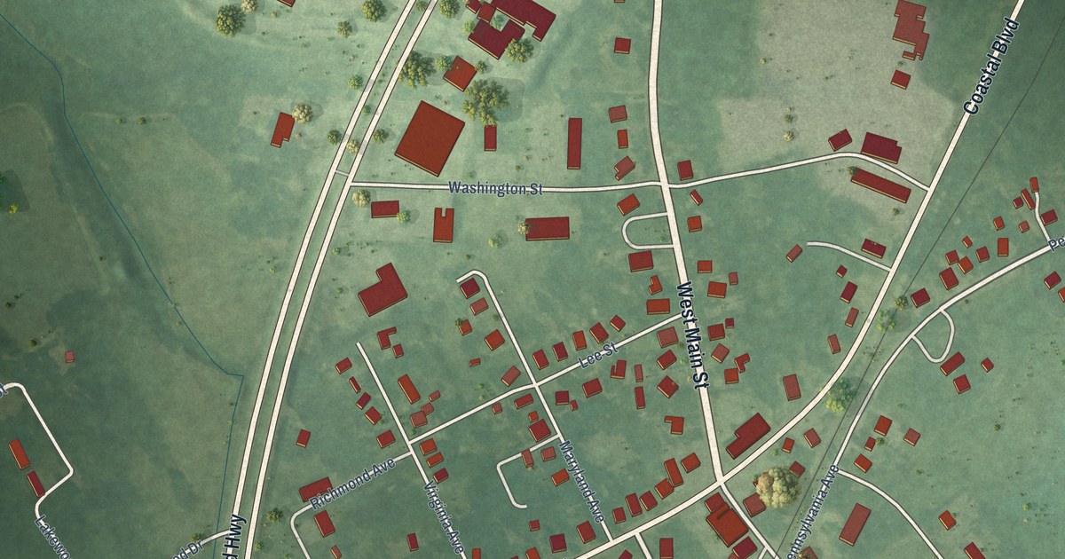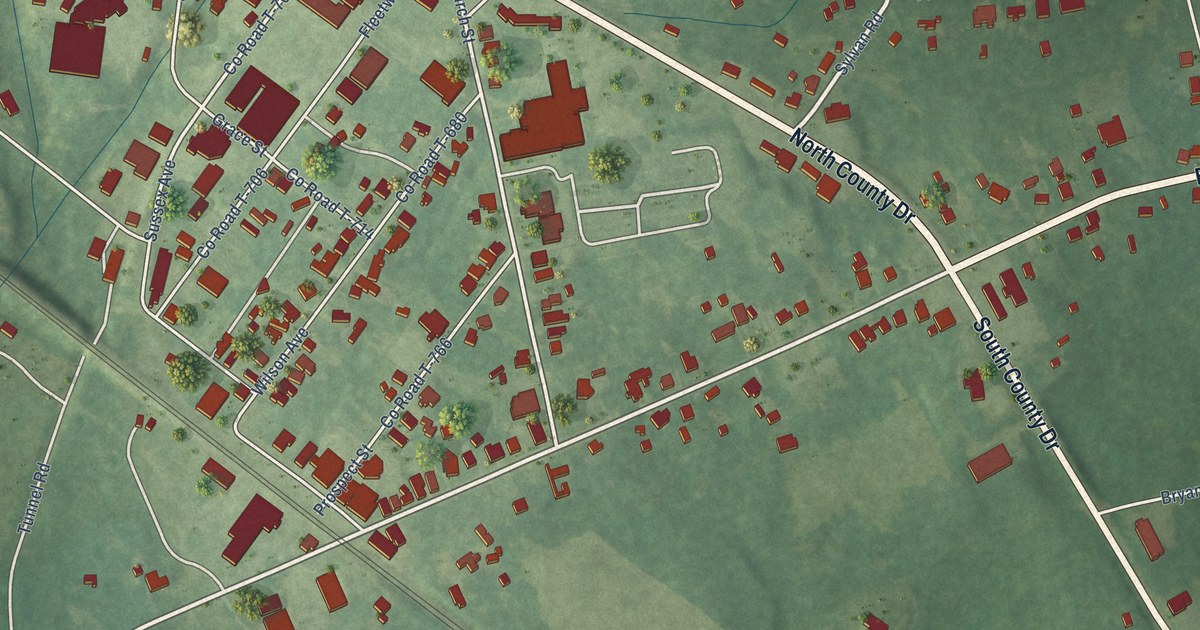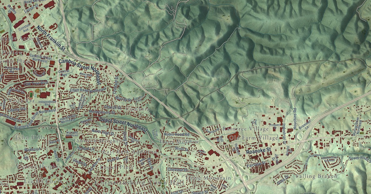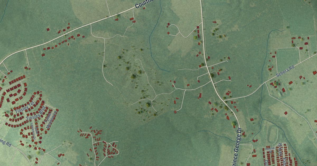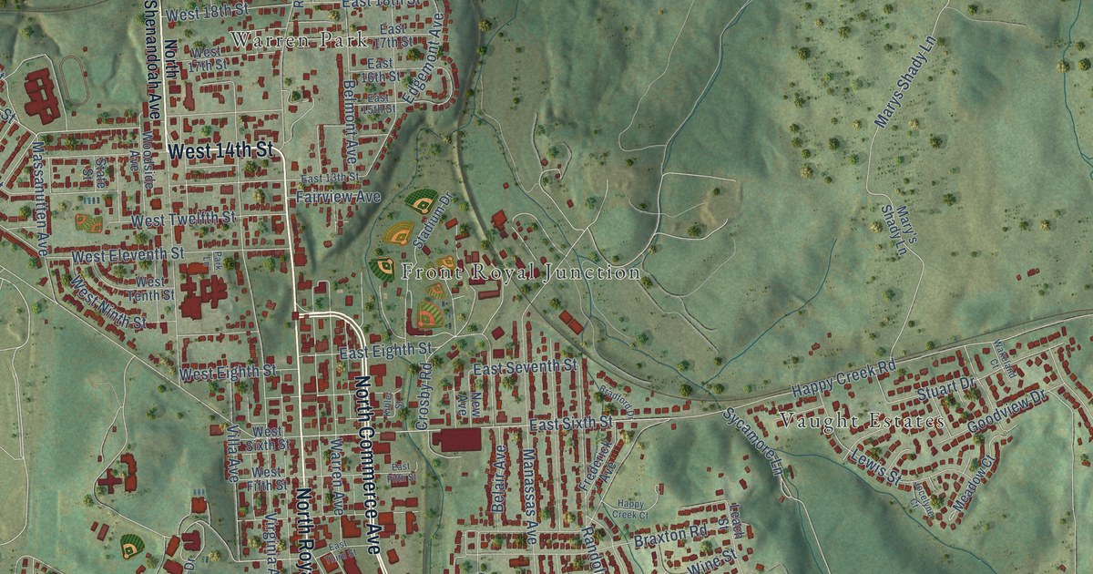
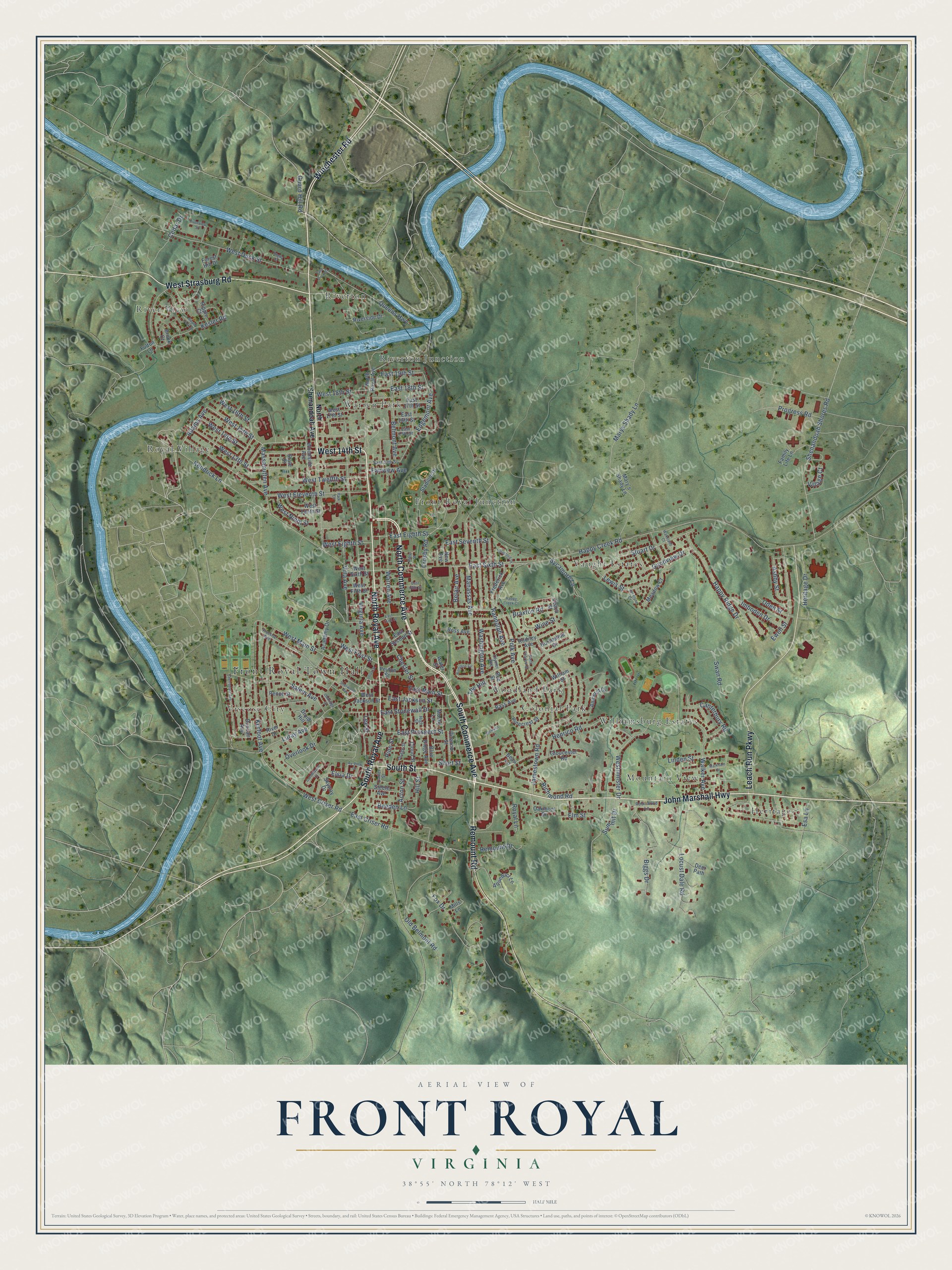
This beautifully detailed map of Front Royal, Virginia was created in 2026 using aerial imagery combined with modern topographical, census, street and landmark data. It’s a one-of-a-kind view of Front Royal that combines accurate data with a vintage aesthetic. The map shows every building in its true location, many of the roads carry their names, and the shaded topographic relief shows the shape of the land.
Explore an aerial view of Front Royal, Virginia
On the map you’ll find Front Royal Town Hall, Colonial Park, Front Royal Junction, Heritage, Mountain View, River View, Riverton, Riverton Junction, Royal Village, Vaught Estates, Viscose City, Warren Park, and more. If you look closely you can even find your house accurately drawn in its correct location. Zoom in on the preview to look for yours.
Did you know this piece of Front Royal, Virginia history?
From the Virginia A Guide to the Old Dominion: "Front Royal, chartered in 1788, was at first a frontier village, called ‘ Hell Town,' on the packhorse road to the north. Two legends account for the name Front Royal."
Take a closer look at the Front Royal map
Street and place names on the Front Royal, Virginia map
These names are printed on the map of Front Royal, Virginia.
Places: Front Royal Town Hall, Colonial Park, Front Royal Junction, Heritage, Mountain View, River View, Riverton, Riverton Junction, Royal Village, Vaught Estates, Viscose City, Warren Park, Williamsburg Estates and Woodland Park.
Streets and roads: South Commerce Avenue, North Royal Avenue, West 14th Street, North Commerce Avenue, John Marshall Highway, South Royal Avenue, West Strasburg Road, Leach Run Parkway, Remount Road, South Street, Winchester Road, East Main Street.
More street names, A to Z
Academy Drive, Acton Street, Adams Avenue, Amherst Drive, Aqueduct Lane, Ashby Street, Ay-View Drive, Bass Avenue, Beau Lane, Beeden Lane, Bee Street, Belair Avenue, Belmont Avenue, Biggs Drive, Blue Ridge Avenue, Bradford Drive, Braxton Road, Brook Court, Canterbury Road, Carter Street, Cedar Drive, Cherrydale Avenue, Chester Street, Cloud Street, Clymer Avenue, Cresthaven Court, Crosby Road, Deer Path, Druid Hill, Duncan Avenue, East 13th Street, East 15th Street, East 16th Street, East 17th Street, East 18th Street, East 19th Street, East Criser Road, East Duck Street, East Eighth Street, East Fifth Street, East Jackson Street, East Prospect Street, East Second Street, East Seventh Street, East Sixth Street, East Stonewall Drive, East Third Street, Edgemont Avenue, Elm Street, Elsia Drive, Esa Lane, Ewell Street, Fairview Avenue, Family Life Lane, Forest Hill Drive, Fox Drive, Frederick Avenue, Fulton Lane, Gloucester Road, Goodview Drive, Guard Hill Road, Hamilton Circle, Happy Creek Court, Happy Creek Road, Happy Ridge Drive, Henrico Road, Heritage Drive, High Street, Hill Street, Horseshoe Drive, Imboden Drive, Jackson Lane, Jamestown Road, Jocelyne Court, Kendrick Lane, Kerfoot Avenue, Kesler Road, Kibler Street, Leach Street, Lee Street, Lewis Street, Linden Street, Locust Dale Road, Luray Avenue, Manassas Avenue, Markham Street, Mary's Shady Lane, Marys Shady Lane, Massanutten Avenue, Meadow Court, Mills Lane, Mosby Lane, New Avenue, North Charles Street, North Shenandoah Avenue, Oakmont Drive, Oakridge Court, Oden Street, Old Belmont Road, Osage Street, Overlook Drive, Park Lane, Pence Street, Peyton Street, Pinecrest Street, Pine Street, Polk Avenue, Progress Road, Queens Highway, Randolph Avenue, Remount Drive, Richmond Road, Ripple Court, Ritenour Street, River Drive, Riverside Drive, Riverview Street, Robinhood Lane, Rodney Avenue, Ross Avenue, Royal Lane, Rugby Street, Salem Avenue, Shenandoah Shores Road, Sherwood Avenue, Short Street, Skyway Drive, South Fork Drive, Stadium Drive, State Street, Steele Avenue, Stuart Drive, Summit Drive, Swan Road, Sycamore Lane, The Hill, Union Street, Villa Avenue, Village Court, Virginia Avenue, Viscose Avenue, Wakeland Court, Walker Avenue, Warren Avenue, Washington Avenue, Water Street, West 13th Street, West 15th Street, West 16th Street, West 17th Street, West 18th Street, West Criser Road, West Duck Street, West Eighth Street, West Eleventh Street, West Fifth Street, West First Street, West Jackson Street, West Main Street, Westminster Drive, West Ninth Street, West Sixth Street, West Tenth Street, West Twelfth Street, William Street, Wine Street, Woodside Avenue.
See the Front Royal, Virginia map on a wall
The Front Royal map as an 18 x 24 inch print in a black frame.

This beautifully detailed map of Front Royal makes an attractive addition to your office, library, or den, and it can even be used to teach children the geography and history of the area. It also makes a great gift for anyone who grew up in Front Royal or moved away. When you’re done exploring, click here to get your copy of the Front Royal map.