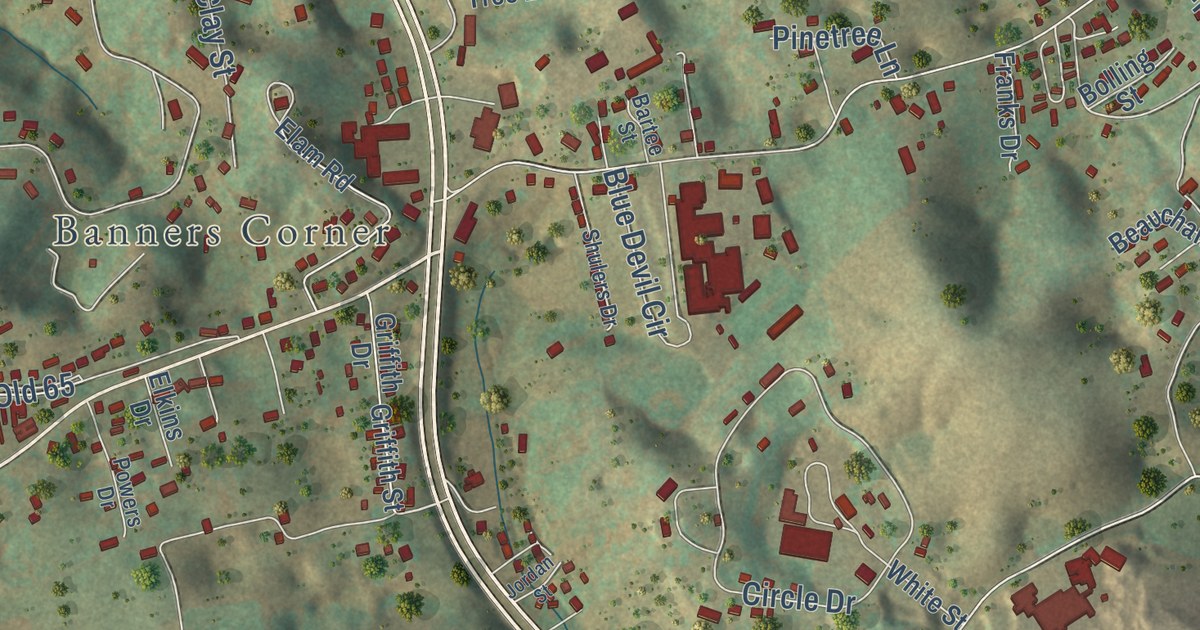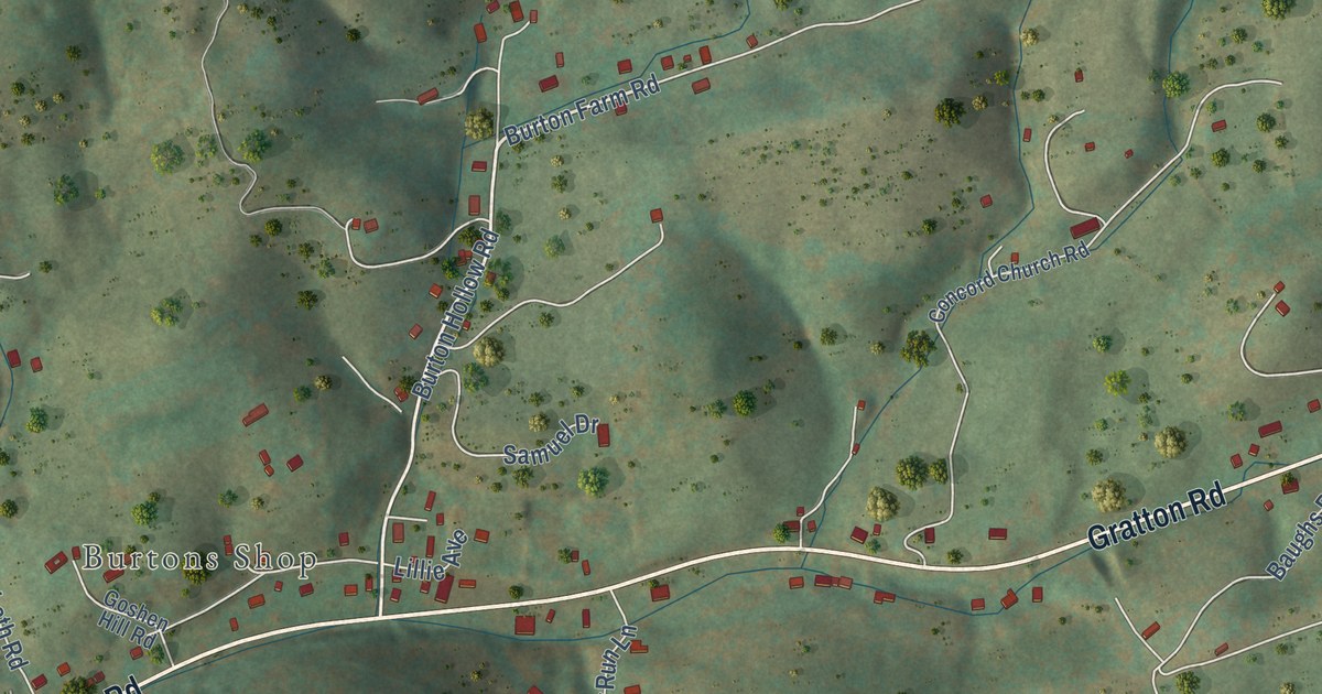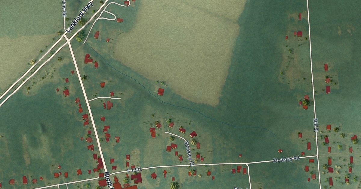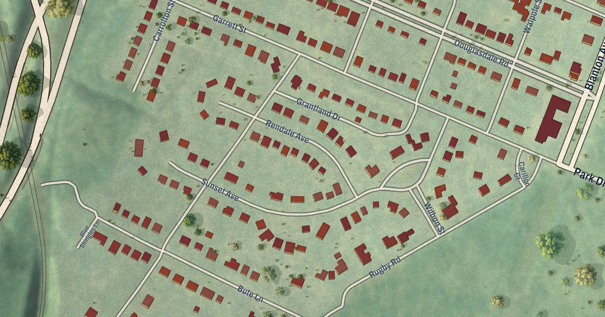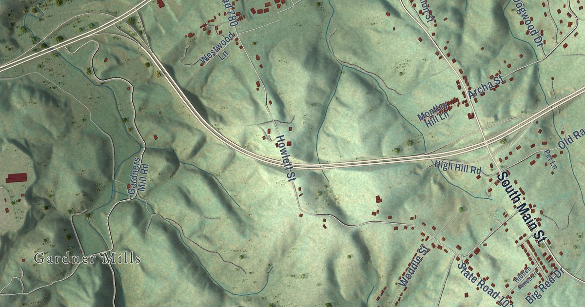
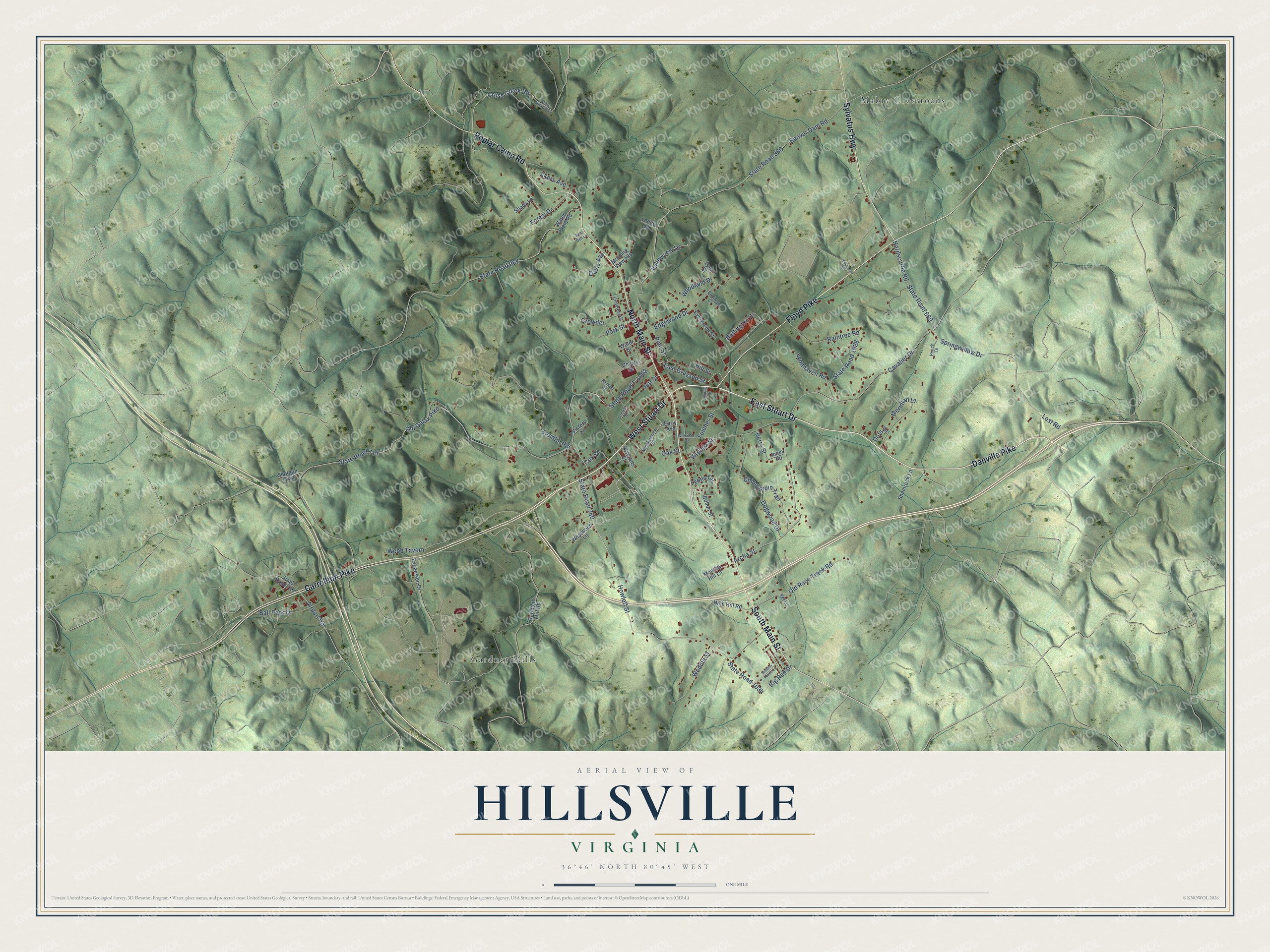
This beautifully detailed map of Hillsville, Virginia was created in 2026 using aerial imagery combined with modern topographical, census, street and landmark data. It’s a one-of-a-kind view of Hillsville that combines accurate data with a vintage aesthetic. The map shows every building in its true location, many of the roads carry their names, and the shaded topographic relief shows the shape of the land.
Explore an aerial view of Hillsville, Virginia
On the map you’ll find Gardner Mills and Mabry Crossroads, along with East Stuart Drive, West Stuart Drive, Danville Pike, South Main Street, North Main Street, Carrollton Pike, Floyd Pike, Sylvatus Highway, Poplar Camp Road, Old Race Track Road, and more. If you look closely you can even find your house accurately drawn in its correct location. Zoom in on the preview to look for yours.
Did you know this piece of Hillsville, Virginia history?
From Vcris.dhr.virginia.gov: "Local tradition holds that the controversy over the new county's name was resolved when there was agreement to honor Charles Carroll of Carrollton in Maryland, the last surviving signer of the Declaration of Independence."
Take a closer look at the Hillsville map
Street and place names on the Hillsville, Virginia map
These names are printed on the map of Hillsville, Virginia.
Places: Gardner Mills and Mabry Crossroads.
Streets and roads: East Stuart Drive, West Stuart Drive, Danville Pike, South Main Street, North Main Street, Carrollton Pike, Floyd Pike, Sylvatus Highway, Poplar Camp Road, Old Race Track Road, Old Galax Pike, State Road 714.
More street names, A to Z
Airport Road, Akers Avenue, Archa Street, Ball Park Drive, Bear Den Lane, Beaver Dam Road, Berry Street, Big Red Drive, Bohon Street, Burlington Drive, Cavalier Drive, Cherry Street, Childress Street, Chinquapin Trail, Cochran Court, Cox Street, Cross Creek Road, Crowder, Davis Avenue, Dogwood Drive, Dots Drive, Early Avenue, East Grayson Street, Edgewood Drive, Evergreen Street, Expansion Drive, Forest Drive, Fulcher Street, Gardners Mill Road, Hardscuffle Road, Hidden Pines Lane, High Hill Road, Hill Street, Howlett Street, Industrial Drive, Jett Street, Jones Road, Landfill Road, Locust Street, Lodge Lane, Lost Road, Lynnhaven Road, Lynn Street, Lyons Circle, Meadowview Drive, Meridian Lane, Montley Hill Lane, Morning View Heights, Oak Street, Park Street, Peach Lane, Pet Lane, Pine Street, Raintree Road, Random Road, Shady Lane, Shamrock Lane, Shotgun Trail, Springwillow Drive, State Road 669, State Road 743, State Road 780, State Road 881, State Road 886, State Road 962, State Road 1028, State Road 1034, State Road T-1002, Sunrise Street, Valleyview Drive, Veterans Street, Victory Lane, Virginia Street, Water Plant Road, Water Street, Webb Tavern, Weddle Street, Westwood Lane, Wilkinson Drive, Woodland Drive.
See the Hillsville, Virginia map on a wall
The Hillsville map as an 18 x 24 inch print in a black frame.

This beautifully detailed map of Hillsville makes an attractive addition to your office, library, or den, and it can even be used to teach children the geography and history of the area. It also makes a great gift for anyone who grew up in Hillsville or moved away. When you’re done exploring, click here to get your copy of the Hillsville map.