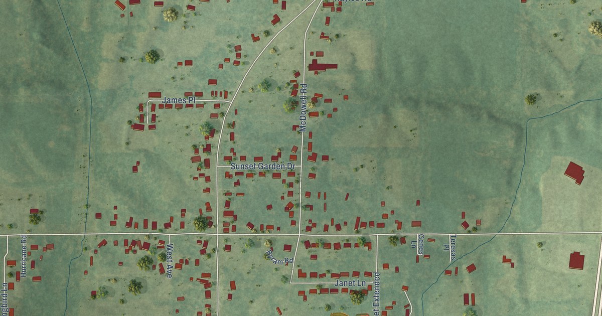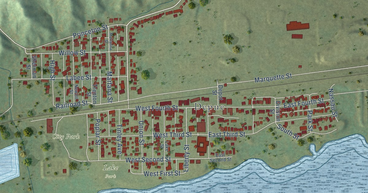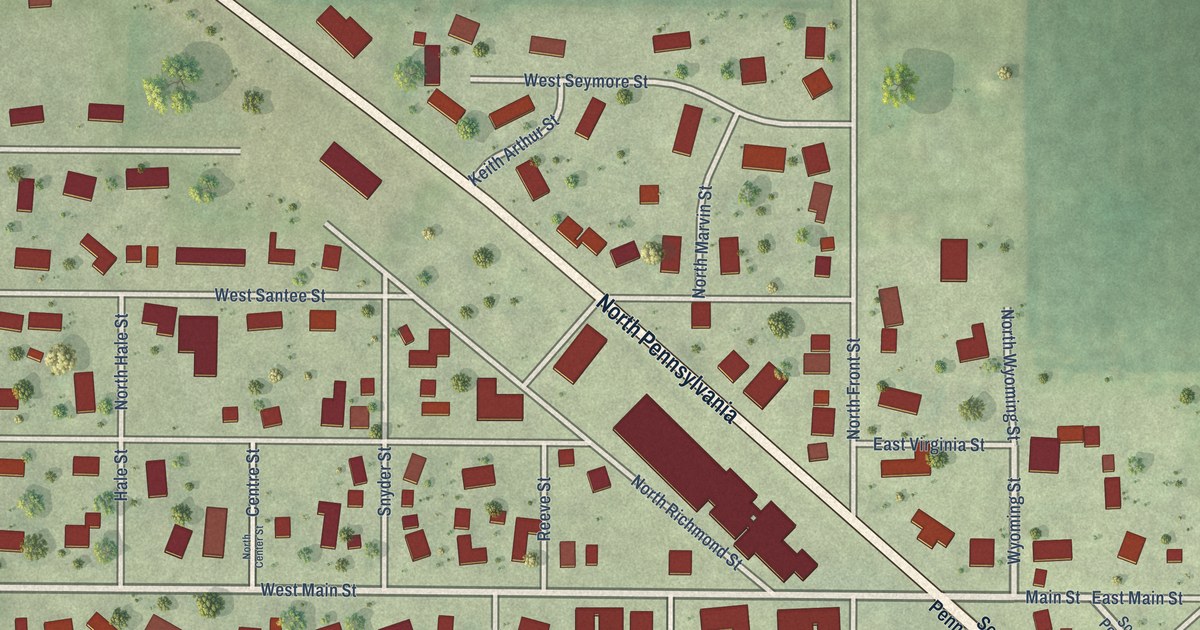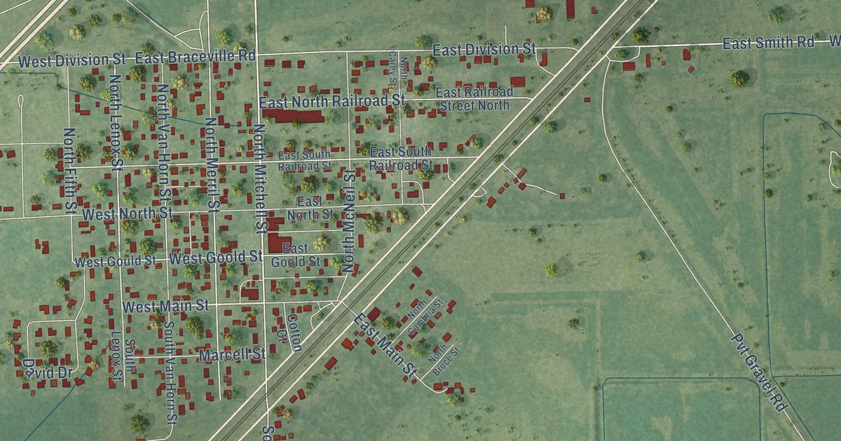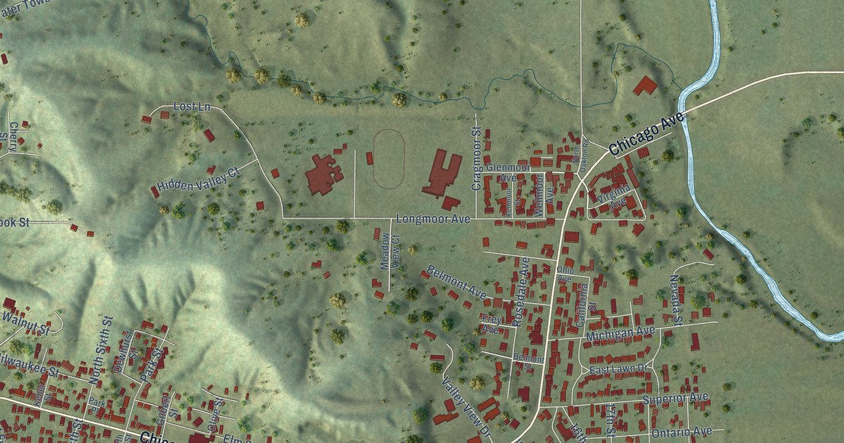
This beautifully detailed map of Savanna, Illinois was created in 2026 using aerial imagery combined with modern topographical, census, street and landmark data. It’s a one-of-a-kind view of Savanna that combines accurate data with a vintage aesthetic. The map shows every building in its true location, many of the roads carry their names, and the shaded topographic relief shows the shape of the land.
Explore an aerial view of Savanna, Illinois
On the map you’ll find Main Street, North Main Street, Chicago Avenue, Viaduct Road, West Main Street, Clay Street, Webster Street, North Fifth Street, Diagonal Street, Bowen Street, South Street, South Fourth Street, and more. If you look closely you can even find your house accurately drawn in its correct location. Zoom in on the preview to look for yours.
Did you know this piece of Savanna, Illinois history?
From the Carroll County History: "The first orchard was planted by Aaron Pierce, on the site of his old home on block 33 in the village of Savanna, in 1838."
Take a closer look at the Savanna map
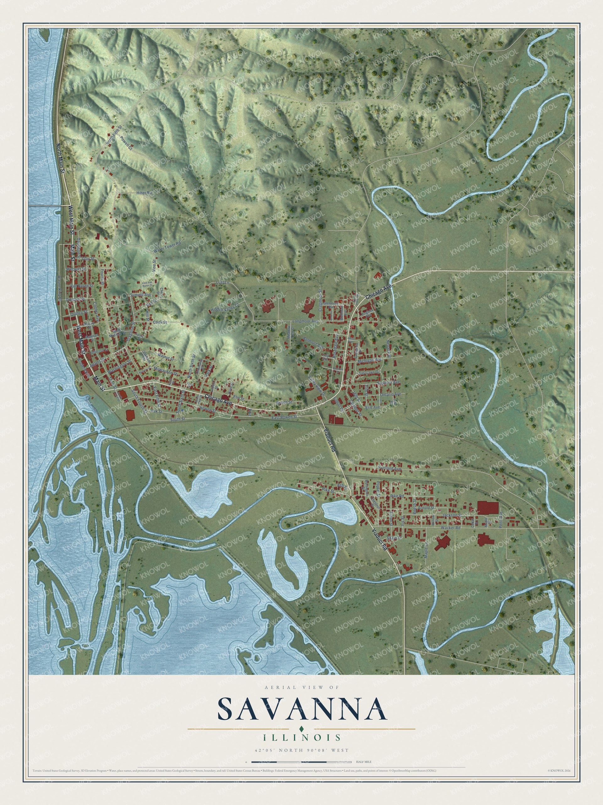
Street names on the Savanna, Illinois map
These names are printed on the map of Savanna, Illinois.
Streets and roads: Main Street, North Main Street, Chicago Avenue, Viaduct Road, West Main Street, Clay Street, Webster Street, North Fifth Street, Diagonal Street, Bowen Street, South Street, South Fourth Street.
More street names, A to Z
16th Street, 17th Street, 18th Street, 19th Street, Adams Street, Arnold Street, Ash Street, Beech Street, Belmont Avenue, Belmont Street, Bench Street, Broderick Drive, Burlington Street, California Street, Calumet Street, Cedar Street, Cherry Street, Chestnut Street, Cook Street, Cooley Avenue, Cragmoor Street, Davidson Street, Dewhurst Street, Division Street, East Bowen Street, East Fifth Street, East Lawn Drive, East Van Buren Street, Eaton Street, Elm Street, Erie Avenue, Fourth Street, Frey Avenue, Gilbert Street, Glenmoor Avenue, Hidden Valley Court, Hiher Road, Hill Street, Iris Street, Jackson Street, Jefferson Street, Keller Street, Kenmoor Street, Longmoor Avenue, Lost Lane, Madison Street, Maple Lane, Maple Street, Meadow View Court, Michigan Avenue, Milwaukee Street, Mulberry Street, Murray Street, Nevada Street, North Oakton Road, North Sixth Street, Oak Street, Oakwood Heights, Ohio Avenue, Olive Street, Ontario Avenue, Park Place, Park Street, Penn Avenue, Pike, Pike Road, Pike Street, Poplar Street, Portland Avenue, Powell Court, Quincy Street, Rosedale Avenue, Skain Drive, South Park Street, South Sixth Street, South Third Street, Spring Street, Summit Avenue, Superior Avenue, Third Street, Valley View Drive, Van Buren Street, Van Street, Vine Street, Virginia Avenue, Wacker Road, Walnut Street, Washington Street, Water Tower Road, Wayne King Drive, Wellmoor Avenue, West Madison Street, Willow Street.
See the Savanna, Illinois map on a wall
The Savanna map as an 18 x 24 inch print in a black frame.

This beautifully detailed map of Savanna makes an attractive addition to your office, library, or den, and it can even be used to teach children the geography and history of the area. It also makes a great gift for someone who left Savanna and still calls it home. When you’re done exploring, click here to get your copy of the Savanna map.