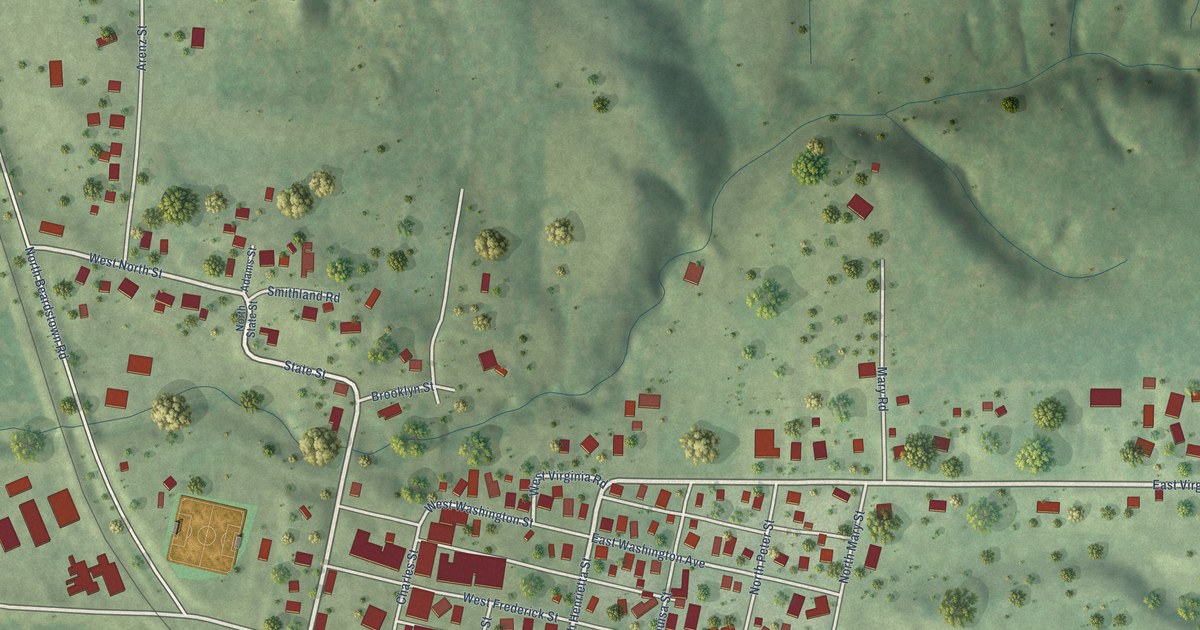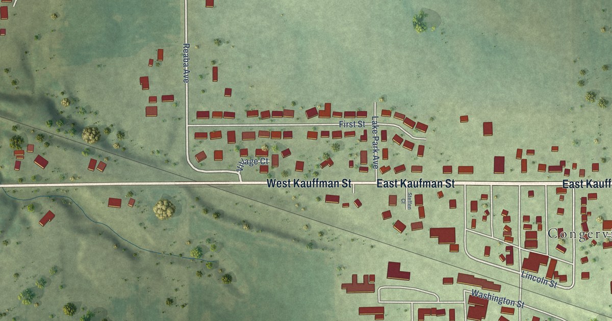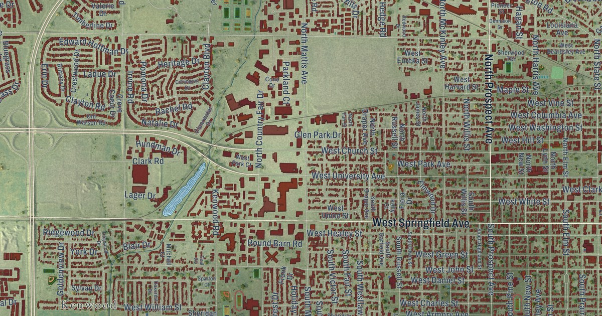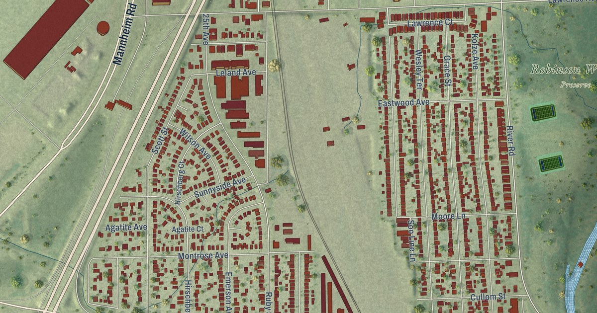
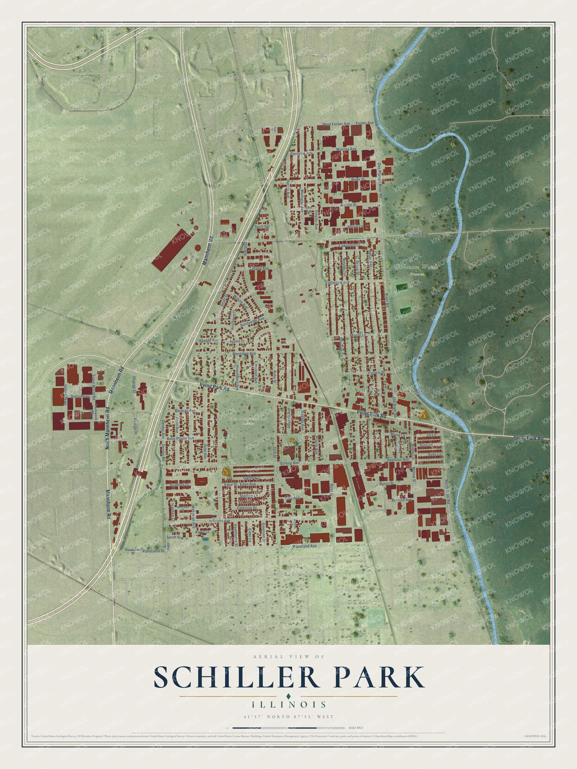
This beautifully detailed map of Schiller Park, Illinois was created in 2026 using aerial imagery combined with modern topographical, census, street and landmark data. It’s a one-of-a-kind view of Schiller Park that combines accurate data with a vintage aesthetic. The map shows every building in its true location, many of the roads carry their names, and the shaded topographic relief shows the shape of the land.
Explore an aerial view of Schiller Park, Illinois
On the map you’ll find Schiller Park Village Hall, Riverview, Eden Memorial Park Cemetery, Robinson Woods Preserve, and Stalica Park, along with Mannheim Road, Irving Park Road, North Mannheim Road, Lawrence Avenue, Rose Street, Denley Road, Lawrence Court, and more. If you look closely you can even find your house accurately drawn in its correct location. Zoom in on the preview to look for yours.
Did you know this piece of Schiller Park, Illinois history?
Edward Bluthardt, a lawyer who lived from 1916 to 1993, served as mayor of Schiller Park. He also served as a state representative in the Illinois legislature.
Take a closer look at the Schiller Park map
Street and place names on the Schiller Park, Illinois map
These names are printed on the map of Schiller Park, Illinois.
Places: Schiller Park Village Hall, Riverview, Eden Memorial Park Cemetery, Robinson Woods Preserve and Stalica Park.
Streets and roads: Mannheim Road, Irving Park Road, North Mannheim Road, Lawrence Avenue, Rose Street, Denley Road, Lawrence Court, Bobby Lane, 25th Avenue, Denley Avenue, Byron Street, Sarah Street.
More street names, A to Z
25th Street, Agatite Avenue, Agatite Court, Ainslie Street, Atlantic Avenue, Belle Plaine Avenue, Bernice Avenue, Berteau Avenue, Cary Avenue, Cullom Street, Delta Parkway, Des Plaines River Road, Dora Street, Eastwood Avenue, Eden Avenue, Eden Drive, Elder Lane, Emerson Avenue, Emerson Drive, Emerson Street, Florence Avenue, Forster Avenue, Foster Avenue, Garden Court, George Place, George Street, Goss Avenue, Grace Street, Gremley Avenue, Harold Avenue, Hartford Court, Hawthorne Street, Hirschberg Avenue, Hirschberg Court, Ivanhoe Avenue, Ivanhoe Circle, Ivanhoe Court, Jill Lane, Judd Avenue, Kawa Court, Kelvin Lane, Kolze Avenue, Leland Avenue, Linn Avenue, Marie Lane, Michigan Avenue, Montrose Avenue, Moore Lane, North River Road, Old River Road, Panorama Drive, Panoramic Drive, Pearl Street, Prairie Avenue, River Road, River Street, Ruby Street, Sally Lane, Scott Street, Seymour Avenue, Soo Line Lane, Soreng Avenue, South Avenue, Sterling Lane, Sunnyside Avenue, Susy Lane, Trans World Road, Transworld Road, United Parkway, Wagner Avenue, Waveland Avenue, Wehrman Avenue, Wehrman Place, Wesley Terrace, West Foster Avenue, Willow Street, Wilson Avenue, Winona Avenue.
See the Schiller Park, Illinois map on a wall
The Schiller Park map as an 18 x 24 inch print in a black frame.

This beautifully detailed map of Schiller Park makes an attractive addition to your office, library, or den, and it can even be used to teach children the geography and history of the area. It also makes a great gift for anyone who grew up in Schiller Park or moved away. When you’re done exploring, click here to get your copy of the Schiller Park map.