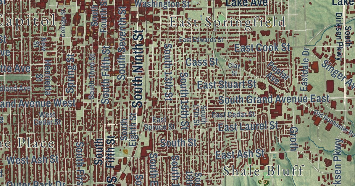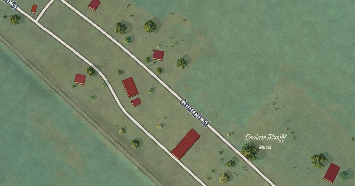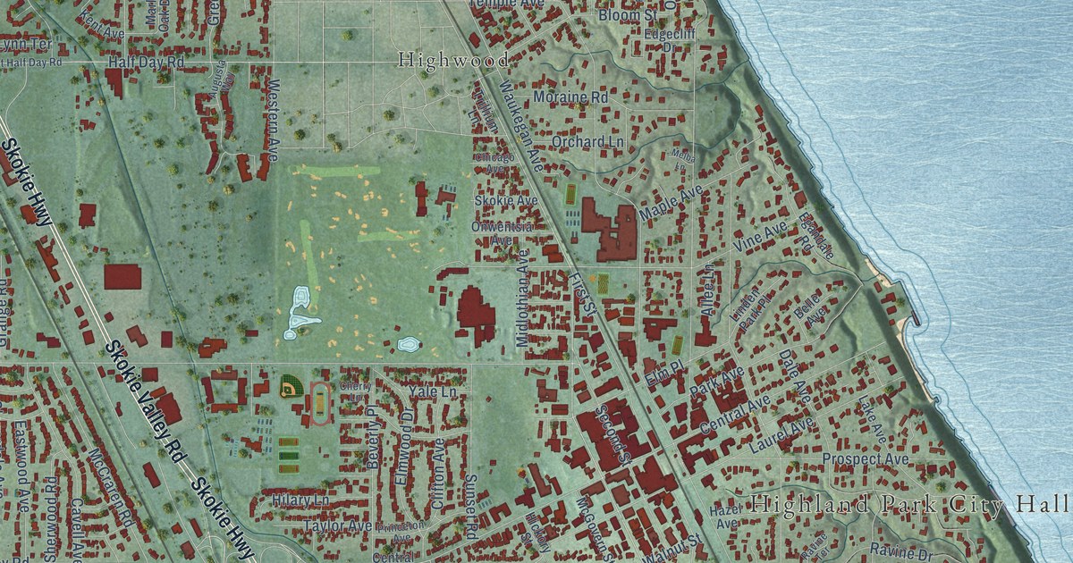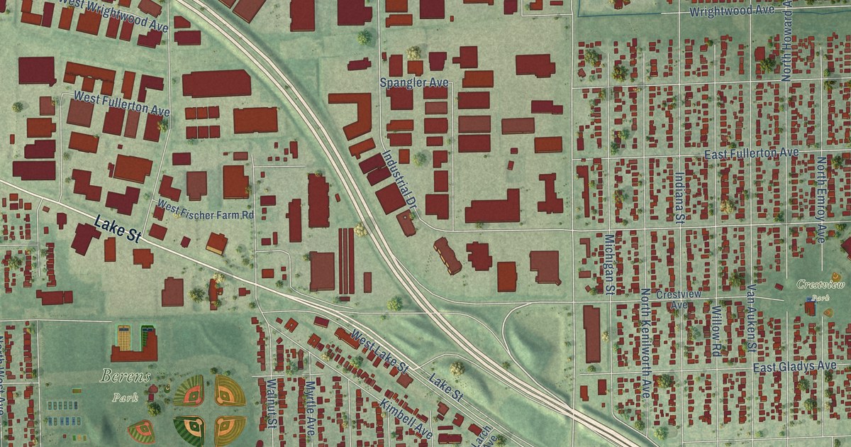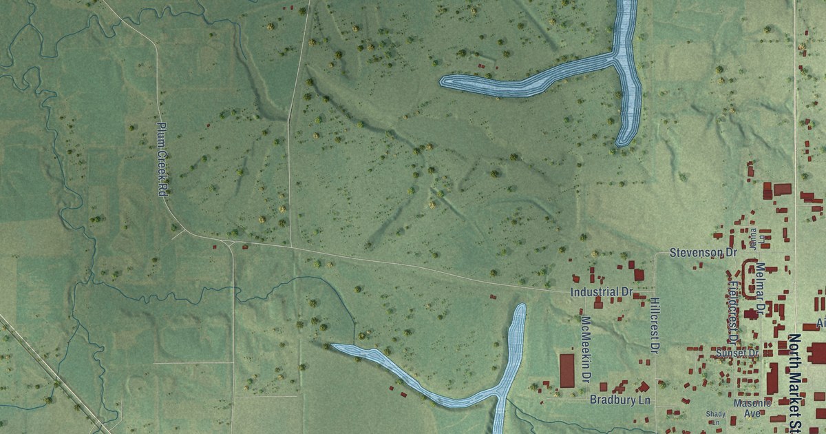
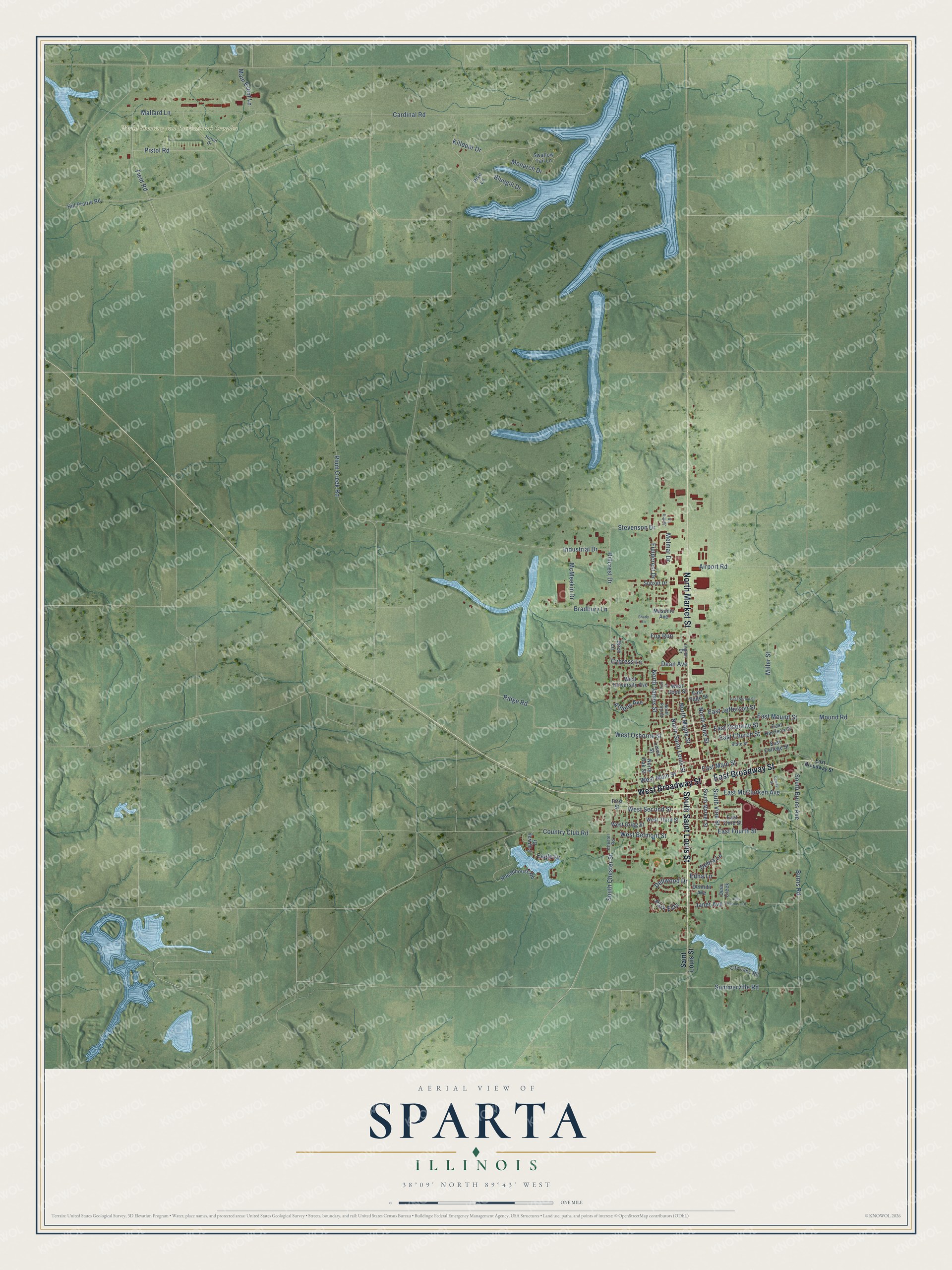
This beautifully detailed map of Sparta, Illinois was created in 2026 using aerial imagery combined with modern topographical, census, street and landmark data. It’s a one-of-a-kind view of Sparta that combines accurate data with a vintage aesthetic. The map shows every building in its true location, many of the roads carry their names, and the shaded topographic relief shows the shape of the land.
Explore an aerial view of Sparta, Illinois
On the map you’ll find World Shooting and Recreational Complex, along with South Saint Louis Street, East Broadway Street, North Market Street, West Broadway Street, Mound Road, Janet Avenue, East Mound Street, Country Club Road, East Osborne Street, Cypress Lane, Athens Avenue, and more. If you look closely you can even find your house accurately drawn in its correct location. Zoom in on the preview to look for yours.
Did you know this piece of Sparta, Illinois history?
From the History of Randolph Monroe and Perry Counties: "The first school in Sparta, was taught by John Armour Sen. in 1831. The school was kept in one end of Robert G. Shamion's warehouse, which stood north of the present old brick store."
Take a closer look at the Sparta map
Street and place names on the Sparta, Illinois map
These names are printed on the map of Sparta, Illinois.
Places: World Shooting and Recreational Complex.
Streets and roads: South Saint Louis Street, East Broadway Street, North Market Street, West Broadway Street, Mound Road, Janet Avenue, East Mound Street, Country Club Road, East Osborne Street, Cypress Lane, Athens Avenue, Cardinal Road.
More street names, A to Z
Airport Road, Allis Chalmers Drive, Birch Lane, Bluegill Drive, Bradbury Lane, Burns Road, Chester Road, City Lake Road, Dean Avenue, Debra Lane, Deer Creek, Delinda Avenue, Dellwood Drive, Dewey Street, Eagle Drive, East Braodway Street, East Church Street, East College Street, East Fourth Street, East Harrison Street, East Jefferson Street, East Main Street, East McClurken Avenue, East Page Street, East Sproul Street, East Third Street, Edna Lane, Fairway Drive, Fieldcrest Drive, Field Road, First Street, Fox Run, Heron Drive, Hillcrest Drive, Hill Prairie Road, Industrial Drive, Janna Lane, Killdeer Drive, Legion Drive, Lewis Street, Main Event Lane, Mallard Lane, Masonic Avenue, McMeekin Drive, Melmar Drive, Miller Street, Monarch Drive, North James Street, North Maple Street, North Oak Street, North Pine Street, North Saint Louis Street, North Vine Street, Park Ests, Pike Lane, Pine Street, Pistol Road, Plum Creek Road, Ridge Road, Roundhouse Road, Saint Louis Street, Shady Lane, South Burns Avenue, South Chester Street, South Market Street, South Vine Street, State Street, Stevenson Drive, Summerville Road, Sunset Drive, Swallow Tail Lane, West Belmont Street, West Grigg Street, West Hood Street, West Main Street, West Osborne Street, West Second Street, West Third Street, West University Avenue.
See the Sparta, Illinois map on a wall
The Sparta map as an 18 x 24 inch print in a black frame.

This beautifully detailed map of Sparta makes an attractive addition to your office, library, or den, and it can even be used to teach children the geography and history of the area. It also makes a great gift for anyone who grew up in Sparta or moved away. When you’re done exploring, click here to get your copy of the Sparta map.