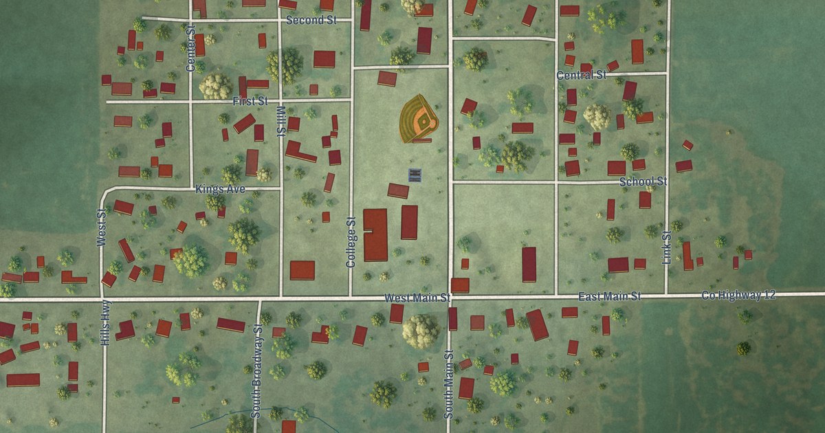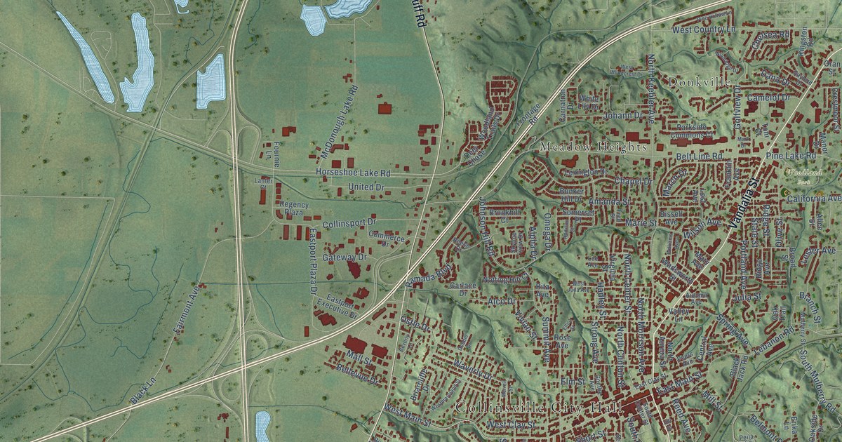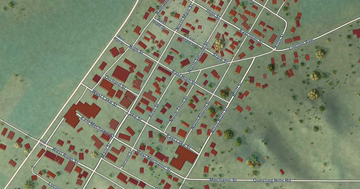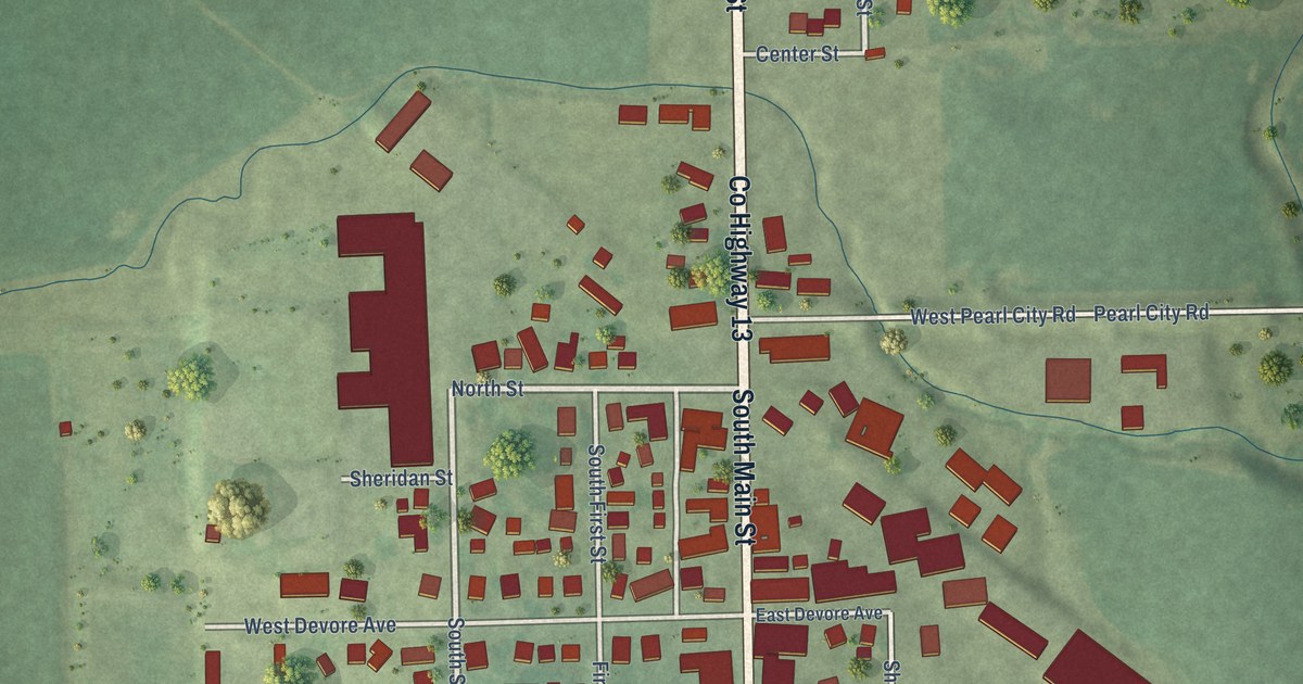
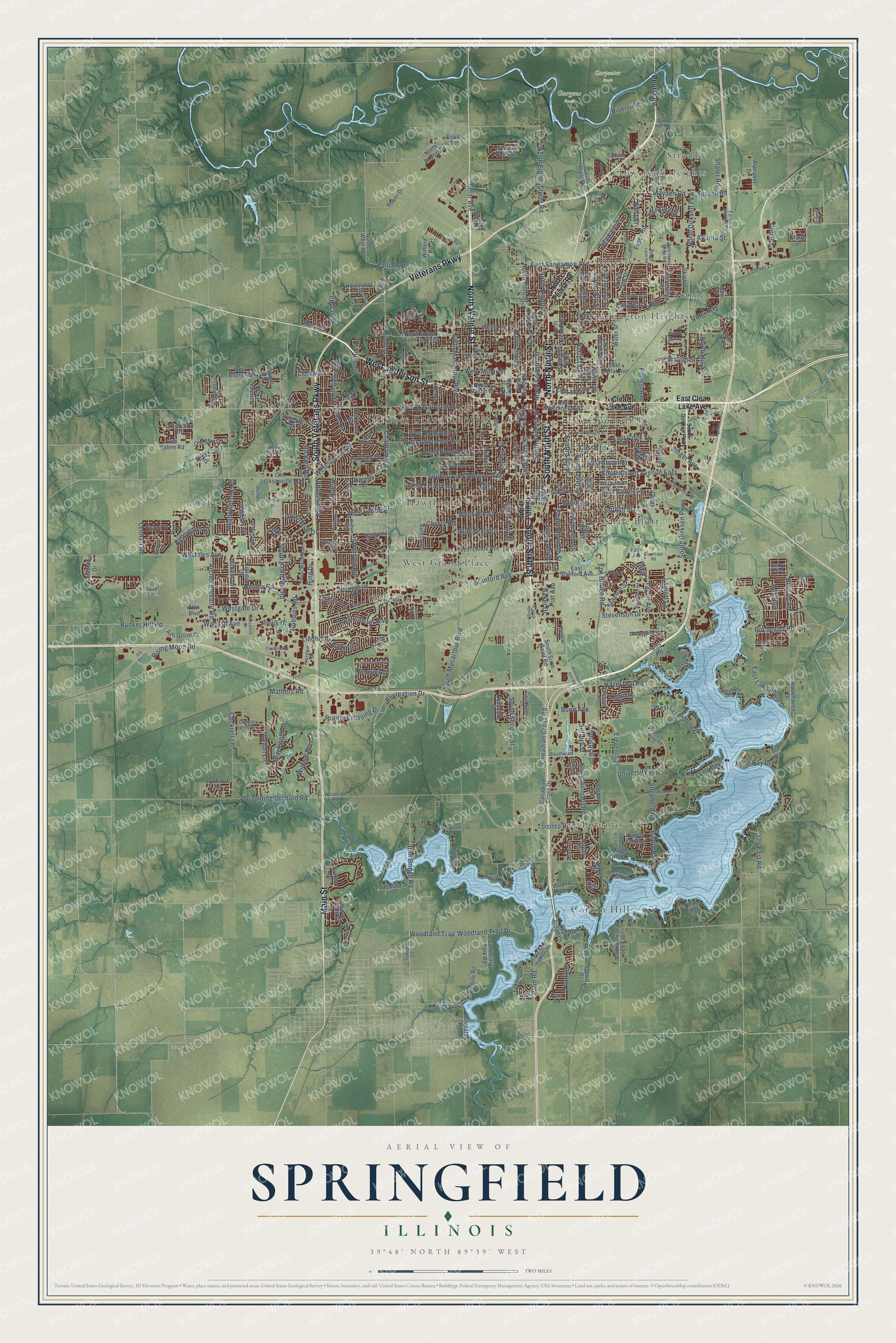
This beautifully detailed map of Springfield, Illinois was created in 2026 using aerial imagery combined with modern topographical, census, street and landmark data. It’s a one-of-a-kind view of Springfield that combines accurate data with a vintage aesthetic. The map shows every building in its true location, many of the roads carry their names, and the shaded topographic relief shows the shape of the land.
Explore an aerial view of Springfield, Illinois
On the map you’ll find Illinois State Capitol, Devereux Heights, Carpenter Park, Gurgens Park, Archer, Arlington Heights, Cody, Coleman, Cotton Hill, East Springfield, Hawthorne Place, Iles, and more. If you look closely you can even find your house accurately drawn in its correct location. Zoom in on the preview to look for yours.
Did you know this piece of Springfield, Illinois history?
From John Mason Peck: "The first house built in Springfield was erected fifteen years since. The town has increased more than half within the last three years."
Take a closer look at the Springfield map
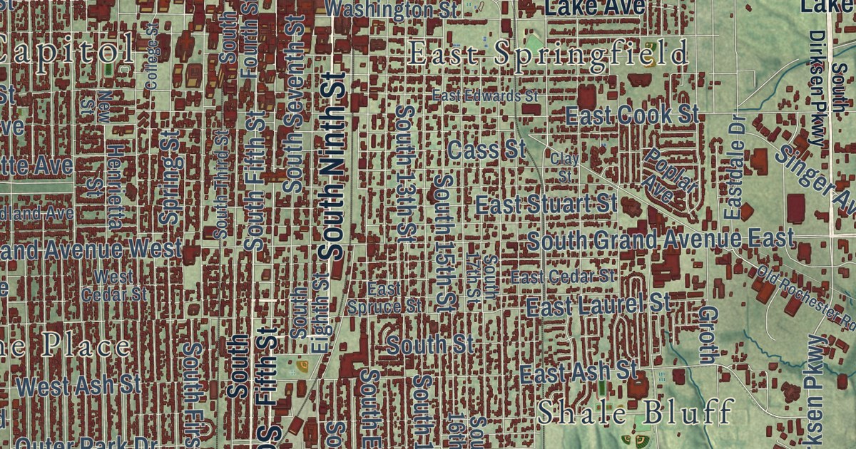
Street and place names on the Springfield, Illinois map
These names are printed on the map of Springfield, Illinois.
Places: Illinois State Capitol, Devereux Heights, Carpenter Park, Gurgens Park, Cotton Hill, Cody, Ridgely, Jess, Toronto, Shale Bluff, East Springfield, Coleman, Iles, Arlington Heights, Hawthorne Place, Archer, Starne, West Grand Place and Streadle.
Streets and roads: West Jefferson Street, North Walnut Street, South Veterans Parkway, Main Street, South Sixth Street, North Ninth Street, South Ninth Street, Veterans Parkway, West Washington Street, North Dirksen Parkway, South Fifth Street, East Sangamon Avenue.
More street names, A to Z
2.25 North Road, 200 West Road, 325 East Road, Adloff Lane, Alex Boulevard, Alphabet Drive, Appomattox Drive, Archer Avenue, Archer Elevator Road, Argonne Avenue, Ash Grove Drive, Ashley Lane, Atlanta Street, Augusta Drive, Austin Drive, Baker Drive, Barberry Drive, Barrington Drive, Bates Avenue, Bay Ridge Lane, Bellerive Road, Birch Drive, Birkdale Drive, Bissell Road, Blackwolf Road, Bontjes, Brent Drive, Brighton Road, Bruns Lane, Buford Street, Bunker Hill Road, Bunn Avenue, Canadian Cross Drive, Canadian Cross Road, Cash River Road, Cass Street, Catalina Lane, Celeste Court, Centennial Drive, Chapel Hill Road, Chase Drive, Chatham Road, Cherry Road, Chip Avenue, Churchill Road, Cider Mill Lane, Clay Street, Clear Lake Avenue, Clearwater Lane, Clipper Road, Cockrell Lane, College Street, Color Plant Road, Colt Road, Constitution Drive, Cory Drive, County Highway 22, County Highway 40, County Highway 125 East, Crane Drive, Creek Drive, Crows Mill Lane, Croydon Drive, Crystal Spring Drive, Delaware Drive, Destiny Drive, Devonwood, Diane Court, Dickens Drive, Dickinson Road, Dunwich Street, East Ash Street, East Black Avenue, East Cedar Street, East Clear Lake Avenue, East Cook Street, Eastdale Drive, East Edwards Street, East Elm Street, East Lake Shore Drive, East Laurel Street, East Mason Street, East Moffat Avenue, East Spruce Street, East Stanford Avenue, East Stuart Street, East Washington Street, Eleventh Street, Estill Drive, Fairfield Drive, Faith Avenue, Farmers Market Road, Fiat Avenue, Forest Ridge, Forrest Avenue, Fox Bridge Road, Foxhall Lane, Freedom Drive, Fuqua Drive, Gaines Mill Road, Gilreath Road, Golf Road, Greenbriar Drive, Groth, Harbor Landing, Harrier Road, Haverford Road, Hayley Court, Hazel Dell, Hazel Dell Road, Hedge Lane Road, Hedley Road, Henrietta Street, Hermitage Road, Hill Top Road, Hoechester Road, Hollis Drive, Horseshoe Drive, Hosta Street, Hunt Road, Idlewild Lane, Industrial Drive, Interlacken Drive, Iron Bridge Road, Island Bay Lane, Island View Lane, Ivyton Drive, Jade Lane, Jeffory Street, Kenyon Drive, Kerry Boulevard, Keys Avenue, Kipling Drive, Lakewood Drive, Lenhart Road, Lick Creek Lane, Lincolnshire Boulevard, Lindbergh Boulevard, Linden Lane, Long Bay, Long Bay Drive, Longfellow Drive, Lumber Lane, Lynhurst Road, Maple Grove, Maple Grove Lane, Marie Drive, Marryat Drive, Mathers Road, Mayden Road, Meadowbrook Road, Mercantile Drive, Mesa Road, Miller Road, Milton Manor, Montvale Drive, Natchez Trce, New Street, Normandy Road, North 15th Street, North 16th Street, North 17th Street, North 19th Street, North 21st Street, North 24th Street, North Airport Drive, North Bruns Lane, North Cotton Hill Road, North Eighth Street, North Eighth Street Road, North Eleventh Street, North Fifth Street, North First Street, North Fourth Street, North Grand Avenue West, North Hill Street, North Indiana Avenue, North Lincoln Avenue, North Macarthur Boulevard, North Oxford Road, North Peoria Road, North Seventh Street, North Sixth Street, North Third Street, North Twelfth Street, Nottingham Road, Oak Lane, Oakmont Drive, Old Ivy Drive, Old Jacksonville Road, Old Rochester Road, Old Route 54, Old Salem Lane, Old Salem Road, Old US Highway 66, Orchard Lane, Outer Park Drive, Oxford Road, Palm Road, Palomino Road, Parkview Drive, Peerless Mine Road, Peoria Road, Phlox Drive, Pickfair Road, Piper Glen Drive, Piper Road, Plateau Drive, Plover Road, Poorman Drive, Poplar Avenue, Post Road, Prairie Crossing Drive, Preston Drive, Pulliam Road, Quade Drive, Queensway Road, Rachel Lane, Recreation Drive, Red Bud Lane, Renwick Drive, Rickard Road, Ridge Avenue, Ring Drive, Rising Moon Road, Rita Road, Riverside, Robbins Road, Rochester Road, Sanctuary Park Road, Sand Hill Road, Sarah Avenue, Shaler Road, Shepherd Road, Singer Avenue, Skipton Road, Solar Avenue, South 13th Street, South 14th Street, South 15th Street, South 16th Street, South 17th Street, South Dirksen Parkway, South Eighth Street, South Eleventh Street, South First Street, South Fourth Street, South Grand Avenue East, South Grand Avenue West, South Koke Mill Road, South Macarthur Boulevard, South Ring Road, South Second Street, South Seventh Street, South Sixth Saint Road, South Street, South Tenth Street, South Third Street, Southwind Drive, Spaulding Orchard Road, Spring Street, Stanford Avenue, Stanton Street, Star Avenue, Stevenson Drive, Stonehenge Road, Stone Valley Drive, Stout Drive, Stout Road, Taylor Avenue, Telford Drive, Toronto Road, Tower Drive, Twin Lakes Drive, University Drive, Venetian Drive, Victoria Drive, Vigal Road, Wabash Avenue, Walnut Valley Drive, Warson Road, Water Street, Wentworth Drive, West Ash Street, West Bluffs Road, West Calhoun Avenue, West Cedar Street, Westchester Boulevard, West Edwards Street, West Fairview Lane, West Fayette Avenue, Westgate Drive, West Hazel Dell Road, West Iles Avenue, West Lake Shore Drive, West Laurel Street, West Lawrence Avenue, West Leland Avenue, West Lenox Avenue, West Mason Street, West Miller Street, West Monroe Street, Westroad Drive, West Street, West White Oaks Drive, Westwood Lane, Wienold Lane, Wilbur Road, Wildcat Run, Wildlife Road, Winch Road, Woodhaven Drive, Woodland Avenue, Woodland Trail, Woodland Trail Drive, Woodside Road, Yates Avenue, Yeoman Drive, York Road, Zoo Trail.
See the Springfield, Illinois map on a wall
The Springfield map as an 18 x 24 inch print in a black frame.

This beautifully detailed map of Springfield makes an attractive addition to your office, library, or den, and it can even be used to teach children the geography and history of the area. It also makes a great gift for anyone with Springfield roots. When you’re done exploring, click here to get your copy of the Springfield map.