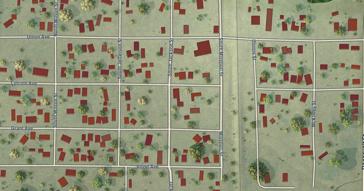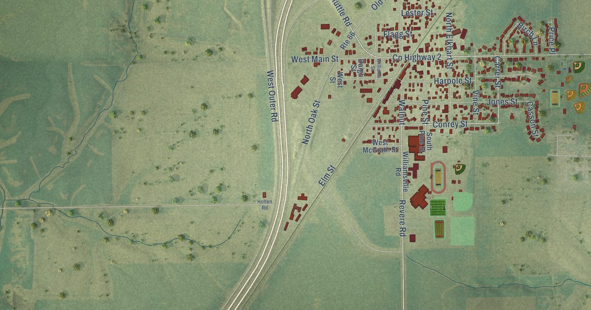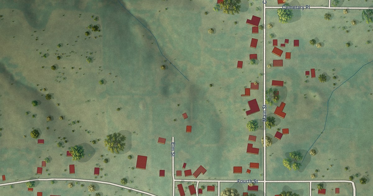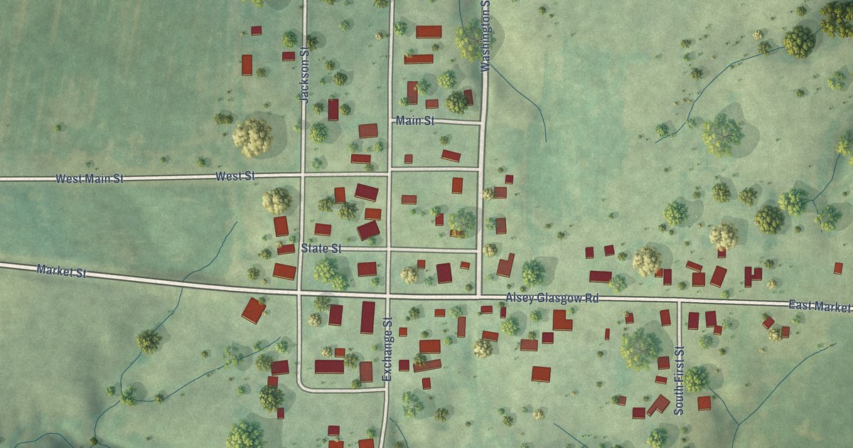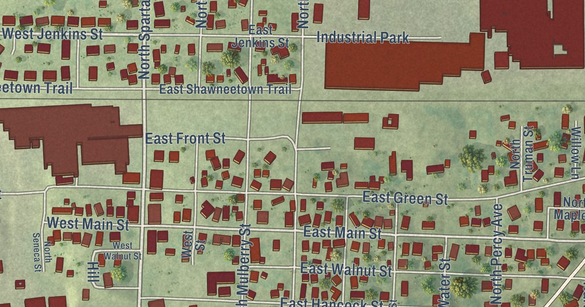
This beautifully detailed map of Steeleville, Illinois was created in 2026 using aerial imagery combined with modern topographical, census, street and landmark data. It’s a one-of-a-kind view of Steeleville that combines accurate data with a vintage aesthetic. The map shows every building in its true location, many of the roads carry their names, and the shaded topographic relief shows the shape of the land.
Explore an aerial view of Steeleville, Illinois
On the map you’ll find West Broadway Street, East Broadway Street, West Jenkins Street, West Second Street, Glenview Drive, South Sparta Street, East Massachusetts Street, Park Avenue, West Madison Street, East Main Street, East Line Street, Judi Lane, and more. If you look closely you can even find your house accurately drawn in its correct location. Zoom in on the preview to look for yours.
Did you know this piece of Steeleville, Illinois history?
From the Historical Marker Database: "Present-day Steeleville was founded in 1825 by George Steele, who erected and operated an oxen-powered grain treadmill. The town was then known as Steele's Mills."
Take a closer look at the Steeleville map
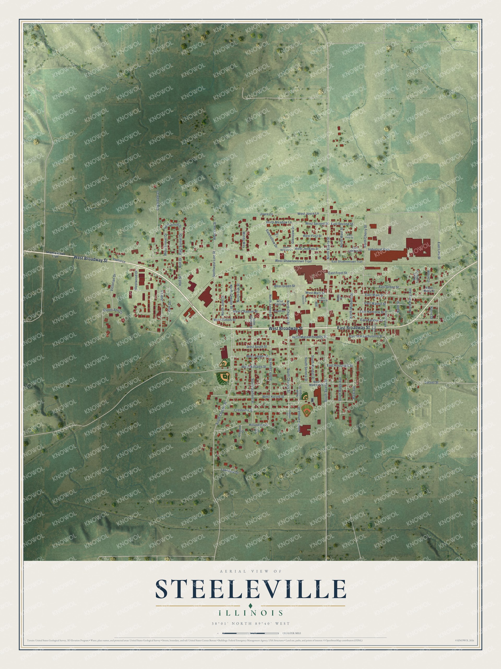
Street and place names on the Steeleville, Illinois map
These names are printed on the map of Steeleville, Illinois.
Places: Industrial Park.
Streets and roads: West Broadway Street, East Broadway Street, North Sparta Street, Glenview Drive, South Sparta Street, West Jenkins Street, West Second Street, East Massachusetts Street, Park Avenue, East Main Street, East Line Street, Judi Lane.
More street names, A to Z
Baptist Lane, Cedardale Lane, Chadron, Charles Court, Crescent Court, Crestview Drive, Dalehollow Drive, East First Street, East Front Street, East Green Street, East Hancock Street, East Jenkins Street, East Karsten Street, East Roosevelt Street, East Second Street, East Shawneetown Trail, East Sunset Drive, East Walnut Street, Erin Drive, Glen Court, Harris Drive, Hill, Hillandale Drive, Holt Drive, Holt Street, Joyce Lane, Lakeview Drive, Locust Street, North Center Street, North Charles Street, North Cherry Street, North Chester Street, North Garfield Street, North James Street, North John Street, North Locust Street, North Maple Street, North Meadow Lane, North Mulberry Street, North Oak Street, North Percy Avenue, North Seneca Street, North Sunset Drive, North Truman Street, Northwest Line Street, North West Street, Queen Ann Court, Ridge Court, Shawneetown Trail, South Campus Drive, South Campus Street, South Charles Street, South Chester Street, South Garfield Street, South James Street, South Meadow Lane, South Randall Street, South Ridge Avenue, South Seneca Street, Victorian Drive, Water Street, West Chadron Street, West Emile Street, West First Street, West Green Street, West Harold Street, West Illinois Street, West Jasper Street, West Joyce Lane, West Line Street, West Madison Street, West Main Street, West Massachusetts Street, West Shawneetown Trail, West South Street, West Street, West Sunset Drive, West Walnut Street, West Williams Street, Westwood Drive, Willow Lane, Windy Way.
See the Steeleville, Illinois map on a wall
The Steeleville map as an 18 x 24 inch print in a black frame.

This beautifully detailed map of Steeleville makes an attractive addition to your office, library, or den, and it can even be used to teach children the geography and history of the area. It also makes a great gift for someone who left Steeleville and still calls it home. When you’re done exploring, click here to get your copy of the Steeleville map.