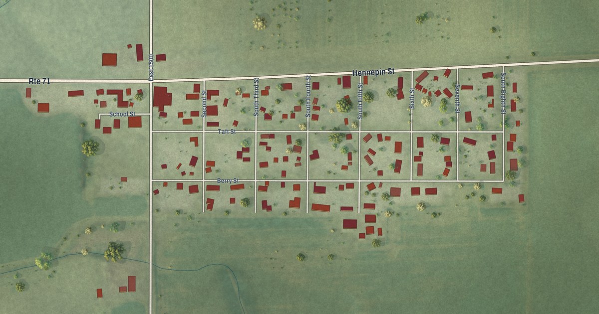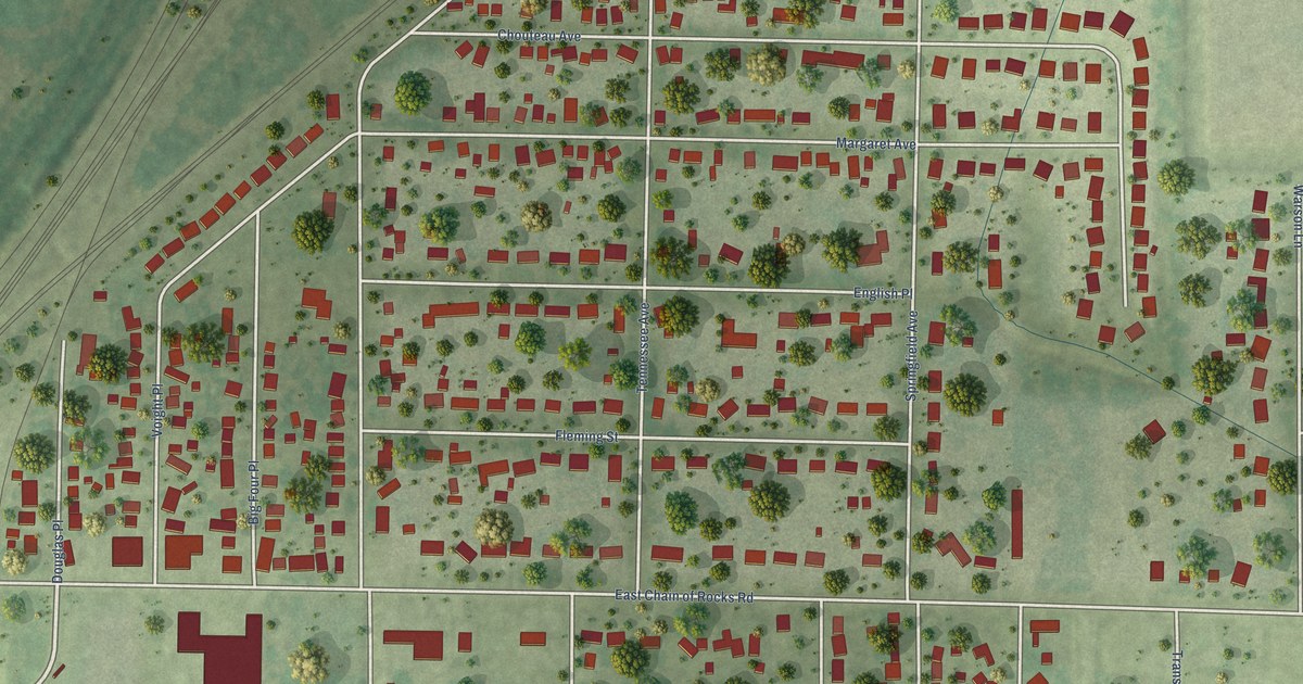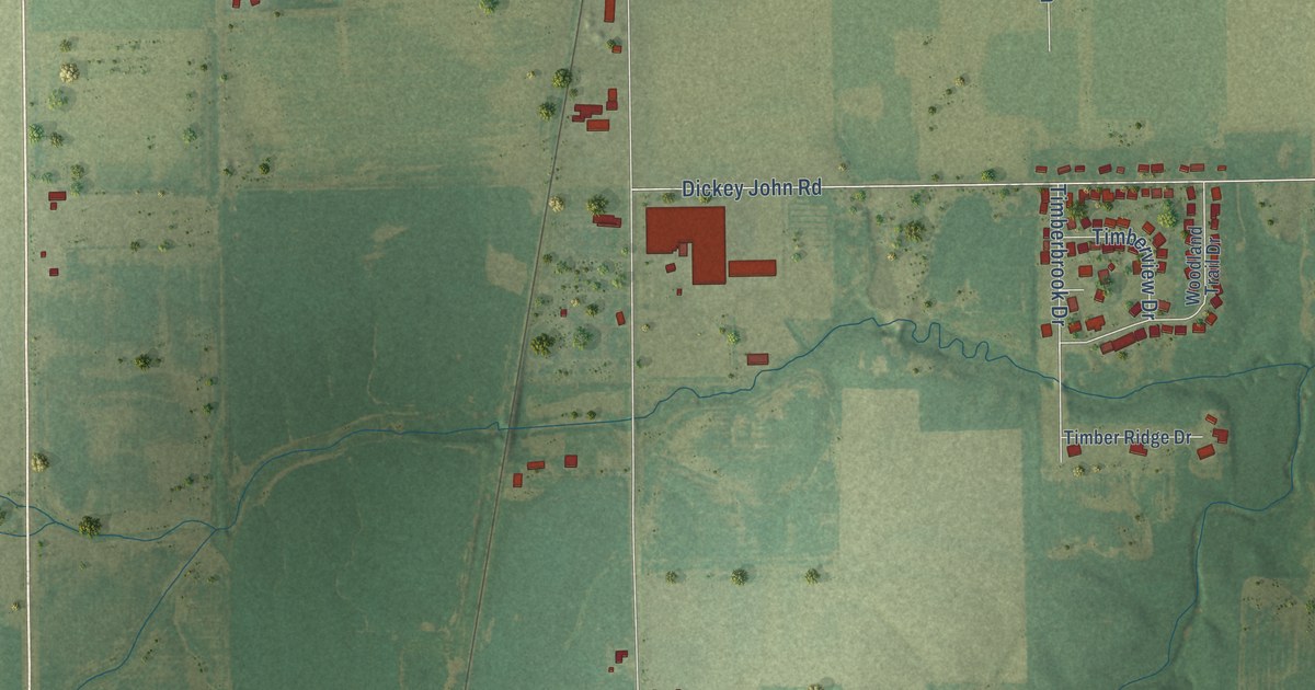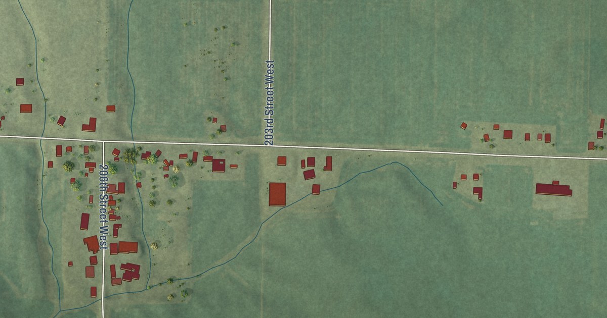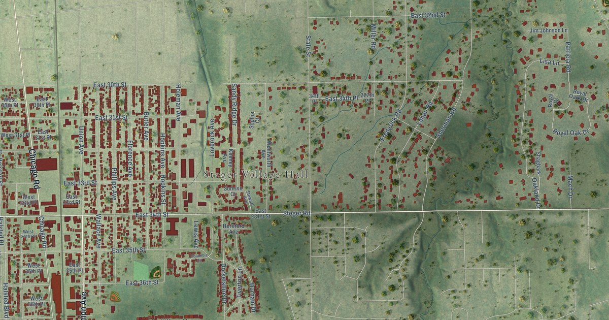
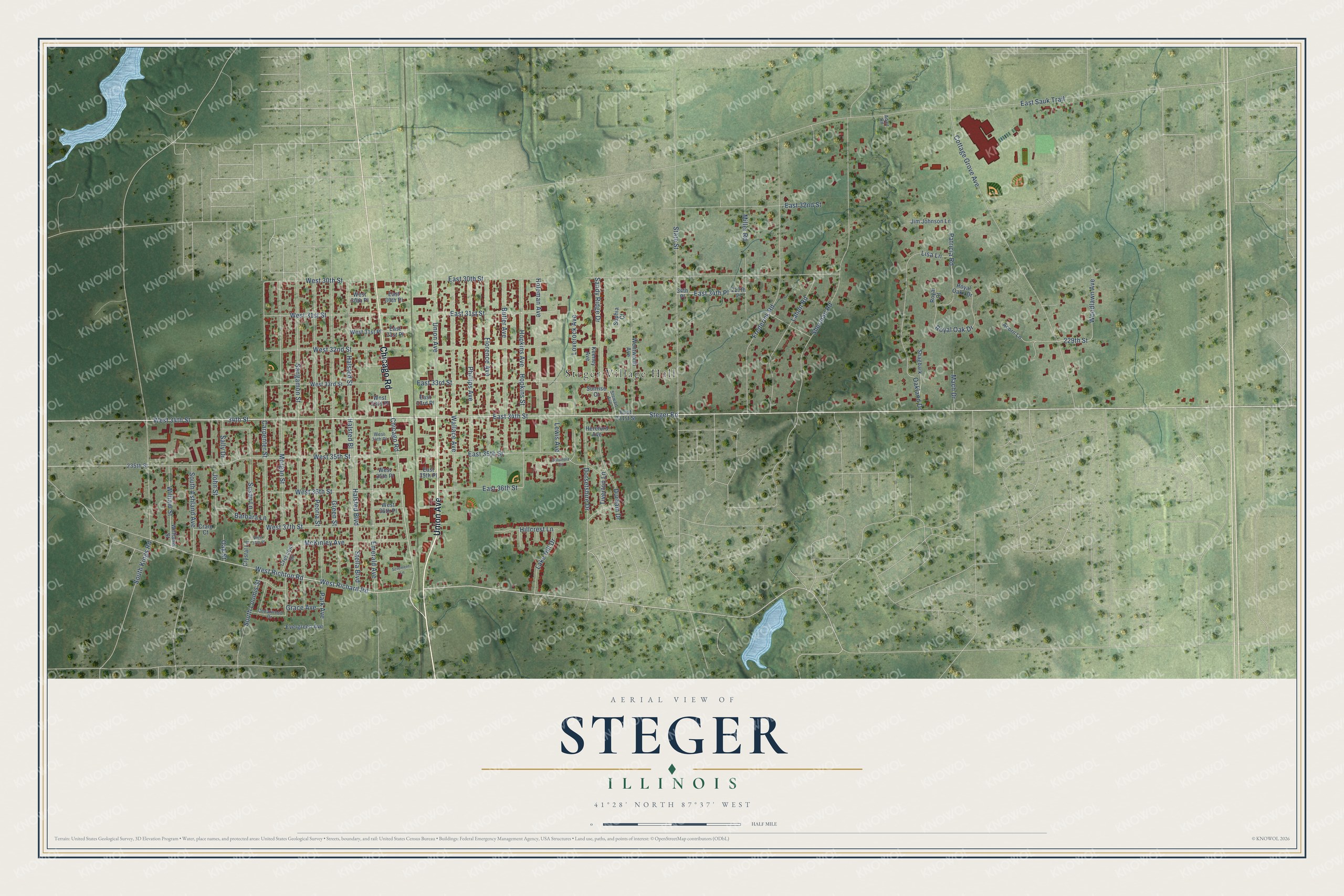
This beautifully detailed map of Steger, Illinois was created in 2026 using aerial imagery combined with modern topographical, census, street and landmark data. It’s a one-of-a-kind view of Steger that combines accurate data with a vintage aesthetic. The map shows every building in its true location, many of the roads carry their names, and the shaded topographic relief shows the shape of the land.
Explore an aerial view of Steger, Illinois
On the map you’ll find Steger Village Hall, along with Union Avenue, Chicago Road, Steger Road, West 34th Street, East 34th Street, West Richton Road, West Richard Road, Carpenter Street, 34th Street, West 31st Street, East 31st Street, and more. If you look closely you can even find your house accurately drawn in its correct location. Zoom in on the preview to look for yours.
Did you know this piece of Steger, Illinois history?
From the Cook County Hazard Mitigation Plan: "In 1893, John Valentine Steger opened a piano factory on 20 acres (81,000 square meters) of land alongside the railroad south of Chicago Heights. When the Village grew to 324 residents, the village incorporated in 1896."
Take a closer look at the Steger map
Street and place names on the Steger, Illinois map
These names are printed on the map of Steger, Illinois.
Places: Steger Village Hall.
Streets and roads: Union Avenue, Chicago Road, Steger Road, West 34th Street, East 34th Street, West Richton Road, West Richard Road, Carpenter Street, 34th Street, West 31st Street, East 31st Street, West 30th Street.
More street names, A to Z
34th Place, 227th Place, 229th Street, 235th Street, Acorn Lane, Adair Road, Barbara Lane, Butler Avenue, Cedarwood Drive, Columbia Circle, Cottage Grove Avenue, Craig Court, Crescent Drive, Crystal Lane, Dorsetshire Drive, Durham Drive, East 30th Place, East 30th Street, East 31st Place, East 32nd Street, East 33rd Place, East 33rd Street, East 34th Place, East 35th Place, East 35th Street, East 36th Street, East 231st Street, East Sauk Trail, Emerald Avenue, Evergreen Avenue, Florence Avenue, Frederick Road, Grace Avenue, Green Street, Halsted Bl, Halsted Boulevard, Halsted Street, Hereford Avenue, Hillcrest Lane, Holeman Avenue, Hopkins Avenue, Hopkins Street, Jim Johnson Lane, John Street, Keeney Avenue, Lahon Road, Lake Hill Drive, Lewis Avenue, Lisa Lane, Loverock Avenue, Mach Drive, McKinley Avenue, Miller Road, Morgan Street, Oakland Drive, Oak Street, Park Avenue, Patricia Road, Peoria Street, Phillips Avenue, Royal Court, Royal Oak Drive, Royal Oaks Drive, Sally Drive, Sandy Ridge Drive, Sangamon Street, Scrementi Lane, Shagbark, Sherman Road, Sophia Court, South Ashland Avenue, South Kings Road, South Loomis Street, State Street, Stella Boulevard, Stewart Avenue, Sunrise Court, Susan Lane, Tiverton Lane, Wallace Avenue, Wentworth Avenue, West 30th Place, West 31st Place, West 32nd Street, West 33rd Place, West 33rd Street, West 34th Place, West 35th Place, West 35th Street, West 36th Place, West 36th Street, West 37th Place, West 37th Street, Williams Street, William Street, Woodlawn Avenue.
See the Steger, Illinois map on a wall
The Steger map as an 18 x 24 inch print in a black frame.

This beautifully detailed map of Steger makes an attractive addition to your office, library, or den, and it can even be used to teach children the geography and history of the area. It also makes a great gift for someone who left Steger and still calls it home. When you’re done exploring, click here to get your copy of the Steger map.