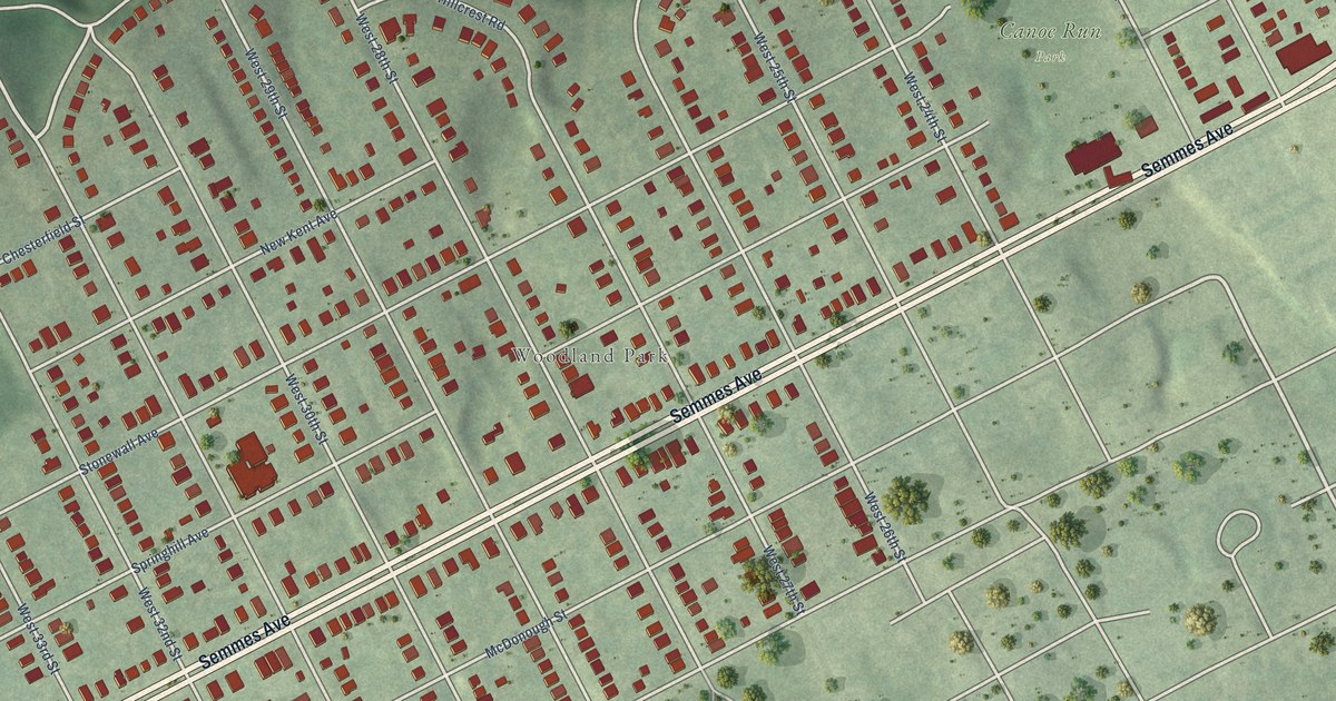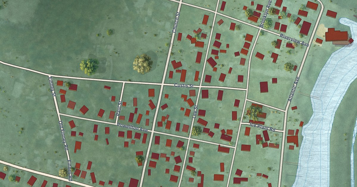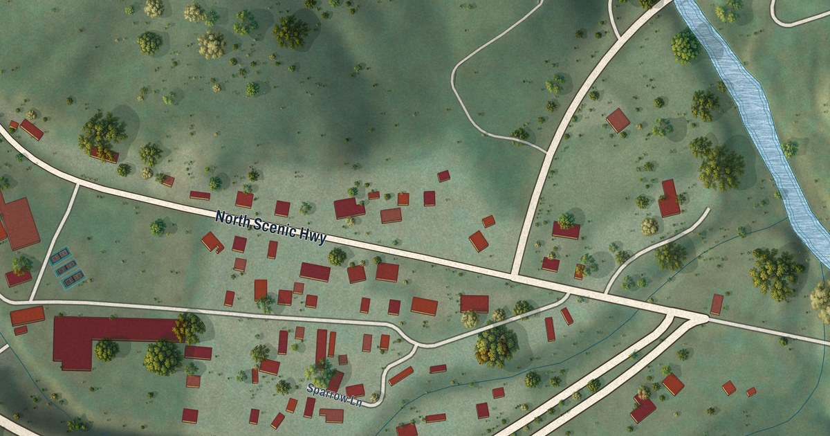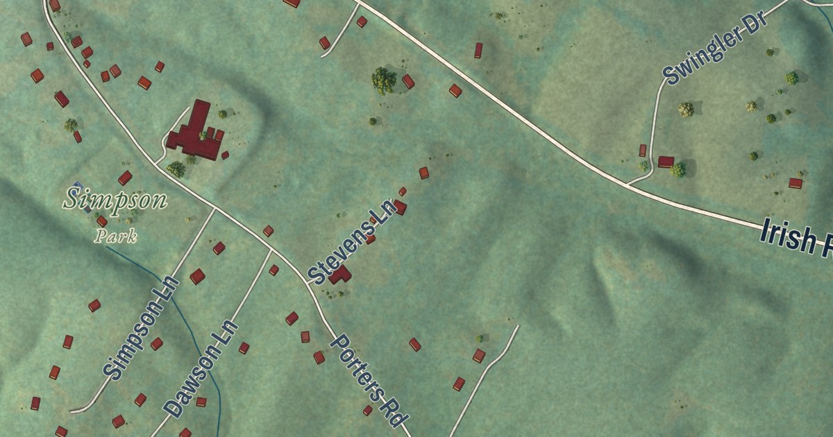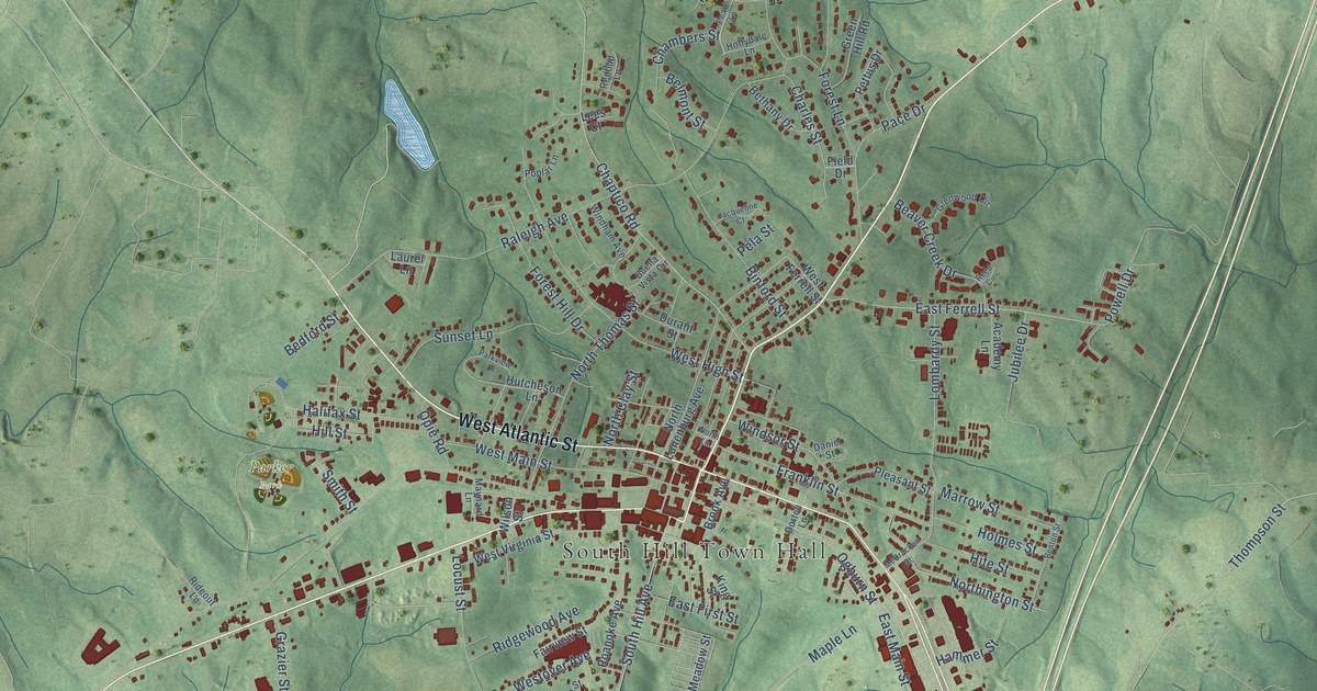
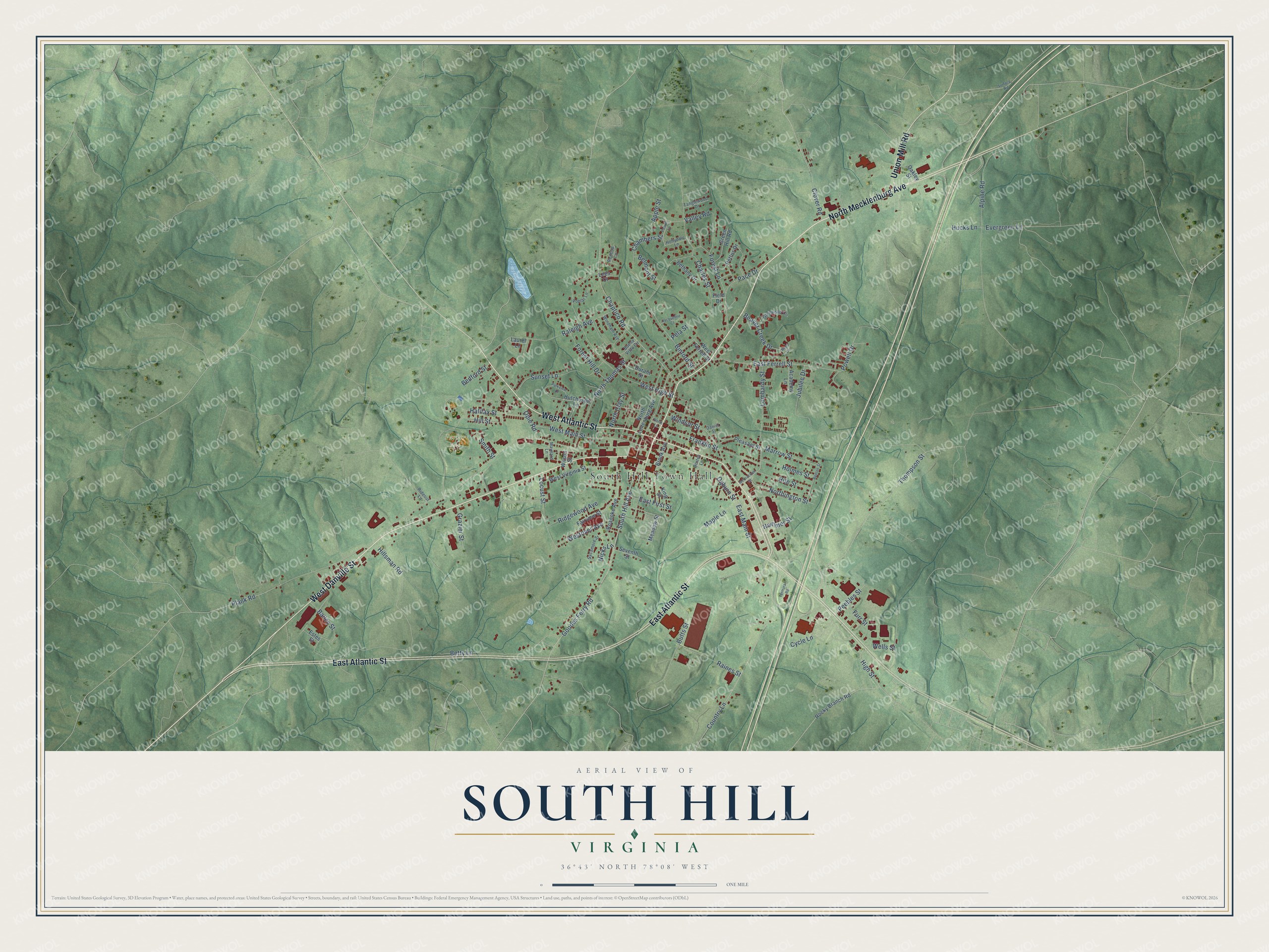
This beautifully detailed map of South Hill, Virginia was created in 2026 using aerial imagery combined with modern topographical, census, street and landmark data. It’s a one-of-a-kind view of South Hill that combines accurate data with a vintage aesthetic. The map shows every building in its true location, many of the roads carry their names, and the shaded topographic relief shows the shape of the land.
Explore an aerial view of South Hill, Virginia
On the map you’ll find South Hill Town Hall and Parker Park, along with East Atlantic Street, North Mecklenburg Avenue, West Atlantic Street, West Danville Street, Union Mill Road, East Ferrell Street, East Main Street, Cycle Lane, Bailey Street, Plank Road, and more. If you look closely you can even find your house accurately drawn in its correct location. Zoom in on the preview to look for yours.
Did you know this piece of South Hill, Virginia history?
From the Virginia Historical Highway Marker: "South Hill was incorporated as a town on 16 Feb. 1901 and remained one of only three circular municipalities in the United States until an annexation in 1967."
Take a closer look at the South Hill map
Street and place names on the South Hill, Virginia map
These names are printed on the map of South Hill, Virginia.
Places: South Hill Town Hall and Parker Park.
Streets and roads: East Atlantic Street, North Mecklenburg Avenue, West Atlantic Street, West Danville Street, Union Mill Road, East Ferrell Street, East Main Street, Cycle Lane, Bailey Street, Plank Road, Raleigh Avenue, Goodes Ferry Road.
More street names, A to Z
Academy Lane, Alpine Road, Apple Street, Beaver Creek Drive, Bedford Street, Belmont Street, Benton Street, Bethany Drive, Betty Lane, Binford Street, Brook Avenue, Buena Vista Circle, Butts Street, Chambers Street, Chaptico Road, Charles Street, Clover Road, Country Lane, Daniel Street, Dortch Lane, Durant Street, East First Street, Estes Street, Evergreen Lane, Fairview Street, Field Drive, Forest Hill Drive, Forest Lane, Franklin Street, Furr Street, Glenwood Circle, Grazier Street, Green Hill Road, Halifax Street, Hammer Street, High Street, Hillsman Road, Hill Street, Hite Street, Hollydale Lane, Holmes Street, Hucks Lane, Hutcheson Lane, Jacqueline Court, Jubilee Drive, King Street, Laurel Lane, Lees Court, Locust Street, Lombardy Street, Maple Lane, Marrow Street, Maynard Lane, McCracken Street, Meadow Street, Nicks Lane, North Clay Street, Northington Street, North Lane, North Lunenburg Avenue, North Thomas Street, Oakley Street, Ogburn Street, Opie Road, Pace Drive, Parkview Drive, Peach Lane, Peebles Street, Pela Street, Pettus Drive, Pleasant Street, Poplar Lane, Powell Drive, Raines Street, Redbud Lane, Reed Circle, Rideout Lane, Ridgewood Avenue, Roanoke Avenue, Rocky Branch Road, Seventh Street, Smith Street, South Hill Avenue, Sunset Lane, Surface Road, Sycamore Street, Tanglewood Drive, Terminal Road, Thompson Street, Valley Road, Wells Street, West Ferrell Street, West High Street, West Main Street, Westover Avenue, West Virginia Street, Wilson Street, Windham Avenue, Windsor Street.
See the South Hill, Virginia map on a wall
The South Hill map as an 18 x 24 inch print in a black frame.

This beautifully detailed map of South Hill makes an attractive addition to your office, library, or den, and it can even be used to teach children the geography and history of the area. It also makes a great gift for anyone who grew up in South Hill or moved away. When you’re done exploring, click here to get your copy of the South Hill map.