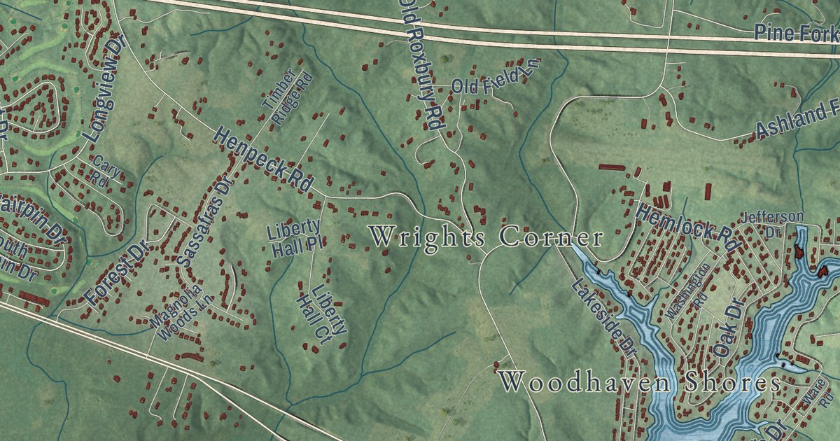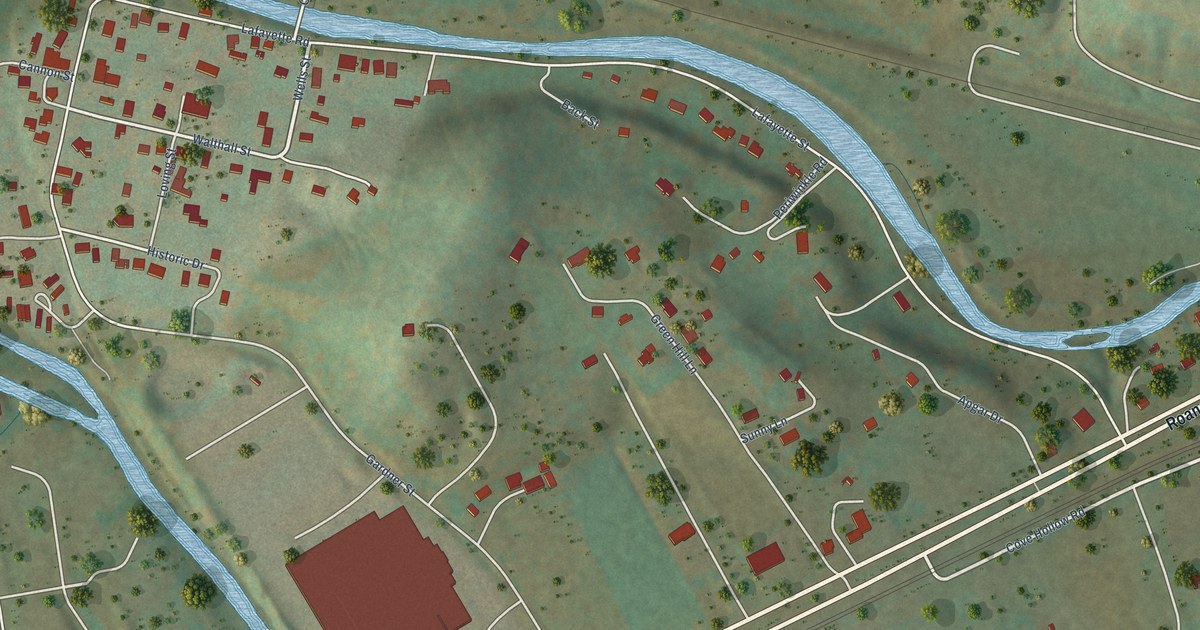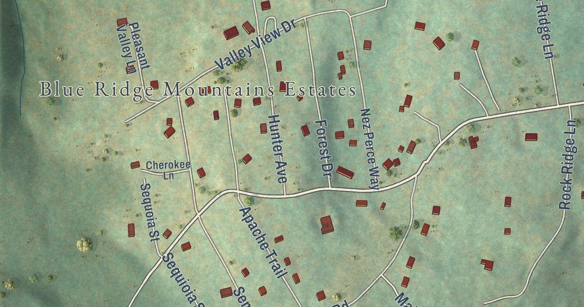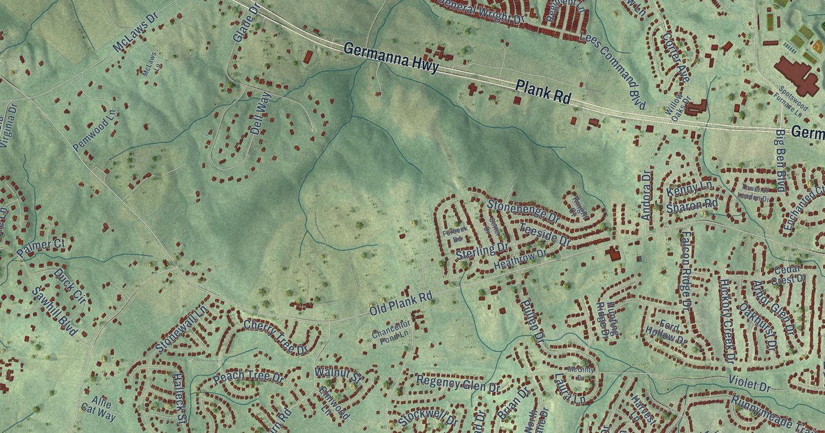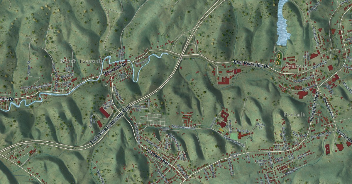
This beautifully detailed map of Tazewell, Virginia was created in 2026 using aerial imagery combined with modern topographical, census, street and landmark data. It’s a one-of-a-kind view of Tazewell that combines accurate data with a vintage aesthetic. The map shows every building in its true location, many of the roads carry their names, and the shaded topographic relief shows the shape of the land.
Explore an aerial view of Tazewell, Virginia
On the map you’ll find Drytown, River Jack, Fourway, Benbolt, Five Oaks, and North Tazewell, along with West Main Street, Adria Road, Main Street, Fincastle Turnpike, Riverside Drive, East Riverside Drive, and more. If you look closely you can even find your house accurately drawn in its correct location. Zoom in on the preview to look for yours.
Did you know this piece of Tazewell, Virginia history?
From Vcris.dhr.virginia.gov: "First known as Jeffersonville, the name was changed to Tazewell, for Senator Henry Tazewell."
Take a closer look at the Tazewell map
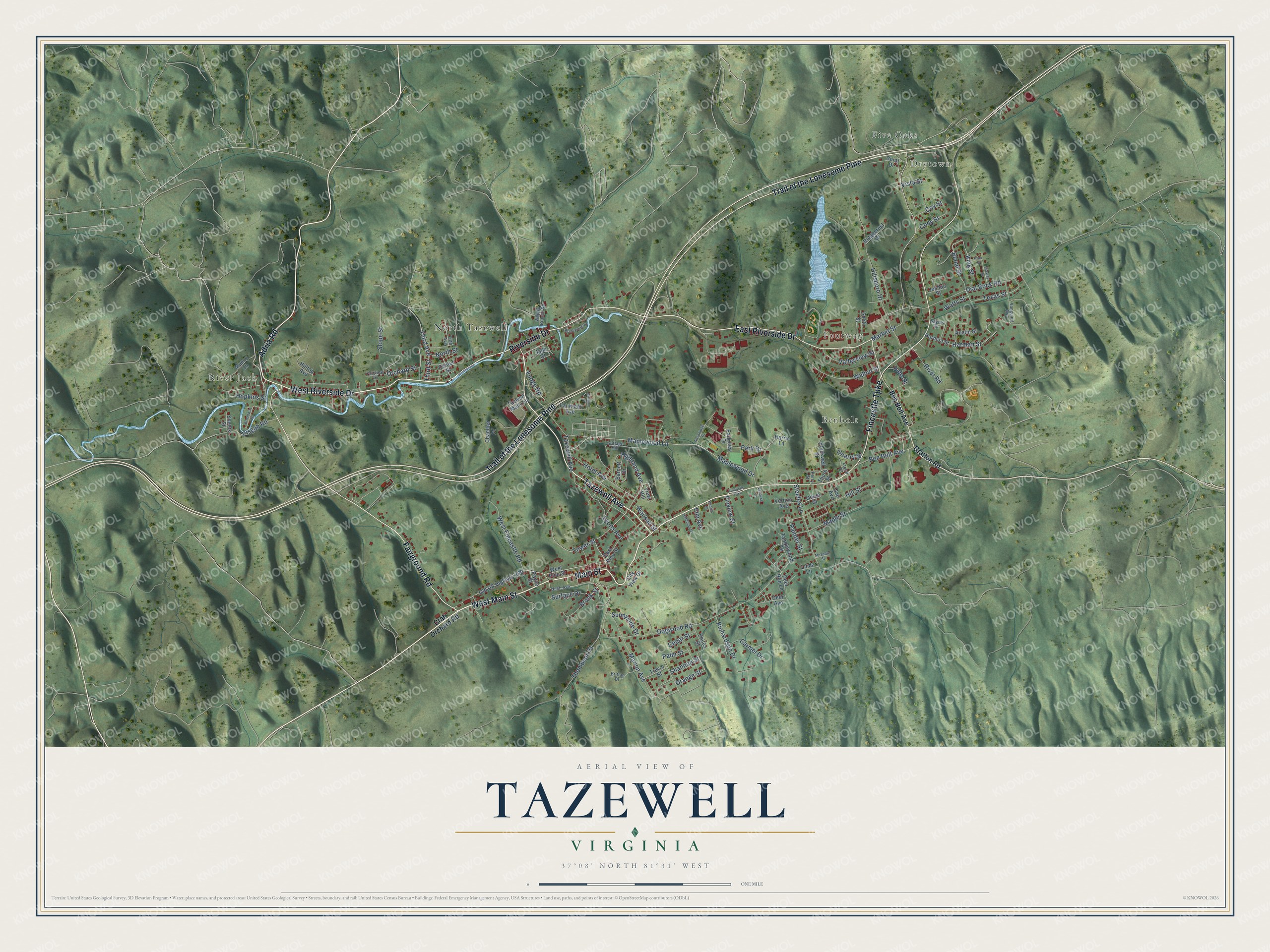
Street and place names on the Tazewell, Virginia map
These names are printed on the map of Tazewell, Virginia.
Places: Drytown, River Jack, Fourway, Benbolt, Five Oaks and North Tazewell.
Streets and roads: West Main Street, Adria Road, Main Street, Fincastle Turnpike, Riverside Drive, East Riverside Drive, Trail of the Lonesome Pine, West Riverside Drive, Fairground Road, Tazewell Avenue, Hopkins Street, Tower Street.
More street names, A to Z
Advantage Drive, Austin Street, Baby Street, Barnett Drive, Ben Bolt Avenue, Blacksburg Street, Blackwell Street, Bland Street, Brittan Drive, Broadway Street, Brook Street, Carmel Drive, Cedar Street, Center Street, Chamber Road, City View Drive, Cody Street, Coral Drive, Cottage Hill, Cox Street, Crab Orchard Road, Deer Avenue, Deer Run Lane, Dial Rock Road, Division Street, Dogwood Road, East Pine Street, Elm Avenue, Fairmont Avenue, Fairview Street, Fifth Avenue, Finview Street, Floral Court, Fudge Road, Gap Avenue, Gratton Road, Hankla Street, Harman Street, Harmon Street, Harris Lane, Highland Avenue, Hillsboro Drive, Hill Street, Hilltop Avenue, Hotel Avenue, Jade Court, Jefferson Street, Joshua Street, King Street, Linda Lane, Lyons Avenue, Maple Street, Maplewood Drive, Maplewood Lane, Marion Avenue, Market Street, Meadow Street, Muncy Lane, Nash Avenue, North Street, Odum Street, Old US Highway 460, Orange Street, Orchard Street, Painter Street, Palm Street, Park Drive, Park Street, Parkview Drive, Payne Street, Perry Street, Philos Street, Pisgah Road, Quarry Street, Richardson Drive, Ridgecrest Drive, River Road, Sayers Street, Shannon Street, Sheets Street, Shewey Street, Slope Street, Smith Street, Steeles Lane, Sunnyside Drive, Surface Drive, Tanglewood Drive, Tazwell Mall Circle, Texas Street, Third Avenue, Third Street, Thompson Street, Thorn Street, Trevor Street, Valleyview Street, Vandyke Lane, Vanguard Avenue, Vernon Avenue, View Hill, Vista Street, Walnut Street, Watts Street, Wausau Street, West Fincastle Road, West Pine Street, Whitley Branch Road.
See the Tazewell, Virginia map on a wall
The Tazewell map as an 18 x 24 inch print in a black frame.

This beautifully detailed map of Tazewell makes an attractive addition to your office, library, or den, and it can even be used to teach children the geography and history of the area. It also makes a great gift for anyone who grew up in Tazewell or moved away. When you’re done exploring, click here to get your copy of the Tazewell map.