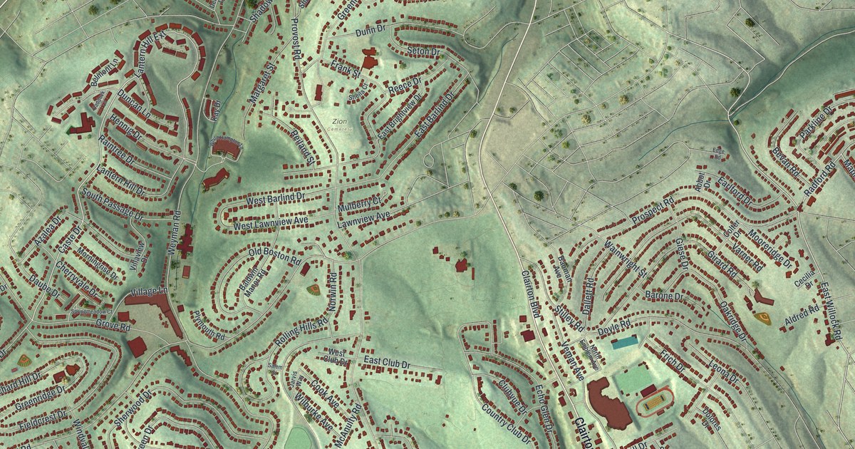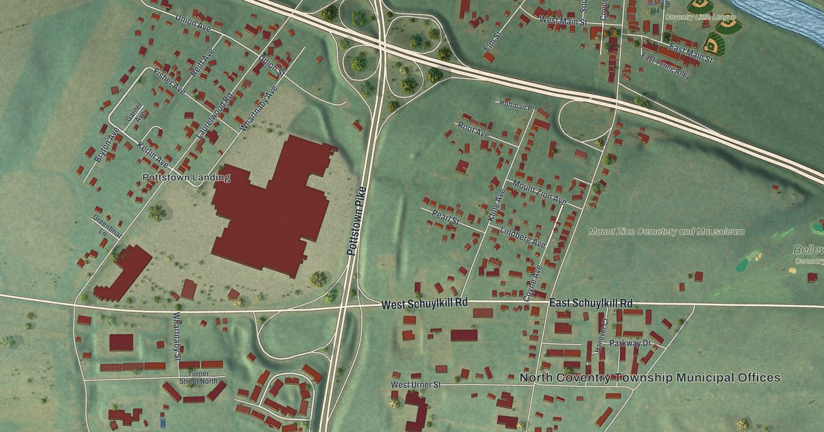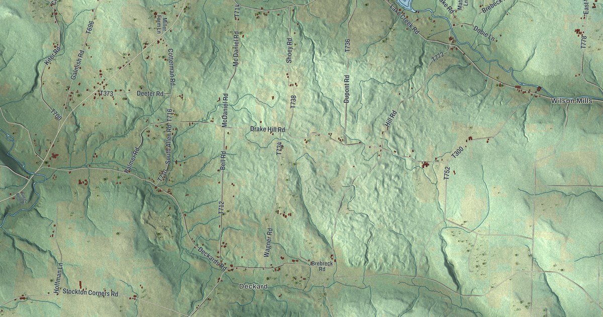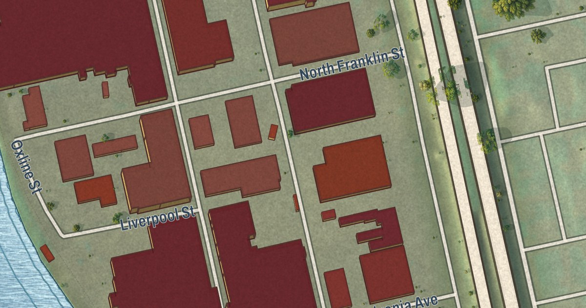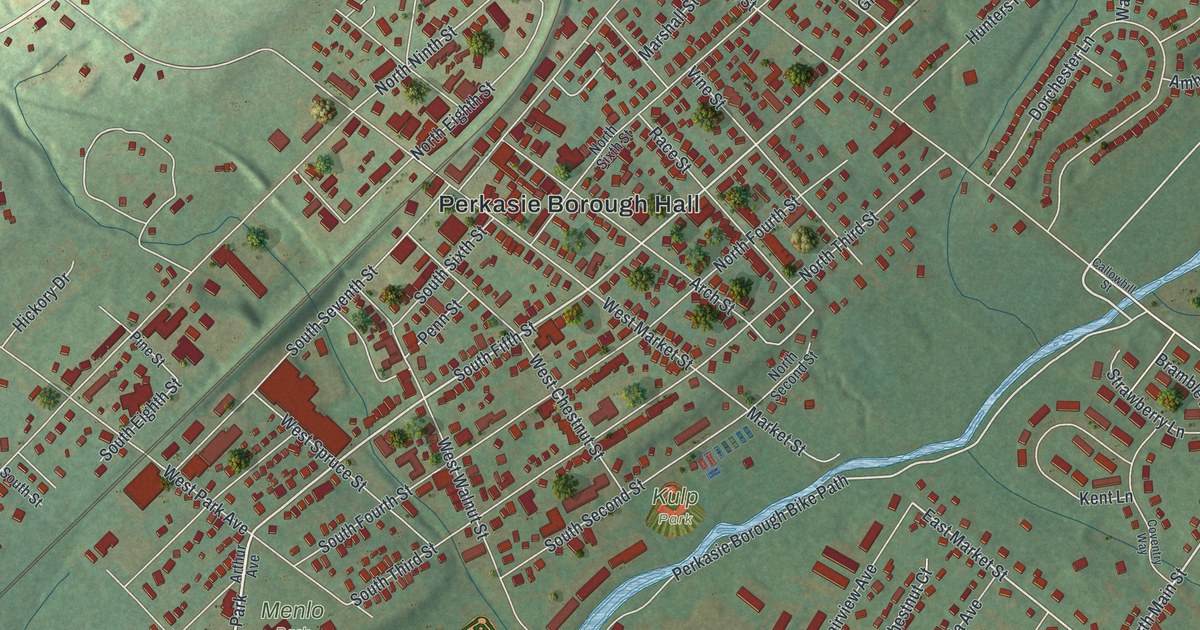
This beautifully detailed map of Perkasie, Pennsylvania was created in 2026 using aerial imagery combined with modern topographical, census, street and landmark data. It’s a one-of-a-kind view of Perkasie that combines accurate data with a vintage aesthetic. The map shows every building in its true location, many of the roads carry their names, and the shaded topographic relief shows the shape of the land.
Explore an aerial view of Perkasie, Pennsylvania
On the map you’ll find Perkasie Borough Hall, Lenape Park, Kulp Park, Menlo Park, Bridgetown, Selsie Village, Stonycrest, and White Horse, along with Constitution Avenue, Park Avenue, South Ridge Road, East Walnut Street, and more. If you look closely you can even find your house accurately drawn in its correct location. Zoom in on the preview to look for yours.
Did you know this piece of Perkasie, Pennsylvania history?
From the Perkasie Borough: "Merchant’s dealers and farmers made it a real trade center and year after year the railroad business increased until the business transacted made Perkasie the third-largest station on the North Penn line. By 1891 there were 22 trains, 19 of which stopped in Perkasie."
Take a closer look at the Perkasie map
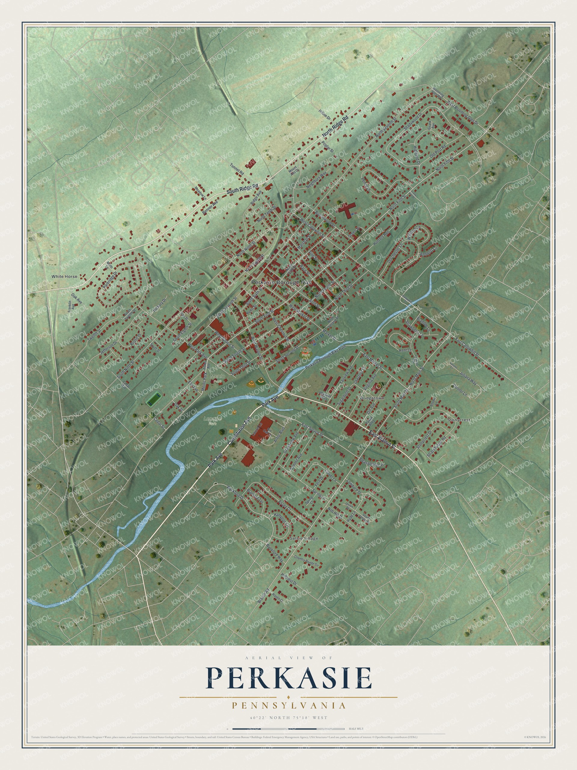
Street and place names on the Perkasie, Pennsylvania map
These names are printed on the map of Perkasie, Pennsylvania.
Places: Perkasie Borough Hall, Lenape Park, Kulp Park, Menlo Park, Bridgetown, Selsie Village, Stonycrest and White Horse.
Streets and roads: Constitution Avenue, Park Avenue, South Ridge Road, East Walnut Street, North Ridge Road, South Fourth Street, South Main Street, South Fifth Street, North Main Street, North Fifth Street, East Callowhill Street, Wyckford Drive.
More street names, A to Z
Amherst Circle, Arbor Boulevard, Arch Street, Arthur Avenue, Benner Avenue, Blooming Glen Road, Bramble Lane, Branch Road, Branford Terrace, Buttonwood Street, Callowhill Street, Cedar Avenue, Cedar Street, Chestnut Court, Clover Lane, Connor Lane, Country Pointe Circle, Coventry Way, Creek View Drive, Daniella Circle, Dill Avenue, Dorchester Lane, East Market Street, East Spruce Street, Elm Avenue, Essex Court, Fairview Avenue, Fern Drive, Franklin Avenue, Girard Avenue, Grandview Avenue, Green Street, Hampton Circle, Haven Court, Hickory Drive, Highland Drive, Hiline Drive, Hillcrest Drive, Hunters Run, Hyde Lane, Jefferson Drive, Juliana Way, Kent Lane, Laurel Lane, Lombard Street, Market Street, Marshall Street, Meadow Lane, Mount Alto Drive, Neighbors Way, Nob Hill Drive, North Eighth Street, North Fourth Street, North Lane, North Ninth Street, North Second Street, North Seventh Street, North Sixth Street, North Tenth Street, North Third Street, Oak Avenue, Oak Street, Old Post Road, Parkridge Drive, Paved Alley, Penn Street, Penny Lane, Perkasie Borough Bike Path, Pine Street, Pin Oak Lane, Pleasant Run Place, Poplar Street, Race Street, Ridge Avenue, Rustic Drive, Shadywood Drive, Souder Lane, South Eighth Street, South Ninth Street, South Second Street, South Seventh Street, South Sixth Street, South Street, South Third Street, South Twelfth Street, South Union Street, Spring Court, Spring Lane, Stonycrest Drive, Strassburger Road, Strawberry Lane, Sugarbush Drive, Summit Avenue, Tunnel Road, Twelfth Street, Union Street, Unpaved Alley, Vine Street, Virginia Avenue, Waltham Lane, West Blooming Glen Drive, West Callowhill Street, West Chestnut Street, West Market Street, West Park Avenue, West Spruce Street, West Walnut Street, Wyckford Way.
See the Perkasie, Pennsylvania map on a wall
The Perkasie map as an 18 x 24 inch print in a black frame.

This beautifully detailed map of Perkasie makes an attractive addition to your office, library, or den, and it can even be used to teach children the geography and history of the area. It also makes a great gift for anyone who grew up in Perkasie or moved away. When you’re done exploring, click here to get your copy of the Perkasie map.