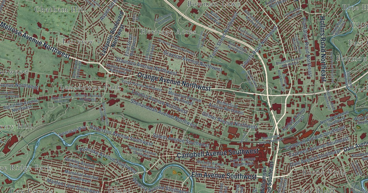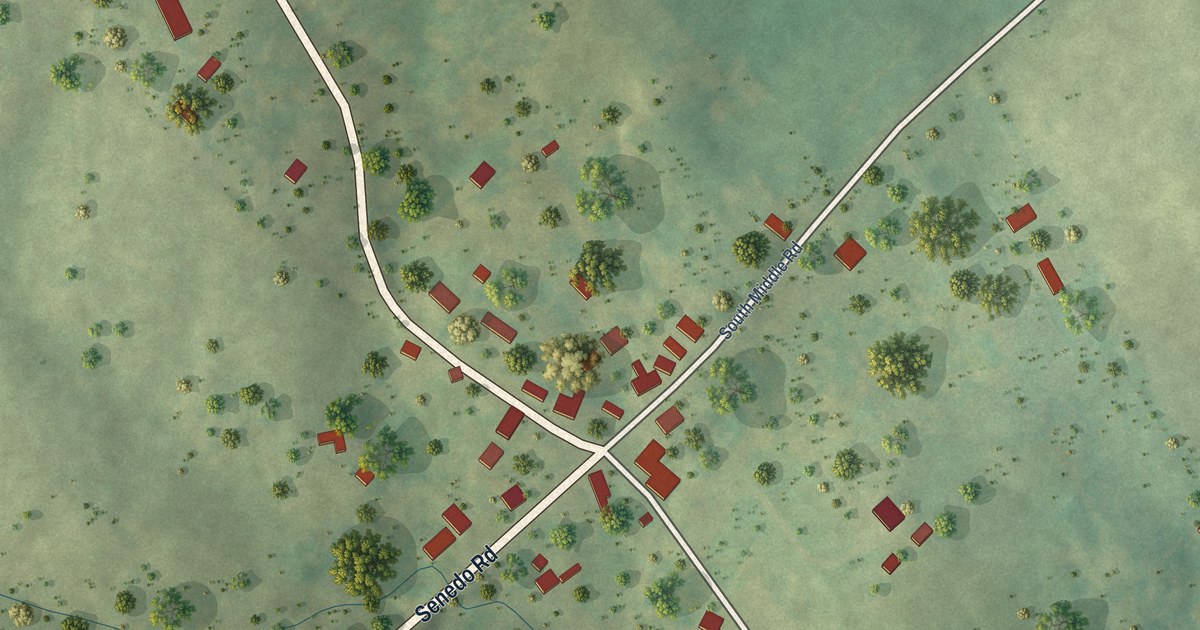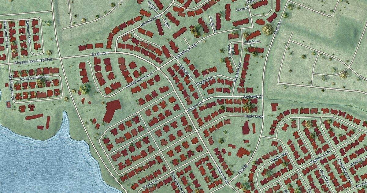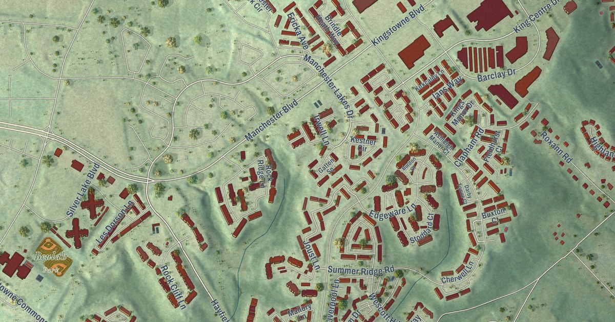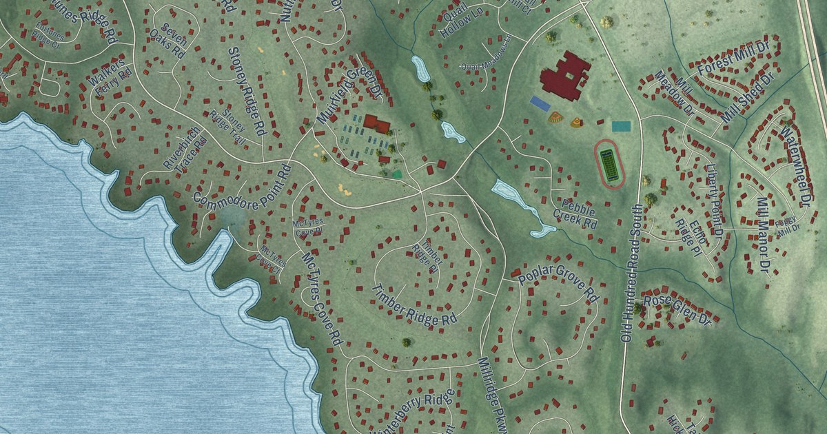
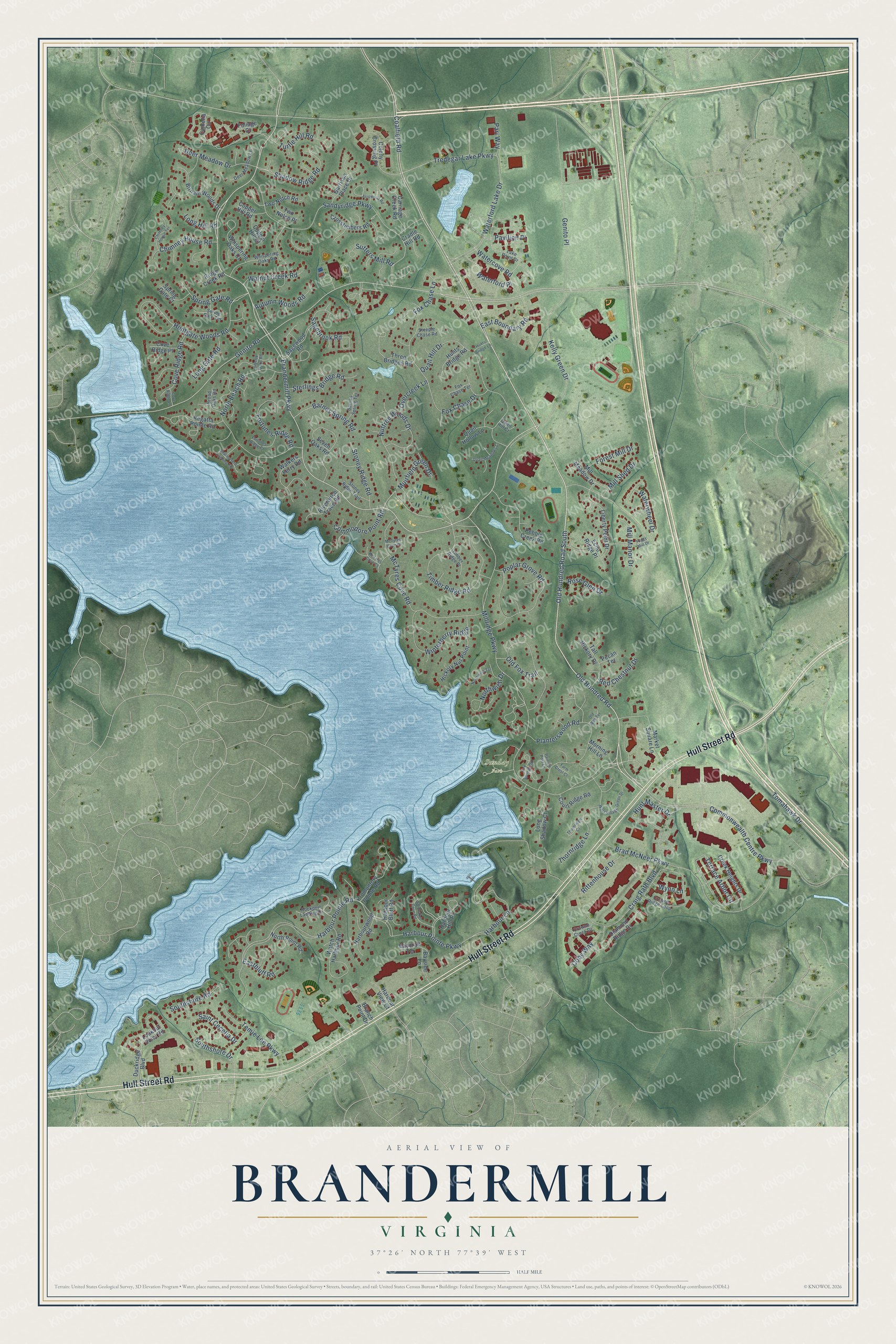
This beautifully detailed map of Brandermill, Virginia was created in 2026 using aerial imagery combined with modern topographical, census, street and landmark data. It’s a one-of-a-kind view of Brandermill that combines accurate data with a vintage aesthetic. The map shows every building in its true location, many of the roads carry their names, and the shaded topographic relief shows the shape of the land.
Explore an aerial view of Brandermill, Virginia
On the map you’ll find Sunday Park and Pavilion Place, along with Hull Street Road, Old Hundred Road, Brandermill Parkway, Old Hundred Road South, Kelly Green Drive, Coalfield Road, Waterford Lake Drive, Commonwealth Centre Parkway, Tredegar Lake Parkway, Millridge Parkway, and more. If you look closely you can even find your house accurately drawn in its correct location. Zoom in on the preview to look for yours.
Did you know this about Brandermill, Virginia?
From the East West Partners: "Brandermill's master plan successfully combined homes with offices, schools, churches, shopping centers, and a wide array of recreational facilities."
Take a closer look at the Brandermill map
Street and place names on the Brandermill, Virginia map
These names are printed on the map of Brandermill, Virginia.
Places: Sunday Park.
Streets and roads: Hull Street Road, Old Hundred Road, Brandermill Parkway, Old Hundred Road South, Kelly Green Drive, Coalfield Road, Waterford Lake Drive, Commonwealth Centre Parkway, Tredegar Lake Parkway, Millridge Parkway, Pavilion Place, Genito Road.
More street names, A to Z
Arrowood Road, Autumn Woods Road, Barnes Spring Road, Barnes Spring Terrace, Baycraft Terrace, Bayside Lane, Birnam Woods Drive, Brad McNeer Parkway, Branch Point Drive, Broad Oaks Road, Camelia Circle, Carriage Creek Road, Chimney House Road, Chimney House Terrace, Coby Way, Colony Crossing Place, Commodore Point Road, Copper Hill Court, Copper Hill Road, Court Ridge Road, Cove Ridge Lane, Cove Ridge Place, Cove Ridge Road, Cradle Hill Road, Craig Rath Boulevard, Creek Heights Drive, Crosstimbers Road, Crowne Creek Drive, Crowne Ridge Loop, Deer Meadow Drive, Deer Meadow Lane, Diamond Ridge Drive, Duckridge Boulevard, Eastbluff Road, East Boundary Road, Echo Ridge Place, Farm Crest Court, Five Springs Road, Foggy Mill Drive, Foliage Court, Forest Mill Drive, Fortunes Ridge Court, Fortunes Ridge Road, Fox Chase Drive, Fox Chase Lane, Fox Chase Terrace, Garrison Place Drive, Genito Place, Harbour Bluff Road, Harbour Hill Place, Harbour Lane, Harbour Pointe Parkway, Harbour Pointe Road, Harbour View Court, Harbourwood Road, Hickory Nut Point, Huntgate Woods Road, Hunt Master Drive, Hunts Bridge Lane, Hunts Bridge Road, Lake Point Drive, Liberty Oaks Road, Liberty Point Drive, Long Gate Road, Long Hill Road, Long Shadow Court, Lookout Point Road, Market Square Lane, McTyres Cove Court, McTyres Cove Place, McTyres Cove Road, Mill Manor Drive, Mill Meadow Drive, Mill Shed Drive, Morning Hill Lane, Muirfield Green Drive, North Beach Road, North Point Road, Northwich Drive, Northwich Terrace, Nuttree Woods Drive, Old Fox Trail, Old Well Terrace, Overcreek Lane, Painted Post Lane, Pari Way, Pebble Creek Road, Pecan Terrace, Planterswood Road, Poplar Grove Road, Promontory Pointe Road, Quail Hill Court, Quail Hill Drive, Quail Hollow Lane, Quail Meadows Lane, Red Chestnut Drive, Regatta Pointe Road, Ridge Creek Road, Rittenhouse Drive, Riverbirch Trace Road, Rockport Landing Drive, Rose Glen Drive, Sagebrook Road, Sagewood Road, Saint Cecelia Drive, Sandyridge Parkway, Seven Oaks Road, Shadow Ridge Road, Shallowford Landing Terrace, Southshore Drive, Southshore Road, Spinnaker Cove Road, Spring Gate Court, Spring Gate Road, Spring Gate Terrace, Steeple Chase Road, Sterlings Bridge Road, Stoney Ridge Road, Stoney Ridge Trail, Sutters Mill Road, Tall Hickory Drive, Temie Lee Parkway, Terrace Arbor Circle, Thornridge Court, Thornridge Lane, Three Bridges Road, Timber Ridge Place, Timber Ridge Road, Tomahawk Drive, Turtle Hill Road, Two Notch Place, Two Notch Road, Walkers Ferry Road, Walnut Creek Road, Watch Harbour Road, Watercove Road, Waterford Place, Waterwheel Drive, West Village Green Drive, Whispering Oaks Court, Whispering Oaks Road, Winterberry Ridge, Wynn Lane.
See the Brandermill, Virginia map on a wall
The Brandermill map as an 18 x 24 inch print in a black frame.

This beautifully detailed map of Brandermill makes an attractive addition to your office, library, or den, and it can even be used to teach children the geography and history of the area. It also makes a great gift for someone who left Brandermill and still calls it home. When you’re done exploring, click here to get your copy of the Brandermill map.