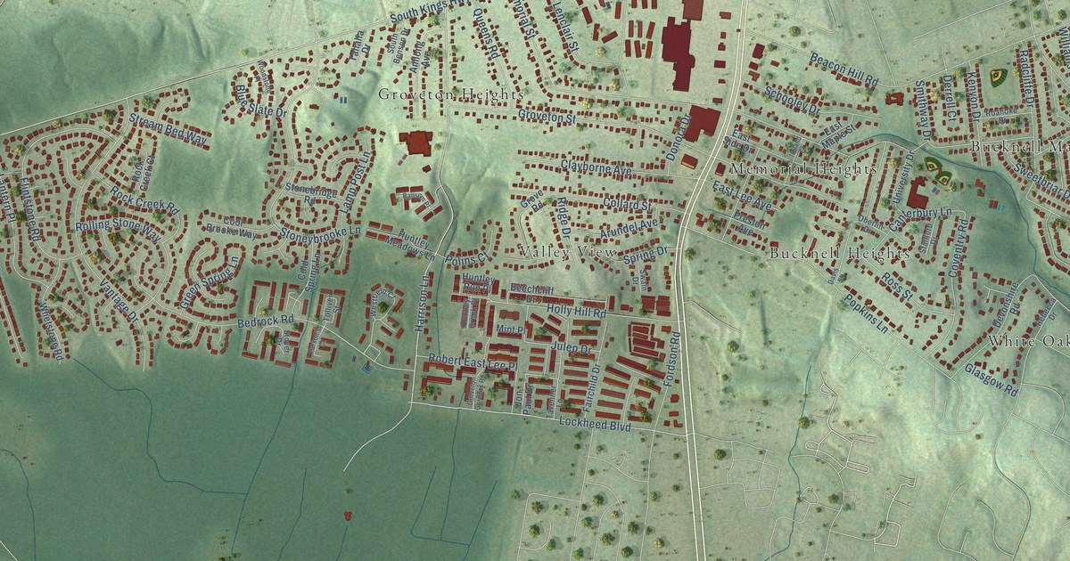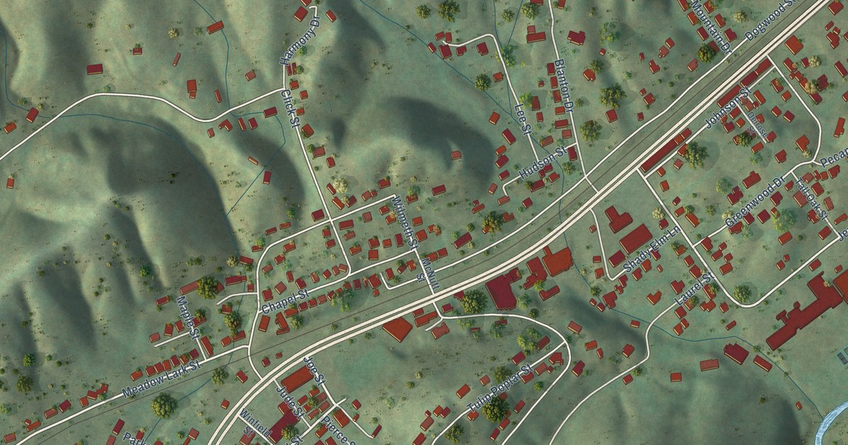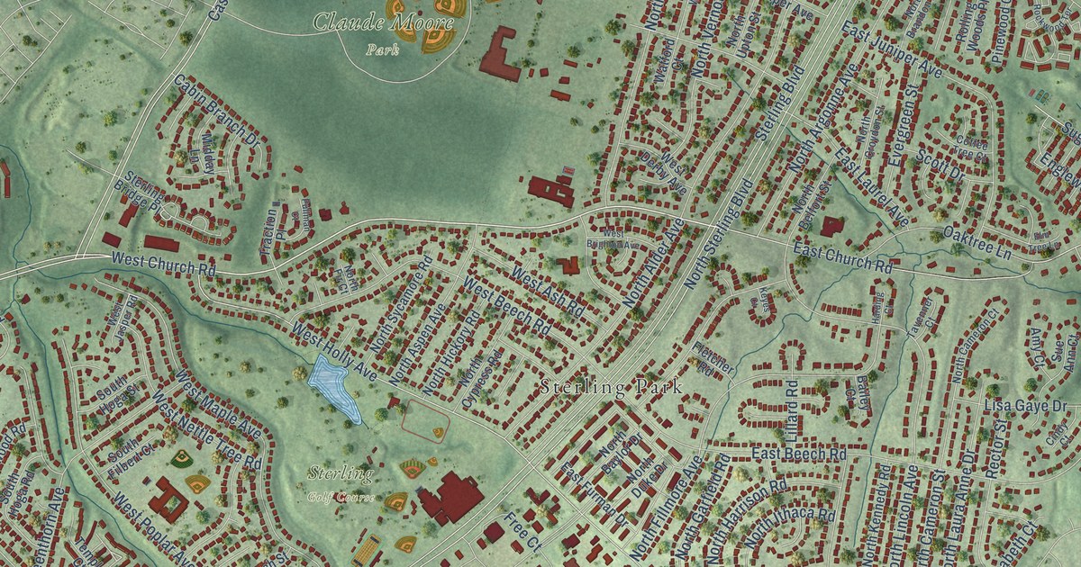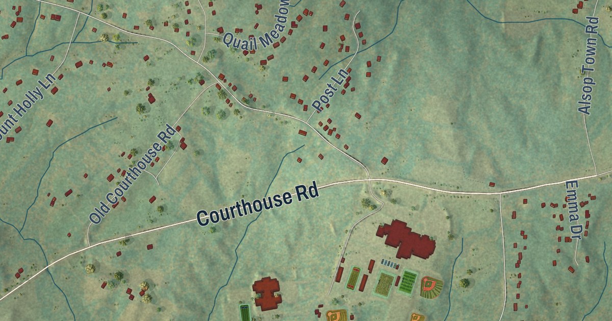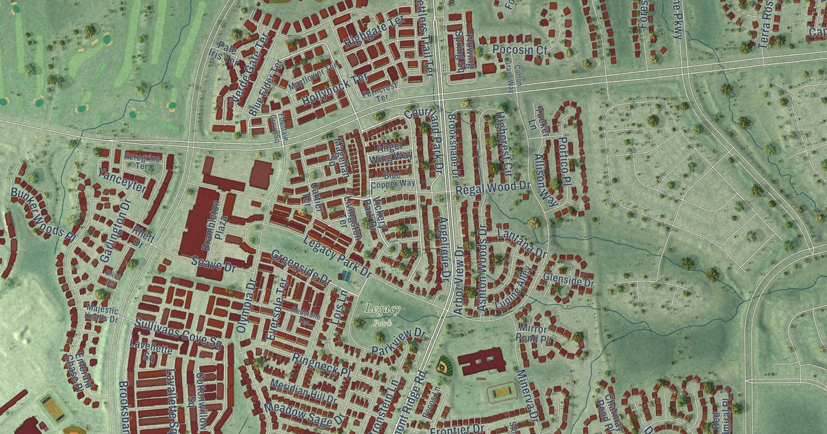
This beautifully detailed map of Brambleton, Virginia was created in 2026 using aerial imagery combined with modern topographical, census, street and landmark data. It’s a one-of-a-kind view of Brambleton that combines accurate data with a vintage aesthetic. The map shows every building in its true location, many of the roads carry their names, and the shaded topographic relief shows the shape of the land.
Explore an aerial view of Brambleton, Virginia
On the map you’ll find Legacy Park, Reservoir Park, Royville, and Brambleton Golf Club, along with Regal Wood Drive, Hollyhock Terrace, Belmont Ridge Road, Courtland Park Drive, Creighton Road, Ryan Road, Firefly Sonata Terrace, Shreveport Drive, and more. If you look closely you can even find your house accurately drawn in its correct location. Zoom in on the preview to look for yours.
Did you know this piece of Brambleton, Virginia history?
From the Ashburn Magazine: "In 1944, the Cornelius brothers from Fairfax County moved to present-day Brambleton with a herd of 84 cows."
Take a closer look at the Brambleton map
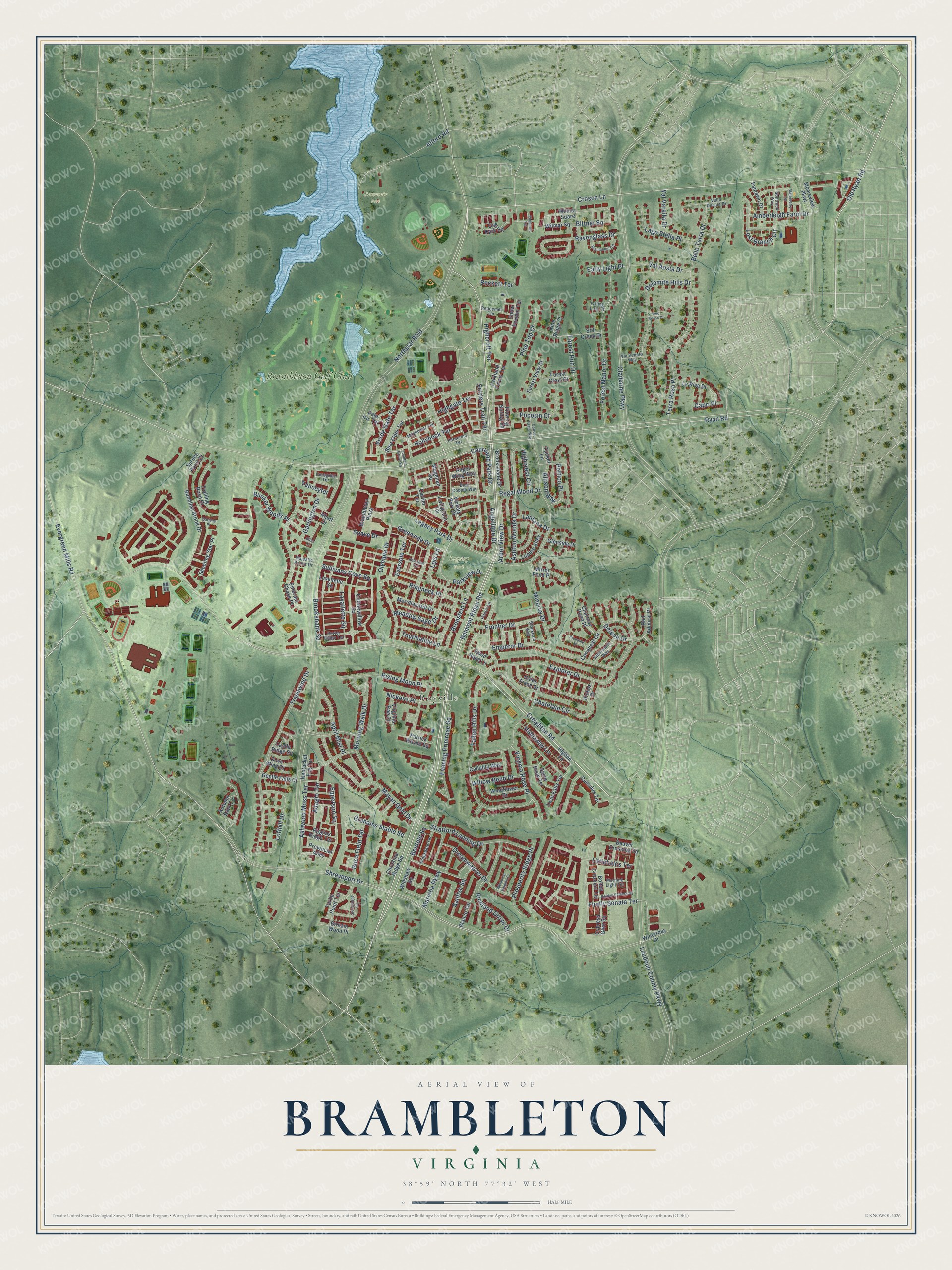
Street and place names on the Brambleton, Virginia map
These names are printed on the map of Brambleton, Virginia.
Places: Legacy Park, Reservoir Park, Royville and Brambleton Golf Club.
Streets and roads: Regal Wood Drive, Hollyhock Terrace, Belmont Ridge Road, Courtland Park Drive, Creighton Road, Ryan Road, Firefly Sonata Terrace, Shreveport Drive, Sullivans Cove Square, Epperson Square, Amberleigh Farm Drive, Old Ryan Road.
More street names, A to Z
Adagio Terrace, Alford Road, Allison Way, Angelique Drive, Angel Wing Way, April Mist Place, Arbor View Drive, Ashton Woods Drive, Ashwood Moss Terrace, Autumn Rain Circle, Beaver Crossing Square, Beckett Terrace, Belle Terra Drive, Benfold Square, Birnam Wood Place, Bittner Square, Blanco Terrace, Bliss Terrace, Blue Copper Way, Blue Elder Terrace, Boca Field Terrace, Bolton Crescent Terrace, Braemount Circle, Brambleton Plaza, Bronstein Lane, Brooksbank Square, Brookshade Drive, Bubbling Brook Drive, Bunker Woods Place, Callalily Way, Capri Place, Cartier Terrace, Castle Ridge Square, Charmay Pond Place, Chatelain Circle, Christina Ridge Square, Claiborne Parkway, Conquest Circle, Cotton Grass Way, Cottonwillow Square, Croson Lane, Cumulus Terrace, Cypress Glen Square, Darlene Place, Deleon Drive, Dolomite Hills Drive, Dove Wing Court, Dreamweaver Drive, Early Light Place, Emerald Chase Place, Emperor Drive, Evening Primrose Square, Evergreen Mills Road, Eversole Terrace, Explorer Drive, Fairlawn Drive, Fallen Hills Drive, Falling Leaf Court, Ferncrest Terrace, Flowing Spring Square, Forest Crest Court, Forest Manor Drive, Forest Run Drive, Forest View Court, Fountain Grove Square, Frontier Drive, Garlington Drive, Gentle Falls Court, Glenside Drive, Golden Embers Square, Good Hope Lane, Grahams Stable Square, Greenside Drive, Hales Trace Drive, Hickox Drive, Hideaway Lane, Higbee Lane, Highcrest Circle, Highcroft Terrace, Highgate Terrace, Kingsdale Terrace, Kleinsmith Way, Klondike Court, Lago Stella Place, Lantana Drive, La Riva Drive, Lavallette Square, Lavellette Square, Legacy Park Drive, Littlehales Terrace, Livingston Terrace, Lofthill Drive, Lois Lane, Lost Branch Circle, Loudoun County Parkway, Lupine Alley, Magellan Square, Majestic Knolls Drive, Marietta Parkway, Mayan Gold Drive, Mayflower Terrace, Meadow Sage Drive, Memorial Heights Court, Meridian Hill Drive, Minerva Drive, Mirror Pond Place, Mooreview Parkway, Morning Light Terrace, Morning Walk Drive, Nantucket Fog Terrace, Nickens Place, Northstar Boulevard, Oak Park Square, Olympia Drive, Pale Iris Terrace, Parkland Farms Terrace, Parkview Drive, Patrick Wayne Square, Pecos Lane, Peregrine Terrace, Pinecroft Terrace, Pine Ridge Court, Pine Top Court, Pocosin Court, Porter Ridge Terrace, Portico Place, Prosperity Ridge Place, Provincial Alley, Ravenglass Drive, Red Admiral Place, Redeemer Terrace, Redstone Terrace, Rhett Drive, Richland Grove Drive, Riggins Ridge Terrace, Ringneck Place, Rising Moon Place, Sailfish Square, Settlers Trail Terrace, Shooting Star Place, Snow Powder Terrace, Soave Drive, Spice Bush Terrace, Splitrock Way, Spruce Point Court, Still Creek Drive, Stockham Way, Stonemont Circle, Stratford Landing Drive, Terra Rosa Place, Tourmaline Lane, Tradewind Drive, Trailing Rose Court, Tucker Lane, Turtle Point Terrace, Twin Falls Terrace, Val Aosta Drive, Valle Ducale Drive, Val Varaita Drive, Verde Gate Terrace, Via Veneto Way, Vickery Park Drive, Vino Rosso Court, Virginia Rae Court, Virginia Rose Place, Waterberry Terrace, Willow Bend Drive, Willshaw Square, Wilmar Square, Wilmar Suare, Windflower Drive, Winterday Drive, Yanceyter.
See the Brambleton, Virginia map on a wall
The Brambleton map as an 18 x 24 inch print in a black frame.

This beautifully detailed map of Brambleton makes an attractive addition to your office, library, or den, and it can even be used to teach children the geography and history of the area. It also makes a great gift for anyone with Brambleton roots. When you’re done exploring, click here to get your copy of the Brambleton map.