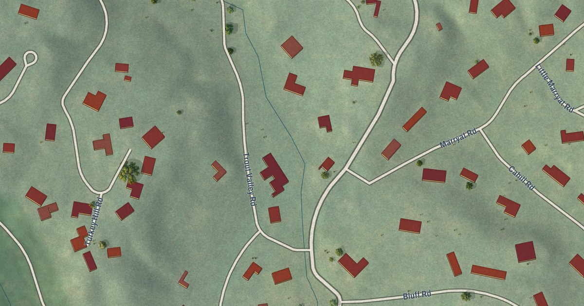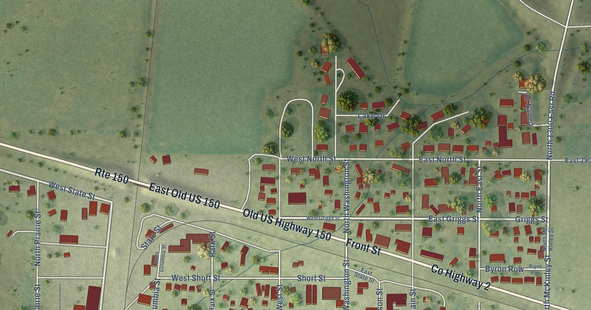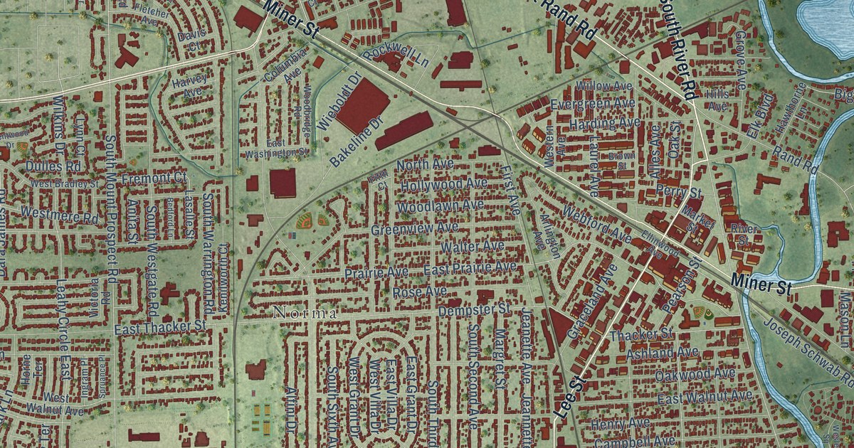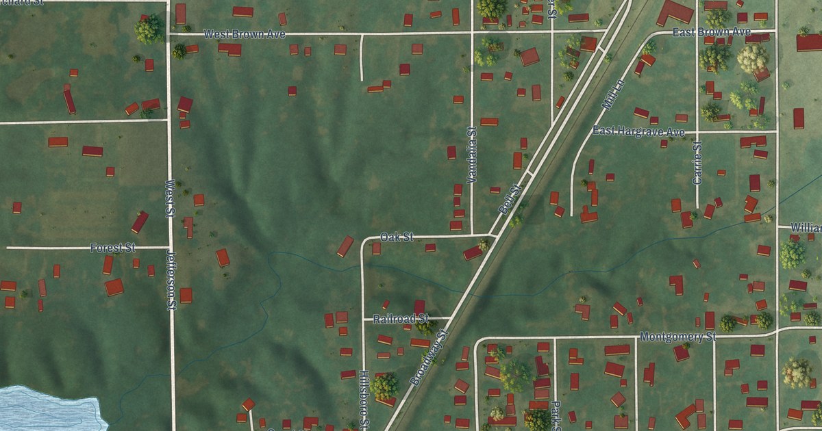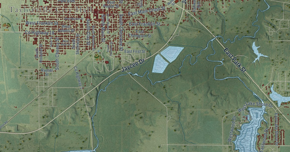
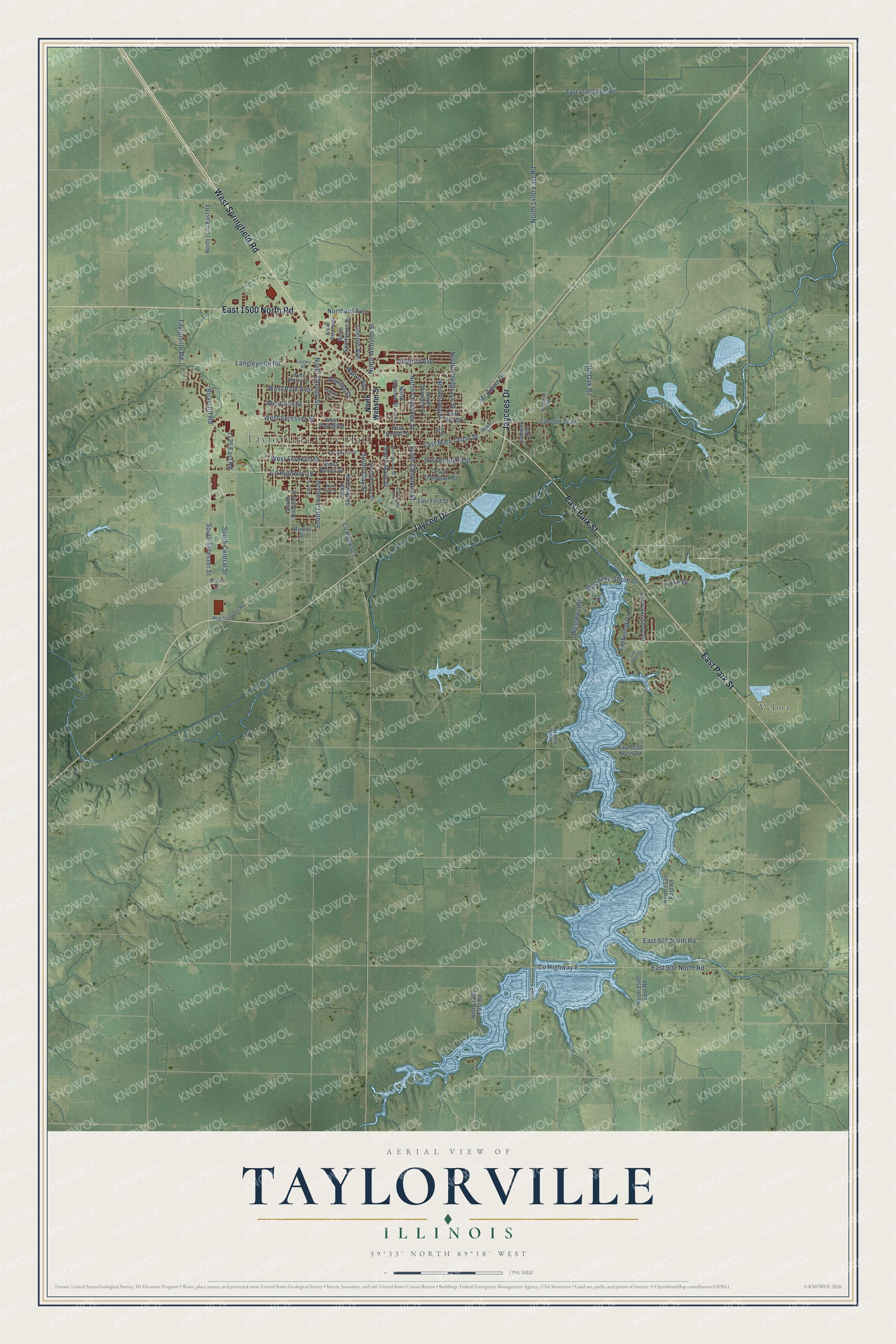
This beautifully detailed map of Taylorville, Illinois was created in 2026 using aerial imagery combined with modern topographical, census, street and landmark data. It’s a one-of-a-kind view of Taylorville that combines accurate data with a vintage aesthetic. The map shows every building in its true location, many of the roads carry their names, and the shaded topographic relief shows the shape of the land.
Explore an aerial view of Taylorville, Illinois
On the map you’ll find Taylorville City Hall and Velma, along with West Springfield Road, Jaycees Drive, East Park Street, Jaycee Drive, East 1500 North Road, East Main Cross Street, South Main Street, North Webster Street, West Spresser Street, County Highway 16, and more. If you look closely you can even find your house accurately drawn in its correct location. Zoom in on the preview to look for yours.
Did you know this piece of Taylorville, Illinois history?
From the Christian County History: "The first train entered the corporation of Taylorville at 5 p. m., October 28th, 1869."
Take a closer look at the Taylorville map
Street and place names on the Taylorville, Illinois map
These names are printed on the map of Taylorville, Illinois.
Places: Taylorville City Hall and Velma.
Streets and roads: West Springfield Road, Jaycees Drive, East Park Street, Jaycee Drive, East 1500 North Road, East Main Cross Street, South Main Street, North Webster Street, West Spresser Street, County Highway 16, Briarcliff Road, South Clay Street.
More street names, A to Z
1125 East Road, Clearing Avenue, County Highway 1, County Highway 8, East 900 North Road, East 925 North Road, East 1100 North Road, East 1700 North Road, East Ash Street, East First Street, East Franklin Street, East Lake Shore Drive, East Poplar Street, East Thompson Street, Eastwood Drive, Fairway Avenue, Haner Avenue, Kenton Boulevard, Knute Rockne Drive, Lake Drive, Lake Vista Drive, Langley Road, Langleyville Road, Lincoln Avenue, Lincoln Trail, Long Street, Marfell Drive, Mc Adam Drive, North 1100 East Road, North 1350 East Road, North 1400 East Road, North 1500 East Road, North 1530 East Road, North Cheney Street, North Cherokee Street, Northern Avenue, North Long Street, North Pawnee Street, North Shawnee Street, North Snodgrass Street, North Sportsman Drive, Old Oak Road, Pauline Street, Russel Street, Silver Street, South Central Street, South Cheney Street, South Cherokee Street, South Florence Street, South Houston Street, South Hunt Road, South Shumway Street, South Spresser Street, South Walnut Street, South Webster Street, Taylorville Road, Virginia Avenue, Walnut Street, Water Street, West Adams Street, West Elm Street, West Franklin Street, West Lake Shore Drive, West Market Street, West Park Avenue, West Park Boulevard, West Pauline Street, West Rich Street, West Sangamon Road, Westwood Drive, Woodbine Road.
See the Taylorville, Illinois map on a wall
The Taylorville map as an 18 x 24 inch print in a black frame.

This beautifully detailed map of Taylorville makes an attractive addition to your office, library, or den, and it can even be used to teach children the geography and history of the area. It also makes a great gift for anyone who grew up in Taylorville or moved away. When you’re done exploring, click here to get your copy of the Taylorville map.