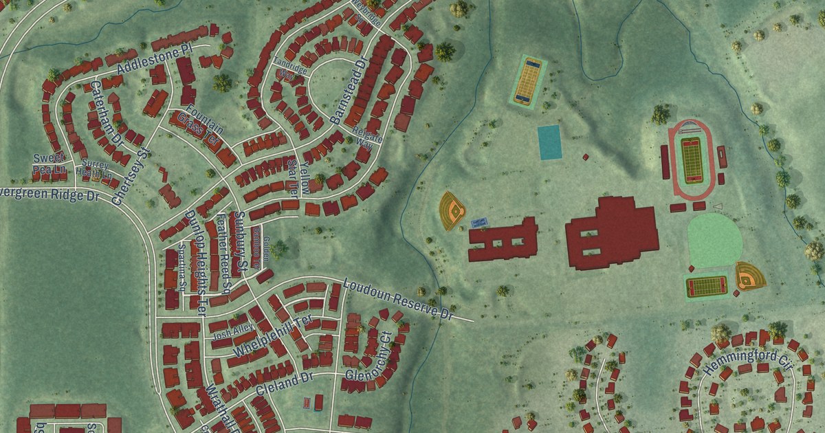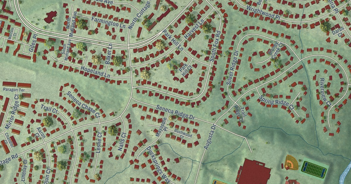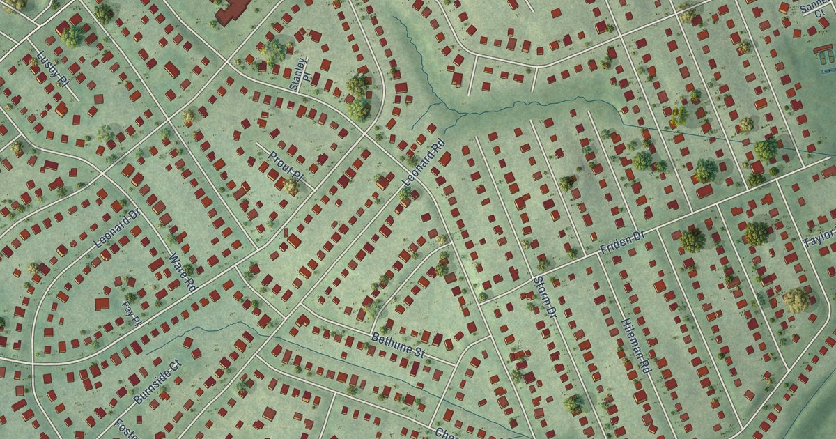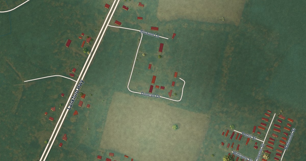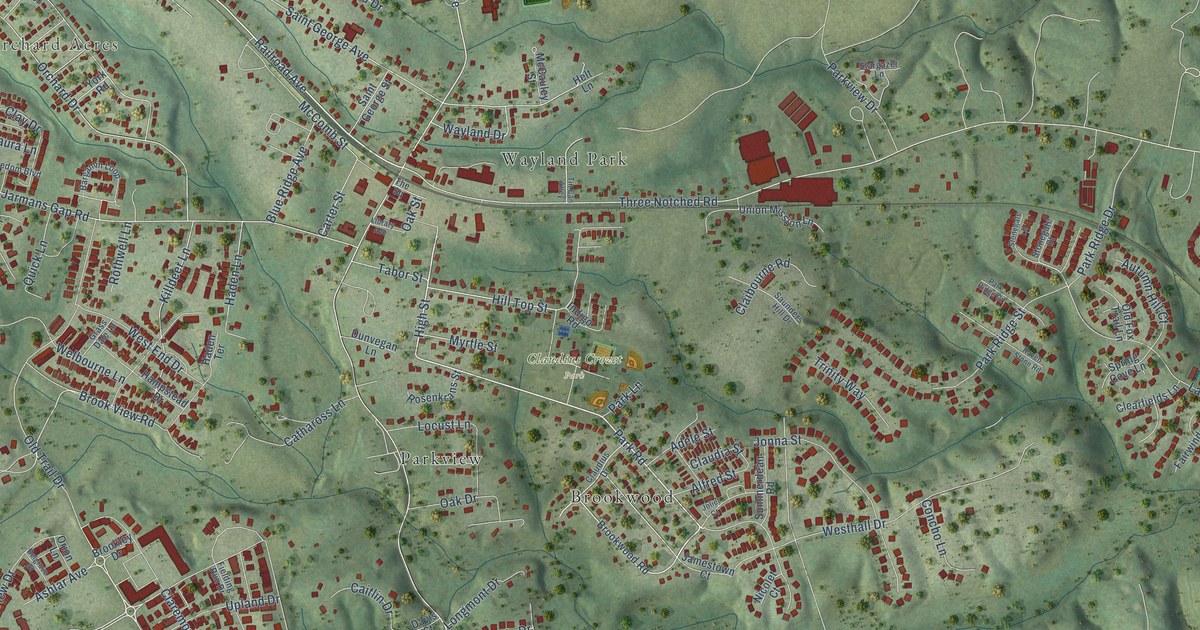
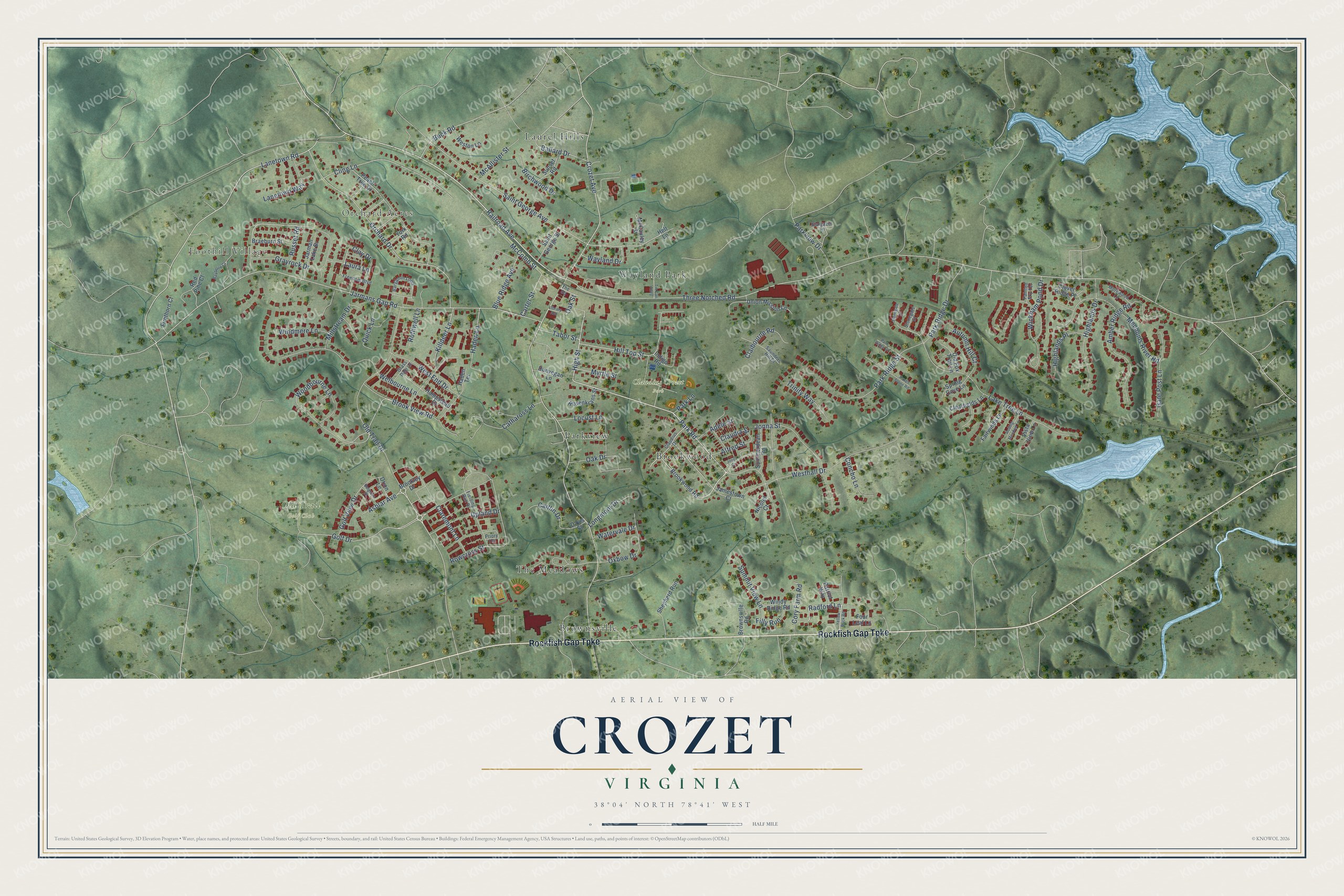
This beautifully detailed map of Crozet, Virginia was created in 2026 using aerial imagery combined with modern topographical, census, street and landmark data. It’s a one-of-a-kind view of Crozet that combines accurate data with a vintage aesthetic. The map shows every building in its true location, many of the roads carry their names, and the shaded topographic relief shows the shape of the land.
Explore an aerial view of Crozet, Virginia
On the map you’ll find Foothill Village, Orchard Acres, Claudius Crozet Park, Old Trail Golf Club, Brookwood, Brownsville, Laurel Hills, Parkview, The Meadows, and Wayland Park, along with Rockfish Gap Turnpike, Park Road, and more. If you look closely you can even find your house accurately drawn in its correct location. Zoom in on the preview to look for yours.
Did you know this piece of Crozet, Virginia history?
From Vcris.dhr.virginia.gov: "The town grew around a rail stop established on Wayland's farm in 1876."
Take a closer look at the Crozet map
Street and place names on the Crozet, Virginia map
These names are printed on the map of Crozet, Virginia.
Places: Foothill Village, Orchard Acres, Claudius Crozet Park, Old Trail Golf Club, Brookwood, Brownsville, Laurel Hills, Parkview, The Meadows and Wayland Park.
Streets and roads: Rockfish Gap Turnpike, Park Road, High Street, Railroad Avenue, Old Trail Drive, Grayrock Drive, Radford Lane, Golf Drive, Crozet Avenue, Lanetown Road, Hill Top Street, Three Notched Road.
More street names, A to Z
Adele Street, Alfred Street, Amber Ridge Road, Ashlar Avenue, Autumn Hill Court, Ballard Drive, Bargamin Loop, Bayberry Court, Belgrove Street, Birchwood Drive, Blue Ridge Avenue, Braeburn Street, Brookley Drive, Brook View Road, Brookwood Road, Brownsville Road, Buck Road, Caitlin Drive, Carter Street, Cathaross Lane, Claibourne Road, Claremont Lane, Claudia Street, Claudius Drive, Clay Drive, Clearfields Lane, Cling Lane, Clover Ridge Place, Concho Lane, Cory Farm Road, Davis Street, Dunvegan Lane, Fairwinds Lane, Fielding Run Drive, Filly Run, Firethorn Court, Four Leaf Lane, Freedom Boulevard, Gate Post Lane, Golf View Drive, Grass Dale Lane, Haden Lane, Haden Terrace, Hampstead Drive, Helt Lane, Highlands Drive, Highlands Place, Indigo Road, Jamestown Court, Jarman Lake Drive, Jarmans Gap Road, Joliet Court, Jonna Street, Killdeer Lane, Lake Tree Lane, Lanetown Way, Laura Lane, Library Avenue, Locust Lane, Longmont Drive, McAllister Street, McCauley Street, McComb Street, Mechums River Road, Millstream Drive, Morewood Lane, Myrtle Street, Nicolet Court, Oak Drive, Oak Street, Old Fox Trail Lane, Orchard Drive, Orion Lane, Oxbow Drive, Painted Sky Terrace, Park Lane, Park Ridge Court, Park Ridge Drive, Park Ridge Street, Parkview Drive, Patriot Way, Peach Tree Drive, Priory Terrace, Quick Lane, Raven Stone Road, Red Pine Court, Rolling Meadow Lane, Rosenkrans Street, Rothwell Lane, Rowcross Street, Russet Road, Saint George Avenue, Saint George Street, Saunders Hill Drive, Shepherd Run, Spring Cove Lane, Stargazer Lane, Stonegate Court, Stonegate Lane, Summerdean Road, Summit View Lane, Sunset Road, Tabor Street, The Square, Tin Can Alley, Trinity Way, Union Mission Lane, Upland Drive, Vista View Lane, Watervale Drive, Wayland Drive, Welbourne Lane, West End Drive, Westhall Drive, Weston Lane, Wickham Pond Drive, Windmere Lane, Windy Ridge Road, Woodbourne Lane, Yellow Brick Road, York Road.
See the Crozet, Virginia map on a wall
The Crozet map as an 18 x 24 inch print in a black frame.

This beautifully detailed map of Crozet makes an attractive addition to your office, library, or den, and it can even be used to teach children the geography and history of the area. It also makes a great gift for anyone with Crozet roots. When you’re done exploring, click here to get your copy of the Crozet map.