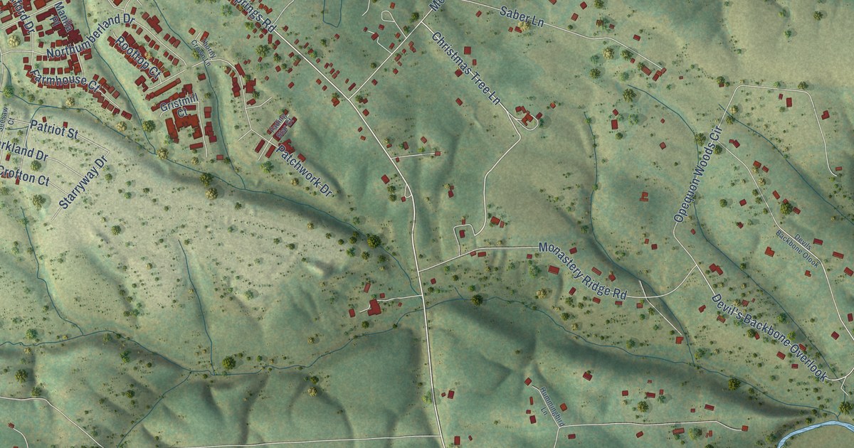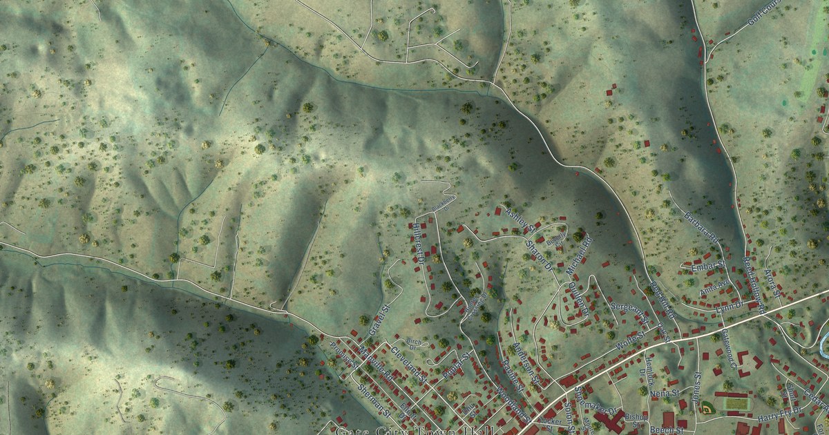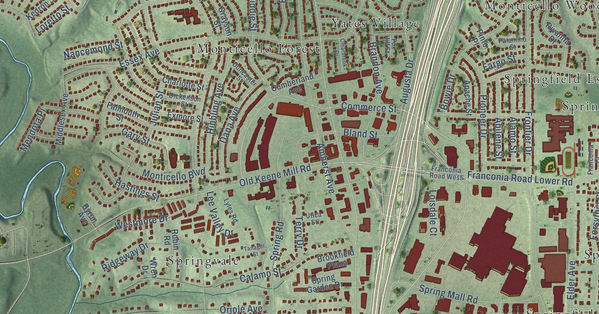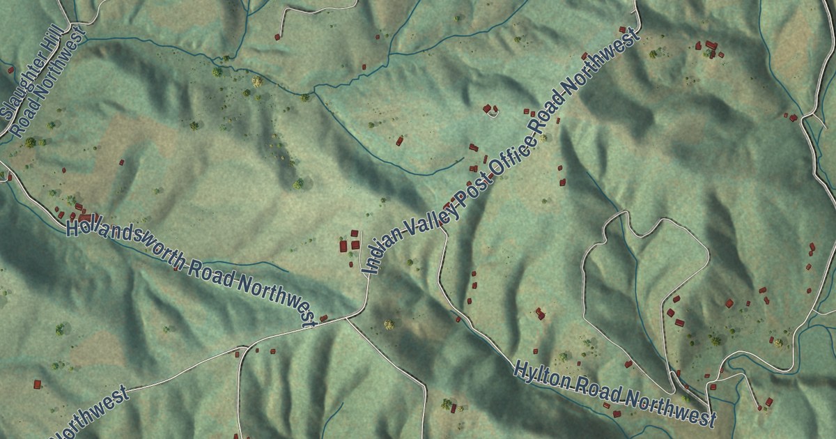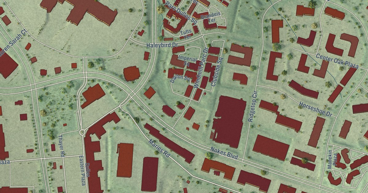
This beautifully detailed map of Dulles Town Center, Virginia was created in 2026 using aerial imagery combined with modern topographical, census, street and landmark data. It’s a one-of-a-kind view of Dulles Town Center that combines accurate data with a vintage aesthetic. The map shows every building in its true location, many of the roads carry their names, and the shaded topographic relief shows the shape of the land.
Explore an aerial view of Dulles Town Center, Virginia
On the map you’ll find Dulles Crossing Plaza, Center Oak Plaza, and Stanford Square, along with Harry Flood Byrd Highway, Leesburg Pike, Maries Road, Nokes Boulevard, City Center Boulevard, Dulles Town Circle, Kent Drive, Livingstone Station Street, Atlantic Boulevard, and more. If you look closely you can even find your house accurately drawn in its correct location. Zoom in on the preview to look for yours.
Did you know this piece of Dulles Town Center, Virginia history?
From Loudoun County: "The Dulles Town Center, located at the intersection of Route 28 and Route 7 was developed by the Lerner Enterprises and opened in August 1999."
Take a closer look at the Dulles Town Center map
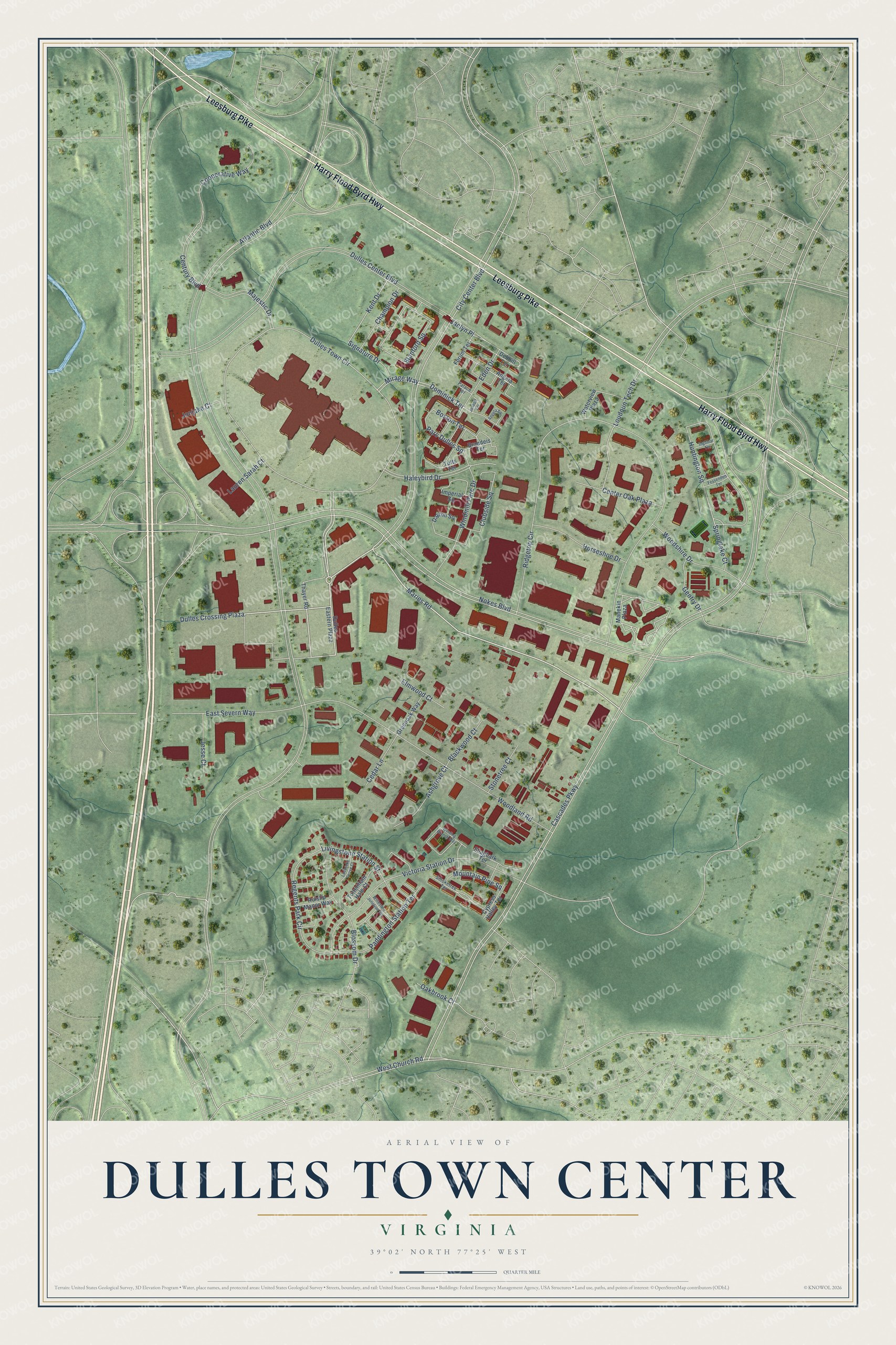
Street names on the Dulles Town Center, Virginia map
These names are printed on the map of Dulles Town Center, Virginia.
Streets and roads: Harry Flood Byrd Highway, Leesburg Pike, Maries Road, Dulles Crossing Plaza, Nokes Boulevard, City Center Boulevard, Dulles Town Circle, Center Oak Plaza, Kent Drive, Stanford Square, Livingstone Station Street, Atlantic Boulevard.
More street names, A to Z
Angela Square, Angela Terrace, Ashgrove Court, Blackwood Court, Blossom Drive, Boston Terrace, Brandeis Terrace, Cascades Parkway, Cedar Lane, Century Boulevard, Champion Drive, Clubside Square, Cooperative Way, Cypress Valley Terrace, Dayton Square, Debhill Terrace, Dominick Terrace, Dulles Center Boulevard, Dulles Eastern Plaza, East Severn Way, Eden Drive, Elmwood Court, Fessenden Terrace, Forum Terrace, Gentry Drive, Greenoak Way, Haleybird Drive, Horseshoe Drive, Huntington Square, Imperial Square, Ingomar Terrace, Jaclyn Place, Jesse Court, Jonjake Court, Joseph Terrace, Ladbroke Grove Court, Lauren Sarah Court, Loudoun Tech Drive, Majestic Drive, Manekin Plaza, Mirage Way, Mountain Pine Square, Oakbrook Court, Paddington Station Terrace, Palace Terrace, Parc Dulles Square, Regents Park Circle, Ridgetop Circle, Ruislip Manor Way, Shagbark Terrace, Signature Drive, Smoketree Terrace, Springlake Court, Stonetree Court, Thayer Road, Tottenham Hale Court, Tufts Terrace, Victoria Station Drive, Waterview Plaza, West Church Road, Willesden Junction Terrace, Winding Branch Way, Windmill Parc Drive, Woodland Road, Woodshire Drive.
See the Dulles Town Center, Virginia map on a wall
The Dulles Town Center map as an 18 x 24 inch print in a black frame.

This beautifully detailed map of Dulles Town Center makes an attractive addition to your office, library, or den, and it can even be used to teach children the geography and history of the area. It also makes a great gift for someone who left Dulles Town Center and still calls it home. When you’re done exploring, click here to get your copy of the Dulles Town Center map.