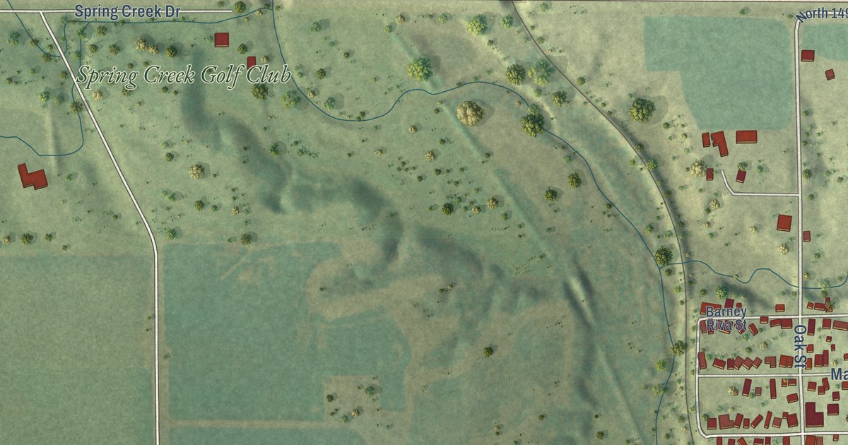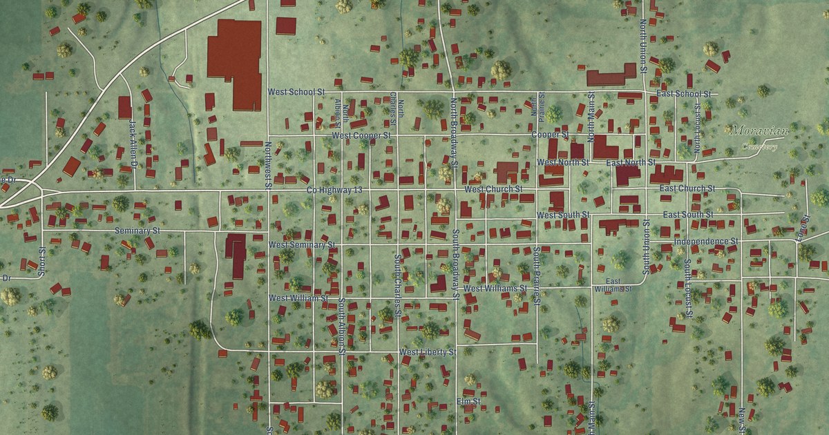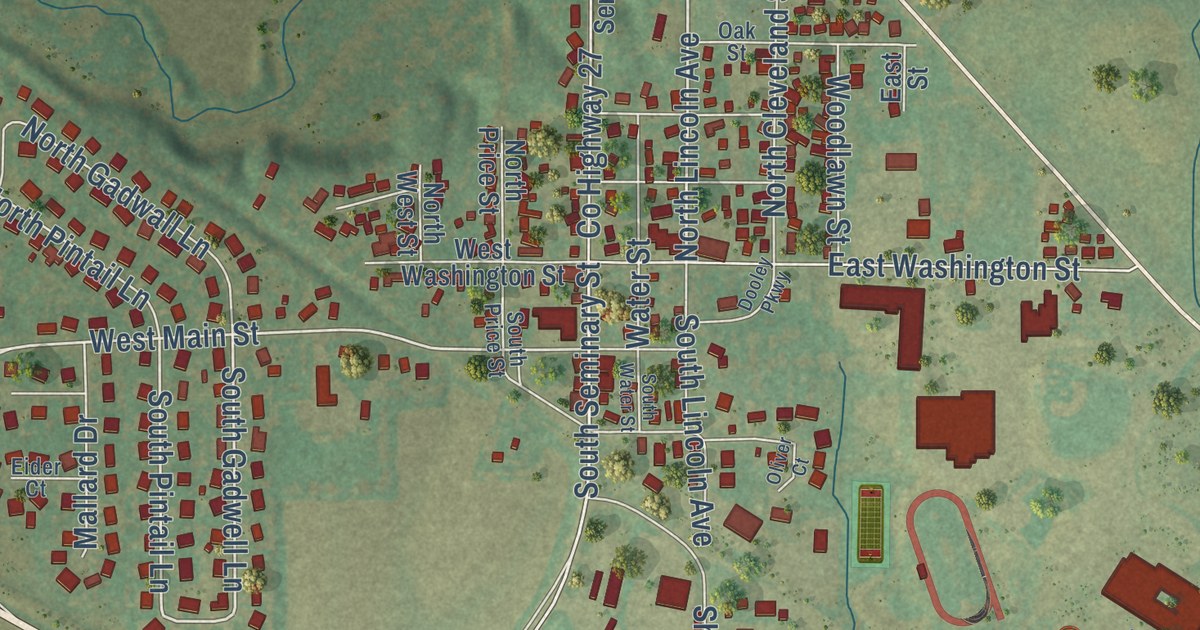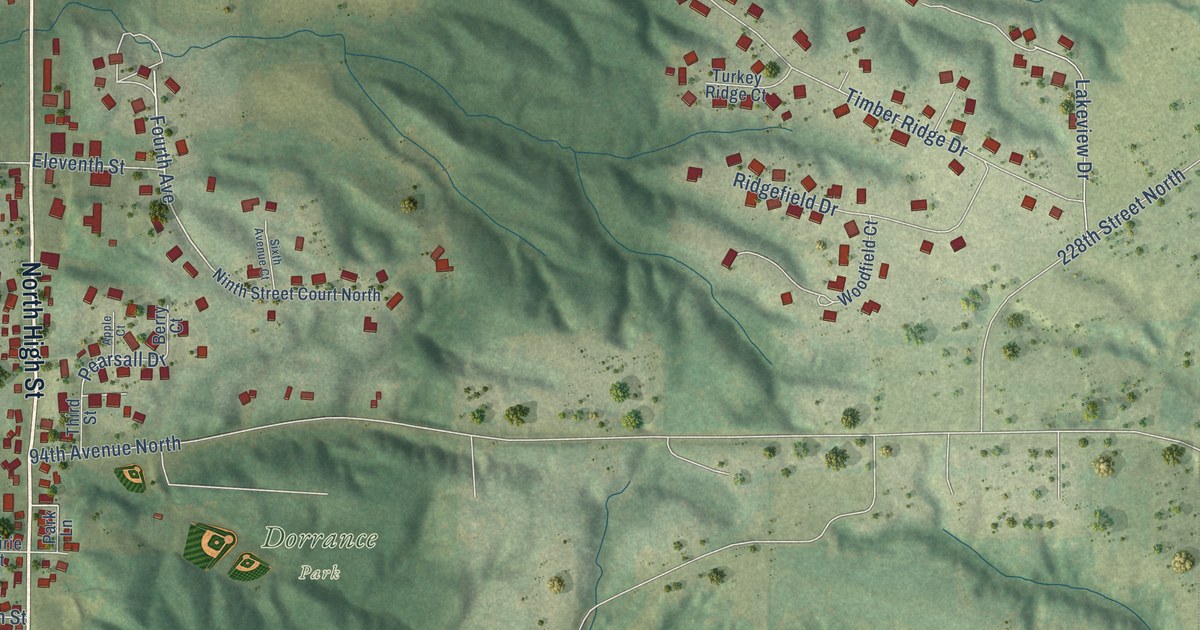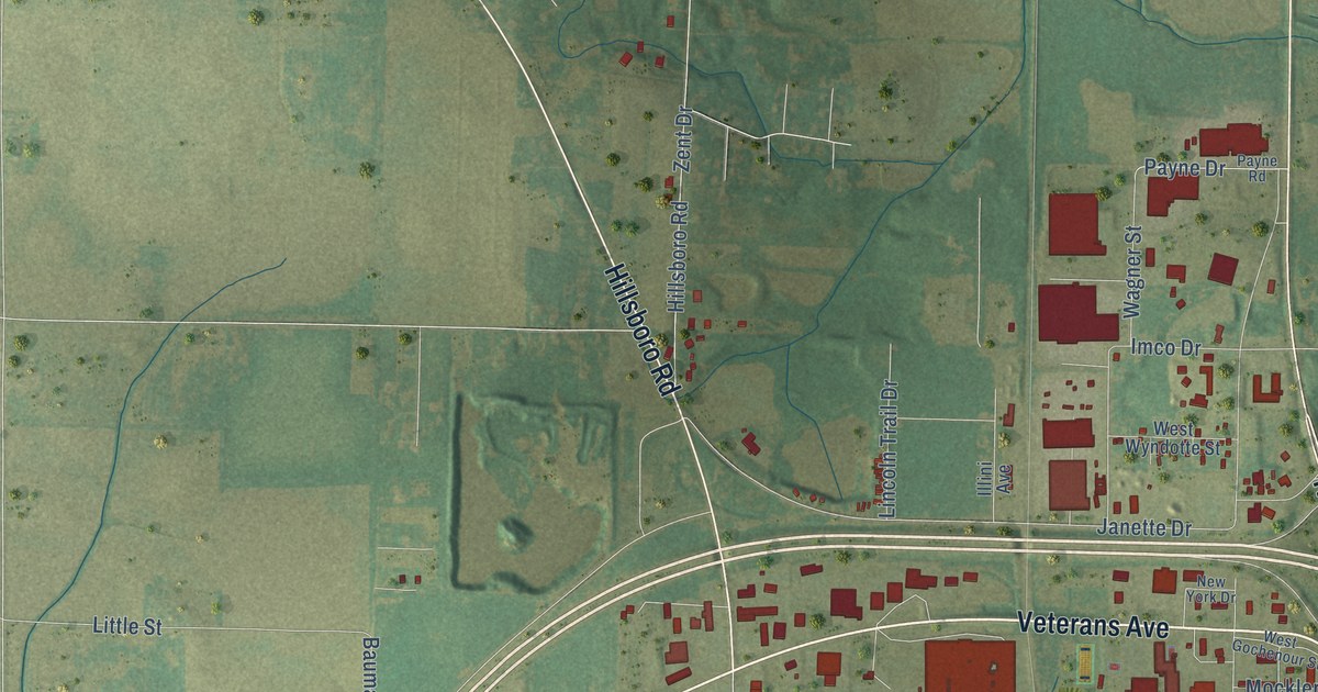
This beautifully detailed map of Vandalia, Illinois was created in 2026 using aerial imagery combined with modern topographical, census, street and landmark data. It’s a one-of-a-kind view of Vandalia that combines accurate data with a vintage aesthetic. The map shows every building in its true location, many of the roads carry their names, and the shaded topographic relief shows the shape of the land.
Explore an aerial view of Vandalia, Illinois
On the map you’ll find Vandalia City Hall, along with Veterans Avenue, Veterans Parkway, West Gallatin Street, North Kennedy Boulevard, Hillsboro Road, West Saint Louis Avenue, Mattes Avenue, West Main Street, West Randolph Street, Sunset Drive, North Fourth Street, and more. If you look closely you can even find your house accurately drawn in its correct location. Zoom in on the preview to look for yours.
Did you know this piece of Vandalia, Illinois history?
Vandalia was founded in 1819 as the new capital of Illinois. The old capital, Kaskaskia, sat on the edge of the state and lived under constant threat of floods. The law promised the capital would stay for twenty years. Before then, settlers had shifted far north, and in 1837 lawmakers voted to move it to Springfield.
Take a closer look at the Vandalia map
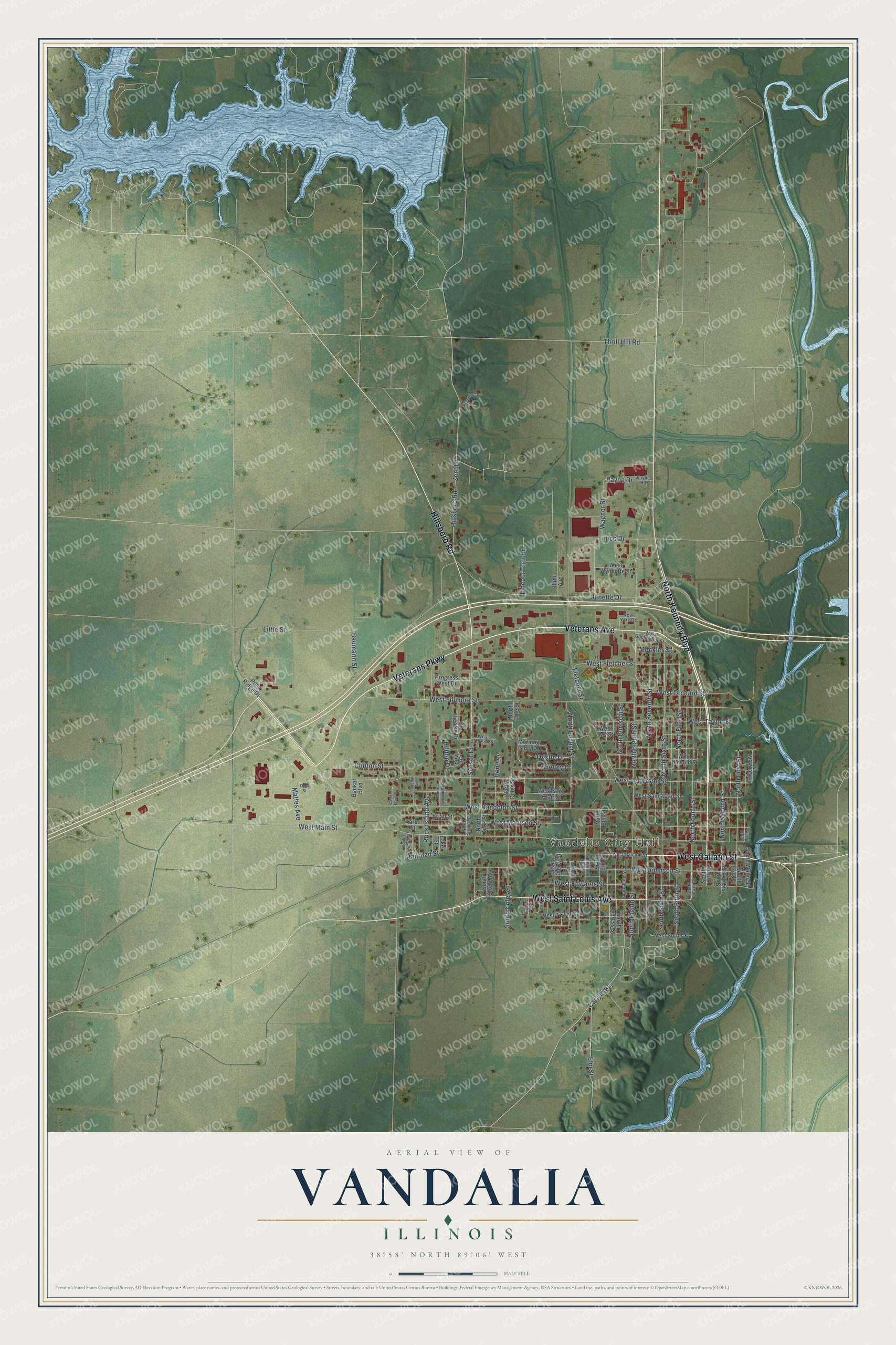
Street and place names on the Vandalia, Illinois map
These names are printed on the map of Vandalia, Illinois.
Places: Vandalia City Hall.
Streets and roads: Veterans Avenue, Veterans Parkway, West Gallatin Street, North Kennedy Boulevard, Hillsboro Road, West Saint Louis Avenue, Mattes Avenue, West Main Street, West Randolph Street, Sunset Drive, North Fourth Street, South Fifth Street.
More street names, A to Z
Banker Boulevard, Baumann Street, Bond Street, Bow Drive, Brian Street, Capitol Point Court, Carlyle Road, Clinton Street, East Main Street, Elm Street, Fletcher Street, Hilltop Drive, Illini Avenue, Imco Drive, Janette Drive, Josephine Drive, Karen Street, Lake Street, Lincoln Trail Drive, Little Street, Magner Street, Mockler Street, Morning Glory Drive, New York Drive, North Adams Street, North Burtschi Street, North Coles Street, North Cole Street, North Cook Street, North Eighth Street, North Elm Street, North Fifth Street, North First Street, North Locust Street, North Sangamon Avenue, North Second Street, North Seventh Street, North Sixth Street, Old Theatre Drive, Opal Street, Payne Drive, Payne Road, Pine Ridge Drive, Progress West Drive, Railroad Street, Riverview Drive, Rock Island Avenue, Shelby Avenue, Shelley Drive, South Cherry Street, South Coles Street, South Cypress Street, South Eighth Street, South Elm Street, South First Street, South Fourth Street, South Locust Street, South Peoria Street, South Pine Street, South Remann Street, South Second Street, South Seventh Street, South Sixth Street, South Stone Avenue, South Third Street, South Water Street, Thistle Drive, Thrill Hill Road, Wagner Street, West Edwards Street, West Fillmore Street, West Fletcher Street, West Gochenour Street, West Jackson Street, West Jay Street, West Jefferson Street, West Johnson Street, West Lincoln Street, West Madison Street, West Orchard Street, West Saint Clair Street, West South Street, West Taylor Street, West Tower Street, West Wyndotte Street, Zent Drive.
See the Vandalia, Illinois map on a wall
The Vandalia map as an 18 x 24 inch print in a black frame.

This beautifully detailed map of Vandalia makes an attractive addition to your office, library, or den, and it can even be used to teach children the geography and history of the area. It also makes a great gift for someone who left Vandalia and still calls it home. When you’re done exploring, click here to get your copy of the Vandalia map.