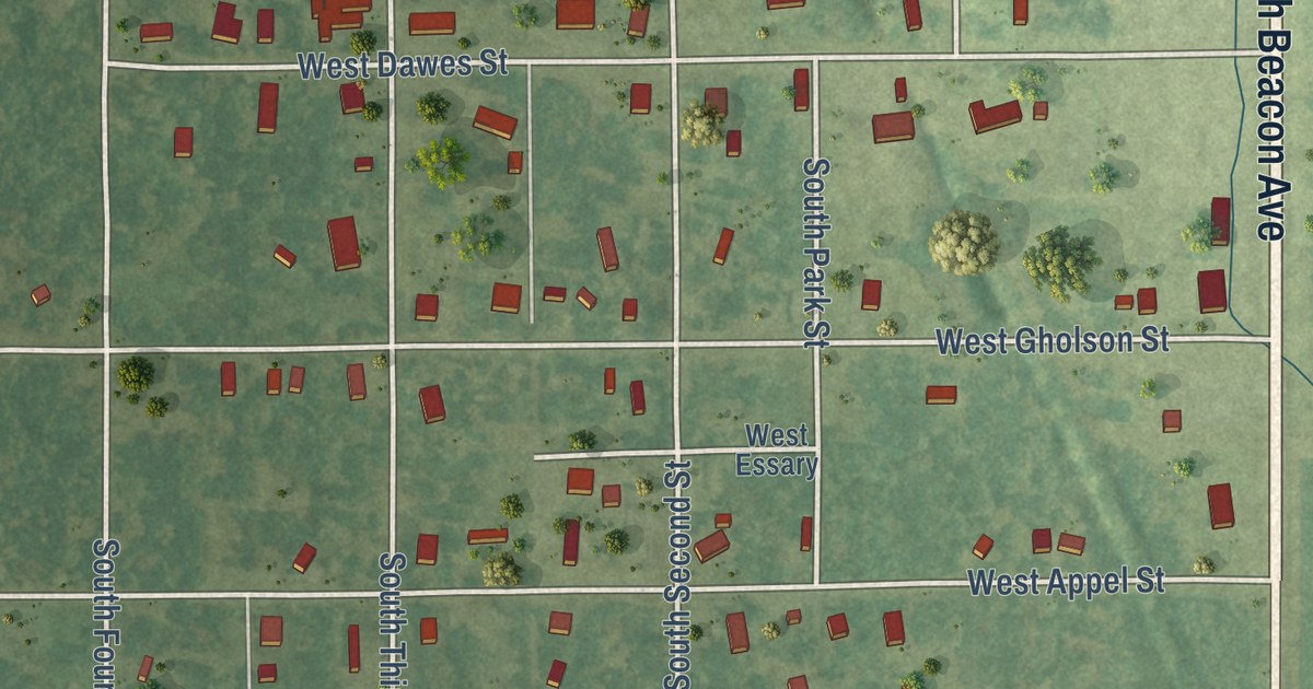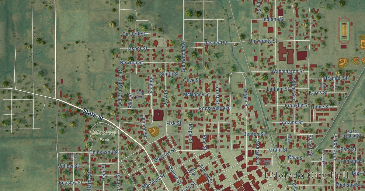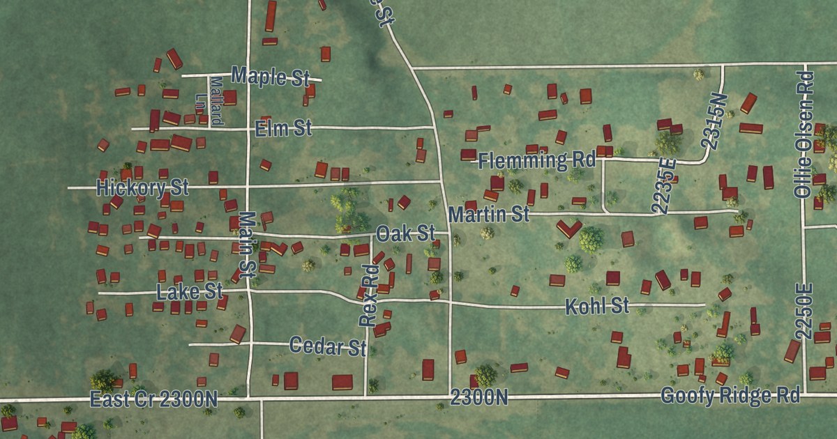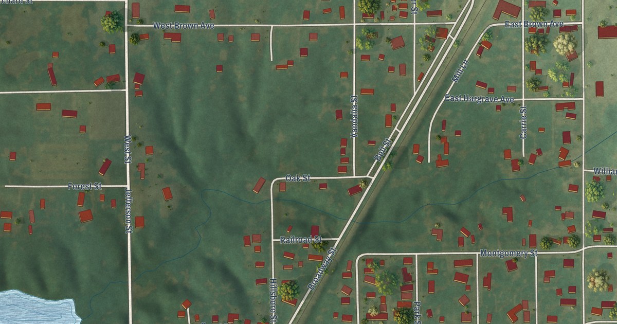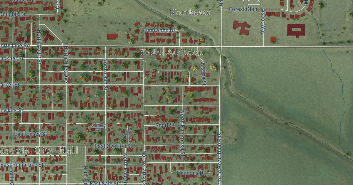
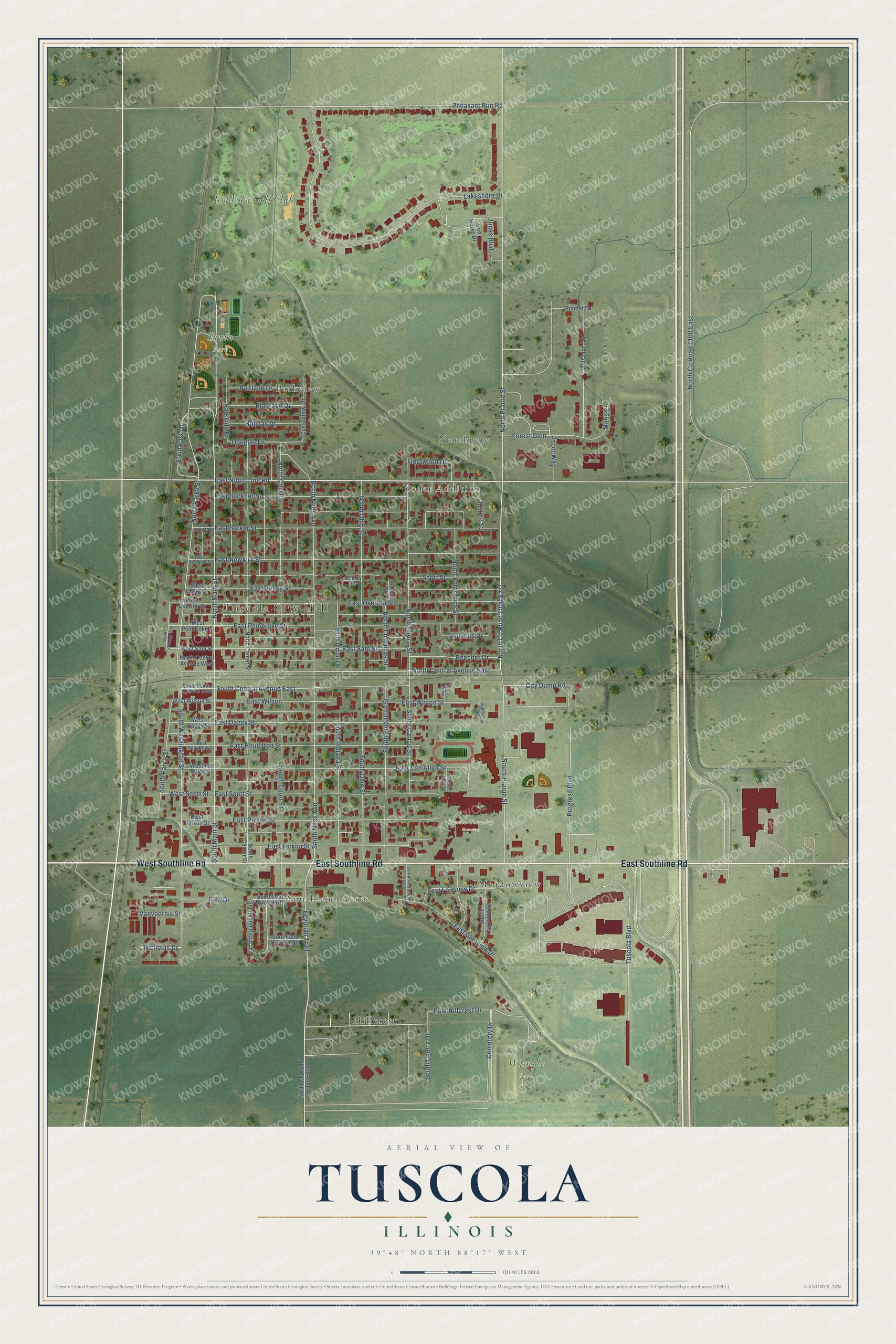
This beautifully detailed map of Tuscola, Illinois was created in 2026 using aerial imagery combined with modern topographical, census, street and landmark data. It’s a one-of-a-kind view of Tuscola that combines accurate data with a vintage aesthetic. The map shows every building in its true location, many of the roads carry their names, and the shaded topographic relief shows the shape of the land.
Explore an aerial view of Tuscola, Illinois
On the map you’ll find Tuscola City Hall, Parkview, Southland Acres, Northgate, Meadowview, Yoder Addition, Ervin Park, Tuscola Township Cemetery, Wimple Park, Hillcrest, and Ironhorse Golf Club, along with West Southline Road, and more. If you look closely you can even find your house accurately drawn in its correct location. Zoom in on the preview to look for yours.
Did you know this piece of Tuscola, Illinois history?
From the History of Douglas County: "The new county was made in two years, Tuscola became the county seat about the same time, and the railroad was built through the county fifteen years after."
Take a closer look at the Tuscola map
Street and place names on the Tuscola, Illinois map
These names are printed on the map of Tuscola, Illinois.
Places: Tuscola City Hall, Parkview, Southland Acres, Northgate, Meadowview, Yoder Addition, Ervin Park, Tuscola Township Cemetery, Wimple Park, Hillcrest and Ironhorse Golf Club.
Streets and roads: West Southline Road, East Southline Road, East North Line Road, North Central Avenue East, North County Road 1050 East, North Main Street, Ervin Park Drive, South Main Street, South Niles Avenue, Egyptian Trail, North Prairie Street, East Hillcrest Drive.
More street names, A to Z
Ascot Way, Beecher Drive, Cemetery Drive, Cherry Street, City Dump Road, Crestview Drive, Douglas Drive, East Barker Street, East Buckner Street, East Daggy Street, East Ensey Street, East Fairview Drive, East Ficklin Street, East Glenview Drive, East Houghton Street, East Newkirk Street, East Overton Street, East Pembroke Street, East Pinzon Street, East Sale Street, East Scott Street, East Van Allen Street, East Wilson, East Wilson Street, Eldorado Drive, Fairlane Drive, Fina Drive, Fleetwood Drive, Forest Glen, Holiday Drive, Iron Horse Drive, Jones Boulevard, Justice Street, Lakeshore Drive, Maris Cv, McPherson Street, Nicholas Drive, North Carico Street, North Center Street, North Central Avenue West, North Chicago Avenue, North County Road 1000 East, North County Road 1100 East, North Court Street, North Embarras Street, North Enterprise Street, North Indiana Street, North Niles Avenue, North Ohio Street, North Parke Street, Parkside Drive, Pheasant Run Road, Ponder Drive, Progress Boulevard, Short Street, South Carico Street, South Center Street, South Central Avenue East, South Central Avenue West, South Cherry Drive, South Court Street, South Eastview Drive, South Embarras Street, South Holt Street, South Indiana Street, South John Street, Southland Circle Drive, Southland Drive North, Southland Drive South, South Meadowview Drive, South Ohio Street, South Parke Street, South Prairie Street, South Washington Street, Sunset Drive, Timmons Drive, Tuscola Boulevard, Vanvoorhis Street, West Barker Street, West Daggy Street, West Ensey Street, West Houghton Street, West Newkirk Street, West Overton Street, West Pembroke Street, West Pinzon Street, West Sale Street, West Scott Street, West Van Allen Street, West Wilson Street, Wilshire Drive.
See the Tuscola, Illinois map on a wall
The Tuscola map as an 18 x 24 inch print in a black frame.

This beautifully detailed map of Tuscola makes an attractive addition to your office, library, or den, and it can even be used to teach children the geography and history of the area. It also makes a great gift for anyone who grew up in Tuscola or moved away. When you’re done exploring, click here to get your copy of the Tuscola map.