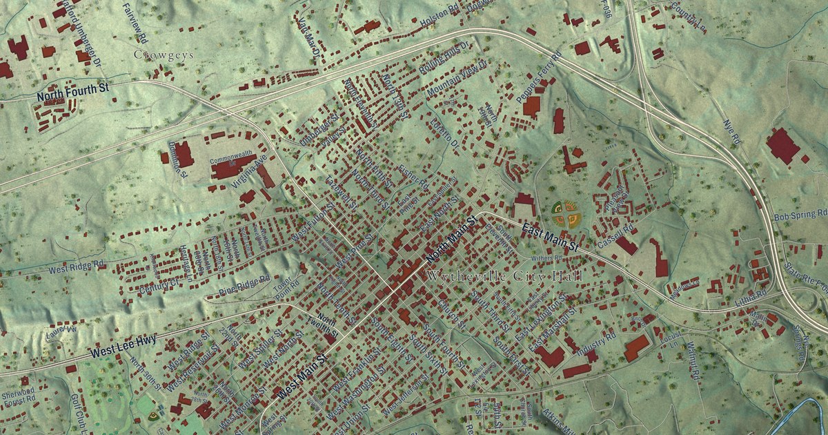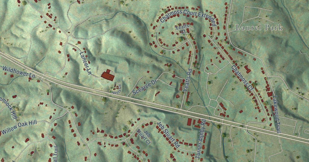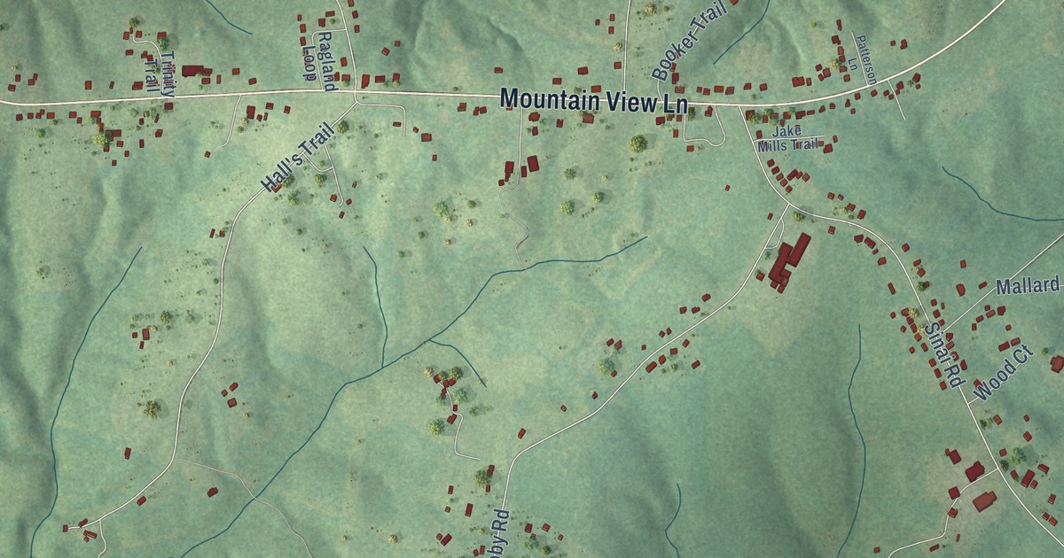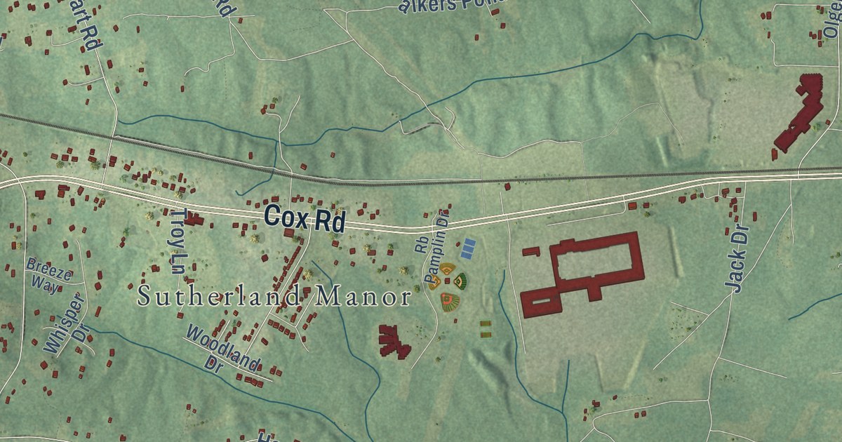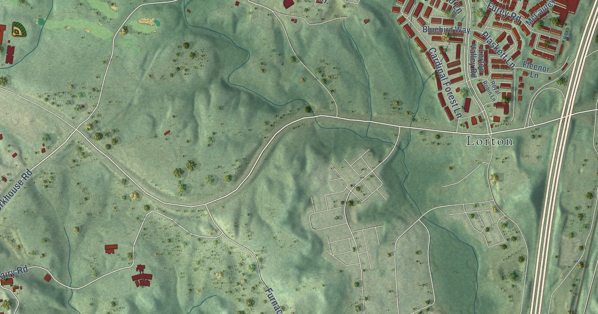
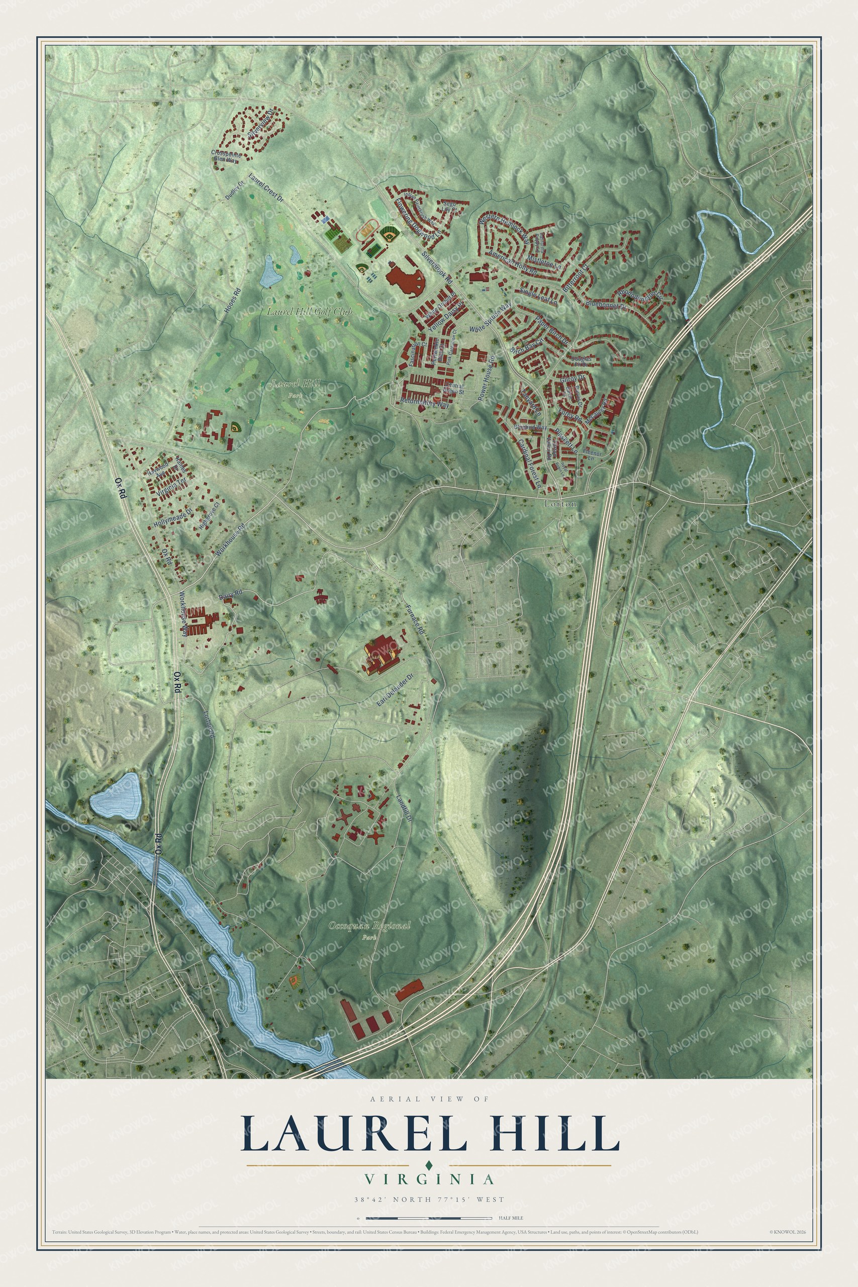
This beautifully detailed map of Laurel Hill, Virginia was created in 2026 using aerial imagery combined with modern topographical, census, street and landmark data. It’s a one-of-a-kind view of Laurel Hill that combines accurate data with a vintage aesthetic. The map shows every building in its true location, many of the roads carry their names, and the shaded topographic relief shows the shape of the land.
Explore an aerial view of Laurel Hill, Virginia
On the map you’ll find Laurel Hill Park, Occoquan Regional Park, Lorton, and Laurel Hill Golf Club, along with Ox Road, Lorton Road, Dairy Road, Workhouse Road, Workhouse Way, Laurel Crest Drive, Silverbrook Road, Furnace Road, and more. If you look closely you can even find your house accurately drawn in its correct location. Zoom in on the preview to look for yours.
Did you know this piece of Laurel Hill, Virginia history?
From Vcris.dhr.virginia.gov: "In the nearby Occoquan Workhouse, from June to December, 1917, scores of women suffragists were imprisoned by the District of Columbia for picketing the White House demanding their right to vote."
Take a closer look at the Laurel Hill map
Street and place names on the Laurel Hill, Virginia map
These names are printed on the map of Laurel Hill, Virginia.
Places: Laurel Hill Park, Occoquan Regional Park, Lorton and Laurel Hill Golf Club.
Streets and roads: Ox Road, Lorton Road, Dairy Road, Workhouse Road, Workhouse Way, Laurel Crest Drive, Silverbrook Road, Furnace Road, Hooes Road, Landfill Drive, Earl Delauder Drive, Paper Birch Drive.
More street names, A to Z
American Holly Road, Birch Bay Circle, Bitterroot Court, Bluebird Way, Bluebonnet Drive, California Poppy Lane, Cardinal Forest Lane, Central Green Street, Crosspointe Glen Way, Douglas Fir Drive, Dudley Drive, Fascination Court, Fleenor Lane, Flowering Dogwood Lane, Furey Road, Galvin Lane, Gilroy Drive, Haines Drive, Haywood Avenue, Highgrove Court, Hollymeade Drive, Indian Paintbrush Way, Lorton Valley Road, McCauley Road, Mistletoe Lane, Periwinkle Blue Court, Pink Carnation Court, Plaskett Lane, Power House Road, Purvis Drive, Reformatory Way, Rhododendron Circle, Royal Robin Lane, Sego Lily Court, Silverview Drive, Single Leaf Lane, Tanyard Lane, Virginia Terrace, Western Hemlock Way, White Orchid Place, White Spruce Way, Yellow Daisy Place.
See the Laurel Hill, Virginia map on a wall
The Laurel Hill map as an 18 x 24 inch print in a black frame.

This beautifully detailed map of Laurel Hill makes an attractive addition to your office, library, or den, and it can even be used to teach children the geography and history of the area. It also makes a great gift for someone who left Laurel Hill and still calls it home. When you’re done exploring, click here to get your copy of the Laurel Hill map.