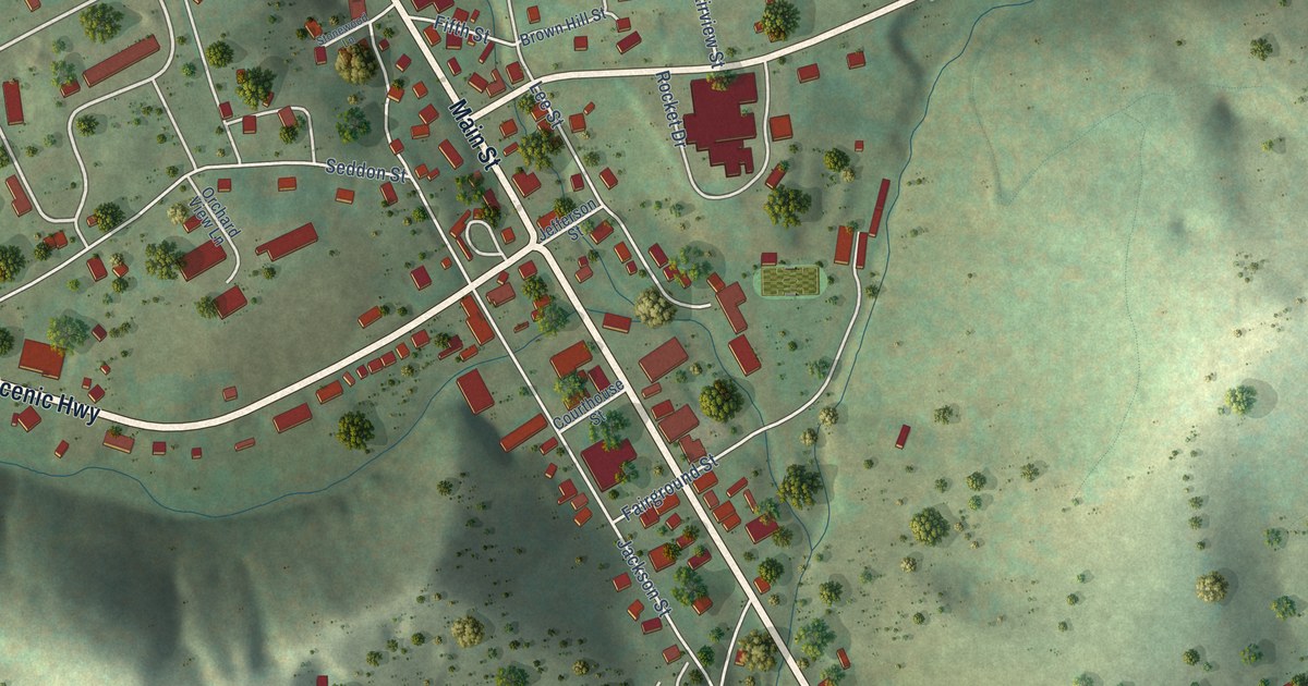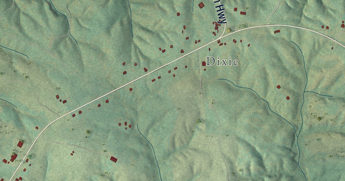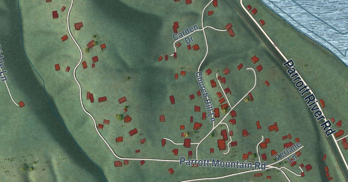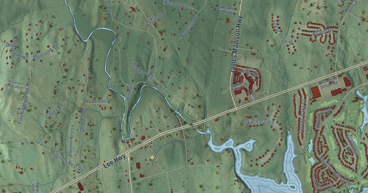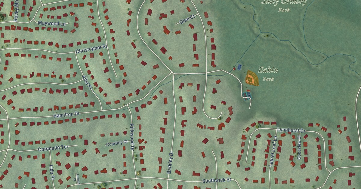
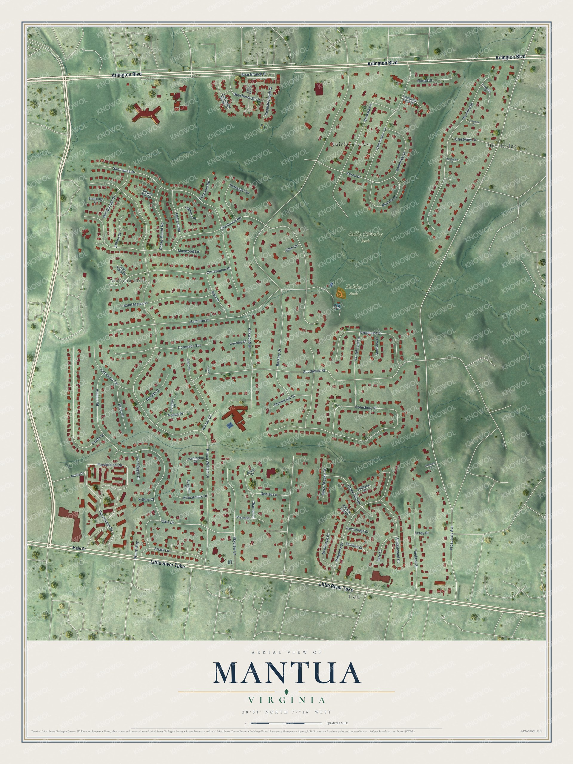
This beautifully detailed map of Mantua, Virginia was created in 2026 using aerial imagery combined with modern topographical, census, street and landmark data. It’s a one-of-a-kind view of Mantua that combines accurate data with a vintage aesthetic. The map shows every building in its true location, many of the roads carry their names, and the shaded topographic relief shows the shape of the land.
Explore an aerial view of Mantua, Virginia
On the map you’ll find Eakin Park, Sally Ormsby Park, Fairfax Forest, Ilda, Mantua Hills, and Pine Ridge, along with Arlington Boulevard, Little River Turnpike, Prosperity Avenue, Glenbrook Road, Prince William Drive, Barkley Drive, and more. If you look closely you can even find your house accurately drawn in its correct location. Zoom in on the preview to look for yours.
Did you know this piece of Mantua, Virginia history?
From the Fairfax County Public Schools: "Mantua Elementary School opened on September 5, 1961, during the post-World War II period known as the baby boom."
Take a closer look at the Mantua map
Street and place names on the Mantua, Virginia map
These names are printed on the map of Mantua, Virginia.
Places: Eakin Park, Sally Ormsby Park, Fairfax Forest, Ilda, Mantua Hills and Pine Ridge.
Streets and roads: Arlington Boulevard, Little River Turnpike, Prosperity Avenue, Glenbrook Road, Prince William Drive, Barkley Drive, Southwick Street, Colesbury Place, Santayana Drive, Hamilton Drive, Acosta Road, Wynford Drive.
More street names, A to Z
Alba Place, Albion Court, Amberley Lane, Autumn Leaf Court, Barbara Lane, Bear Branch Place, Bentwood Court, Bosworth Court, Briary Lane, Briary Way, Brookings Court, Chantal Lane, Chapel Hill Terrace, Chichester Lane, Christopher Street, Colchester Brook Lane, Convento Terrace, Copeland Pond Court, Cordova Place, Coronado Terrace, Courtley Court, Cranleigh Court, Crestview Drive, Denise Lane, Dorado Court, Duvall Street, Eakin Park Court, Edenvale Road, Glade Hill Road, Glenbrook Place, Glen Court, Goodview Court, Grosvenor Court, Guysborough Drive, Horner Court, Karen Drive, Kilmarnock Drive, Kirkwood Drive, Kittery Court, Landon Court, Laro Court, Laurel Leaf Lane, Leamington Court, Leghorn Place, Leroy Place, Lido Place, Lynnhurst Drive, Lynn Regis Court, Main Street, Mantua Drive, Mathy Drive, Maywood Lane, Midland Road, Millbank Court, Mill Springs Drive, Moss Brooke Court, Okla Drive, Parkside Terrace, Pembridge Court, Persimmon Circle, Persimmon Drive, Petros Court, Pineland Street, Pixie Court, Ponce Place, Prado Place, Readsborough Court, Ridgelea Drive, Rocky Mount Road, Saint Marks Place, Saint Pauls Place, Sandalwood Court, Sandy Ridge Court, Skyview Lane, Southlea Court, Stoneleigh Court, Tovito Drive.
See the Mantua, Virginia map on a wall
The Mantua map as an 18 x 24 inch print in a black frame.

This beautifully detailed map of Mantua makes an attractive addition to your office, library, or den, and it can even be used to teach children the geography and history of the area. It also makes a great gift for anyone who grew up in Mantua or moved away. When you’re done exploring, click here to get your copy of the Mantua map.