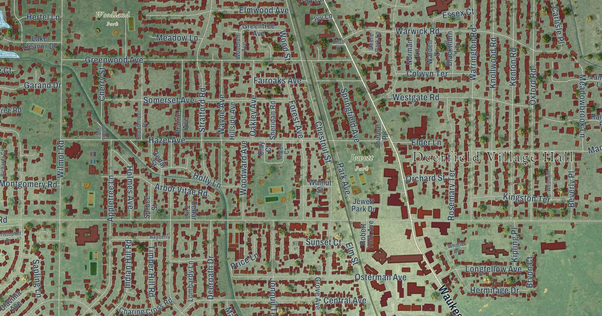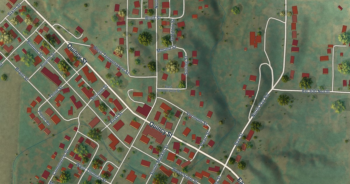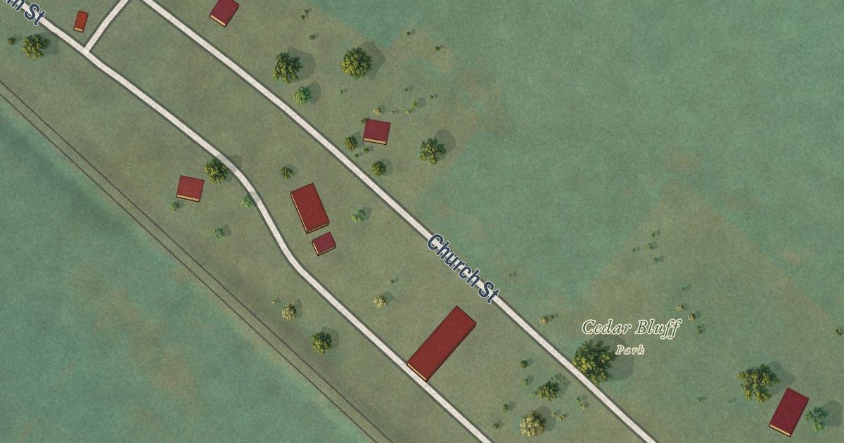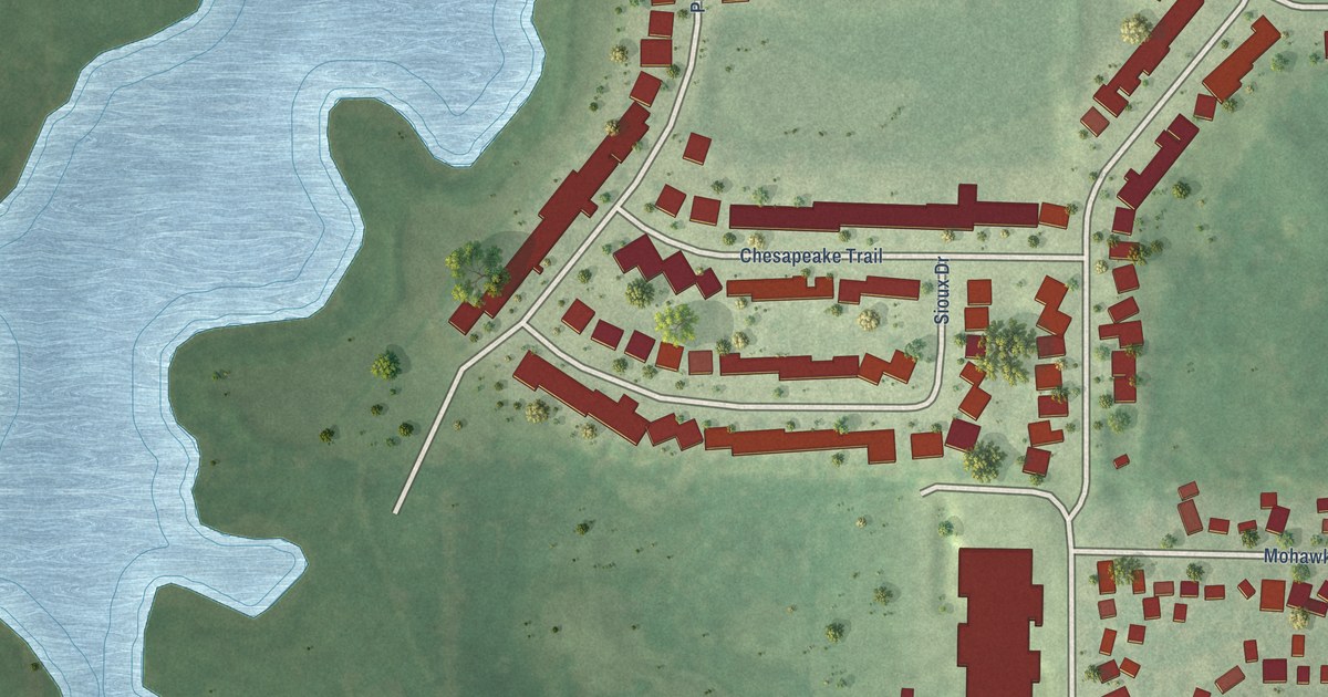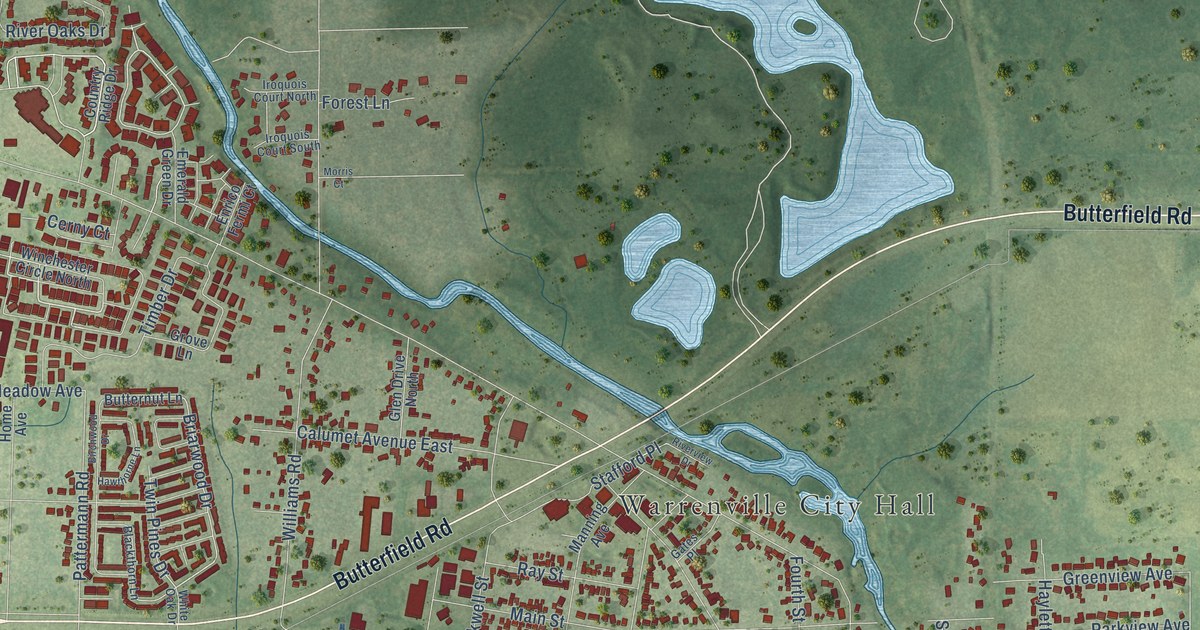
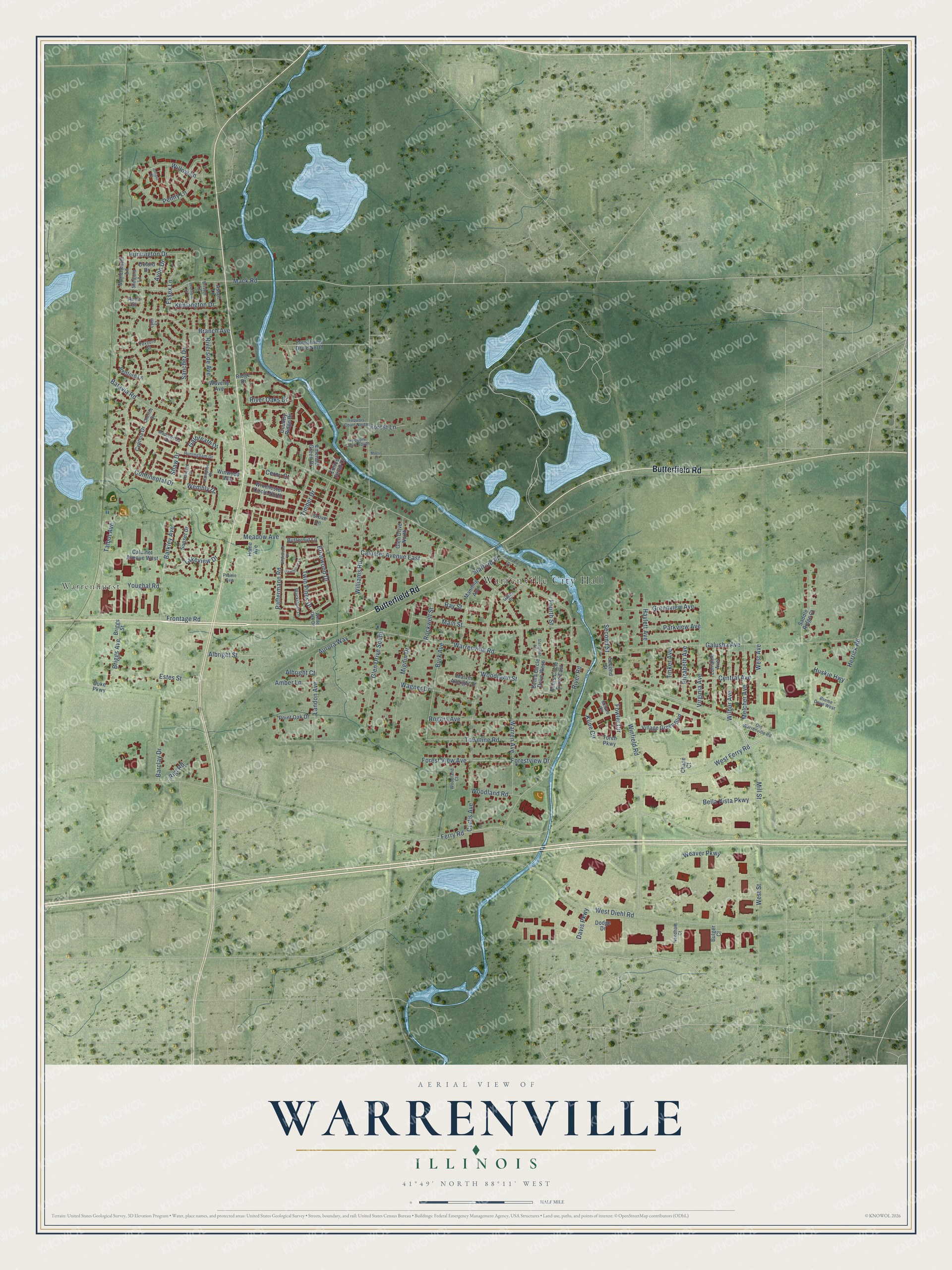
This beautifully detailed map of Warrenville, Illinois was created in 2026 using aerial imagery combined with modern topographical, census, street and landmark data. It’s a one-of-a-kind view of Warrenville that combines accurate data with a vintage aesthetic. The map shows every building in its true location, many of the roads carry their names, and the shaded topographic relief shows the shape of the land.
Explore an aerial view of Warrenville, Illinois
On the map you’ll find Warrenville City Hall and Warrenhurst, along with Butterfield Road, Warrenville Road, Mill Street, Winfield Road, Briggs Avenue, Mack Road, Briarwood Drive, Twin Pines Drive, Barkley Avenue, Weaver Parkway, and more. If you look closely you can even find your house accurately drawn in its correct location. Zoom in on the preview to look for yours.
Did you know this piece of Warrenville, Illinois history?
From the History of Du Page County: "The Warrenville Grist and Merchant Mill was built by Smith & Fowler in 1847."
Take a closer look at the Warrenville map
Street and place names on the Warrenville, Illinois map
These names are printed on the map of Warrenville, Illinois.
Places: Warrenville City Hall and Warrenhurst.
Streets and roads: Butterfield Road, Warrenville Road, Mill Street, Winfield Road, Briggs Avenue, Mack Road, Briarwood Drive, Twin Pines Drive, Barkley Avenue, Weaver Parkway, Meadow Avenue, Batavia Road.
More street names, A to Z
Albright Court, Albright Street, Amber Lane, Ascot Lane, Aurora Way, Avon Court, Avon Drive, Barclay Drive, Bedford Lane, Behrs Circle Drive East, Behrs Circle Drive West, Bella Vista Parkway, Birchwood Drive, Blackthorn Lane, Branch Avenue, Breme Drive West, Briggs Street, Bristol Lane, Bulger Court, Burk Avenue, Butternut Lane, Calumet Avenue East, Calumet Avenue West, Central Avenue, Cerny Court, Chase Court, Cherice Drive, Continental Drive, Country Ridge Drive, Curtis Avenue, Cynthia Drive, Davis Parkway, Deerfield Lane, Dodge Drive, Duke Parkway, Elizabeth Avenue, Emerald Green Drive, Enrico Fermi Court, Essex Lane, Estes Street, Ferry Road, Forest Lane, Forest View Avenue, Forestview Drive, Forestview Drive North, Fourth Street, Fowler Circle, Foxboro Court, Frontage Road, Galbreath Drive, Galusha Avenue, Gates Place, Glen Drive North, Glen Drive South, Greenview Avenue, Grove Lane, Hampton Drive, Harvard Drive, Hawthorne Lane, Haylett Avenue, Herrick Road, Home Avenue, Huntington Drive, Hurlingham Drive, Huskie Highway, Iroquois Court North, Iroquois Court South, Juniper Court, Kensington Drive, Kline Circle, Lakeview Drive, Landon Avenue, Lorraine Avenue, Lynn Court, Main Street, Malvin Albright Street, Manchester Lane, Manning Avenue, Maplewood Drive, Melcher Avenue, Mignin Drive, Millard Circle, Morris Court, Needham Court, Old Warrenville Road, Oxford Drive, Parkview Avenue, Pattermann Road, Penny Lane, Point Oak Drive, Prairie Avenue, Ray Street, Ridge Drive, Rigi Road, River Oaks Drive, River Road, Riverside Avenue, Riverview Drive, Rockwell Street, Rogers Avenue, Saddle Ridge Court, Sanchez Drive, Second Street, Shaw Drive, Sheffield Lane, Stafford Place, Steadman Avenue, Sunset Drive, Talbot Avenue, Timber Drive, Tinker Avenue, Torch Parkway, Townline Road, Village Green Boulevard, Virginia Avenue, Wagner Drive, Warren Avenue, Waverly Avenue, Wembly Drive, West Avenue, West Diehl Road, West Ferry Road, West Street, White Oak Drive, Wilbur Avenue, Williams Road, Willow Lane, Winchester Circle North, Winwood Wlk, Woodland Court, Woodland Road, Woodlawn Street, Youghal Road.
See the Warrenville, Illinois map on a wall
The Warrenville map as an 18 x 24 inch print in a black frame.

This beautifully detailed map of Warrenville makes an attractive addition to your office, library, or den, and it can even be used to teach children the geography and history of the area. It also makes a great gift for anyone with Warrenville roots. When you’re done exploring, click here to get your copy of the Warrenville map.