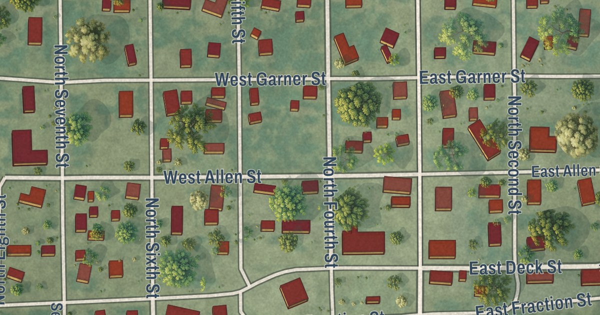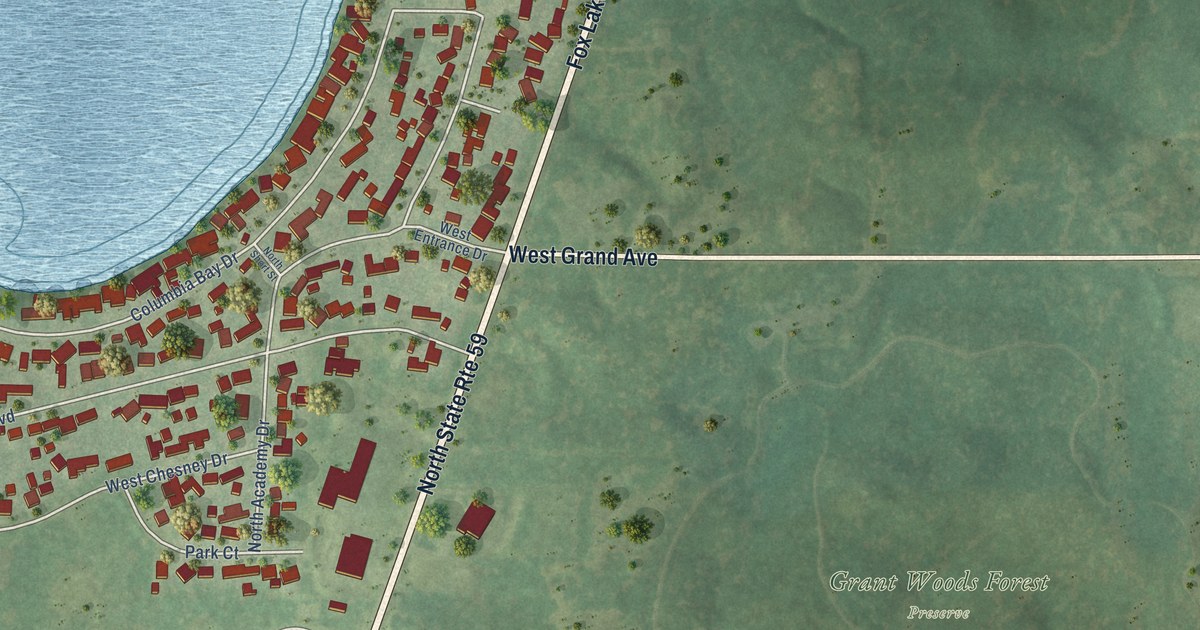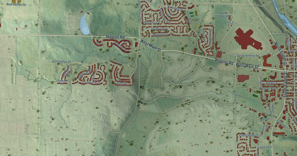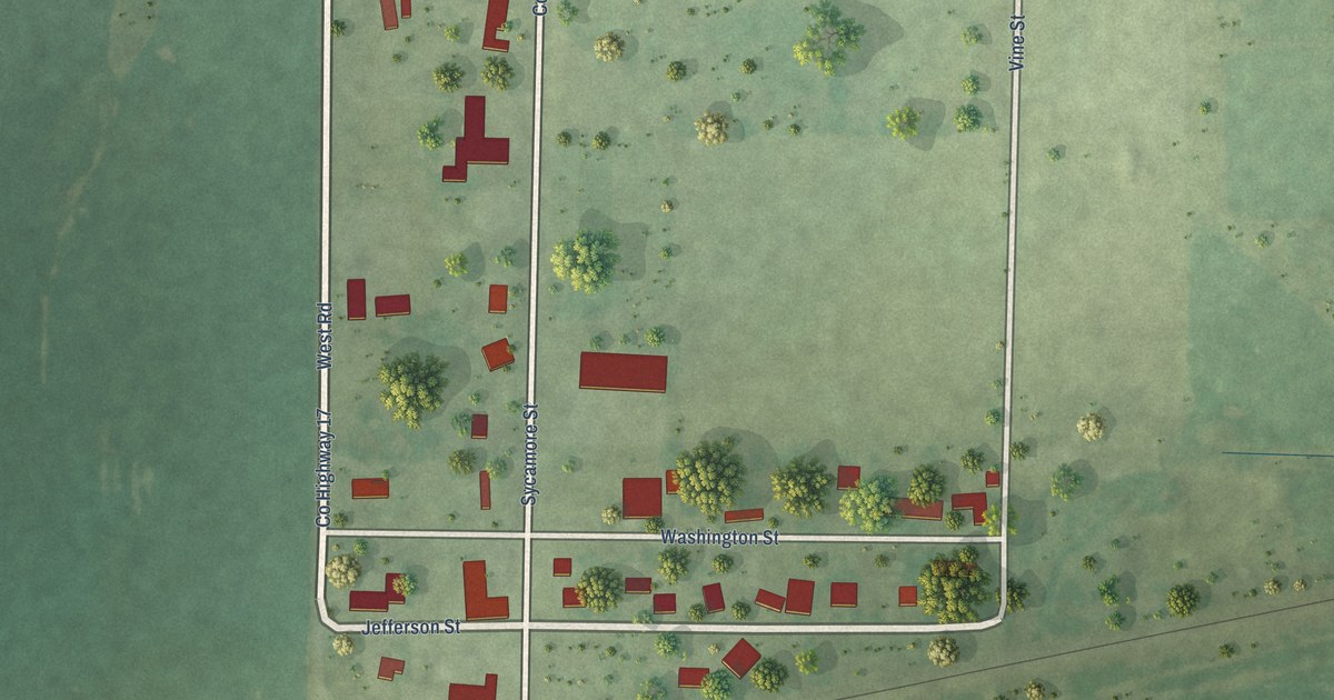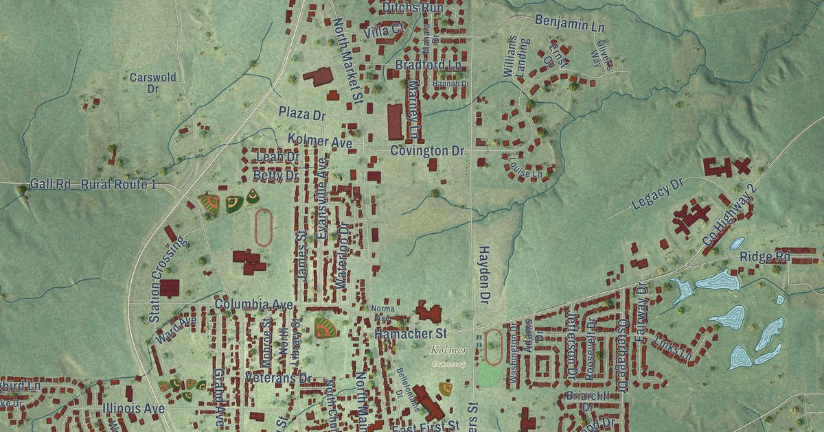
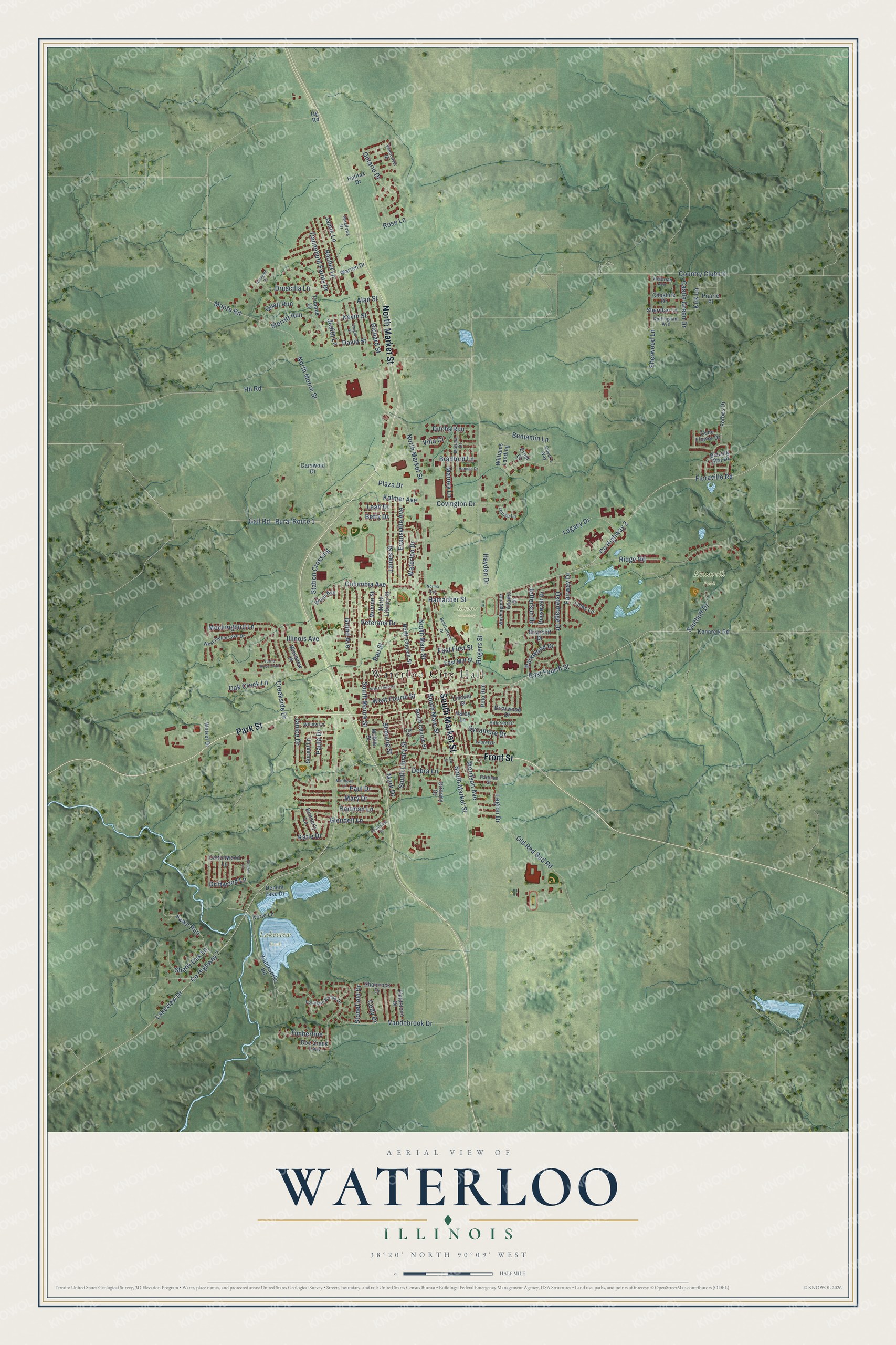
This beautifully detailed map of Waterloo, Illinois was created in 2026 using aerial imagery combined with modern topographical, census, street and landmark data. It’s a one-of-a-kind view of Waterloo that combines accurate data with a vintage aesthetic. The map shows every building in its true location, many of the roads carry their names, and the shaded topographic relief shows the shape of the land.
Explore an aerial view of Waterloo, Illinois
On the map you’ll find Waterloo City Hall, Kolmer Cemetery, Konarcik Park, and Lakeview Park, along with South Market Street, North Market Street, Park Street, Front Street, South Main Street, East Fourth Street, South Moore Street, Plaza Drive, and more. If you look closely you can even find your house accurately drawn in its correct location. Zoom in on the preview to look for yours.
Did you know this piece of Waterloo, Illinois history?
From the Historical Marker Database: "Gradually more settlers arrived in the area that was later to be Waterloo, and by 1782 population of the young settlement had reached 137."
Take a closer look at the Waterloo map
Street and place names on the Waterloo, Illinois map
These names are printed on the map of Waterloo, Illinois.
Places: Waterloo City Hall, Kolmer Cemetery, Konarcik Park and Lakeview Park.
Streets and roads: South Market Street, North Market Street, Park Street, Front Street, South Main Street, East Fourth Street, South Moore Street, Plaza Drive, Country Club Lane, Grand Avenue, Columbia Avenue, Jefferson Drive.
More street names, A to Z
Adams Drive, Alan Street, Avington Drive, Bellefontaine Drive, Benjamin Lane, Betty Drive, Blazing Star Drive, Bradford Lane, Briarcliff Drive, Briarwood Drive, Brittany Court, Carswold Drive, Castle Green Drive, Cheshire Drive, Cody Drive, Cone Flower Drive, Cottonwood Lane, County Highway 2, County Highway 7, Covington Drive, Creekside Drive, Dannehold Farms Drive, David Street, Debra Lane, Demint Lake Drive, Ditchs Run, Doe Creek Trail, Driftwood Lane, Druscilla Lane, Dwight Street, East First Street, East Mill Street, Ernst Court, Evansville Avenue, Fairway Drive, Fawn Run, Fieldstone Drive, Floraville Road, Forbes Drive, Fountain Brook Drive, Gall Road, Gg Road, Glendell Lane, Halifax Drive, Hamacher Street, Hannah Drive, Hardy Lane, Hartman Lane, Hartman Street, Hayden Drive, Hh Road, Hillcrest Drive, Illinois Avenue, James Street, Jamie Lane, Janice Drive, Judith Lane, Katie Drive, Kevin Street, Kimberly Lane, Kirk Lane, Kolmer Avenue, Konarcik Road, Korte Lane, Lakeview Drive, Laurel Drive, Leah Drive, Legacy Drive, Legion Drive, Leo Street, Lincoln Street, Links Lane, Louise Lane, Mahala Drive, Mark Drive, Marney Lane, Mary Drive, Matthews Lane, Meadows Drive, Mobile Street, Mockingbird Lane, Monroe Street, Moore Road, Morrison Avenue, Norma Avenue, North Church Street, North Library Street, North Main Street, North Moore Street, Nottingham Avenue, Oak Creek Lane, Oak Street, Old Red Bud Road, Oliver's Way, Ontario Drive, Osterhage Drive, Parkwood Drive, Paula Drive, Paul Drive, Polo Run, Prairie Place, Quail Run, Rachel Lane, Rau Street, Richard Street, Ridge Road, Rogers Street, Roosevelt Drive, Rose Lane, Rural Route 1, Sauthoff Drive, Shady Oak Lane, Shamrock Drive, Sheridan Lane, Sherwood Lane, South Church Street, South Library Street, Southview Drive, Station Crossing, Sterritt Run, Stiening Street, Stockel Lane, Stonefield Drive, Sunset Lane, Sycamore Drive, Thomas Lane, Timberline, Turtle Dove Trail, Vancouver Drive, Vandebrook Drive, Veterans Drive, Victorian Avenue, Villa Court, Ward Avenue, Warren Drive, Washington Drive, Waterloo Drive, Waterworks Road, West Fallen Lake Drive, West Fourth Street, West Third Street, Westview Place, Wetzel Drive, Williams Landing, Willow Lane.
See the Waterloo, Illinois map on a wall
The Waterloo map as an 18 x 24 inch print in a black frame.

This beautifully detailed map of Waterloo makes an attractive addition to your office, library, or den, and it can even be used to teach children the geography and history of the area. It also makes a great gift for anyone with Waterloo roots. When you’re done exploring, click here to get your copy of the Waterloo map.