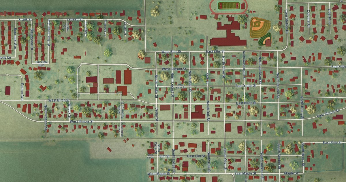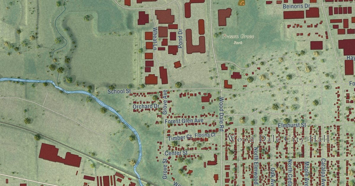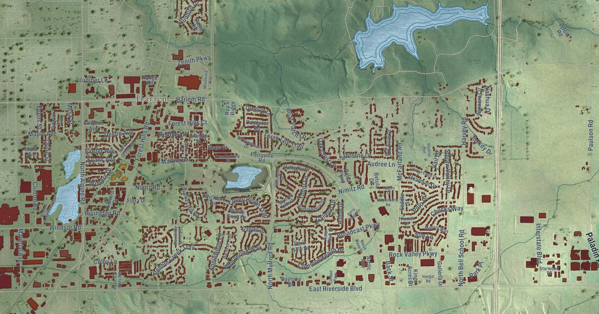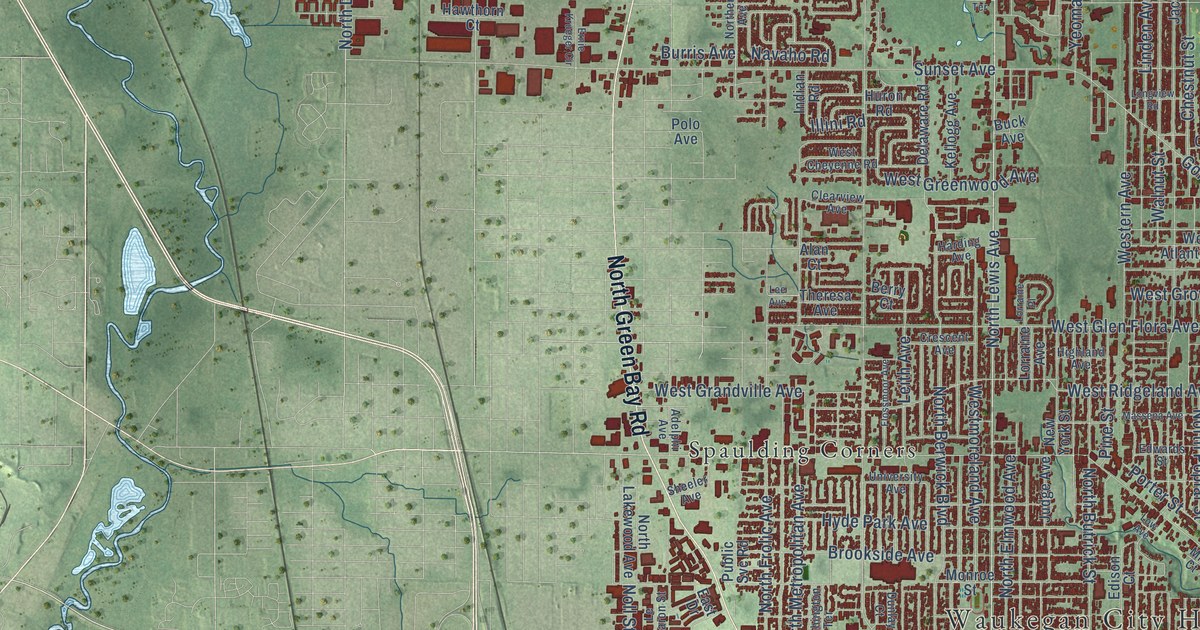
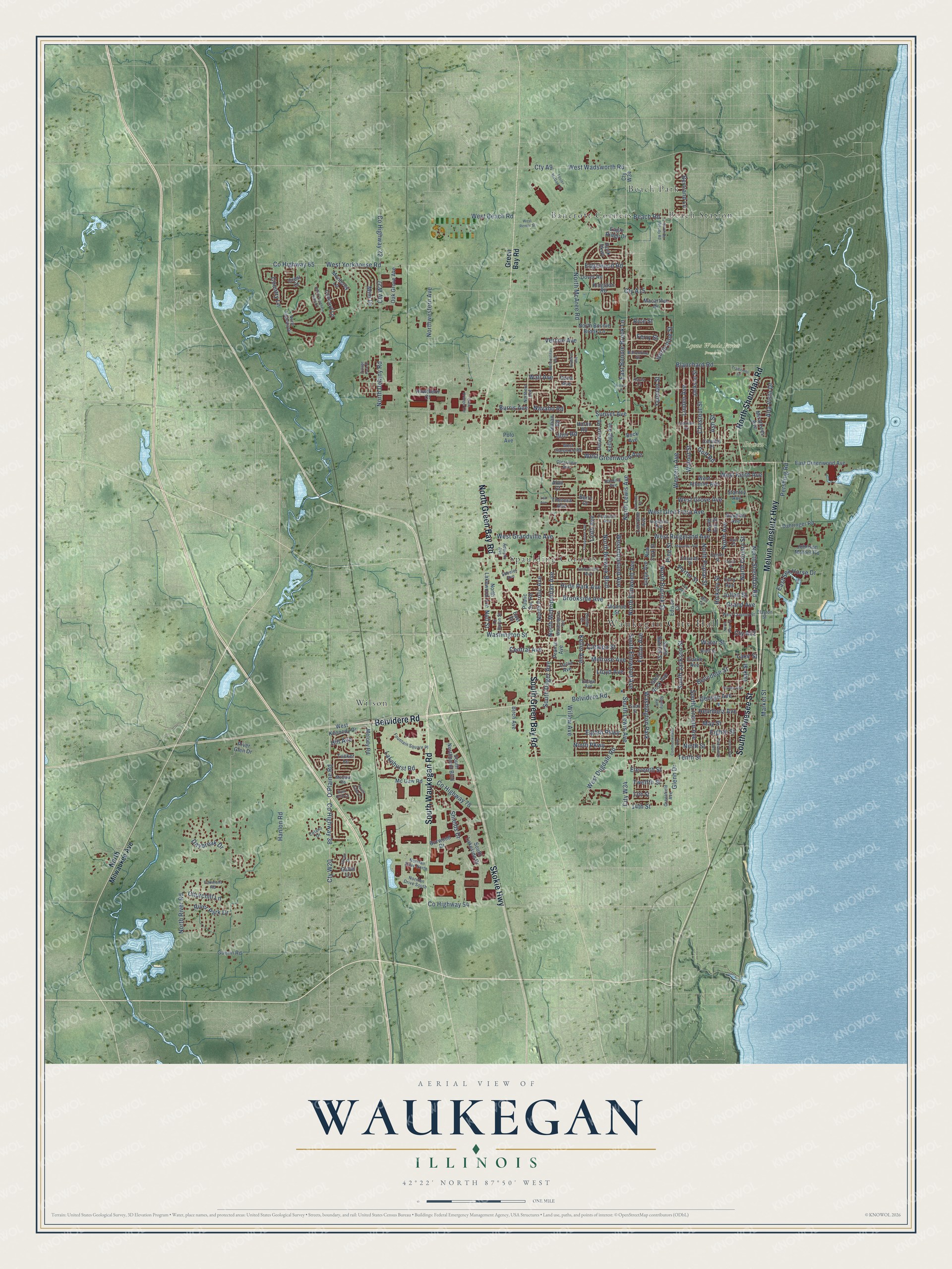
This beautifully detailed map of Waukegan, Illinois was created in 2026 using aerial imagery combined with modern topographical, census, street and landmark data. It’s a one-of-a-kind view of Waukegan that combines accurate data with a vintage aesthetic. The map shows every building in its true location, many of the roads carry their names, and the shaded topographic relief shows the shape of the land.
Explore an aerial view of Waukegan, Illinois
On the map you’ll find Waukegan City Hall, Bowen Park, Lyons Woods Forest Preserve, Bancroft Corners, Beach Park, Beach Station, Spaulding Corners, and Wilson, along with South Genesee Street, North Sheridan Road, Melvin Amstutz Highway, Belvidere Road, and more. If you look closely you can even find your house accurately drawn in its correct location. Zoom in on the preview to look for yours.
Did you know this piece of Waukegan, Illinois history?
From the Lake County History: "The first regular public school house in Waukegan was built on Utica street."
Take a closer look at the Waukegan map
Street and place names on the Waukegan, Illinois map
These names are printed on the map of Waukegan, Illinois.
Places: Waukegan City Hall, Bowen Park, Lyons Woods Forest Preserve, Bancroft Corners, Beach Park, Beach Station, Spaulding Corners, Wilson and Washington Park.
Streets and roads: South Genesee Street, North Sheridan Road, Melvin Amstutz Highway, Belvidere Road, North Green Bay Road, South Waukegan Road, Skokie Highway, South Green Bay Road, City W34, Cty A22, County Highway 38, O'Plaine Road.
More street names, A to Z
13th Street, 14th Street, Adelphi Avenue, Alan Court, Alta Vista Drive, Ash Street, Ballentine Street, Beach Road, Belvidere Street, Benny Avenue, Berry Court, Bertrand Lane, Birch Avenue, Blanchard Road, Bluff Street, Brookside Avenue, Buck Avenue, Burris Avenue, Burwood Drive, Catalpa Street, Celano Drive, Center Street, Central Avenue, Chestnut Street, Churchill Lane, Clarke Avenue, Clayton Street, Clearview Avenue, Colville Place, Commonwealth Avenue, Concord Lane, Cory Avenue, Country Lane, County Highway 22, County Highway 54, County Highway 65, County Highway 78, Crescent Avenue, Crest Court, Cty A9, Cty A15, Cty W20, Cty W27, Cty W34, Dahringer Road, Dana Avenue, Daybreak Drive, Delaware Road, Dodge Avenue, Douglas Avenue, Dover Road, Dunlay Court, Eagle Ridge Drive, East Bonnie Brook Lane, East Drive, East Greenwood Avenue, East Sea Horse Drive, Edgewood Road, Edison Court, Edwards Street, Eighth Parkway, Eighth Street, Eleventh Street, Ernie Krueger Circle, Fairmont Road, Falcon Drive, Ferry Street, Fields Terrace, Flossmoor Avenue, Foster McGaw Drive, Fountain Square Place, Fourth Street, Fulton Avenue, Gavin Lane, George Avenue, Glenn Drive, Glen Rock Avenue, Golf Road, Grand Avenue, Green Bay Road, Greenfield Avenue, Guerin Road, Hanlon Road, Harding Avenue, Hawthorn Court, Helmholz Avenue, Hickory Street, Highland Avenue, Hill Avenue, Hull Court, Huron Road, Hyde Park Avenue, Illini Road, Indian Road, Jackson Street, Johnson Motors Road, Judge Avenue, Julian Street, Kayla Lane, Keller Avenue, Kellogg Avenue, Kingston Road, Lakehurst Road, Lake Street, Le Baron Street, Lee Avenue, Leith Avenue, Lenox Avenue, Linden Avenue, Lloyd Avenue, Longview Road, Lorraine Avenue, Lorraine Place, Low Avenue, Lucia Avenue, Macarthur Drive, Market Street, Massena Avenue, May Street, Mc Gaw Road, McGaw Road, Melody Road, Melrose Avenue, Metropolitan Avenue, Mill Court, Mini Drive, Miraflores Avenue, Monroe Street, Monterey Lane, Navaho Road, New York Street, Ninth Parkway, Ninth Street, Noll Street, Norman Drive North, Norman Drive South, North Ash Street, North Augusta Drive, North Avenue, North Berwick Boulevard, North Bonnie Brook Lane, North Butrick Street, North County Street, North Delany Road, North De Woody Road, North Elmwood Avenue, Northern Avenue, North Frolic Avenue, North Lakewood Avenue, North Lewis Avenue, North McAree Road, North Metropolitan Avenue, North Milwaukee Avenue, North Pine Street, North Poplar Street, North River Road, North Southern Hills Drive, Northwestern Avenue, North West Street, Oak Grove Avenue, Oak Street, Pershing Road, Pine Street, Polo Avenue, Porter Street, Prairie Avenue, Public Svc Road, Ravine Avenue, Rice Street, River Glen Drive, River Park Drive, Roberts Avenue, Rock Parkway, Sheeler Avenue, Shields Drive, Sixth Street, South Butrick Street, South Dilger Avenue, South Elder Lane, South Elmwood Avenue, South Jackson Street, South Lakeside Drive, South Lewis Avenue, South Lincoln Avenue, South Northpoint Boulevard, Stanley Avenue, Sunset Avenue, Tenth Street, Theresa Avenue, Traditions Drive, Tucker Lane, Twelfth Street, University Avenue, Vercoe Avenue, Village Park Drive, Wadsworth Avenue, Wall Avenue, Walnut Street, Washington Street, Washington Terrace, Water Street, West Atlantic Avenue, West Beach Road, West Cheyenne Road, West Clayton Street, West Dugdale Road, Western Avenue, West Glen Flora Avenue, West Grandville Avenue, West Greenwood Avenue, West Grove Avenue, West Keith Avenue, West Kennedy Drive, Westmoreland Avenue, West Quill Lane, West Renier Street, West Ridgeland Avenue, West Wadsworth Road, West Yorkhouse Road, Willow Avenue, Yeoman Street.
See the Waukegan, Illinois map on a wall
The Waukegan map as an 18 x 24 inch print in a black frame.

This beautifully detailed map of Waukegan makes an attractive addition to your office, library, or den, and it can even be used to teach children the geography and history of the area. It also makes a great gift for anyone who grew up in Waukegan or moved away. When you’re done exploring, click here to get your copy of the Waukegan map.