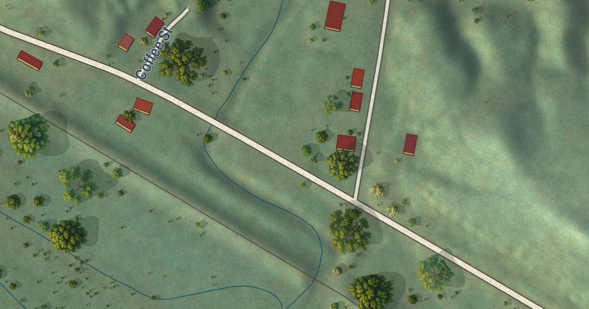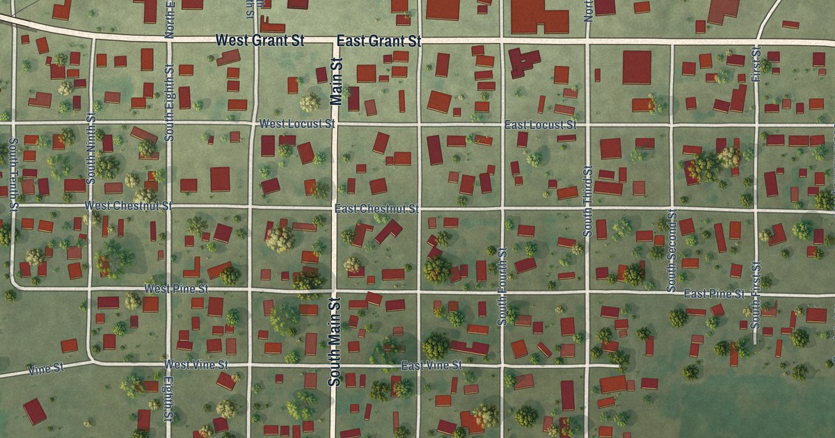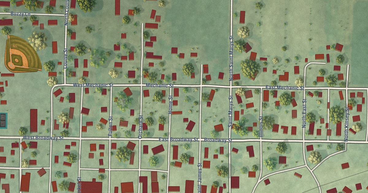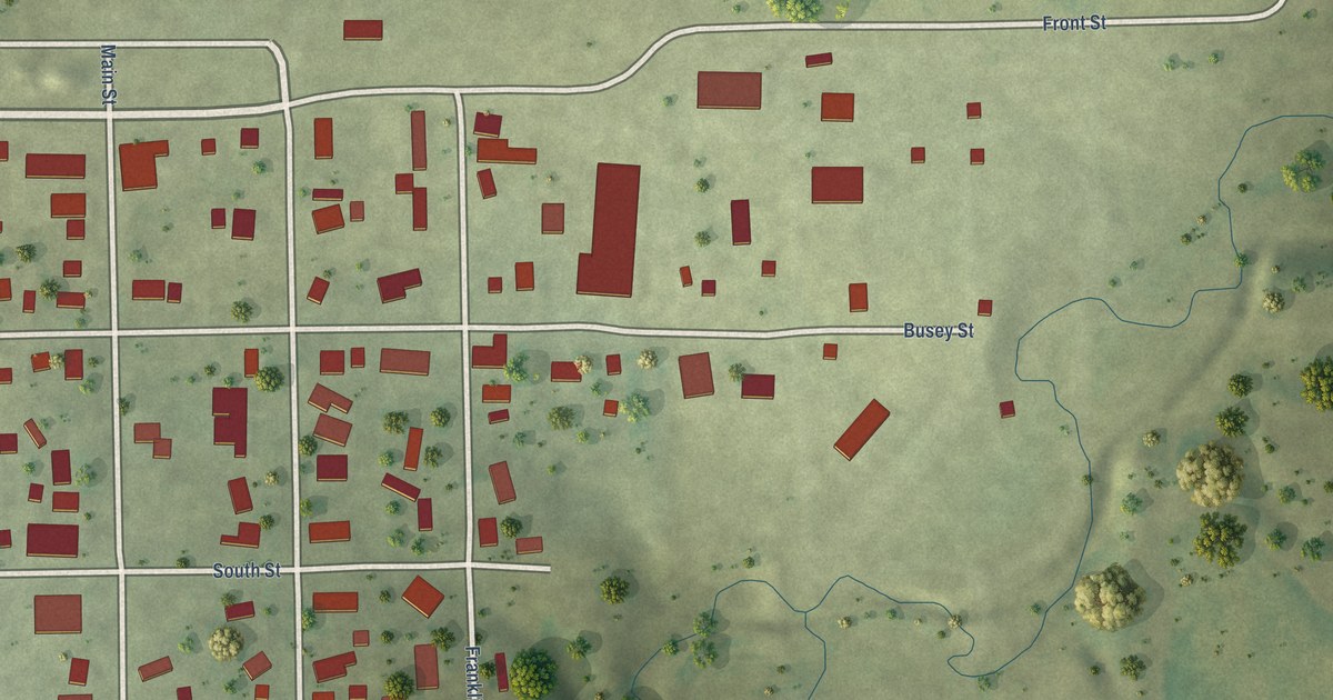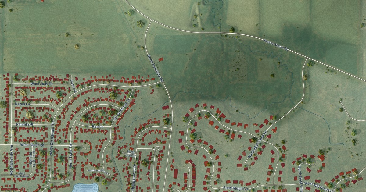
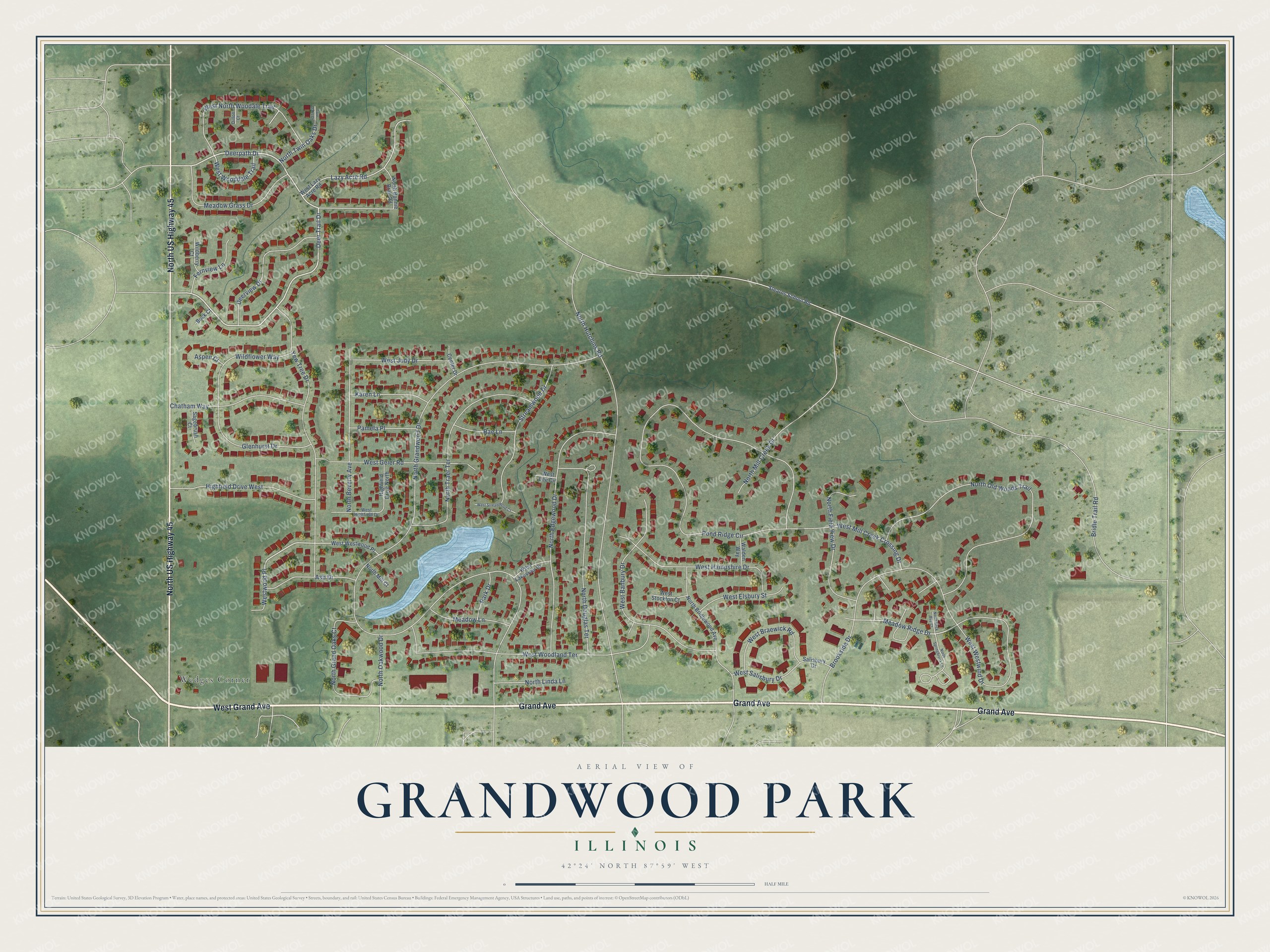
This beautifully detailed map of Grandwood Park, Illinois was created in 2026 using aerial imagery combined with modern topographical, census, street and landmark data. It’s a one-of-a-kind view of Grandwood Park that combines accurate data with a vintage aesthetic. The map shows every building in its true location, many of the roads carry their names, and the shaded topographic relief shows the shape of the land.
Explore an aerial view of Grandwood Park, Illinois
On the map you’ll find Wedges Corner and Westwood Place, along with Grand Avenue, North US Highway 45, West Grand Avenue, Deer Trail Drive, Deerpath Drive, Meadow Ridge Drive, North Grandwood Drive, Pond Ridge Circle, North Hutchins Road, North Old Woods Trail, and more. If you look closely you can even find your house accurately drawn in its correct location. Zoom in on the preview to look for yours.
Did you know this piece of Grandwood Park, Illinois history?
From the Lake County Health Department: "In the early 1960’s the area around the lake was sold and subdivision development began. By 1966, the lake and the surrounding area became part of the Grandwood Park District."
Take a closer look at the Grandwood Park map
Street and place names on the Grandwood Park, Illinois map
These names are printed on the map of Grandwood Park, Illinois.
Places: Wedges Corner.
Streets and roads: Grand Avenue, North US Highway 45, West Grand Avenue, Deer Trail Drive, Deerpath Drive, Westwood Place, Meadow Ridge Drive, North Grandwood Drive, Pond Ridge Circle, North Hutchins Road, North Old Woods Trail, Yew Tree Drive.
More street names, A to Z
Ash Drive, Aspen Court, Bridle Trail Road, Brookside Drive, Buck Court, Center Drive, Chatham Way, Deerview Drive, Dillon Court, Fernview Lane, Glenhurst Drive, Highfield Drive North, Highfield Drive West, Karen Lane, Lazy Acre Road, Meadow Grass Drive, Meadow Lane, North Back Bay Court, North Beverly Avenue, North Bonnie Brae Road, North Bridlewood Avenue, North Douglas Terrace, North Edgewood Drive, North Field View Drive, North Grand Oaks Court, North Linda Lane, North Mill Court, North Mill Creek Drive, North Oakwood Drive, North Springbrook Lane, North Traer Terrace, North Twin Oaks Drive, Pamela Place, Park Drive, Rae Lane, Sagebrush Court, Salisbury Drive, Stearns School Road, Streamwood Drive, Twin Oaks Drive, Walden Way, West Banbury Drive, West Braewick Road, West Elsbury Street, West Geier Road, West Hampshire Drive, West Highfield Drive, West Judy Drive, West Lakeview Drive, West Lazy Acre Road, West Lee Circle, West Mill Creek Crossing Drive, West North Woodale Trail, West Salisbury Drive, West Stockton Court, West Streamwood Court, West Westwind Drive, West Westwood Place, West Wooddale Trail, West Woodland Terrace, Wildberry Court, Wildflower Way.
See the Grandwood Park, Illinois map on a wall
The Grandwood Park map as an 18 x 24 inch print in a black frame.

This beautifully detailed map of Grandwood Park makes an attractive addition to your office, library, or den, and it can even be used to teach children the geography and history of the area. It also makes a great gift for someone who left Grandwood Park and still calls it home. When you’re done exploring, click here to get your copy of the Grandwood Park map.