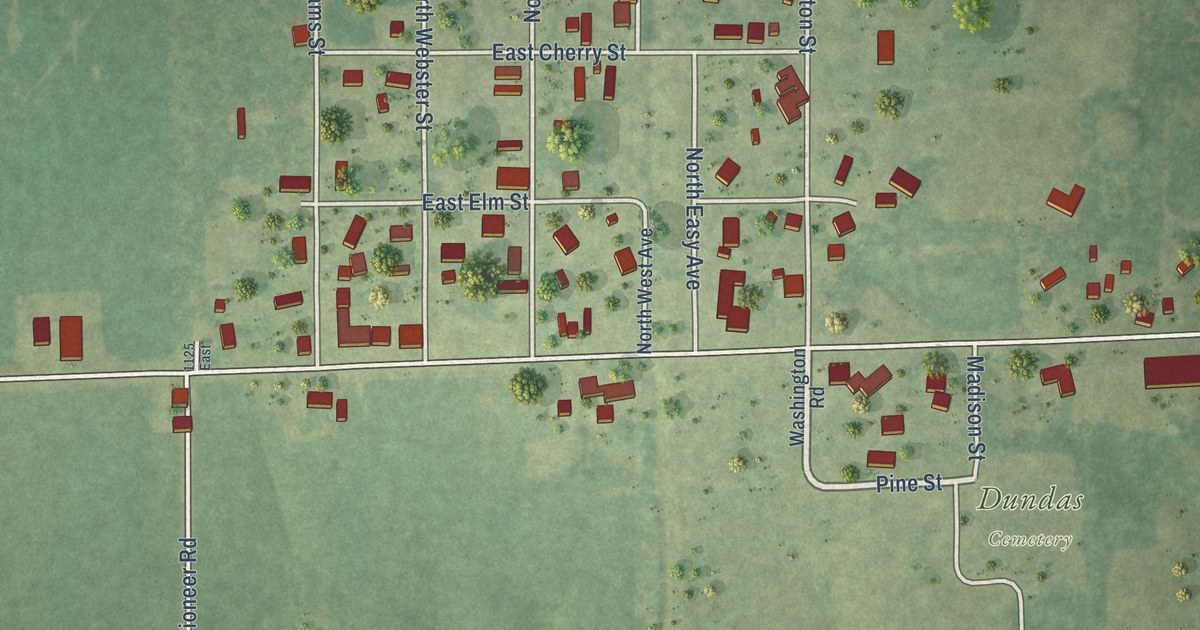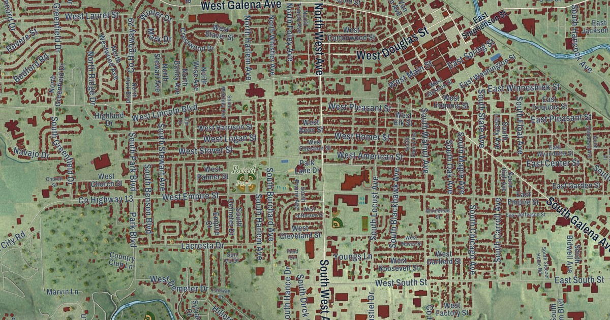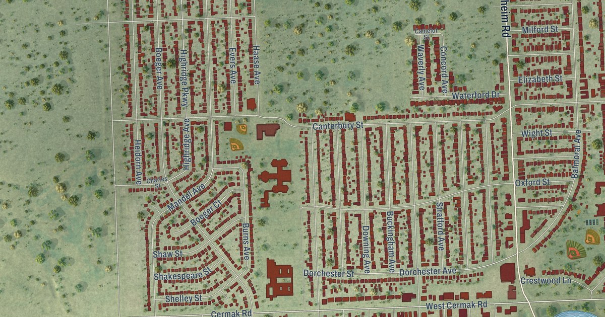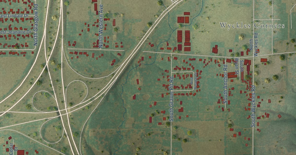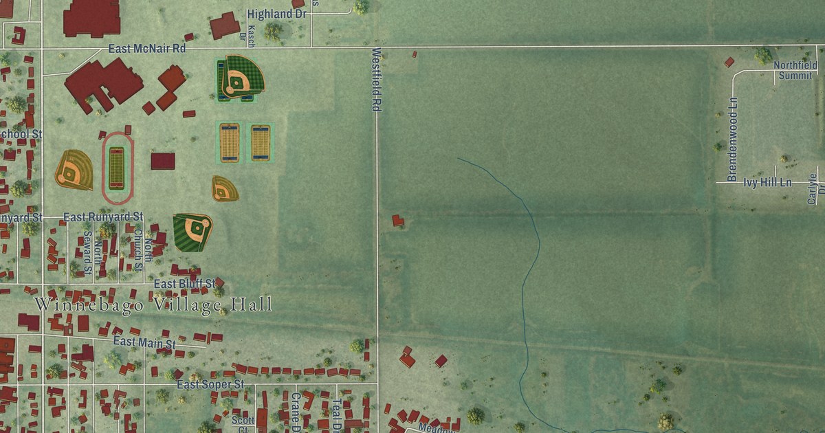
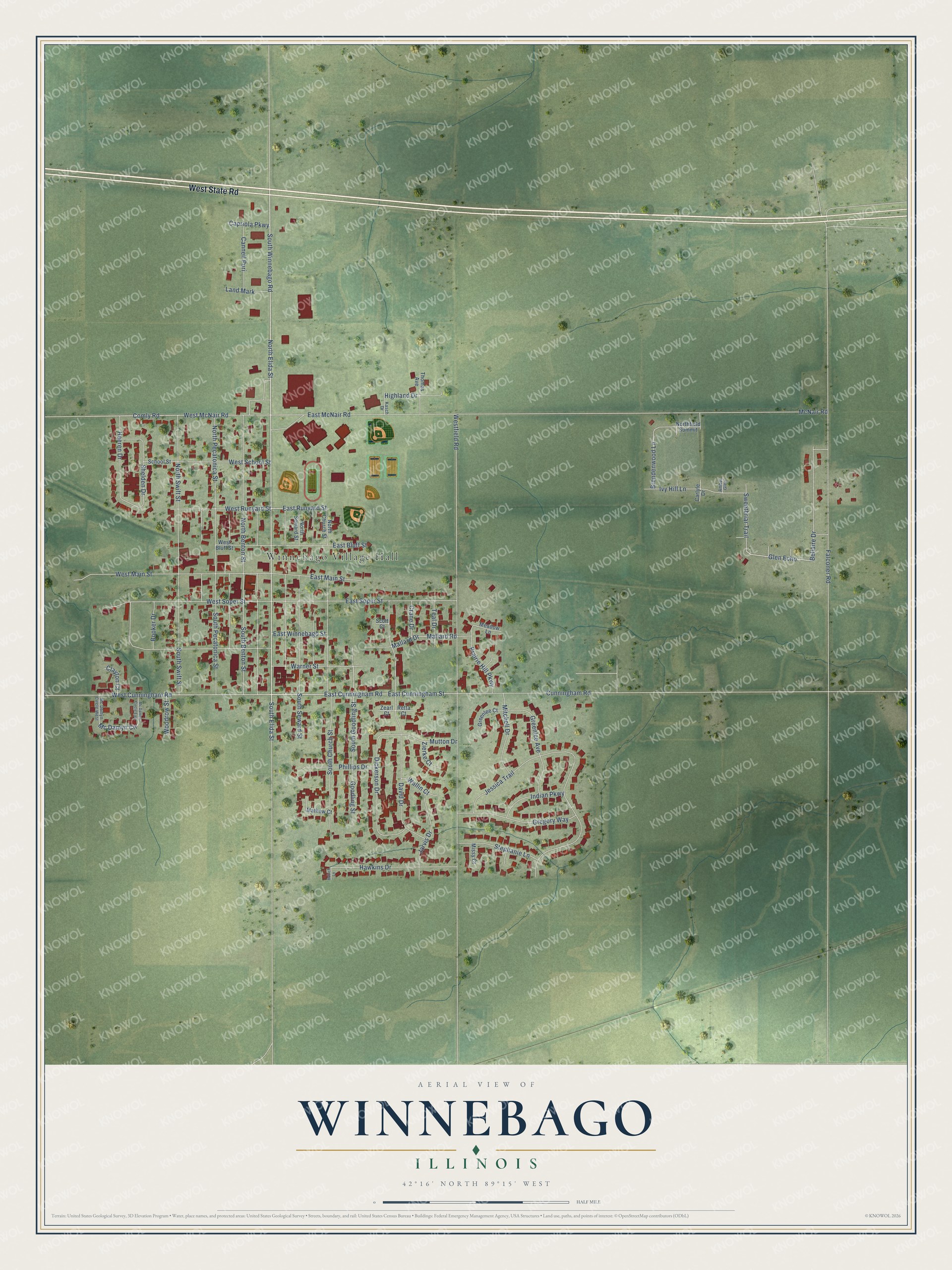
This beautifully detailed map of Winnebago, Illinois was created in 2026 using aerial imagery combined with modern topographical, census, street and landmark data. It’s a one-of-a-kind view of Winnebago that combines accurate data with a vintage aesthetic. The map shows every building in its true location, many of the roads carry their names, and the shaded topographic relief shows the shape of the land.
Explore an aerial view of Winnebago, Illinois
On the map you’ll find Winnebago Village Hall and Glen Echo, along with West State Road, North Elida Street, South Elida Street, South Winnebago Road, East Cunningham Road, South Goodling Street, East Runyard Street, Mc Damyn Circle, McNair Road, Westfield Road, and more. If you look closely you can even find your house accurately drawn in its correct location. Zoom in on the preview to look for yours.
Did you know this piece of Winnebago, Illinois history?
From the Winnebago County History: "The Winnebago Paper Mill was first built in 1853, by a company known as Merrill, Young & Co., who ran it two years, when it was sold to Bradner, Warren & Co., of Chicago."
Take a closer look at the Winnebago map
Street and place names on the Winnebago, Illinois map
These names are printed on the map of Winnebago, Illinois.
Places: Winnebago Village Hall.
Streets and roads: West State Road, North Elida Street, South Elida Street, South Winnebago Road, East Cunningham Road, South Goodling Street, Glen Echo, East Runyard Street, Mc Damyn Circle, McNair Road, Westfield Road, Cunningham Road.
More street names, A to Z
Amber Glen, Babich Lane, Bellaire Drive, Booker Drive, Brendenwood Lane, Cannell Puri, Capriola Parkway, Carlyle Drive, Clayton Court, Comly Road, Crane Drive, David Drive, Dickerson Drive, East Bluff Street, East Cunningham Street, East Main Street, East McNair Road, East Soper Street, East Winnebago Street, Falconer Road, Goodling Street, Greenlee Avenue, Greenlee Court, Gregory Way, Hawkins Drive, Heeren Drive, Highland Drive, Indian Parkway, Ivy Hill Lane, Jarvis Drive, Jessica Trail, Kasch Drive, Land Mark, Mallard Drive, Mallard Road, Mathew Court, Mc Damyn Circle East, Mc Damyn Circle West, Meadow Lane, Missy Court, Mitchell Drive, Mutton Drive, North Benton Street, North Church Street, Northfield Summit, North Pecatonica Street, North Seward Street, North Swift Street, Phillips Drive, Prairie Hill Parkway, Retta Court, School Street, Scott Court, Shelden Drive, South Benton Street, South Church Street, South Pecatonica Street, South Seward Street, South Swift Street, Stephanie Lane, Sweetbriar Trail, Teal Drive, Thomas Avenue, Wallin Court, Warner Street, West Bluff Street, West Cunningham Road, West Main Street, West McNair Road, West Runyard Street, West School Street, West Soper Street, Woodrow Street, Zearl Court, Zierke Court.
See the Winnebago, Illinois map on a wall
The Winnebago map as an 18 x 24 inch print in a black frame.

This beautifully detailed map of Winnebago makes an attractive addition to your office, library, or den, and it can even be used to teach children the geography and history of the area. It also makes a great gift for anyone with Winnebago roots. When you’re done exploring, click here to get your copy of the Winnebago map.