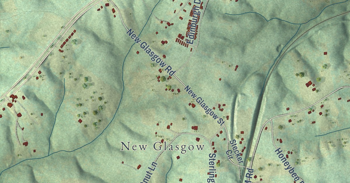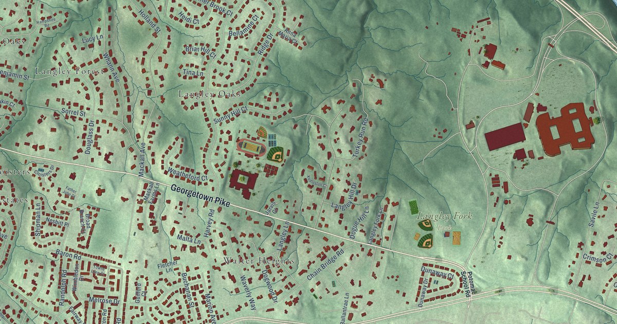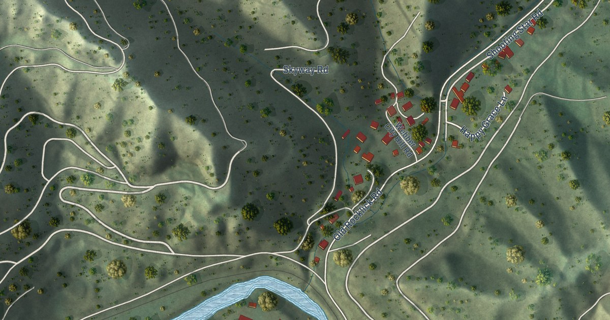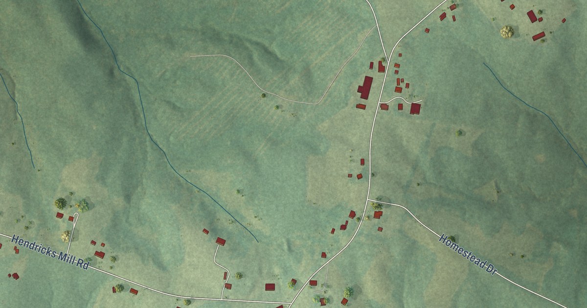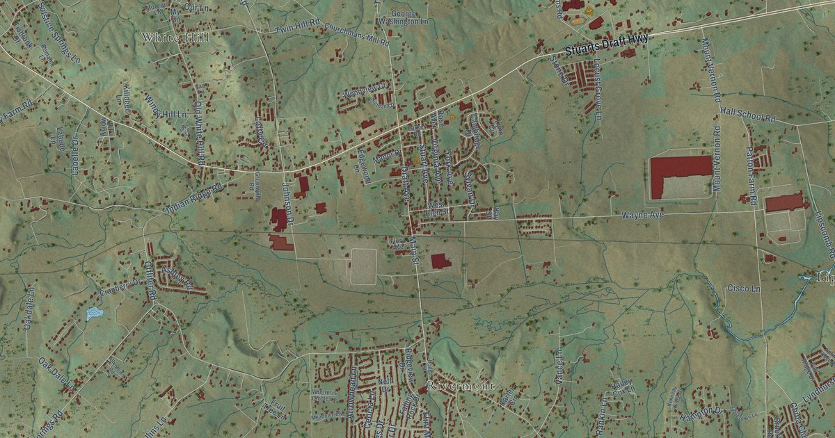
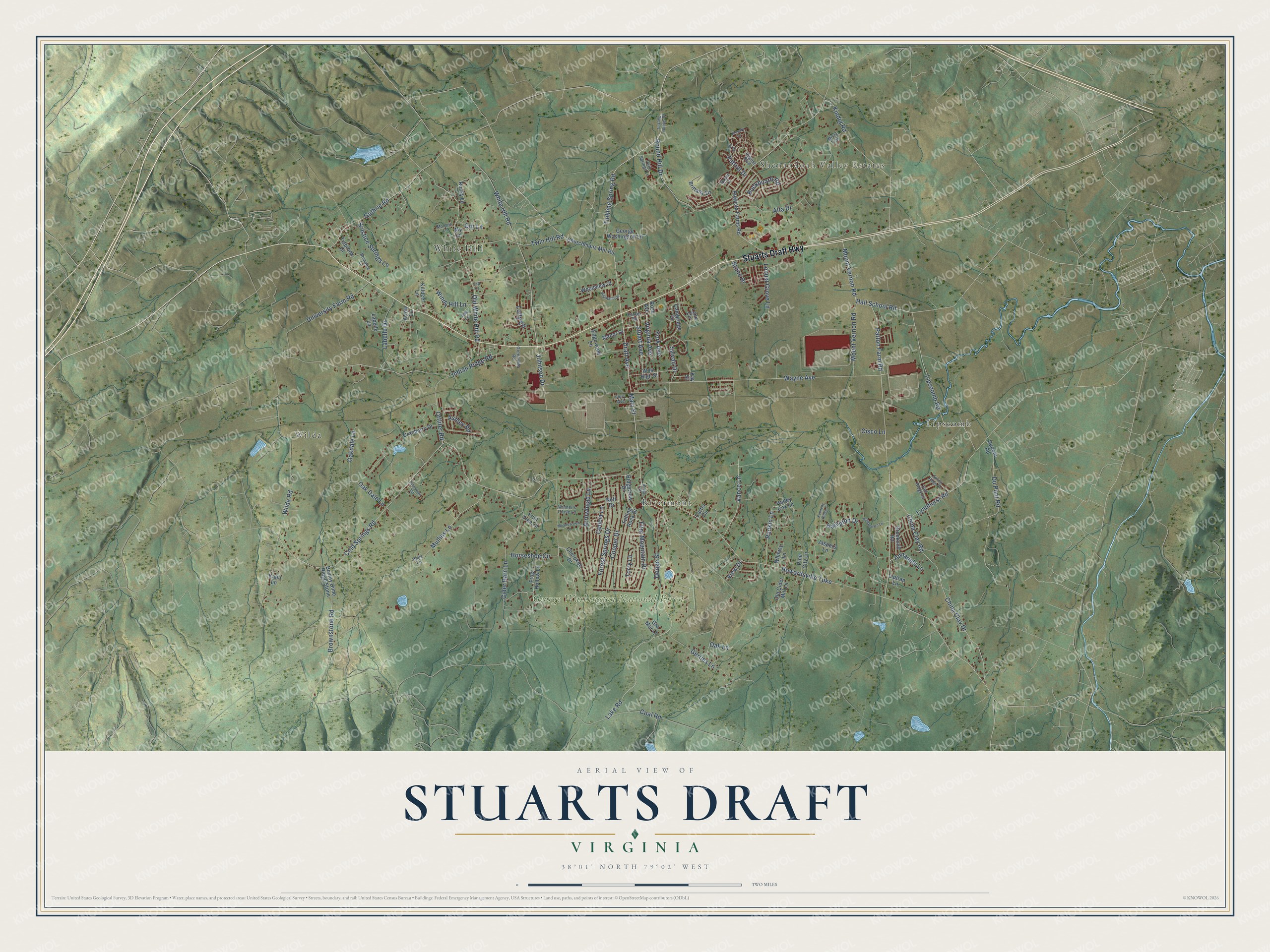
This beautifully detailed map of Stuarts Draft, Virginia was created in 2026 using aerial imagery combined with modern topographical, census, street and landmark data. It’s a one-of-a-kind view of Stuarts Draft that combines accurate data with a vintage aesthetic. The map shows every building in its true location, many of the roads carry their names, and the shaded topographic relief shows the shape of the land.
Explore an aerial view of Stuarts Draft, Virginia
On the map you’ll find Shenandoah Valley Estates, George Washington National Forest, Lipscomb, Rivermont, White Hill, and Wilda, along with Stuarts Draft Highway, Du Pont Road, Tinkling Spring Road, Mount Vernon Road, Draft Avenue, Brownstone Road, and more. If you look closely you can even find your house accurately drawn in its correct location. Zoom in on the preview to look for yours.
Did you know this piece of Stuarts Draft, Virginia history?
From Vcris.dhr.virginia.gov: "John Colter, born in Stuart's Draft about 1775, was a member of the northwest expedition led by Meriwether Lewis and William Clark (1804-1806)."
Take a closer look at the Stuarts Draft map
Street and place names on the Stuarts Draft, Virginia map
These names are printed on the map of Stuarts Draft, Virginia.
Places: Shenandoah Valley Estates, George Washington National Forest, Lipscomb, Rivermont, White Hill and Wilda.
Streets and roads: Stuarts Draft Highway, Du Pont Road, Tinkling Spring Road, Mount Vernon Road, Draft Avenue, Brownstone Road, Offliter Road, Johnson Drive, Cold Springs Road, Howardsville Turnpike, Coal Road, Patton Farm Road.
More street names, A to Z
Allentown Road, Alta Drive, Annadale Lane, Arrowhead Lane, Arrow Lane, Ashley Road, Augusta Farms Road, August Boulevard, Bauserman Lane, Boxley Dime Ridge Stone, Brent Lane, Brittany Lane, Brookmill Road, Buckboard Road, Cambridge Drive, Carter Circle, Ceocia Lane, Cherokee Drive, China Clay Drive, China Clay Road, Churchmans Mill Road, Cider Barn Lane, Cisco Lane, Cooper Drive, Cranberry Drive, Dodge Street, Dupont Road, Edgewood Lane, Falling Rock Drive, Fall Lane, Fall Ridge Drive, Flint Mountain Drive, Flory Avenue, Forest Springs Drive, Frog Hollow Lane, Fruit Tree Lane, George Washington Lane, Gerties Lane, Gra Mar Lane, Greenville Road, Guthrie Road, Hailey Cox Lane, Hall School Road, Halls Lane, Hampton Drive, Highland Drive, Hodge Street, Horseshoe Circle, Indian Ridge Road, January Drive, Jaspers Lane, Jays Lane, Kalin Lane, Kay Street, Kennedy Ridge Court, Killdeer Lane, Kindig Road, Labelle Drive, Labelle Lane, Lake Road, Lipscomb Road, Liptrap Lane, Locust Grove Lane, Lofty Circle, Lyndhurst Road, Lynn Circle, Main Street, Manor Drive, Meadowview Lane, Misty Trail, Moores Lane, Mullins Lane, My Lane, Neff Drive, Oak Dale Lane, Oakdale Lane, Oak Lane, Old Cider Mill Lane, Old White Hill Road, Our Lane, Parker Road, Patriot Drive, Pine City Lane, Rankin Lane, Ridgeview Drive, Rocky Lane, Romaine Lane, Rose Avenue, Round Hill Drive, Solstice Springs Lane, Spring Ridge Drive, Stone Drive, Stuart Avenue, Sylvan Drive, Tag Lane, Tinkling Springs Road, Tisbrook Drive, Torry Lane, Twin Hill Road, Twin Springs Lane, University Farm Road, Vance Lane, View Drive, Virginia Avenue, Wayne Avenue, West High Street, Whimsy Lane, White Hill Road, Wilda Road, Windy Hill Lane, Winner's Circle Lane, Woodview Court, York Avenue.
See the Stuarts Draft, Virginia map on a wall
The Stuarts Draft map as an 18 x 24 inch print in a black frame.

This beautifully detailed map of Stuarts Draft makes an attractive addition to your office, library, or den, and it can even be used to teach children the geography and history of the area. It also makes a great gift for anyone with Stuarts Draft roots. When you’re done exploring, click here to get your copy of the Stuarts Draft map.