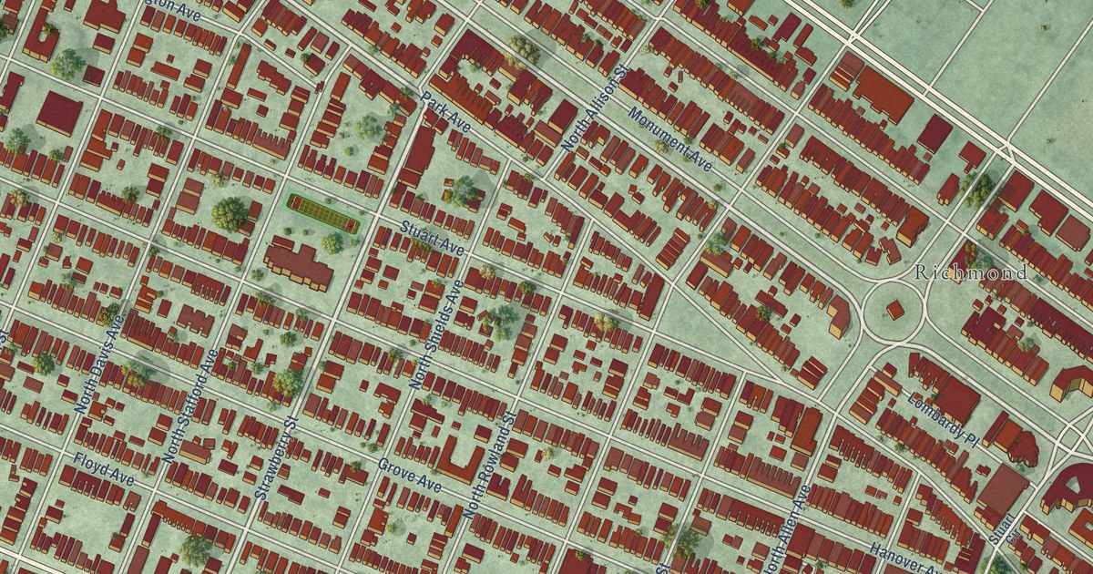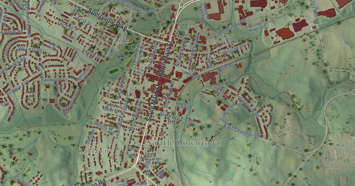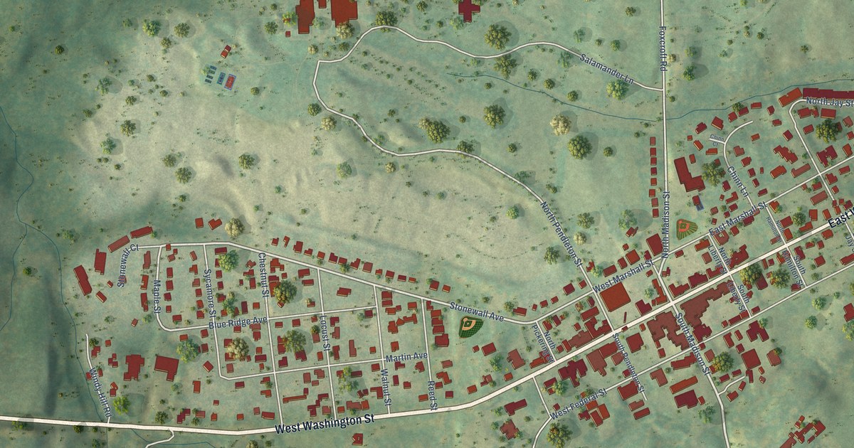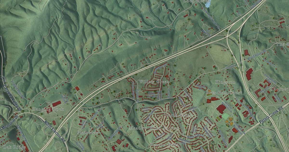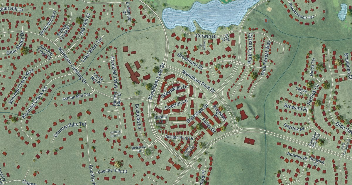
This beautifully detailed map of Wyndham, Virginia was created in 2026 using aerial imagery combined with modern topographical, census, street and landmark data. It’s a one-of-a-kind view of Wyndham that combines accurate data with a vintage aesthetic. The map shows every building in its true location, many of the roads carry their names, and the shaded topographic relief shows the shape of the land.
Explore an aerial view of Wyndham, Virginia
On the map you’ll find Bridlewood, along with Pouncey Tract Road, Shady Grove Road, Wyndham Lake Drive, Country Creek Way, Dominion Club Drive, Old Wyndham Drive, Brentmoor Drive, Oak Mill Court, Summer Creek Way, Old Greenway Drive, Nuckols Road, and more. If you look closely you can even find your house accurately drawn in its correct location. Zoom in on the preview to look for yours.
Did you know this piece of Wyndham, Virginia history?
From the Wyndham Foundation: "Established in 1992, Wyndham is a mixed-use community that has received numerous awards at the local, state, and national levels."
Take a closer look at the Wyndham map
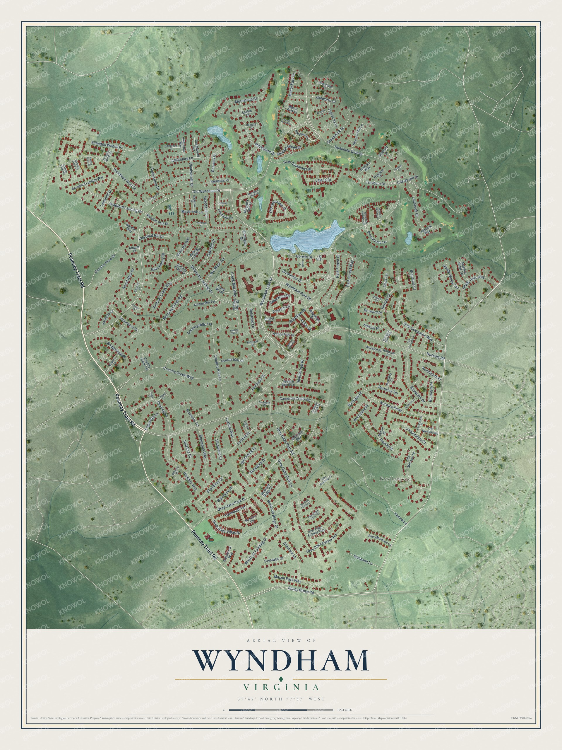
Street and place names on the Wyndham, Virginia map
These names are printed on the map of Wyndham, Virginia.
Places: Bridlewood.
Streets and roads: Pouncey Tract Road, Shady Grove Road, Wyndham Lake Drive, Country Creek Way, Dominion Club Drive, Old Wyndham Drive, Brentmoor Drive, Oak Mill Court, Summer Creek Way, Old Greenway Drive, Nuckols Road, Grey Oaks Park Drive.
More street names, A to Z
Abington Park Drive, Aldenbrook Way, Alor Court, Amershire Court, Amershire Lane, Amershire Way, Ascot Glen Drive, Ashmont Circle, Ashmont Lane, Ashton Mill Terrace, Ashton Park Drive, Ashton Park Way, Barnsley Court, Barnsley Place, Barnsley Terrace, Bayswater Terrace, Belstead Drive, Belstead Lane, Benning Drive, Blairmont Court, Blairmont Place, Bosworth Drive, Bosworth Place, Bradford Landing Drive, Bradington Drive, Brandford Landing Way, Brandons Court, Bridgehead Place, Bristol Lane, Brookmeade Terrace, Broward Place, Burberry Lane, Cameron Creek Court, Cameron Creek Road, Chadsworth Drive, Chadsworth Terrace, Charing Circle, Charing Lane, Cherry Hill Drive, Chestnut Hill Drive, Club Commons Drive, Collinstone Drive, Collinstone Place, Corwin Drive, Country Creek Terrace, Country Hills Court, Country Hills Lane, Country Hills Terrace, Country View Drive, Creek Mill Place, Creek Mill Way, Denford Court, Dominion Fairways Drive, Dominion Fairways Lane, Dominion Hills Boulevard, Drystack Court, Drystack Lane, Edgeware Lane, Ellington Woods Drive, Ellington Woods Place, Ellis Meadows Court, Ellis Meadows Lane, English Ivy Lane, Farmount Terrace, Fremont Drive, Fremont Place, Fuller Drive, Gadsby Forest Place, Gadsby Park Terrace, Gadsby Trace Court, Ginda Terrace, Glen Abbey Drive, Glenshaw Drive, Grace Hill Lane, Greenwich Drive, Greenwick Drive, Grey Oaks Estate Run, Grey Oaks Estates Court, Grey Oaks Estates Way, Grey Oaks Park Lane, Grey Oaks Park Road, Grey Oaks Park Terrace, Grey Oaks Villas Drive, Hames Lane, Hardwick Court, Heather Brook Lane, Heatherford Place, Herrick Lane, Herrick Place, Hillshire Circle, Hillshire Court, Hillshire Way, Hindale Place, Hunters Glen Court, Hunters Glen Drive, Isleworth Drive, Jamieson Place, Kelston Green Drive, Kenilworth Place, Kershaw Drive, Ketterley Row, Kinglet Court, Lake West Terrace, Layton Drive, Leabrook Drive, Leabrook Way, Ledge Circle, Lerade Court, Lincolnshire Court, Lincolnshire Place, Loxton Court, Luxford Court, Luxford Place, Luxford Way, Lynwood Drive, Manor Park Court, Manor Park Drive, Manor Park Way, Mason Park Way, Maybrook Court, Maybrook Drive, Maybrook Lane, McFall Street, Meadow Ridge Terrace, Millstone Landing Drive, Montfort Circle, Morestead Court, Morestead Drive, Morgan's Glen Drive, Morgan's Glen Place, Morning Creek Road, New Harvard Lane, Norwich Court, Norwich Parkway, Norwich Place, Olde Covington Place, Olde Covington Way, Old Millrace Terrace, Old Nuckols Road, Onslow Court, Park Forest Court, Park Forest Way, Peavey Street, Renwick Drive, Renwick Place, Ridgedale Drive, Rolling Creek Place, Sampson Lane, Shady Hills Way, Shady Mill Way, Shady Willow Terrace, Southerly Court, Stanwood Court, Stanwood Way, Stoneacre Drive, Stonewick Court, Stonewick Place, Summer Creek Court, Tiverton Lane, Treyburn Drive, Treyburn Place, Treyburn Way, Walborough Court, Warbler Way, Westcott Landing Court, Westcott Ridge Court, Westcott Ridge Drive, Winsted Court, Woolshire Drive, Woolshire Place, Wyndham Park Drive, Wyndham West Drive.
See the Wyndham, Virginia map on a wall
The Wyndham map as an 18 x 24 inch print in a black frame.

This beautifully detailed map of Wyndham makes an attractive addition to your office, library, or den, and it can even be used to teach children the geography and history of the area. It also makes a great gift for someone who left Wyndham and still calls it home. When you’re done exploring, click here to get your copy of the Wyndham map.