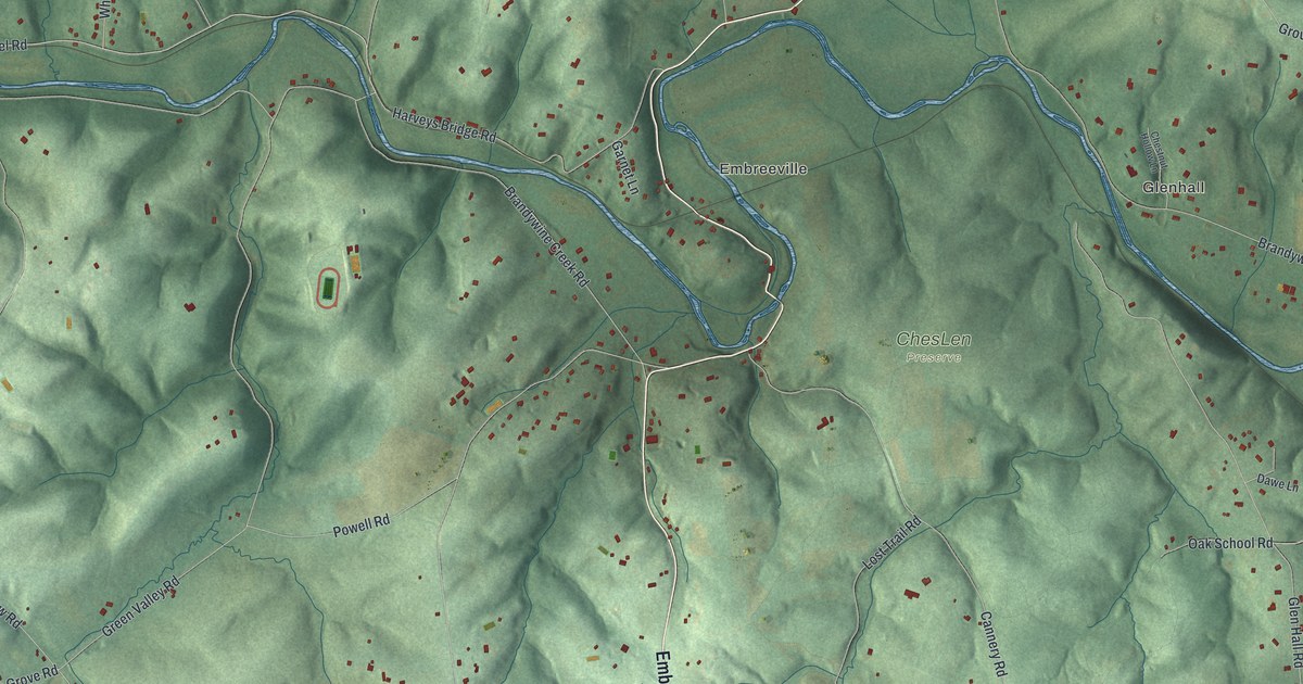
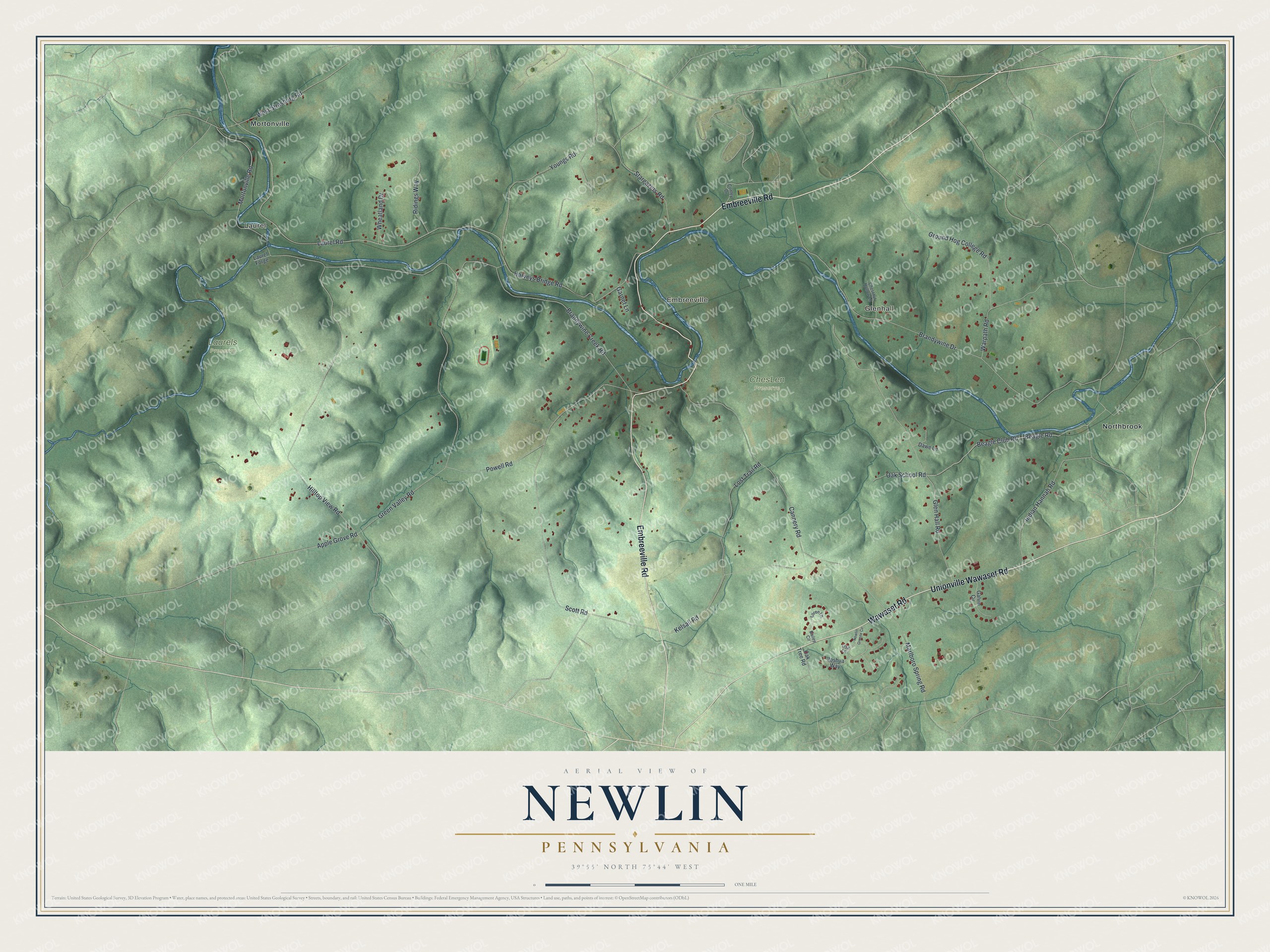
This beautifully detailed map of Newlin, Pennsylvania was created in 2026 using aerial imagery combined with modern topographical, census, street and landmark data. It’s a one-of-a-kind view of Newlin that combines accurate data with a vintage aesthetic. The map shows every building in its true location, many of the roads carry their names, and the shaded topographic relief shows the shape of the land.
Explore an aerial view of Newlin, Pennsylvania
On the map you’ll find Laurel, Glenhall, Embreeville, ChesLen Preserve, Laurels Preserve, Mortonville, and Northbrook, along with Embreeville Road, Unionville Wawaset Road, Wawaset Road, Harveys Bridge Road, Laurel Road, and more. If you look closely you can even find your house accurately drawn in its correct location. Zoom in on the preview to look for yours.
Did you know this about Newlin, Pennsylvania?
From LivingPlaces: "The Embreeville Historic District is situated on the east and west banks of the West Branch Brandywine Creek in Newlin Township. Its 12 principal buildings are clustered in two groups and separated by the river, which makes a dramatic bend at this location."
Take a closer look at the Newlin map
Street and place names on the Newlin, Pennsylvania map
These names are printed on the map of Newlin, Pennsylvania.
Places: Laurel, Glenhall, Embreeville, ChesLen Preserve, Laurels Preserve, Mortonville and Northbrook.
Streets and roads: Embreeville Road, Unionville Wawaset Road, Wawaset Road, Harveys Bridge Road, Laurel Road, Apple Grove Road, Brandywine Creek Road, Brandywine Drive, Cannery Road, Green Valley Road, Hilltop View Road, Glen Hall Road.
More street names, A to Z
Bailey Circle, Beagle Club Road, Beagle Road, Chestnut Hollow Lane, Conley Drive, Dawe Lane, Galvin Circle, Garnet Lane, Ground Hog College Road, Indian Hannah Road, Joshua Way, Kelsall Road, Laurel Forge, Lisa Lane, Loren Lane, Lost Trail Road, Marlboro Spring Road, Mortonville Road, Newlin Greene Circle, Oak School Road, Oak Tree Road, Powell Road, Ridings Way, Scott Road, Stargazers Road, Warpath Road, West Strasburg Road, Wheatland Drive, Youngs Road.
See the Newlin, Pennsylvania map on a wall
The Newlin map as an 18 x 24 inch print in a black frame.

This beautifully detailed map of Newlin makes an attractive addition to your office, library, or den, and it can even be used to teach children the geography and history of the area. It also makes a great gift for anyone with Newlin roots. When you’re done exploring, click here to get your copy of the Newlin map.