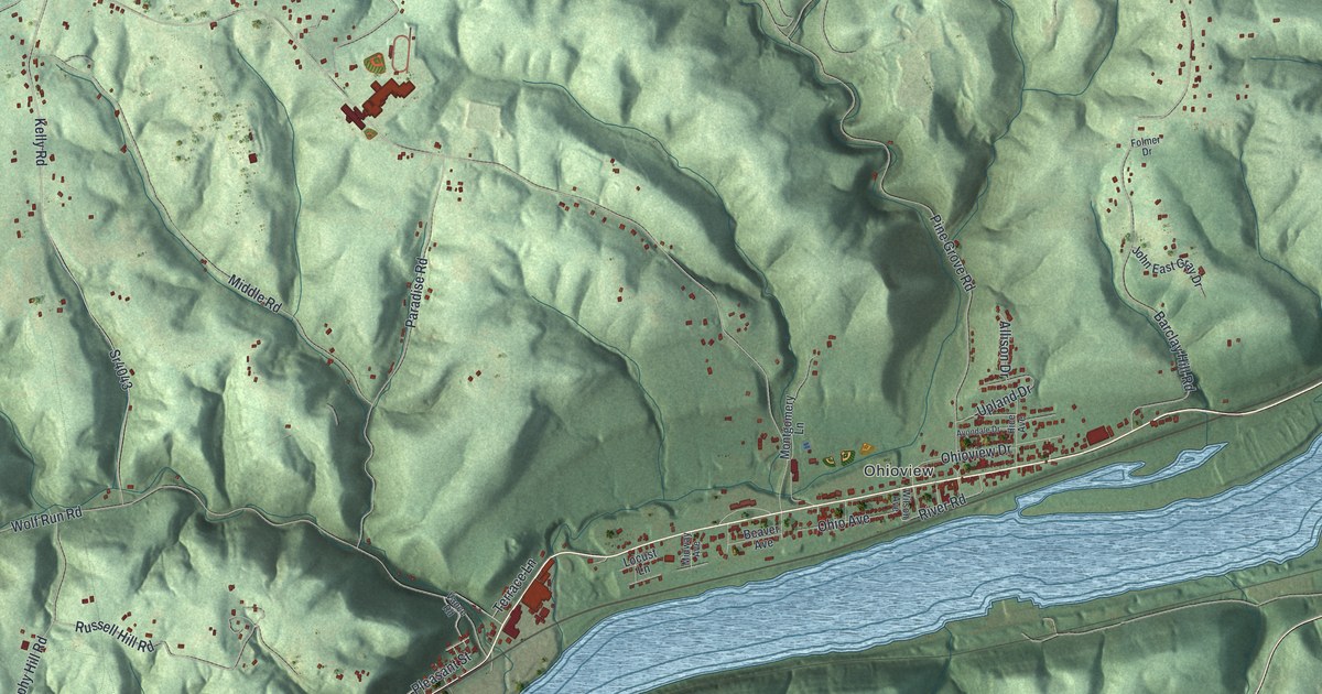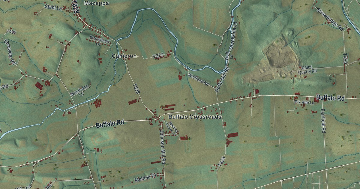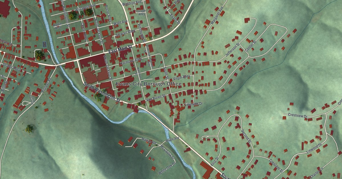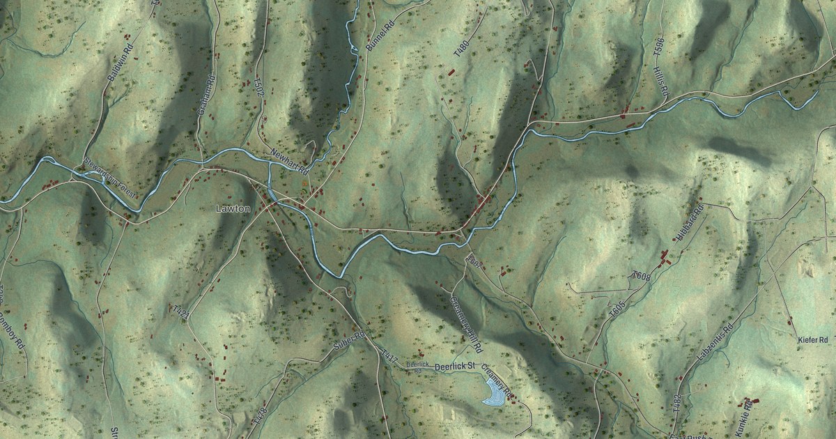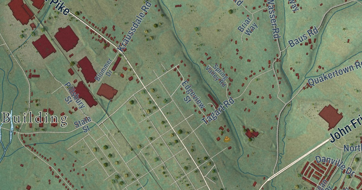
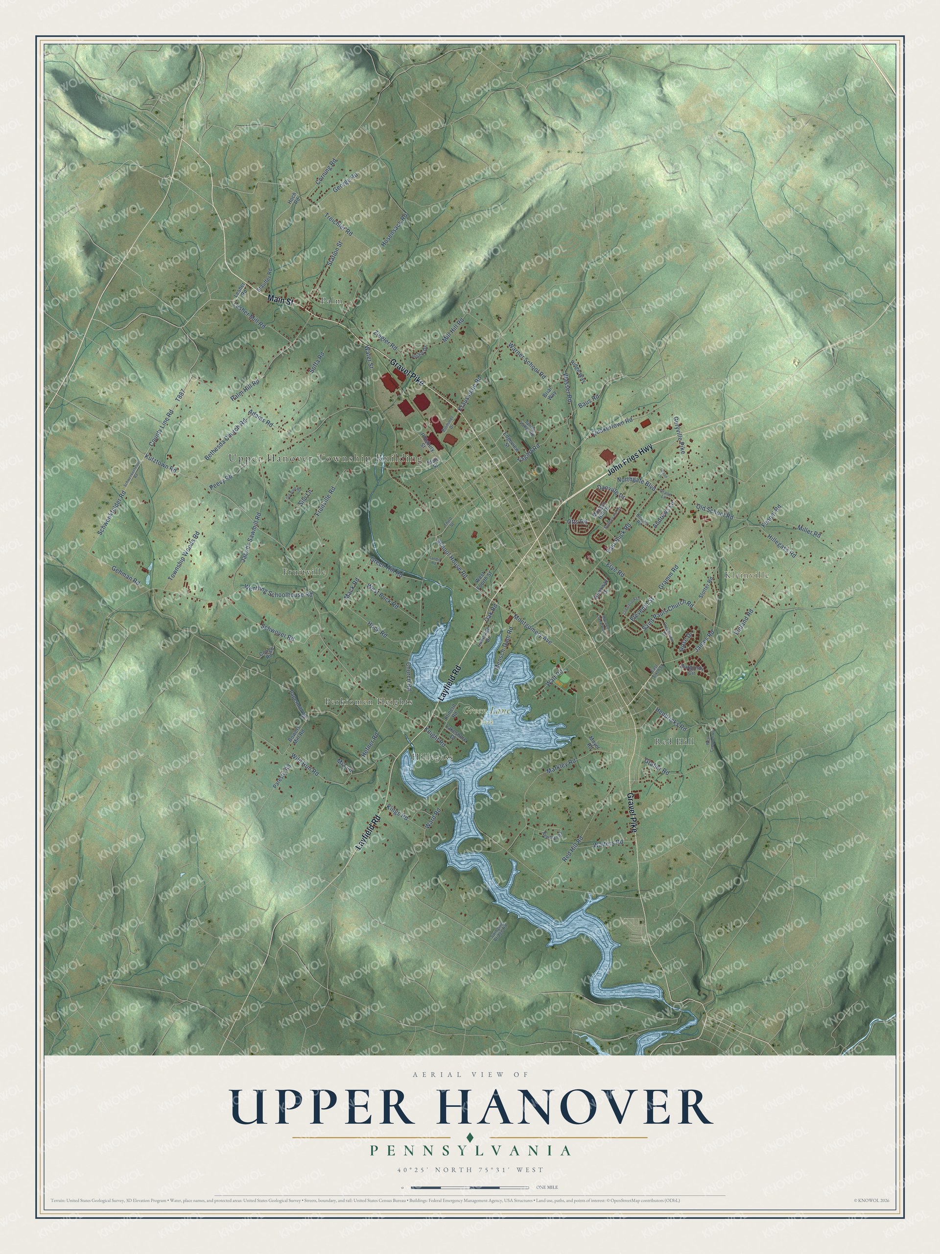
This beautifully detailed map of Upper Hanover, Pennsylvania was created in 2026 using aerial imagery combined with modern topographical, census, street and landmark data. It’s a one-of-a-kind view of Upper Hanover that combines accurate data with a vintage aesthetic. The map shows every building in its true location, many of the roads carry their names, and the shaded topographic relief shows the shape of the land.
Explore an aerial view of Upper Hanover, Pennsylvania
On the map you’ll find Upper Hanover Township Building, Kleinville, Camelot Park, Green Lane Park, Peevy Road Open Space, Fruitville, Hillegass, Palm, Perkiomen Heights, and Red Hill, along with John Fries Highway, Gravel Pike, and more. If you look closely you can even find your house accurately drawn in its correct location. Zoom in on the preview to look for yours.
Did you know this piece of Upper Hanover, Pennsylvania history?
From LivingPlaces: "Water power was also available from the Perkiomen Creek, which flows south through Upper Hanover Township. Flowing a distance of 7 miles, the river propelled water wheels for five gristmills and four sawmills."
Take a closer look at the Upper Hanover map
Street and place names on the Upper Hanover, Pennsylvania map
These names are printed on the map of Upper Hanover, Pennsylvania.
Places: Upper Hanover Township Building, Kleinville, Green Lane Park, Palm, Red Hill, Fruitville, Hillegass and Perkiomen Heights.
Streets and roads: John Fries Highway, Gravel Pike, Main Street, Layfield Road, School House Road, Montgomery Avenue, James Road, Geryville Pike, Kutztown Road, Quakertown Road, Hillegass Road, Walt Road.
More street names, A to Z
Adams Road, Andrews Lane, Baus Road, Bethesda Church Road, Blommer Drive, Bowers Mill Road, Briar Way, Brooke Road, Burgundy Circle, Cedarbrook Lane, Church Road, Congo Road, Corning Road, County Line Road, Creekview Drive, Danville Drive, Devon Lane, East Buck Road, East Sixth Street, Edgeview Street, Eleventh Street, Fennel Road, Finland Road, Fruitville Road, Frye Road, Gehman Road, George Road, Graber Road, Grace Lane, Gramm Road, Green Hill Road, Hefner Road, Hendricks Road, Hoch Road, Hock Road, Hosensack Road, Jacobs Sawmill Road, Kings Road, Klinerd Road, Knight Road, Kraussdale Road, Lakeshore Drive, Lakeside Drive, Landis Road, Lesher Mill Road, Lesher Road, Mack Road, Macoby Creek Way, Markley Road, Mensch-Dam Road, Mia Lane, Miller Road, Mill Hill Road, Morgan Hill Drive, Moyer Road, Newman Road, Northgate Boulevard, Oak Road, Old Barn Road, Old School Road, Otts Road, Palm Hill Road, Papermill Road, Parestis Road, Peevy Road, Pillsbury Street, Red Hill Road, Ridge Way, Rose Drive, Runaway Drive, Saint Pauls Church Road, Schwenkenfelder Road, Schwenkfelder Road, Schwoyer Road, Silo Lane, Slotter Road, Soffa Road, Spring Valley Road, State Street, Station Street, Stauffer Road, Sunnyvale Drive, Swinging Bridge Road, Tagart Road, Third Street, Township Woods Road, Treichler Road, Victor Drive, Walters Road, Ward Road, Warner School Road, Wasser Road, Water Street, Wentling Schoolhouse Road, West Buck Road, West Campbell Road, West Fourth Street, Wild Run Road, Ziegler Road.
See the Upper Hanover, Pennsylvania map on a wall
The Upper Hanover map as an 18 x 24 inch print in a black frame.

This beautifully detailed map of Upper Hanover makes an attractive addition to your office, library, or den, and it can even be used to teach children the geography and history of the area. It also makes a great gift for anyone who grew up in Upper Hanover or moved away. When you’re done exploring, click here to get your copy of the Upper Hanover map.