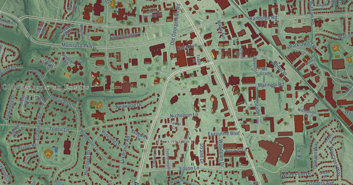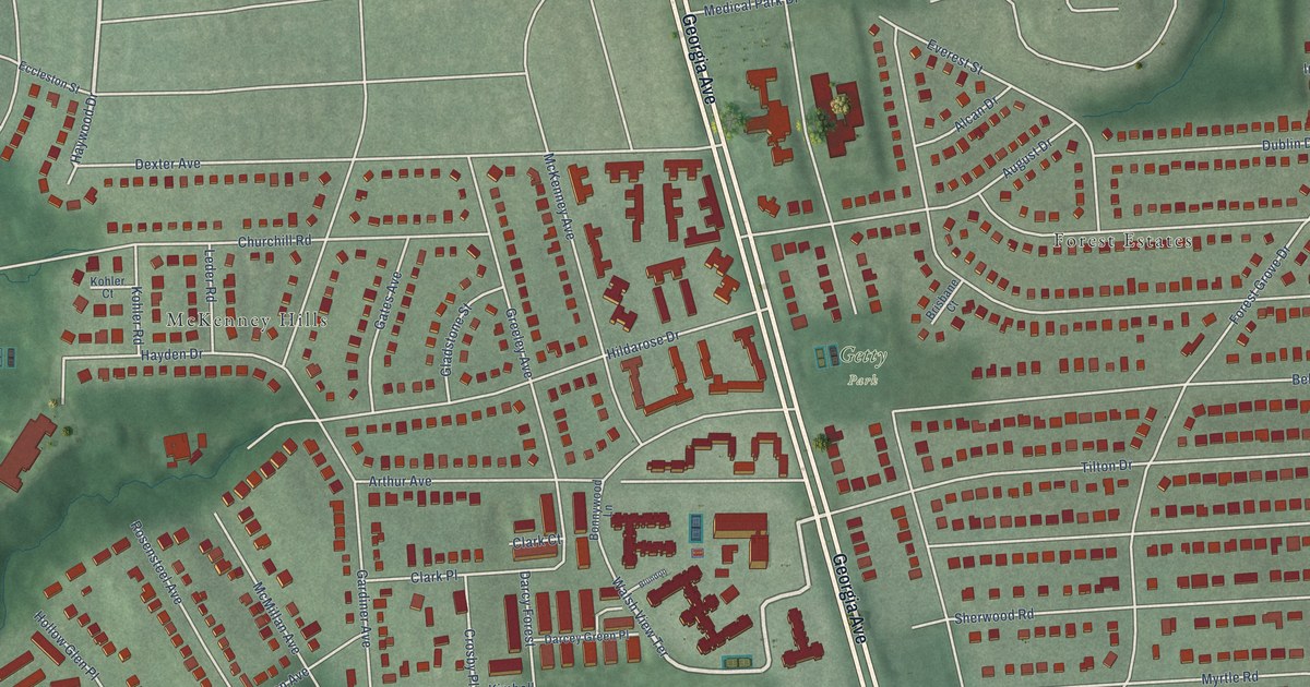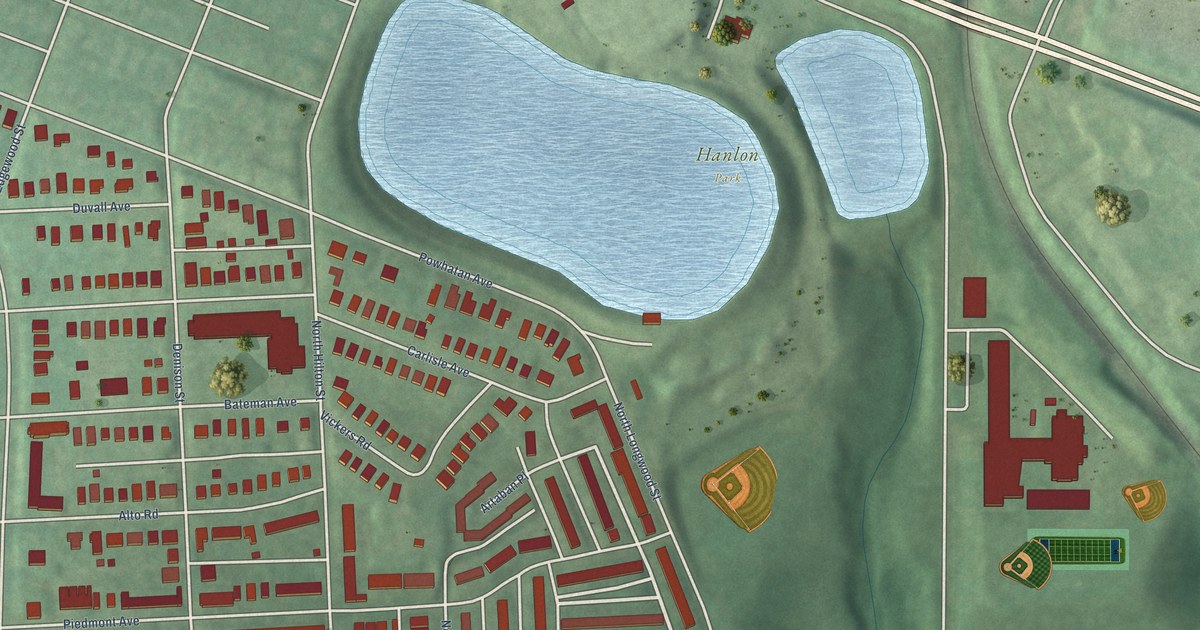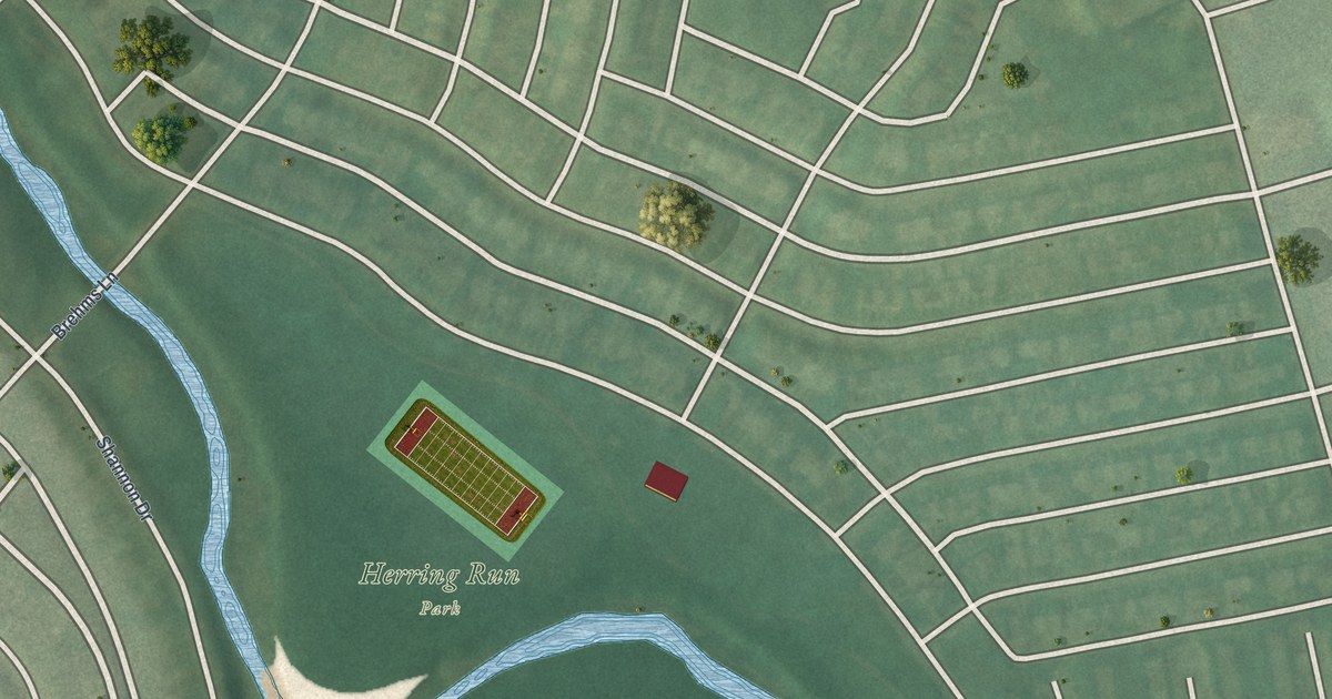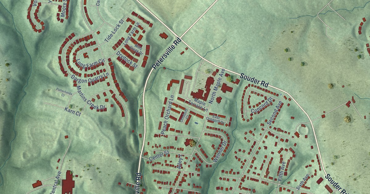
This beautifully detailed map of Brunswick, Maryland was created in 2026 using aerial imagery combined with modern topographical, census, street and landmark data. It's a modern aerial view of Brunswick in Frederick County, Maryland, that combines modern data with a vintage aesthetic. The roads feature printed names, and if you look closely you can find your exact house accurately shown in its correct location.
Explore an aerial view of Brunswick, Maryland
On this map you'll find Brunswick City Hall, Eastwick, New Addition, Rice, Burkittsville Road, Petersville Road, Souder Road, West Potomac Street, Jefferson Pike, Point of Rocks Road, Cummings Drive, North Maple Avenue, and more. Each red shape is a building, so zoom in on the preview and look for yours.
Every town has a first chapter, and Brunswick is no exception. The record at services.arcgis.com puts it this way: "Renamed Brunswick in 1890, the town supported significant rail infrastructure an expansive network of tracks, a round house with a turntable, and a railroad station designed by Francis Baldwin."
Brunswick is a city in Frederick County. The Census Bureau counted 7,762 people here in 2020.
Take a closer look at the Brunswick map
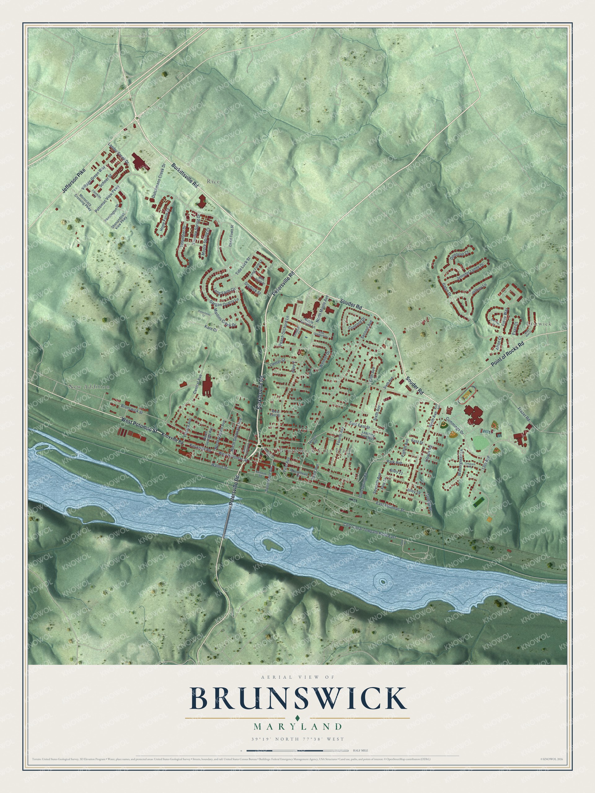
Names on this map
These names are printed on this map.
Places: Brunswick City Hall, Eastwick, New Addition and Rice.
Streets and roads: Burkittsville Road, Petersville Road, Souder Road, West Potomac Street, Jefferson Pike, Point of Rocks Road, Cummings Drive, North Maple Avenue, Knoxville Road, East Potomac Street, Tenth Avenue, Concord Drive.
More street names, A to Z
13th Avenue, Afton Court, Alley 7, Alley 19, Alley 21, Alley 29, Brad Alan Drive, Brunswick Street, C&O Canal Towpath Road East, Canal Road, Canal Town Street, Center Street, Central Avenue, Dargon Quarry Lane, Donovan Court, Drydock Street, Dutchmans Creek Drive, East East Street, East Orndorff Drive, East Street, Eighth Avenue, Evan Court, Fifth Avenue, Fiona Way, First Avenue, Florida Avenue, Fourth Avenue, Frazer Road, Galyn Drive, Gum Spring Road, Hope Farm Court, Jeffrey Lane, Jennifer Lynne Drive, Karn Court, Lander Creek Drive, Learning Tree Way, Lloyds Road, Long Farm Circle, Long Farm Lane, Maple Terrace Lane, Martins Creek Drive, Monocacy Crossing Parkway, Moore Spring Court, Mooseheart Drive, Ninth Avenue, North Dayton Avenue, North Delaware Avenue, North Georgia Avenue, Orndorff Court, Park Avenue, Peach Orchard Lane, Pennington Drive, Potomac View Parkway, Potterfields Court, Railroad Square, Scheer Street, Second Avenue, Seventh Avenue, Shenandoah View Parkway, Sheridan Lane, Sixth Avenue, South Maple Avenue, South Virginia Avenue, Tamarack Way, Terrace Avenue, Third Avenue, Tide Lock Street, Village Green Way, Volunteer Drive, Walnut Street, Wenner Drive, West East Street, Wills Creek Drive, Wintergreen Lane, Younkins Drive, Yourtee Spring Drive.
Created by KNOWOL in 2026. The buildings are small red shapes, the roads carry their printed names, and shaded relief shows the shape of the land. The title panel reads "AERIAL VIEW OF BRUNSWICK MARYLAND" with 39°19' NORTH 77°38' WEST.
Hang it in the hallway, the office or the cabin, or give it to someone who left Brunswick and still calls it home. Open the preview and look for a street you know. See sizes and frames for the Brunswick map.