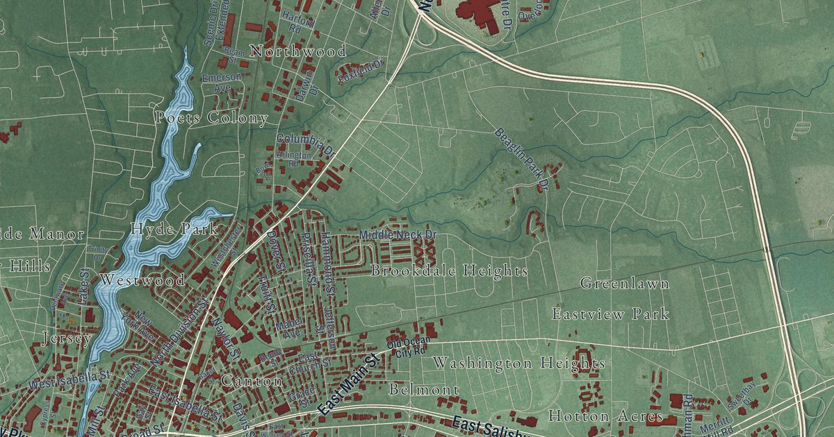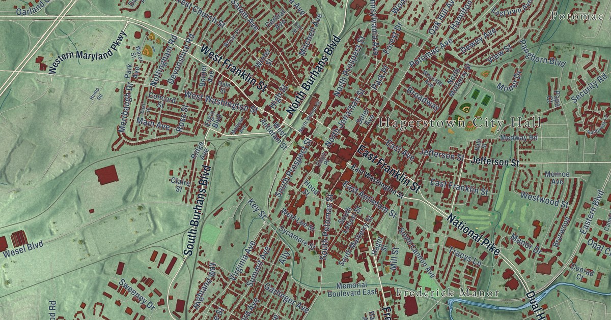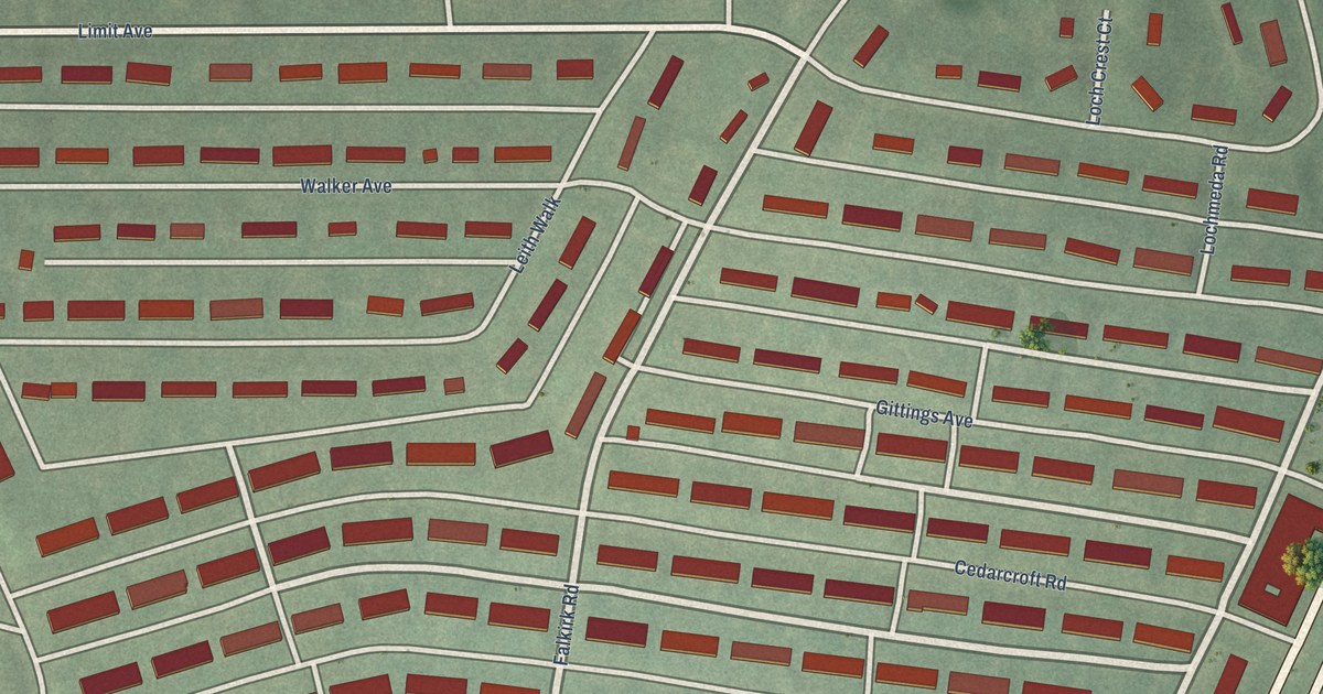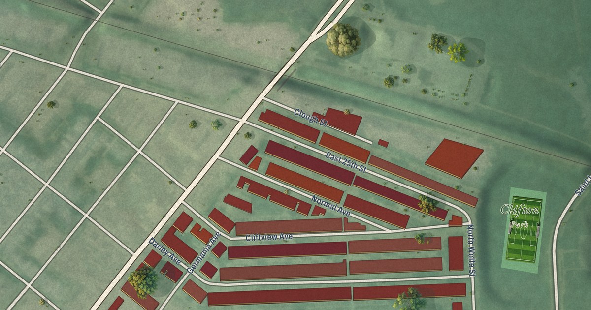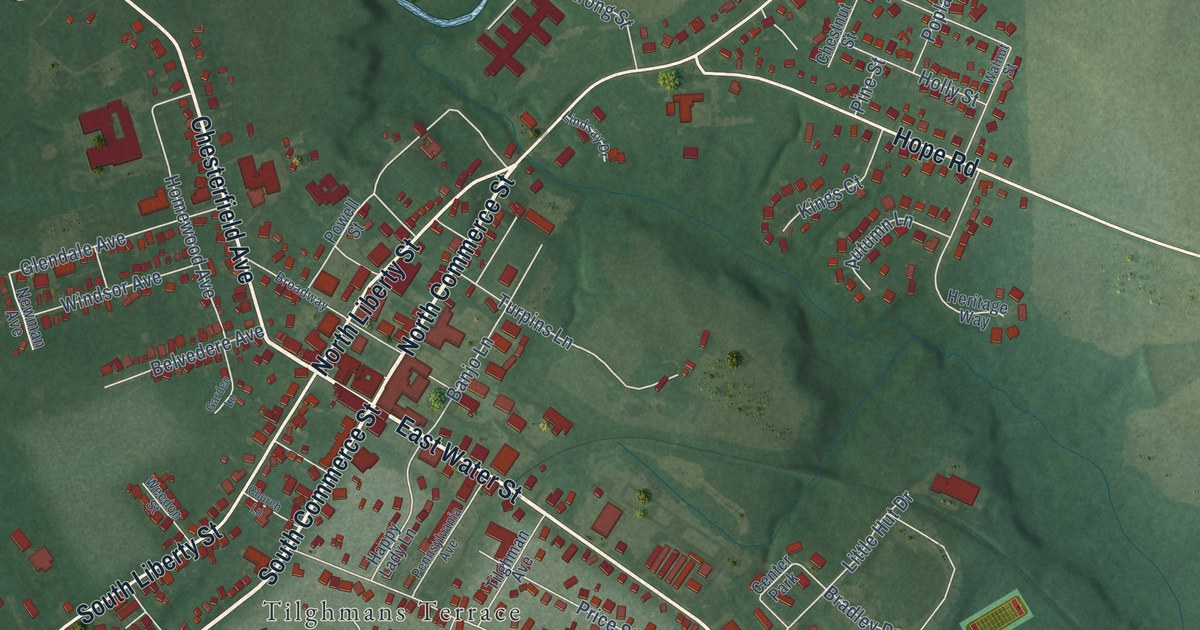
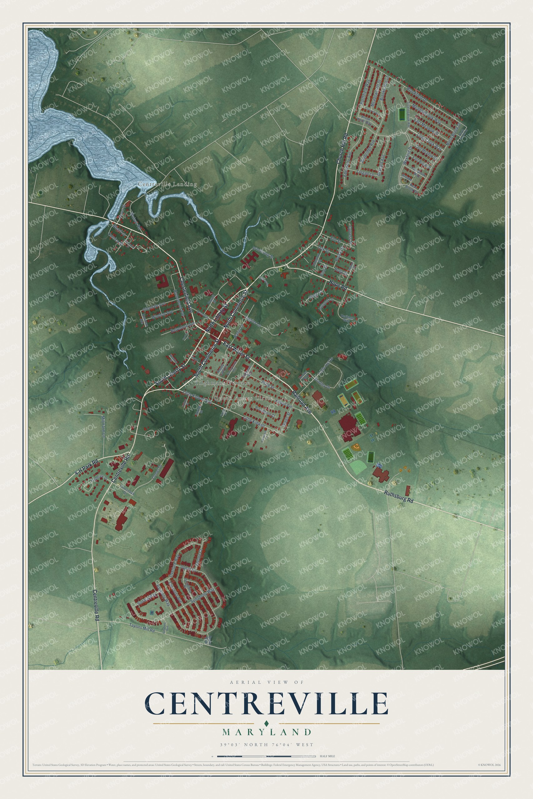
This beautifully detailed map of Centreville, Maryland was created in 2026 using aerial imagery combined with modern topographical, census, street and landmark data. It's a modern aerial view of Centreville in Queen Anne's County, Maryland, that combines modern data with a vintage aesthetic. The roads feature printed names, and if you look closely you can find your exact house accurately shown in its correct location.
Explore an aerial view of Centreville, Maryland
On this map you'll find Centreville Landing, Queen Annes Circle, Tilghmans Terrace, South Commerce Street, East Water Street, North Commerce Street, Chesterfield Avenue, Railroad Avenue, North Liberty Street, South Liberty Street, Centreville Road, Church Hill Road, and more. Each red shape is a building, so zoom in on the preview and look for yours.
Every town has a first chapter, and Centreville is no exception. The record at services.arcgis.com puts it this way: "The Courthouse Queen Anne's County Oldest courthouse in continuous use in the state of Maryland, the building was authorized by Acts of Assembly after the removal of the county seat from Queenstown to Chester Mills, later Centreville."
Centreville is a town in Queen Anne's County. The Census Bureau counted 4,727 people here in 2020.
Take a closer look at the Centreville map
Names on this map
These names are printed on this map.
Places: Centreville Landing, Queen Annes Circle, Tilghmans Terrace and Center Park.
Streets and roads: South Commerce Street, East Water Street, North Commerce Street, Chesterfield Avenue, Railroad Avenue, North Liberty Street, South Liberty Street, Centreville Road, Church Hill Road, Ruthsburg Road, Hope Road, 4-H Park Road.
More street names, A to Z
Armstrong Street, Autumn Lane, Banbridge Avenue, Banjo Lane, Belvedere Avenue, Bradley Drive, Bravo Boulevard, Broadway, Brooke Lane, Brooke Run Lane, Brookfield Drive, Brook Knoll Way, Chestnut Street, Church Lane, Comet Drive, Concerto Avenue, Cool Meadow Drive, Corsica Street, Coursevall Drive, Cypress Street, East Brook Drive, East Meadow Drive, Edenderry Avenue, Elm Street, Encore Court, Fair Brook Way, Fieldcroft Way, Frederick Drive, Front Street, Future Road, Garden Lane, Glendale Avenue, Granard Avenue, Green Street, Hammond Street, Happy Lady Lane, Harmony Way, Heritage Way, Holly Street, Holton Street, Homewood Avenue, Kidwell Avenue, Kings Court, Lindsay Drive, Little Hut Drive, Little Kidwell, Little Kidwell Avenue, Long Creek Way, Lurgan Lane, Meadowbrook Way, Meadowcroft Drive, Mill Farm Lane, Near Brook Drive, Newman Avenue, North Brode Drive, North Brook Drive, Northfield Way, Oak Street, Opera Court, Orchestra Place, Overture Way, Pennsylvania Avenue, Pine Street, Poplar Street, Powell Street, Price Street, Providence Court, Providence Lane, Sonata Way, Spring Street, Symphony Boulevard, Symphony Way, Taylors Mill Road, Tilghman Avenue, Trickling Brook Way, Turpins Lane, Walnut Street, Watson Road, Weedon Street, Wexford Drive, Wharf Lane, Windsor Avenue.
Created by KNOWOL in 2026. The buildings are small red shapes, the roads carry their printed names, and shaded relief shows the shape of the land. The title panel reads "AERIAL VIEW OF CENTREVILLE MARYLAND" with 39°03' NORTH 76°04' WEST.
Hang it in the hallway, the office or the cabin, or give it to someone who left Centreville and still calls it home. Open the preview and look for a street you know. See sizes and frames for the Centreville map.