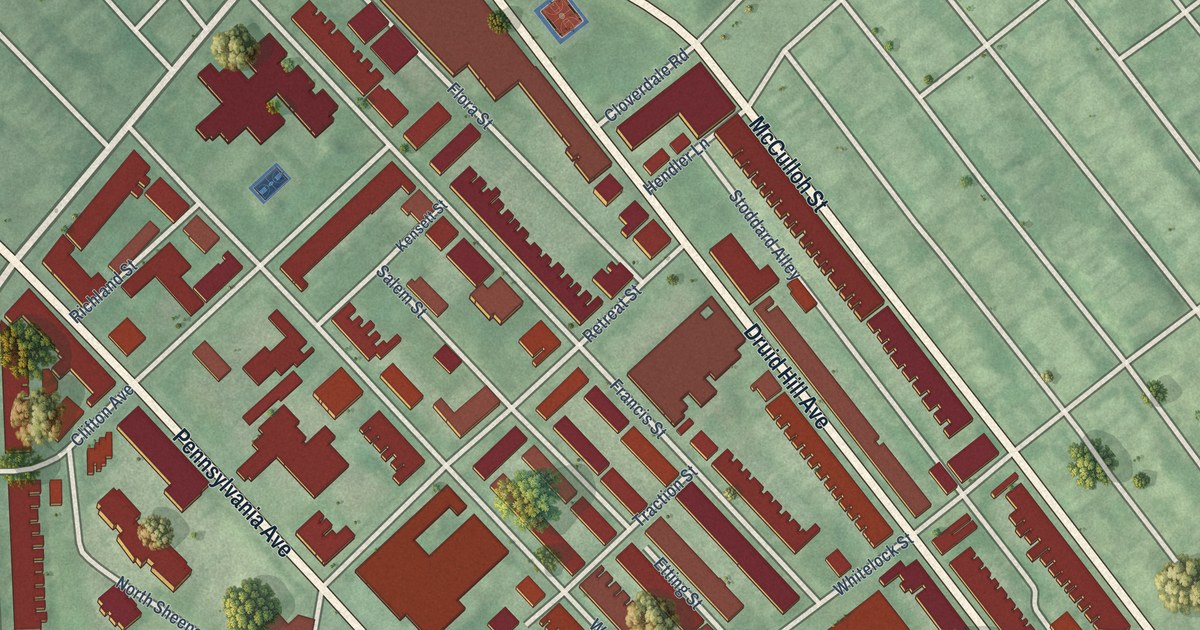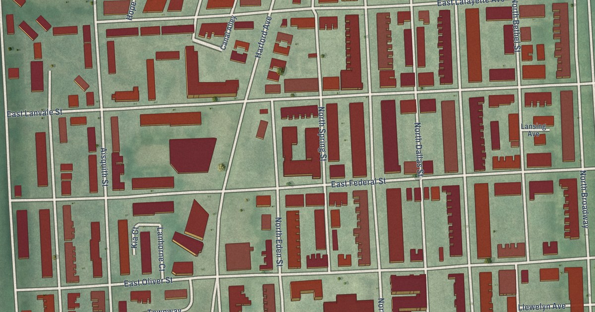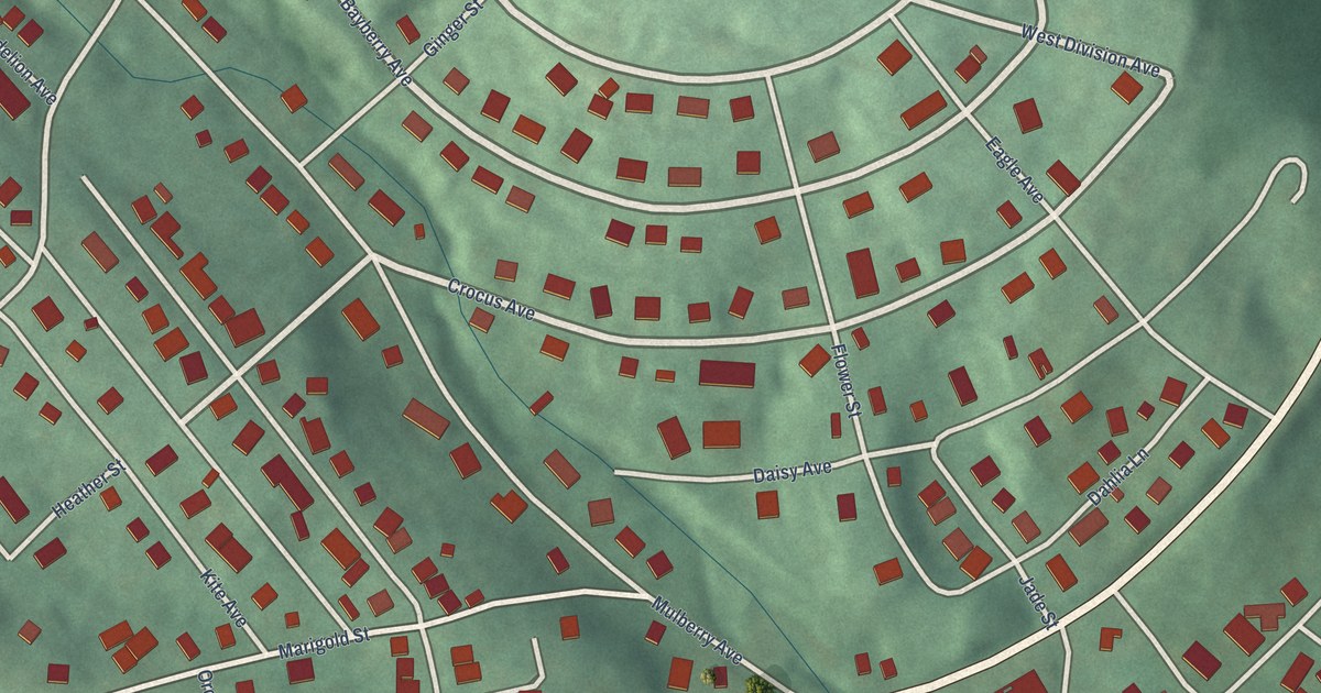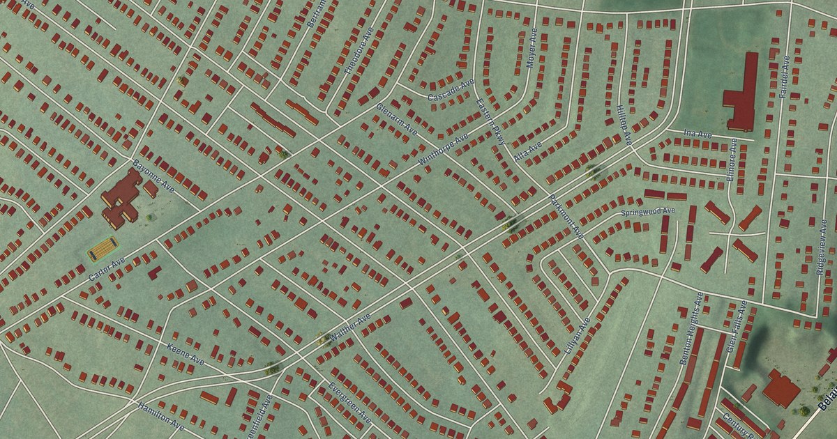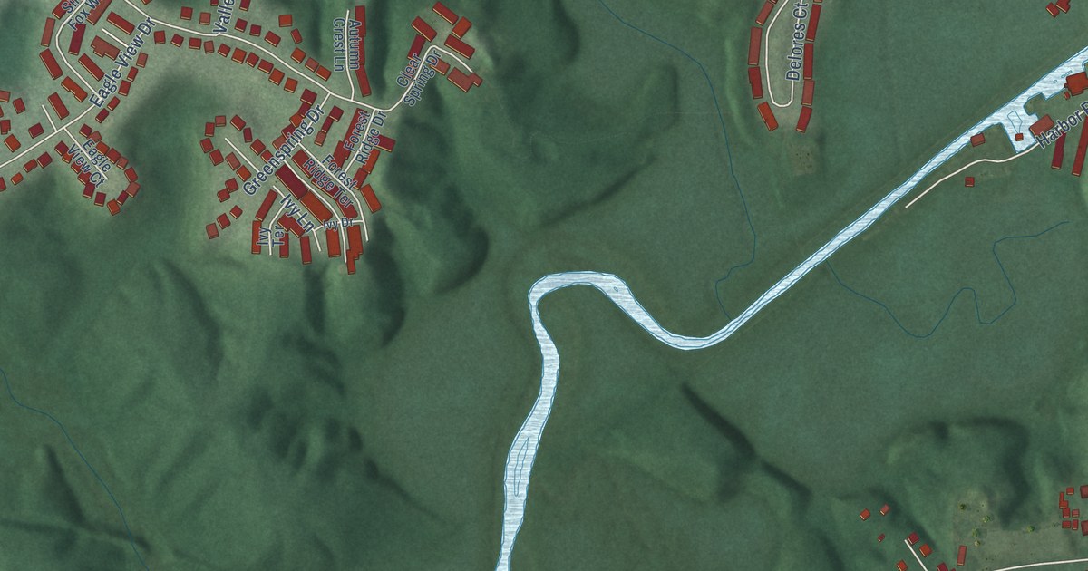
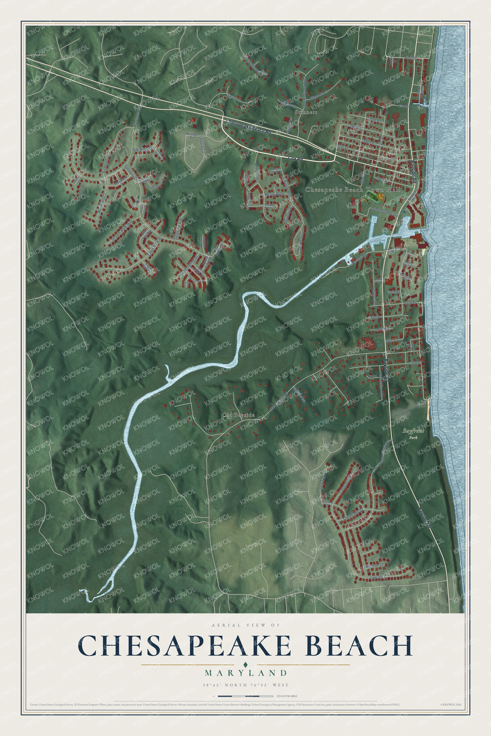
This beautifully detailed map of Chesapeake Beach, Maryland was created in 2026 using aerial imagery combined with modern topographical, census, street and landmark data. It’s a one-of-a-kind view of Chesapeake Beach that combines accurate data with a vintage aesthetic. The map shows every building in its true location, many of the roads carry their names, and the shaded topographic relief shows the shape of the land.
Explore an aerial view of Chesapeake Beach, Maryland
On the map you’ll find Chesapeake Beach Town Hall, Bayfront Park, Old Bayside, Stinnett, and West Beach, along with Cox Road, Bayside Road, Chesapeake Beach Road, 21st Street, First Street, Old Bayside Road, Harrison Boulevard, and more. If you look closely you can even find your house accurately drawn in its correct location. Zoom in on the preview to look for yours.
Did you know this piece of Chesapeake Beach, Maryland history?
From the National Register of Historic Places: "While the resort at Chesapeake Beach was the reason for the existence of the railroad, the railroad also provided the only reliable freight and transportation line for the northern half of Calvert County."
Take a closer look at the Chesapeake Beach map
Street and place names on the Chesapeake Beach, Maryland map
These names are printed on the map of Chesapeake Beach, Maryland.
Places: Chesapeake Beach Town Hall, Bayfront Park, Old Bayside, Stinnett and West Beach.
Streets and roads: Cox Road, Bayside Road, Chesapeake Beach Road, 21st Street, First Street, Old Bayside Road, Harrison Boulevard, Sansbury Drive, Chesapeake Village Boulevard, East Street, Lawrin Court, 27th Street.
More street names, A to Z
13th Street, 14th Street, 15th Street, 16th Street, 17th Street, 18th Street, 19th Street, 26th Street, 28th Street, 29th Street, 30th Street, Addison Bridge Place, Arcade Court, Autumn Crest Lane, Autumn Oaks Court, Band Shell Court, Bayview Hills Drive, Beaudet Lane, Cannoncade Court, Carousel Way, Cavalcade Drive, Clear Spring Drive, County Road, Dakota Avenue, Dark Star Lane, David Lane, Deer Chase Lane, Deforest Drive, Delores Court, Eagle View Court, Eagle View Drive, Elizabeth Court, Elm Lane, Forest Ridge Drive, Forest Ridge Terrace, Golden Leaf Way, Gordon Stinnett Avenue, Green Leaf Terrace, Greenspring Drive, Harbor Road, Harrison Court, Hart Lane, Heritage Drive, Ina Chase, Ivy Drive, Ivy Lane, Ivy Terrace, Legacy Circle, Legion Road, Mary Lou Lane, Mears Bend, Meridian Court, Moffat Run, Oak Ridge Drive, Rector Lookout, Richfield Lane, Saint Andrews Drive, Shady Oak Court, Silver Fox Way, Silverton Court, Silverton Lane, Smiths Retreat, Stream Walk Way, Tartan Lane, Twelfth Street, Valley View Drive, Wesley Stinnett Boulevard, Whirlway Drive, Windward Key Drive, Woodland Court, Woodland Lane, Woodshire Avenue.
See the Chesapeake Beach, Maryland map on a wall
The Chesapeake Beach map as an 18 x 24 inch print in a black frame.

This beautifully detailed map of Chesapeake Beach makes an attractive addition to your office, library, or den, and it can even be used to teach children the geography and history of the area. It also makes a great gift for someone who left Chesapeake Beach and still calls it home. When you’re done exploring, click here to get your copy of the Chesapeake Beach map.