Detailed Map of Wister, Pennsylvania
A detailed map of Wister, Pennsylvania, showing every building in its true location, the roads by name, and shaded topographical relief.

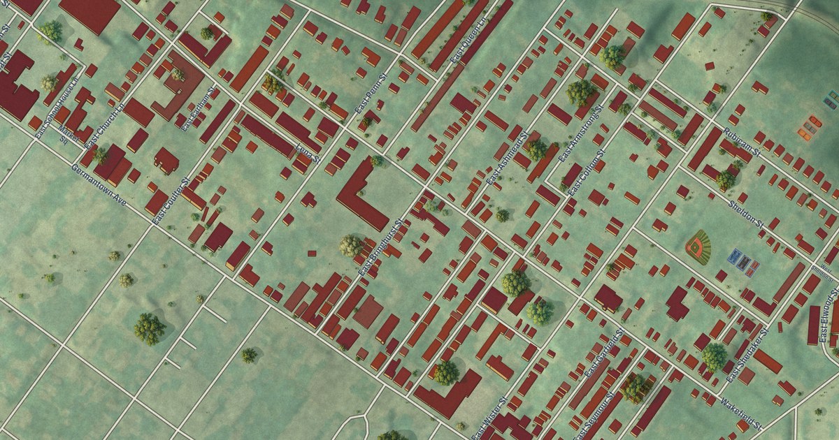
A detailed map of Wister, Pennsylvania, showing every building in its true location, the roads by name, and shaded topographical relief.
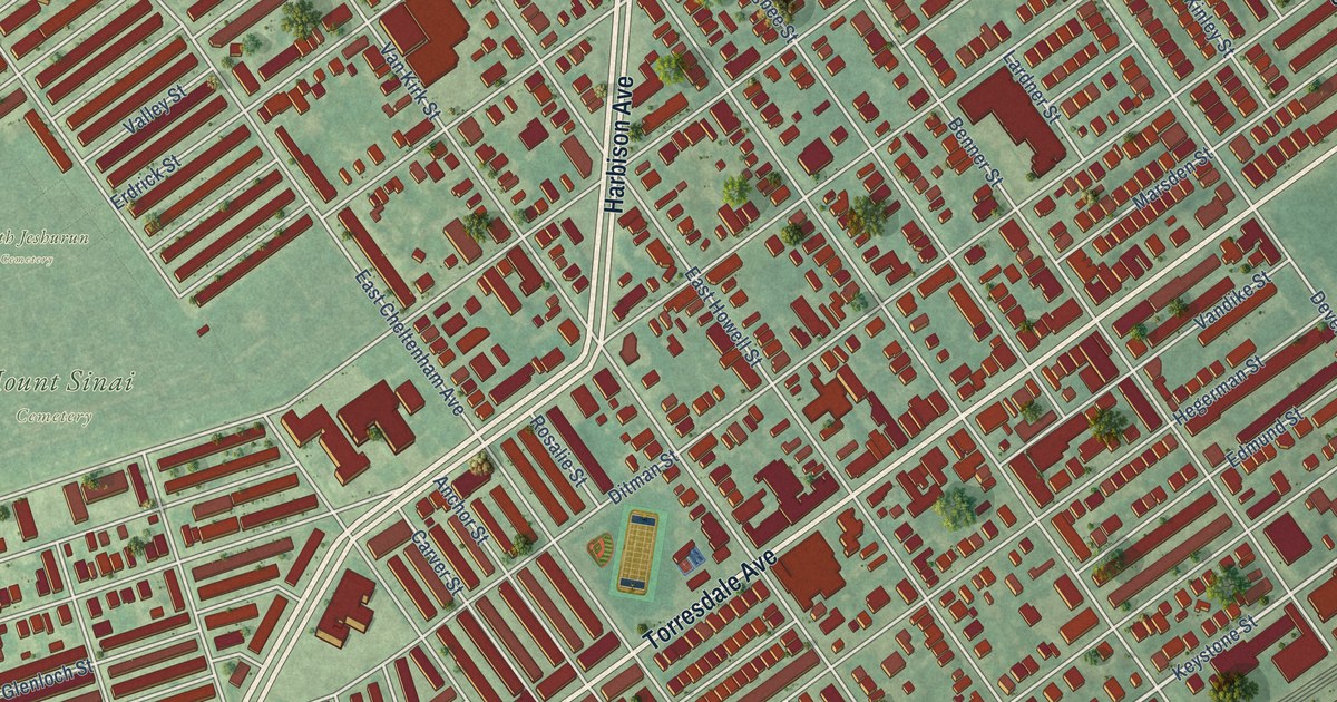
A detailed map of Wissinoming, Pennsylvania, showing every building in its true location, the roads by name, and shaded topographical relief.
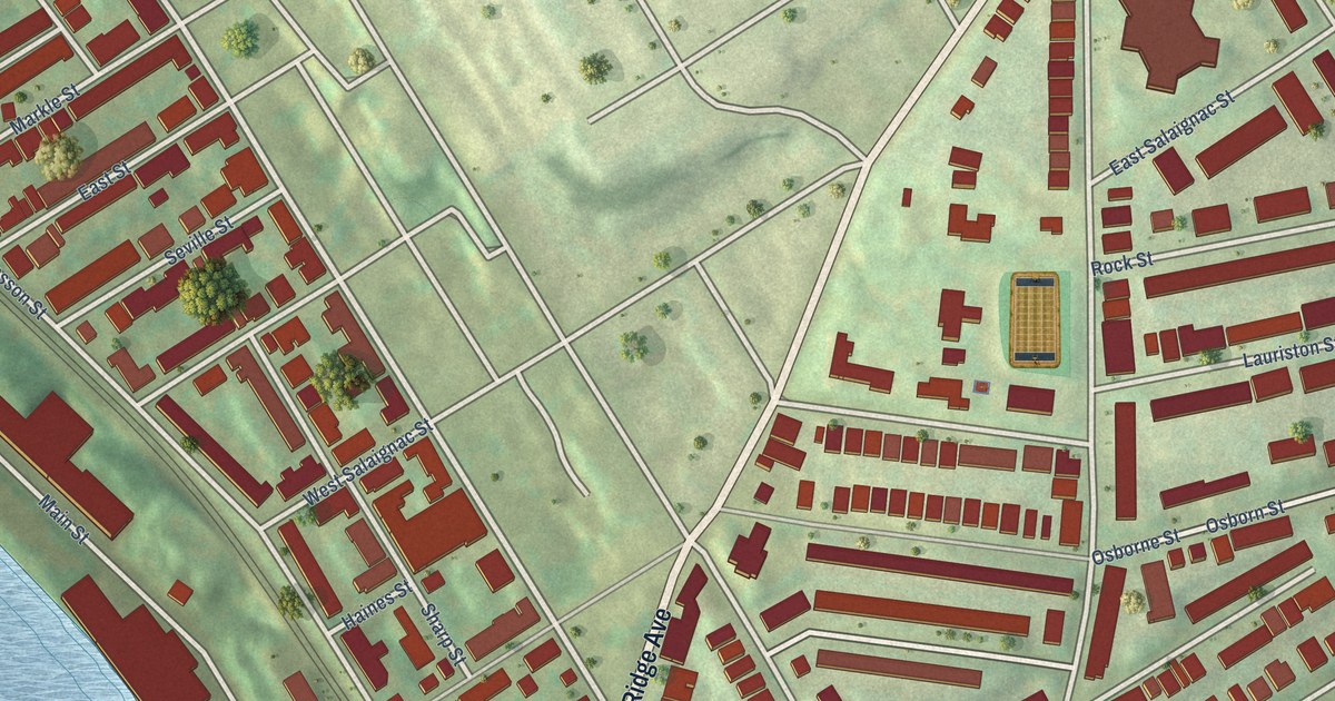
A detailed map of Wissahickon, Pennsylvania, showing every building in its true location, the roads by name, and shaded topographical relief.
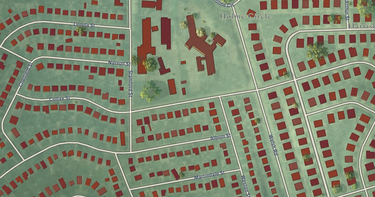
A detailed map of Winchester Park, Pennsylvania, showing every building in its true location, the roads by name, and shaded topographical relief.
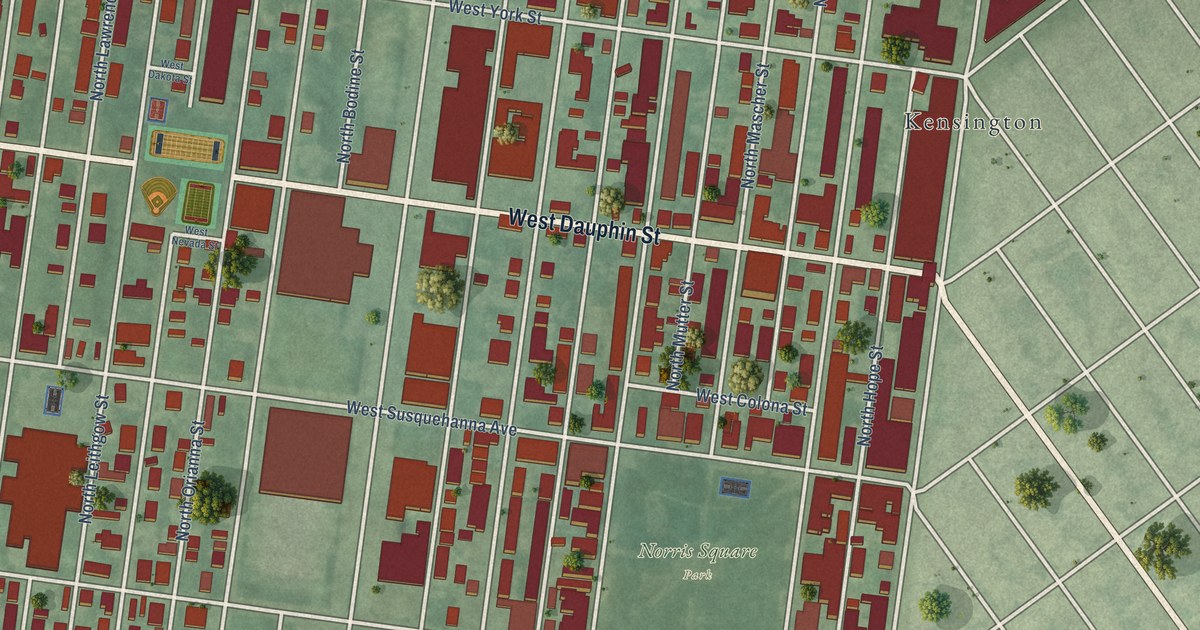
A detailed map of West Kensington, Pennsylvania, showing every building in its true location, the roads by name, and shaded topographical relief.
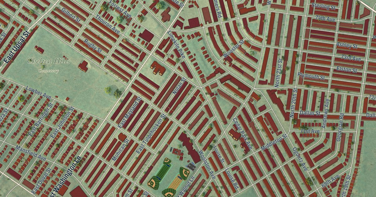
A detailed map of West Oak Lane, Pennsylvania, showing every building in its true location, the roads by name, and shaded topographical relief.
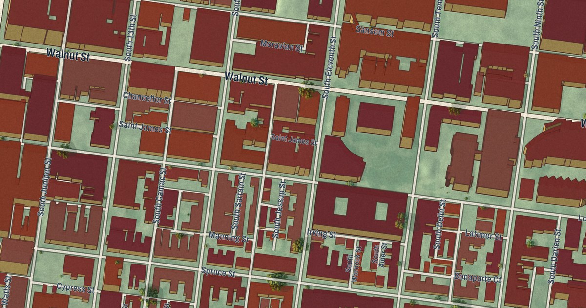
A detailed map of Washington Square West, Pennsylvania, showing every building in its true location, the roads by name, and shaded topographical relief.
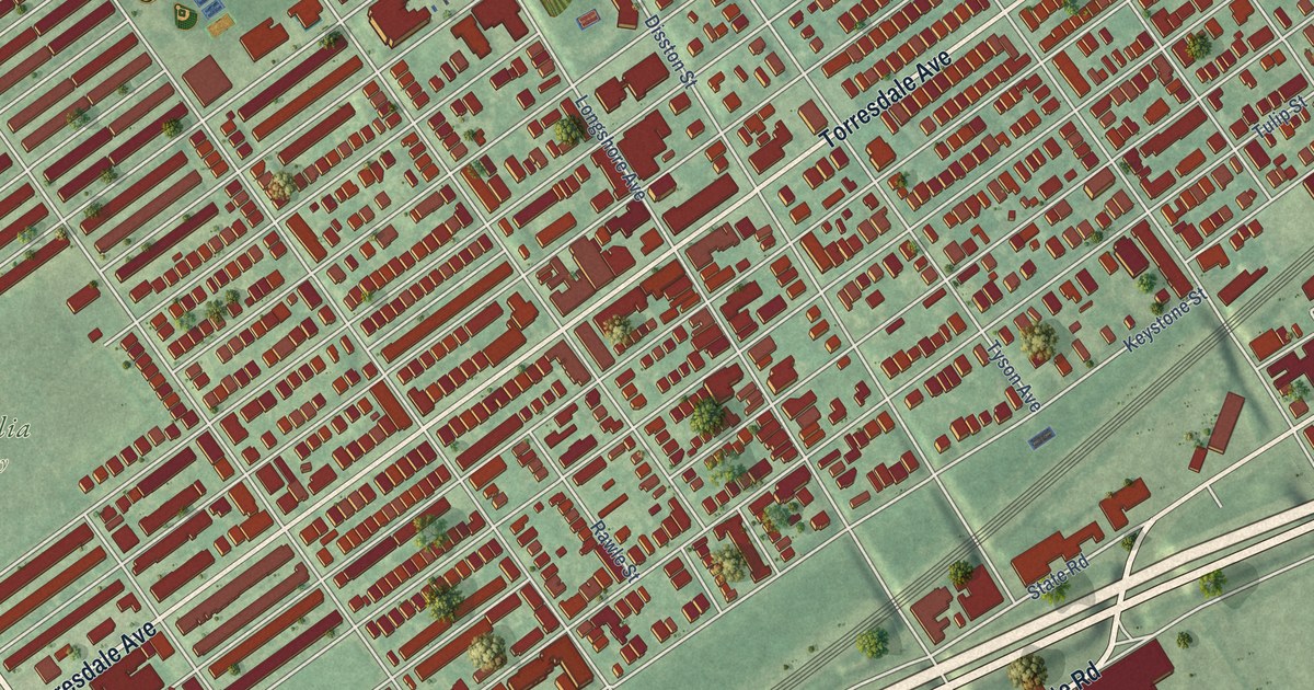
A detailed map of Tacony, Pennsylvania, showing every building in its true location, the roads by name, and shaded topographical relief.
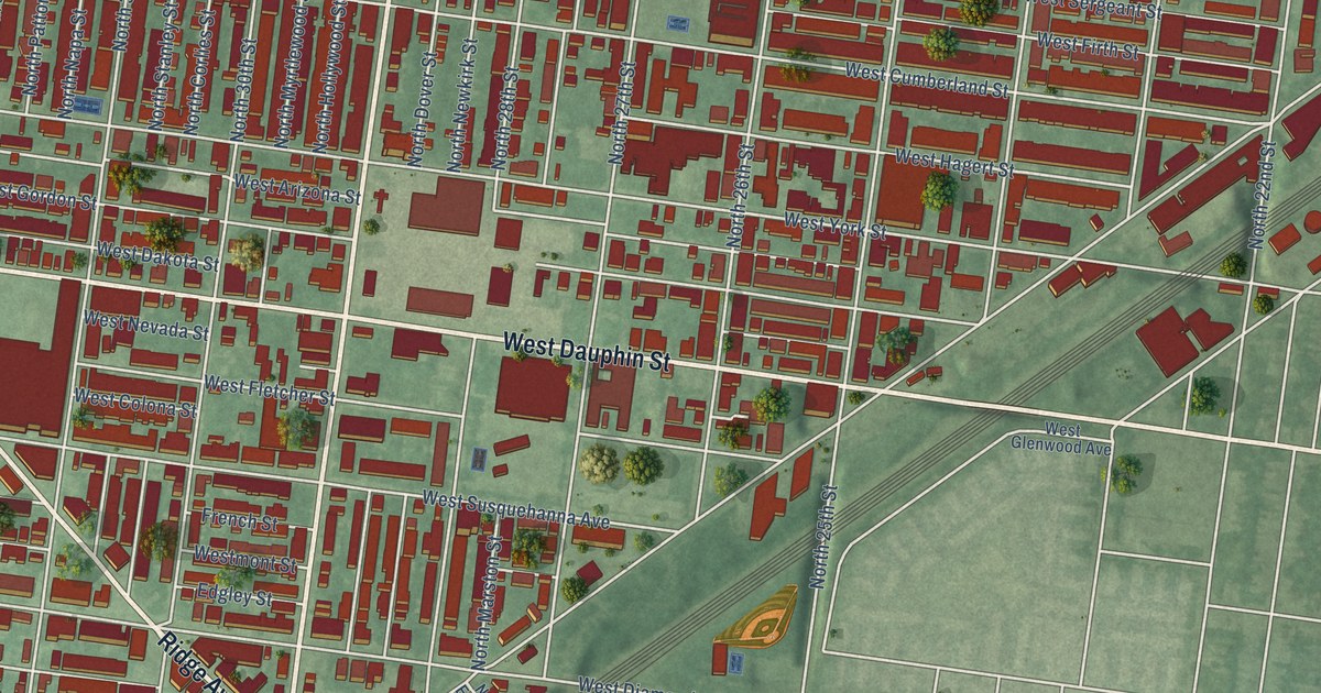
A detailed map of Strawberry Mansion, Pennsylvania, showing every building in its true location, the roads by name, and shaded topographical relief.
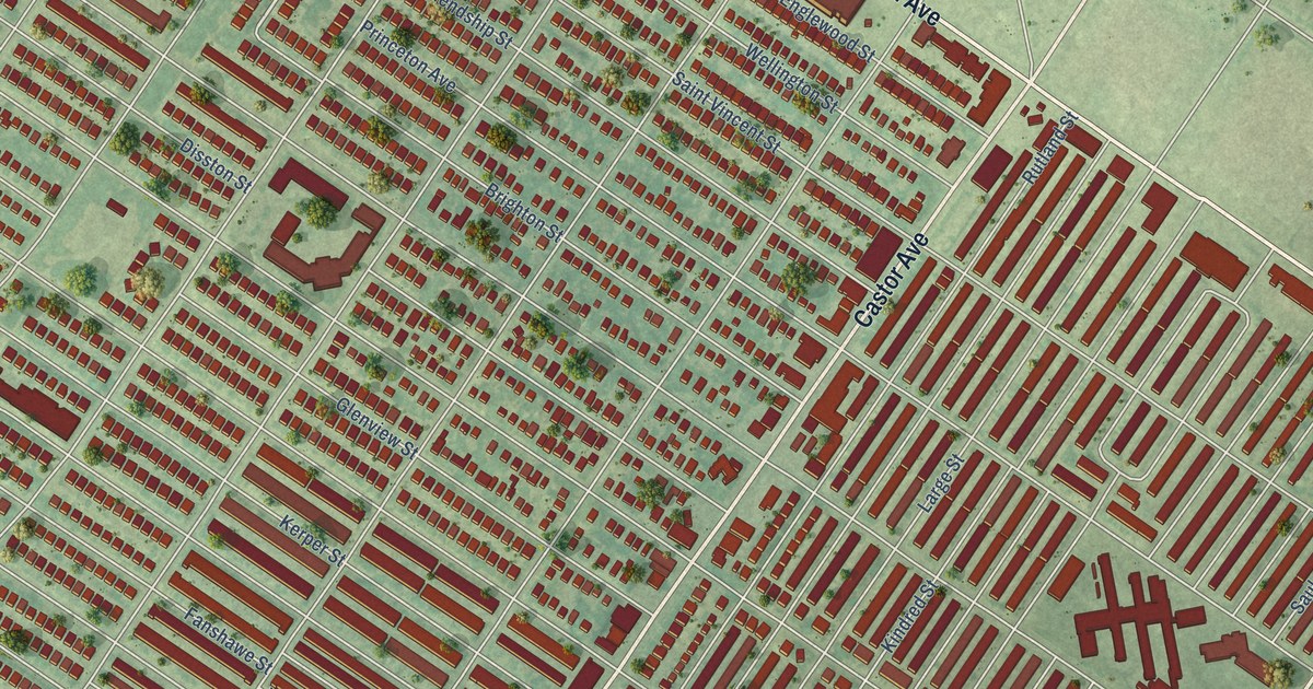
A detailed map of Oxford Circle, Pennsylvania, showing every building in its true location, the roads by name, and shaded topographical relief.
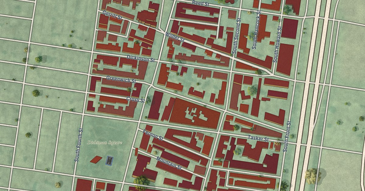
A detailed map of Pennsport, Pennsylvania, showing every building in its true location, the roads by name, and shaded topographical relief.
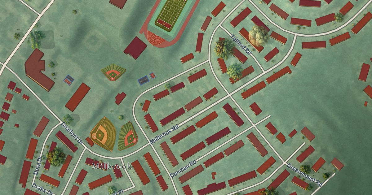
A detailed map of Millbrook, Pennsylvania, showing every building in its true location, the roads by name, and shaded topographical relief.
