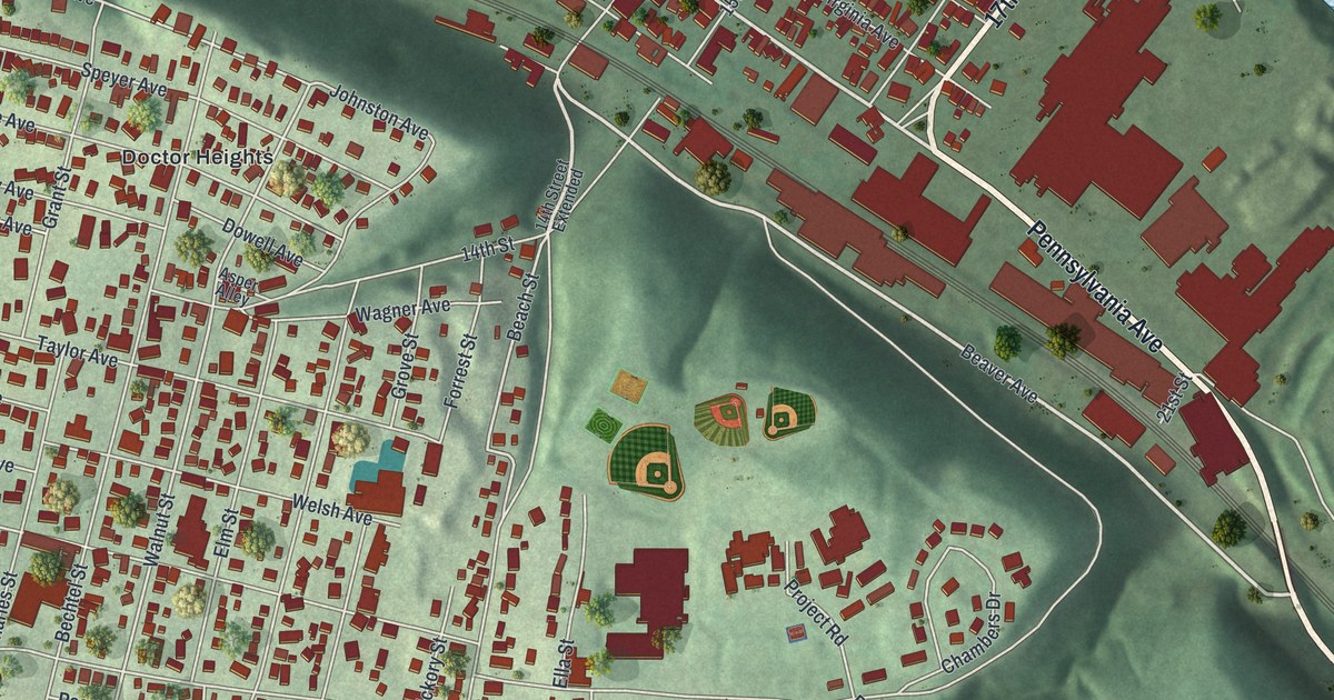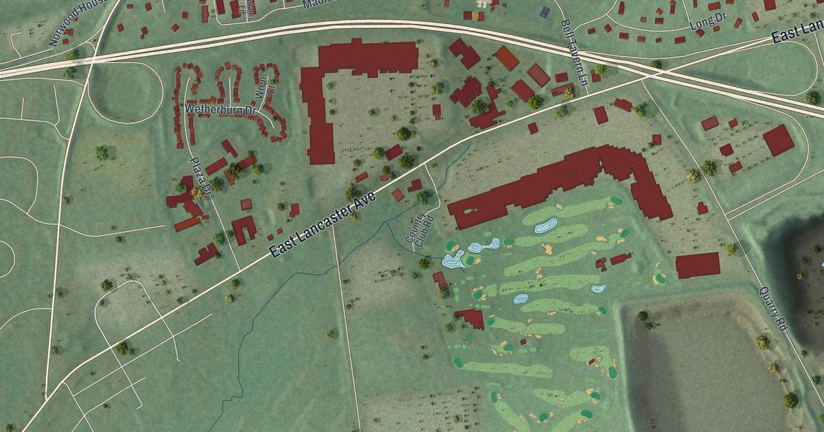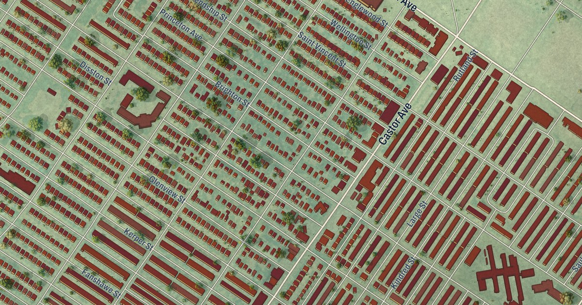
This beautifully detailed map of Oxford Circle, Pennsylvania was created in 2026 using aerial imagery combined with modern topographical, census, street and landmark data. It’s a one-of-a-kind view of Oxford Circle that combines accurate data with a vintage aesthetic. The map shows every building in its true location, many of the roads carry their names, and the shaded topographic relief shows the shape of the land.
Explore an aerial view of Oxford Circle, Pennsylvania
On the map you’ll find Har Nebo Cemetery, Burholme, and Volunteertown, along with Roosevelt Boulevard, Oxford Avenue, Castor Avenue, Cottman Avenue, Bustleton Avenue, East Roosevelt Boulevard, Dorcas Street, Saint Vincent Street, Tyson Avenue, and more. If you look closely you can even find your house accurately drawn in its correct location. Zoom in on the preview to look for yours.
Did you know this piece of Oxford Circle, Pennsylvania history?
Oxford Circle takes its name from the busy traffic circle where Roosevelt Boulevard meets Oxford Avenue. The land was mostly farms until developers bought it just before World War II. The Hyman Korman Company then built most of its brick and stone row houses from the early 1940s into the 1950s.
Take a closer look at the Oxford Circle map
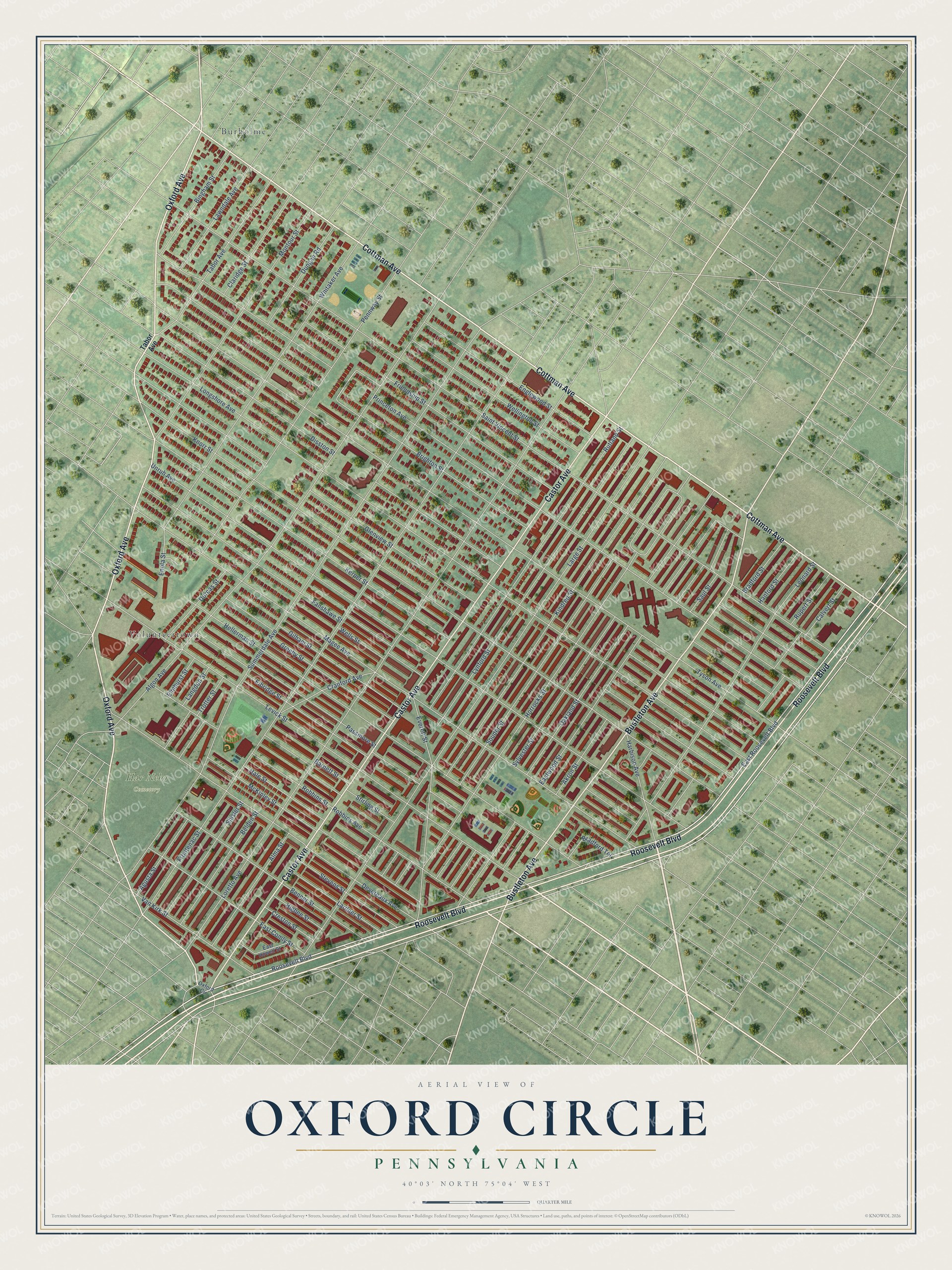
Street and place names on the Oxford Circle, Pennsylvania map
These names are printed on the map of Oxford Circle, Pennsylvania.
Places: Har Nebo Cemetery, Burholme and Volunteertown.
Streets and roads: Roosevelt Boulevard, Oxford Avenue, Castor Avenue, Cottman Avenue, Bustleton Avenue, East Roosevelt Boulevard, Dorcas Street, Saint Vincent Street, Tyson Avenue, Longshore Avenue, Princeton Avenue, Knorr Street.
More street names, A to Z
Agusta Street, Akron Street, Algon Avenue, Alma Street, Barnett Street, Belden Street, Benner Street, Bingham Street, Bradford Street, Bradford Terrace, Brighton Street, Calvert Street, Claridge Street, Cranford Avenue, Creston Street, Devereaux Avenue, Disston Street, Dungan Road, East Comly Street, East Howell Street, Eastwood Street, Elbridge Street, Elmhurst Street, Englewood Street, Enola Street, Everett Street, Fanshawe Street, Friendship Street, Frontenac Street, Gilham Street, Glenview Street, Greeby Street, Hale Street, Hanford Street, Harbison Avenue, Hellerman Street, Higbee Street, Horrocks Street, Kerper Street, Kindred Street, Langdon Street, Lardner Street, Large Street, Lawndale Avenue, Leonard Street, Levick Street, Loretto Avenue, Lynford Street, Magee Avenue, McKinley Street, Montour Street, Oakland Street, Oxford Circle, Passmore Street, Pennway Street, Robbins Avenue, Robbins Street, Rupert Street, Rutland Street, Saul Street, Shisler Street, Souder Street, Stevens Street, Stirling Street, Summerdale Avenue, Sylvester Street, Tabor Avenue, Trotter Street, Unruh Avenue, Van Kirk Street, Wellington Street, Wells Street, Whitaker Avenue.
See the Oxford Circle, Pennsylvania map on a wall
The Oxford Circle map as an 18 x 24 inch print in a black frame.

This beautifully detailed map of Oxford Circle makes an attractive addition to your office, library, or den, and it can even be used to teach children the geography and history of the area. It also makes a great gift for anyone with Oxford Circle roots. When you’re done exploring, click here to get your copy of the Oxford Circle map.