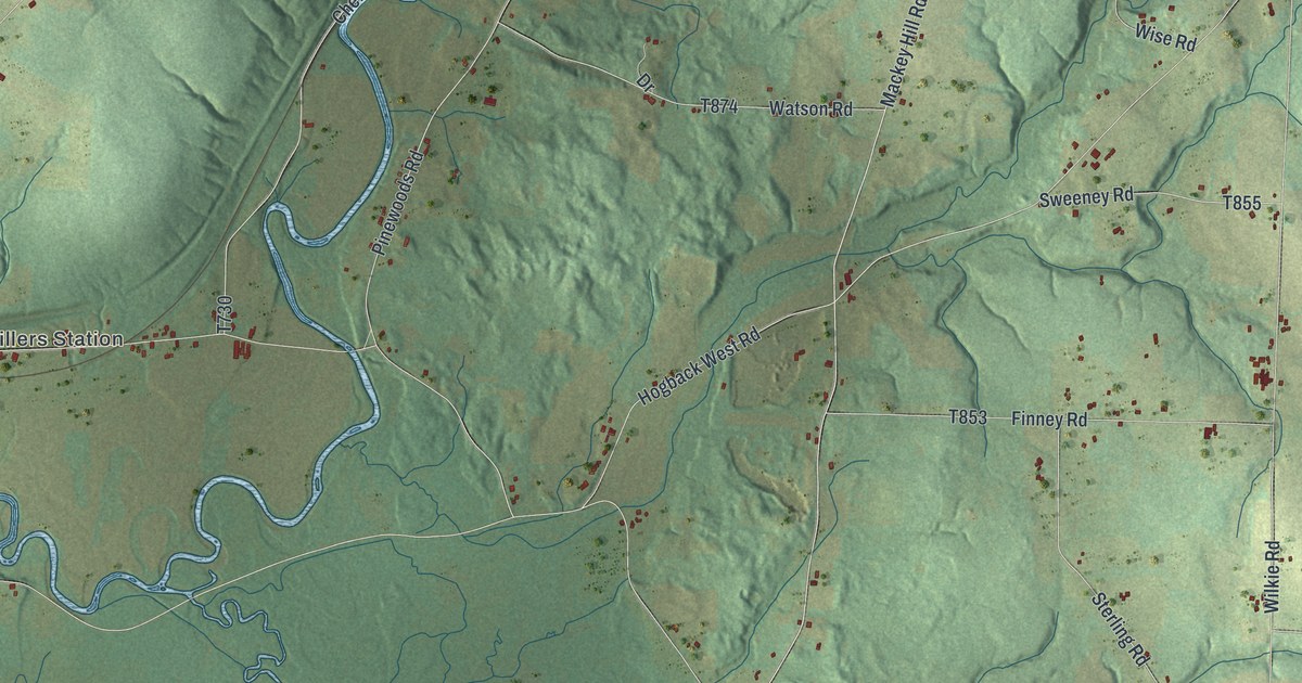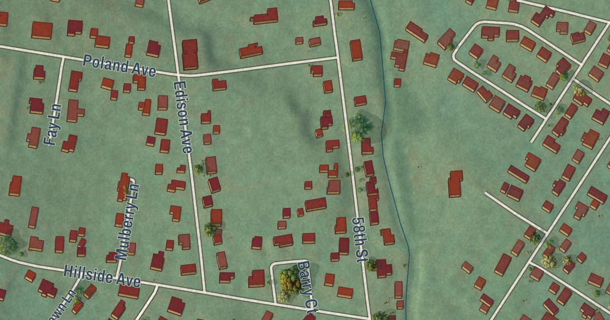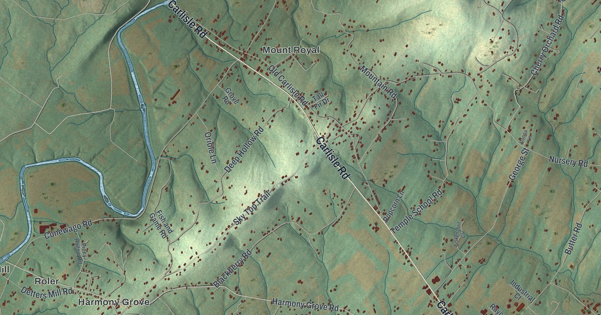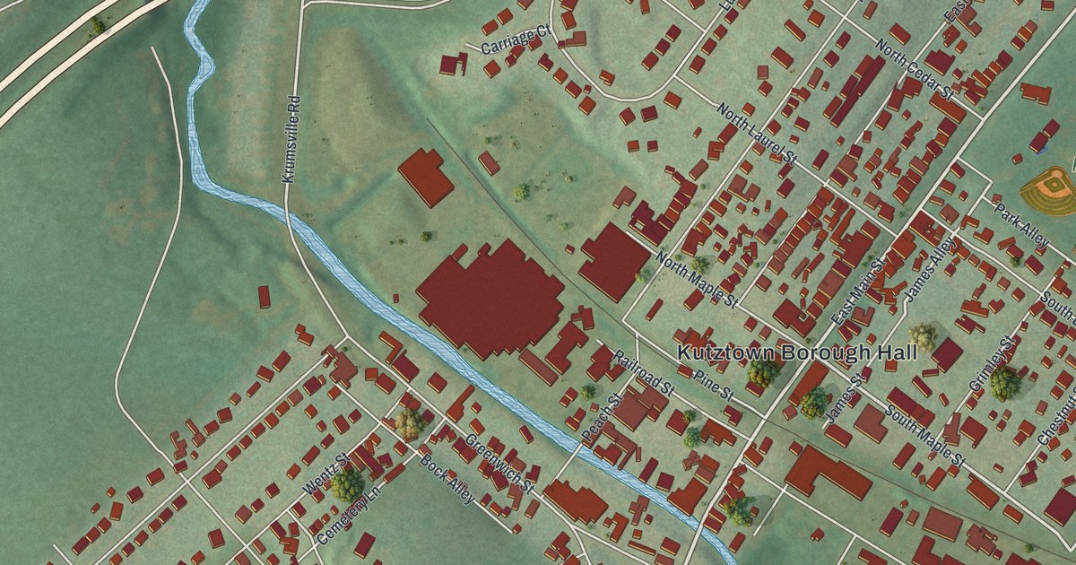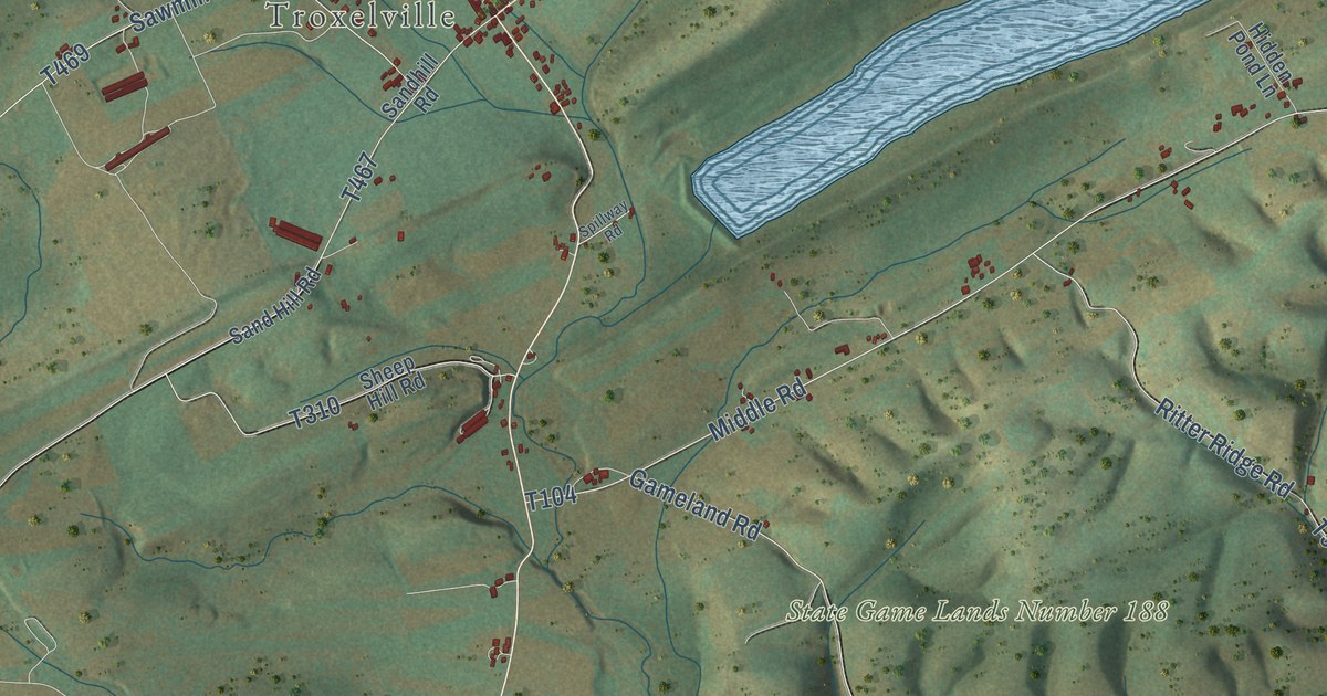
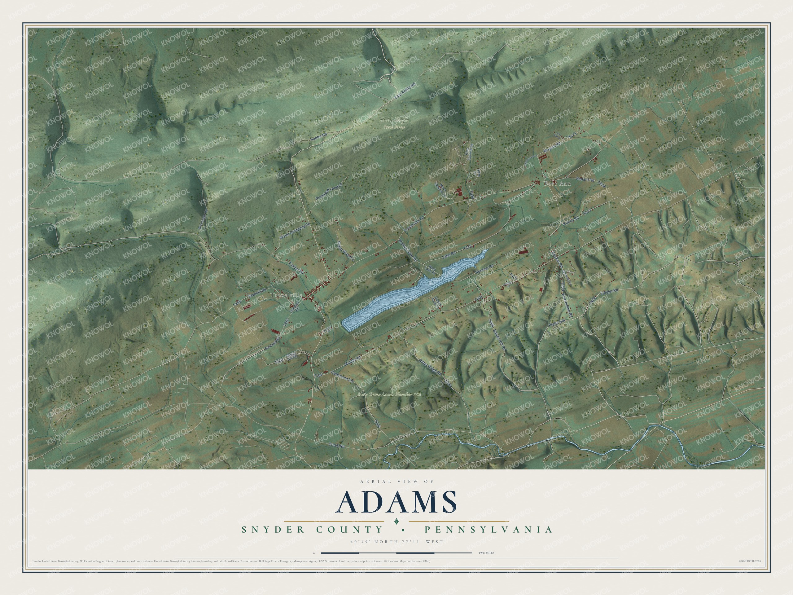
This beautifully detailed map of Adams, Snyder County, Pennsylvania was created in 2026 using aerial imagery combined with modern topographical, census, street and landmark data. It’s a one-of-a-kind view of Adams that combines accurate data with a vintage aesthetic. The map shows every building in its true location, many of the roads carry their names, and the shaded topographic relief shows the shape of the land.
Explore an aerial view of Adams, Snyder County, Pennsylvania
On the map you’ll find Port Ann, Troxelville, Bald Eagle State Forest, State Game Lands Number 188, and Platts Hill, along with Decker Tree Farm Lane, Longer Road, Middle Road, Renard Road, Bailey Hill Road, and more. If you look closely you can even find your house accurately drawn in its correct location. Zoom in on the preview to look for yours.
Did you know this piece of Adams, Snyder County, Pennsylvania history?
From the 1886 History of the Susquehanna and Juniata Valleys: "The perpetrators of the act were finally captured, convicted and duly punished."
Take a closer look at the Adams, Snyder County map
Street and place names on the Adams, Snyder County, Pennsylvania map
These names are printed on the map of Adams, Snyder County, Pennsylvania.
Places: Port Ann, Troxelville, Bald Eagle State Forest and State Game Lands Number 188.
Streets and roads: Kissimmee Road, Platts Hill, Longer Road, Middle Road, Renard Road, Creek Road, Sawmill Road, Herman Road, Timber Road, Bailey Hill Road, Lake Road, Gameland Road.
More street names, A to Z
Abby Lane, Breininger Road, Cooper Lane, Decker Road, East Kettle Road, Ger Dale Drive, Gray Squirrel Road, Hidden Pond Lane, Honeysuckle Drive, Hunter Road, Kuhns Road, Moon Shadow Lane, Moyers Road, Norman Lane, Promised Land Lane, Regal Wood Lane, Ritter Ridge Road, Sand Hill Road, Sandhill Road, Sheep Hill Road, Spillway Road, Troxelville Road, Walker Lake Road, Water Company Road, West Lake Road.
See the Adams, Snyder County, Pennsylvania map on a wall
The Adams, Snyder County map as an 18 x 24 inch print in a black frame.

This beautifully detailed map of Adams, Snyder County makes an attractive addition to your office, library, or den, and it can even be used to teach children the geography and history of the area. It also makes a great gift for anyone who grew up in Adams or moved away. When you’re done exploring, click here to get your copy of the Adams, Snyder County map.