Detailed Map of Island Pond, Vermont
A detailed map of Island Pond, Vermont, showing every building in its true location, the roads by name, and shaded topographical relief.

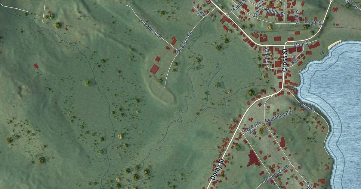
A detailed map of Island Pond, Vermont, showing every building in its true location, the roads by name, and shaded topographical relief.
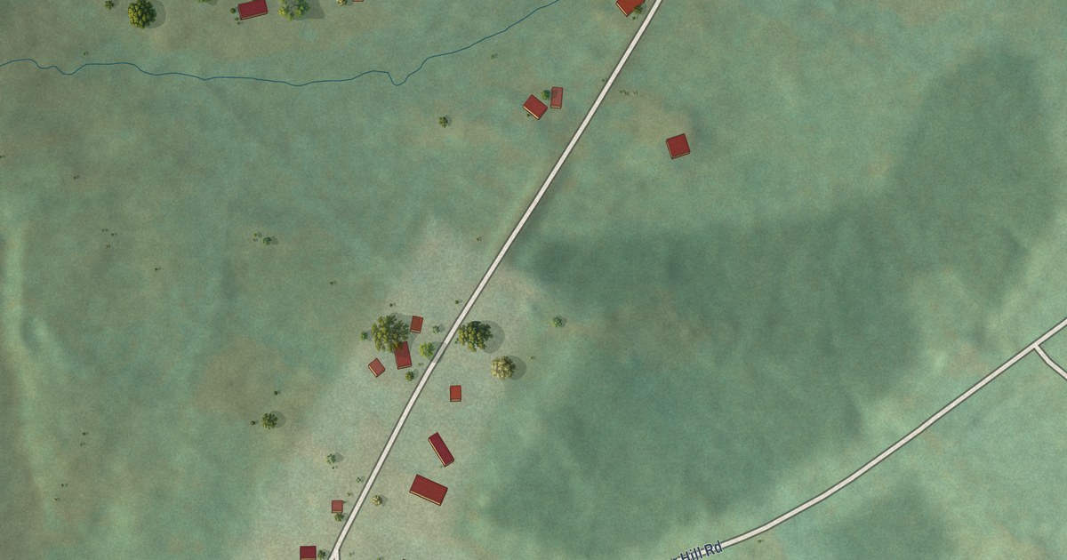
A detailed map of Jericho Center, Vermont, showing every building in its true location, the roads by name, and shaded topographical relief.
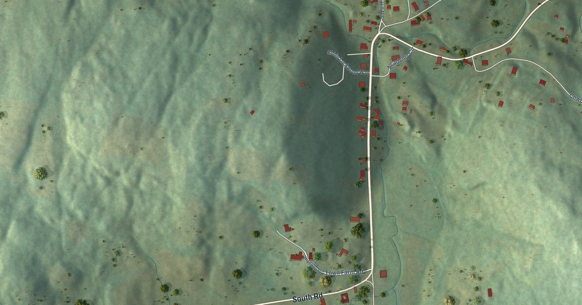
A detailed map of South Woodstock, Vermont, showing every building in its true location, the roads by name, and shaded topographical relief.
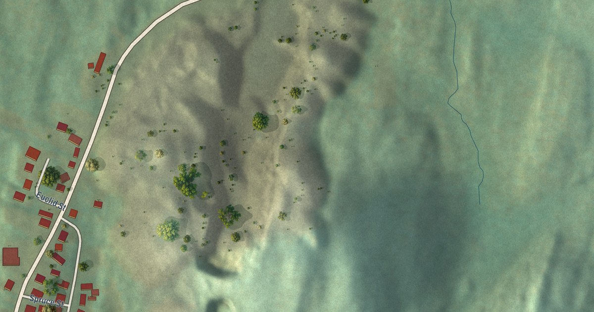
A detailed map of West Pawlet, Vermont, showing every building in its true location, the roads by name, and shaded topographical relief.
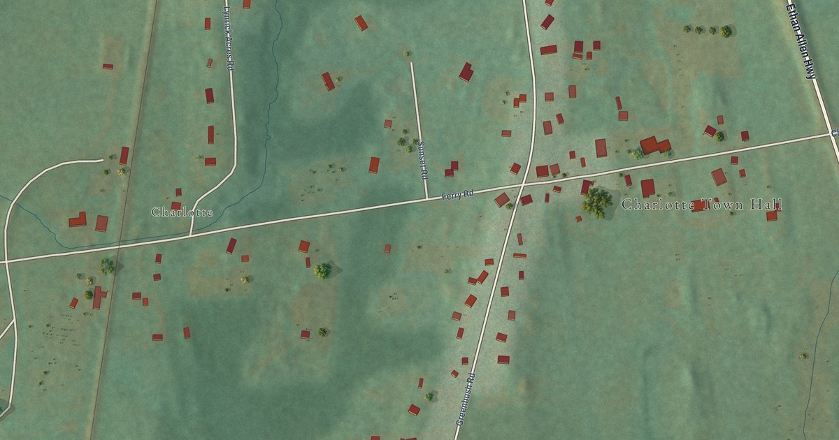
A detailed map of West Charlotte, Vermont, showing every building in its true location, the roads by name, and shaded topographical relief.
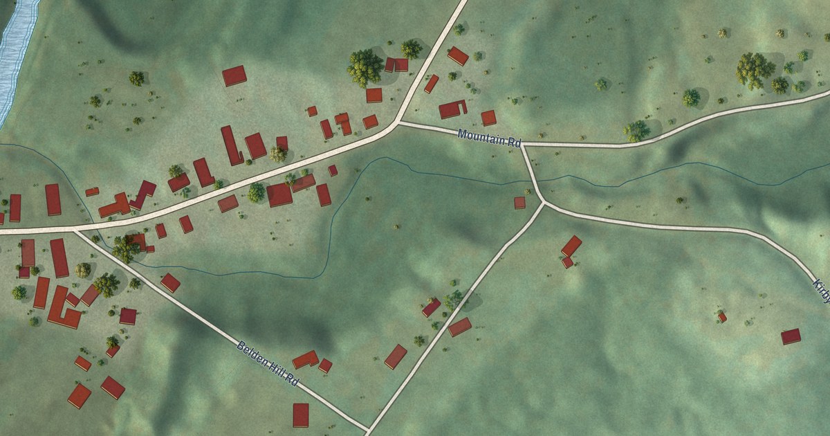
A detailed map of East Burke, Vermont, showing every building in its true location, the roads by name, and shaded topographical relief.
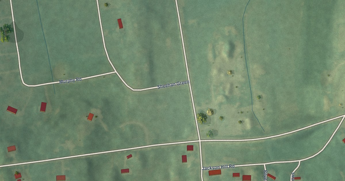
A detailed map of East Charlotte, Vermont, showing every building in its true location, the roads by name, and shaded topographical relief.
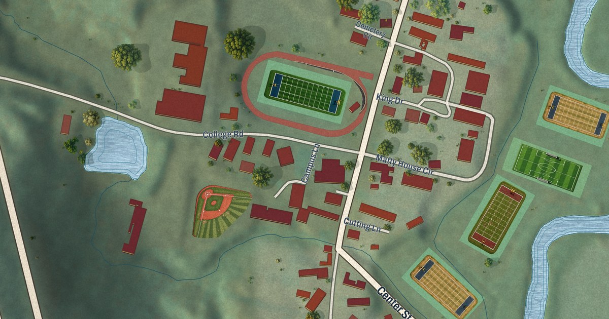
A detailed map of Lyndon Center, Vermont, showing every building in its true location, the roads by name, and shaded topographical relief.
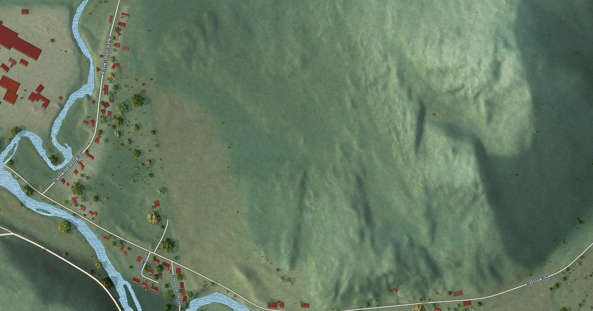
A detailed map of Beecher Falls, Vermont, showing every building in its true location, the roads by name, and shaded topographical relief.
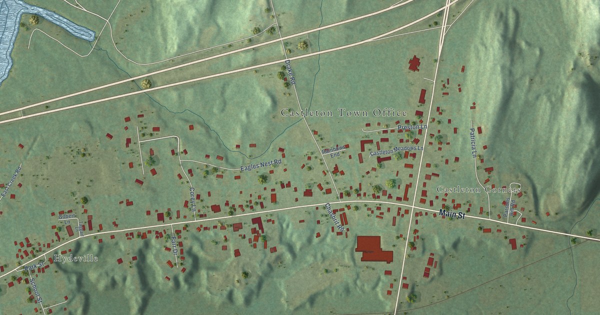
A detailed map of Castleton Four Corners, Vermont, showing every building in its true location, the roads by name, and shaded topographical relief.